
Photo: Wikipedia
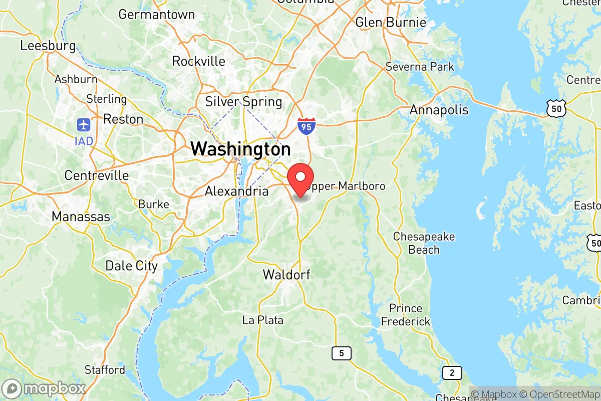
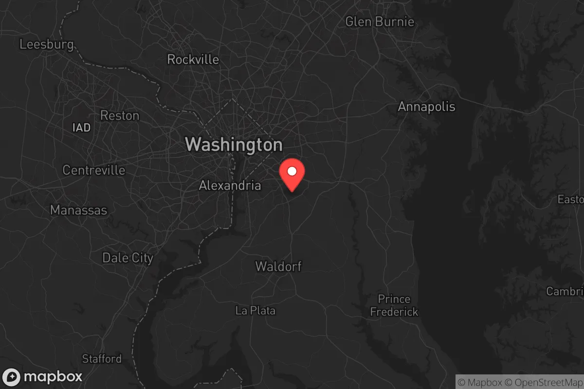
Strategic Assessment of Prince Georges County
Multiple tactical vulnerabilities. Population density, target proximity, or disaster risk are likely compounding. A retreat property and exit planning is required.
What does the Strategic Assessment tell us?
Our Strategic Assessment grades tactical survivability of an area. Major population centers, military targets, fallout zones, natural disasters, and border exposure all drive risk — lower exposure means a more defensible position in a crisis.
This is heavily inspired by Joel Skousen's Strategic Relocation book. Highly recommended you checkout the book ($)What does this tell us?
Our Strategic Assessment grades tactical survivability of an area. Major population centers, military targets, fallout zones, natural disasters, and border exposure all drive risk — lower exposure means a more defensible position in a crisis.
This is heavily inspired by Joel Skousen's Strategic Relocation book. Highly recommended you checkout the book ($)Strategic Pillars

Key Distances
Strategic Assessment Analysis
Prince Georges County, Maryland, presents a complex strategic picture for the conservative relocator focused on resilience. Its proximity to Washington, D.C., and the dense I-95 corridor is a double-edged sword: it offers immediate access to federal infrastructure and economic stability, but it also places you squarely in the crosshairs of any national-scale disruption. For a prepper or survivalist, the county’s location is less about natural advantages and more about managing proximity to high-value, high-risk targets while leveraging the relative buffer of the surrounding Chesapeake Bay region. The key question isn’t whether you can survive here—it’s whether you can thrive when the system falters.
Geographic position and natural advantages for long-term stability
Prince Georges County sits in a transitional zone between the urban core of the nation’s capital and the more rural, agricultural areas of Southern Maryland. The county’s eastern edge touches the Patuxent River and the Chesapeake Bay, providing access to tidal waterways that could serve as both a water source and a potential escape route. The land is generally flat to gently rolling, with significant forest cover in areas like the Patuxent Research Refuge and the Beltsville Agricultural Research Center—both of which are federal lands that could become contested zones in a collapse scenario. The county’s position along the Baltimore-Washington Parkway and I-95 means you’re never more than 30 minutes from a major federal installation, including Joint Base Andrews (home to Air Force One) and the U.S. Census Bureau headquarters in Suitland. For a relocator, this means you’re living in a region where the federal government will prioritize security, but that also makes you a target for any adversary seeking to disrupt national command and control. The natural advantages are modest: the bay provides seafood and a maritime buffer, but the lack of significant elevation or defensible terrain means you’ll rely on community and infrastructure rather than geography for protection.
Risks, exposures, and proximity to fallout-relevant landmarks
The primary risk for Prince Georges County is its location within the Washington, D.C., blast and fallout zone. The county is directly downwind of the Capitol, the Pentagon, and the White House, meaning any nuclear exchange or major terrorist event targeting the federal government would deposit fallout across large swaths of the county. Towns like Bowie, Upper Marlboro, and Clinton are within 15-25 miles of the D.C. border, putting them in the moderate-to-heavy fallout zone for a ground burst. Additionally, the county hosts critical infrastructure that could become secondary targets: the Indian Head Naval Surface Warfare Center in neighboring Charles County is a major explosives and propellant research facility, and the Brandywine area contains the Joint Base Andrews flight line. The I-95 corridor through the county is a chokepoint for any evacuation from D.C., meaning gridlock would be immediate and catastrophic. For the prepper, the risk isn’t just the initial event—it’s the secondary effects: looting, civil unrest, and the influx of millions of displaced people from the capital region. The county’s proximity to the Chesapeake Bay Bridge (a key evacuation route to the Eastern Shore) means that any major event would turn local roads into parking lots. The county also has a significant number of chemical and fuel storage facilities along the Patuxent River and near the Washington Gas plant in Forestville, which could become hazardous if damaged.
Practical resilience for a relocator: food, water, energy, and defensibility
For the relocator serious about self-sufficiency, Prince Georges County offers a mixed bag. Water is the biggest concern: the county relies heavily on the Washington Suburban Sanitary Commission (WSSC) for treated water from the Potomac River, which is vulnerable to contamination or disruption. Private wells are available in more rural areas like Croom and Accokeek, but these are shallow and could be affected by saltwater intrusion or fallout. Rainwater collection is feasible given the region’s 40+ inches of annual precipitation, but you’ll need storage capacity for extended dry spells. Food production is possible but limited: the county has a few remaining farms in the southern part, particularly around Marlton and Rosaryville, but most land is suburban or commercial. Community gardens exist but are not secure. For energy, grid dependency is high, though solar panels are becoming more common in newer developments. Natural gas is widely available, but pipelines are vulnerable to sabotage. Defensibility is the weakest link: the county is mostly flat, with dense suburban neighborhoods that offer little tactical advantage. A rural property with a long driveway and wooded buffer is your best bet, but even then, you’re within a 20-minute drive of a major road. The county’s police presence is strong, but in a SHTF scenario, they’ll be overwhelmed by the sheer volume of people fleeing D.C. Your best strategy is to establish a network of like-minded neighbors and stockpile supplies for at least 90 days, with a focus on medical gear and ammunition—because the biggest threat here isn’t nature, it’s the desperate masses.
The overall strategic picture for Prince Georges County is one of calculated risk. It’s not a place for the lone wolf prepper who wants to disappear into the woods—there’s no wilderness to hide in. But for a conservative relocator who values proximity to federal employment, good schools, and a stable tax base, it offers a unique blend of opportunity and vulnerability. The county’s location near Joint Base Andrews and the Patuxent River Naval Air Station means that in a crisis, you’ll be near the people who have the helicopters and the radios. The downside is that you’ll also be near the people who have the targets on their backs. If you’re willing to invest in a well-fortified home, build a community of trusted allies, and accept that you’re living in the shadow of the empire’s capital, Prince Georges County can work. But if your goal is to be off the grid and out of sight, look further south—toward St. Mary’s County or the Eastern Shore. Here, you’re in the game, whether you like it or not.
* Values derived from national, state, county, city and local statistics and may differ in a specific area. Last updated: 2026-05-12T13:50:00.000Z
Narrative content on this page is AI-generated and may contain mistakes. Verify any details that matter before acting on them.
ReloMaps may earn a commission from affiliate links at no extra cost to you.