
Photo: Wikipedia
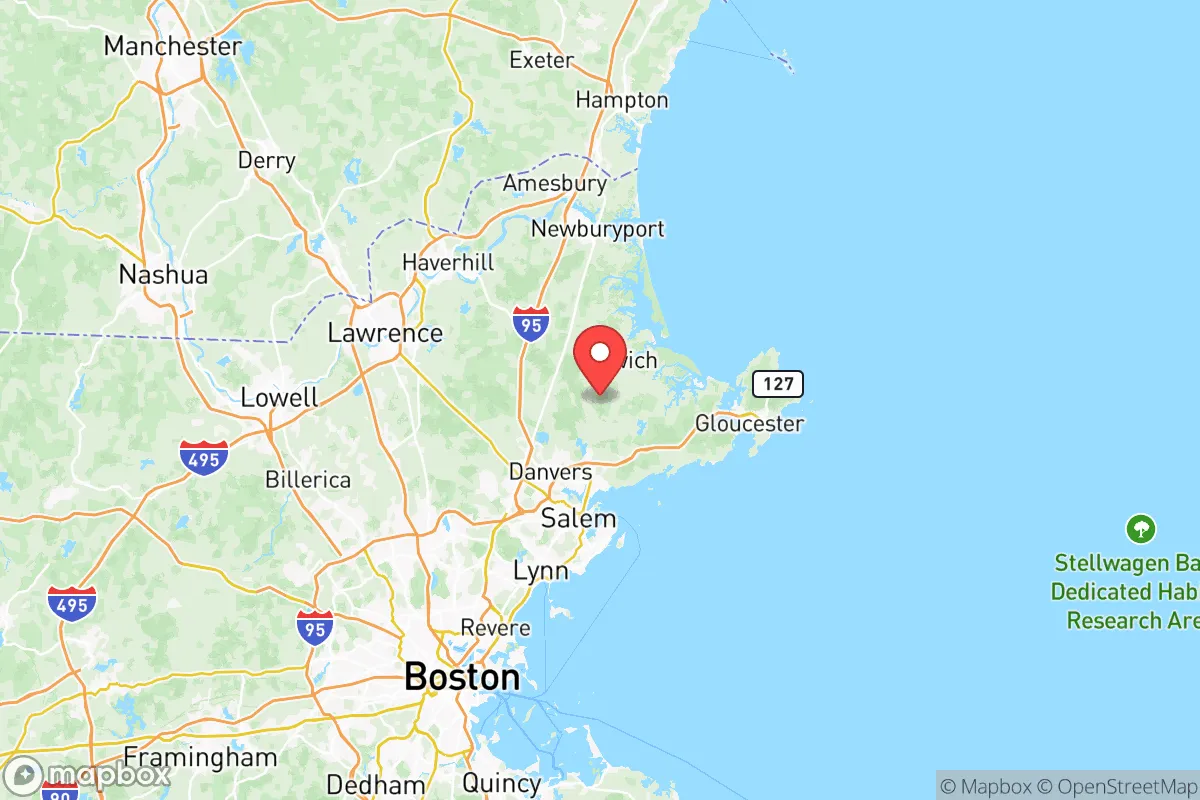
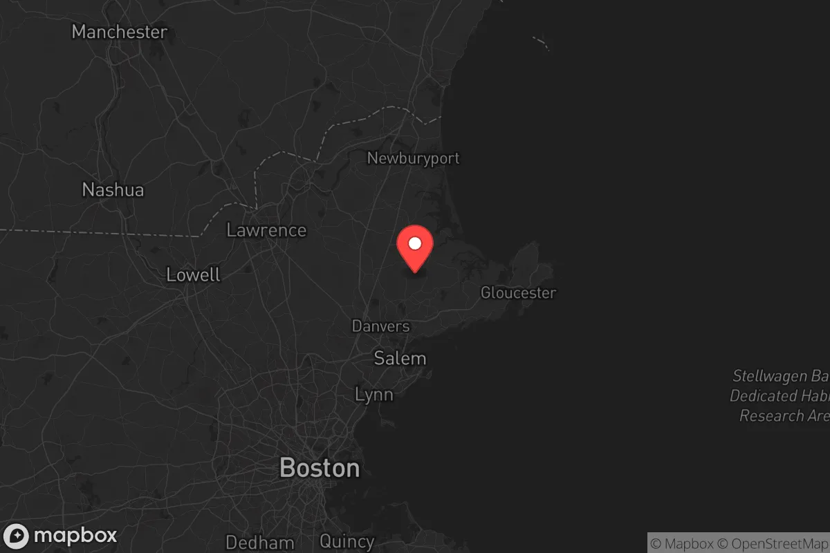
Strategic Assessment of Essex County
Multiple tactical vulnerabilities. Population density, target proximity, or disaster risk are likely compounding. A retreat property and exit planning is required.
What does the Strategic Assessment tell us?
Our Strategic Assessment grades tactical survivability of an area. Major population centers, military targets, fallout zones, natural disasters, and border exposure all drive risk — lower exposure means a more defensible position in a crisis.
This is heavily inspired by Joel Skousen's Strategic Relocation book. Highly recommended you checkout the book ($)What does this tell us?
Our Strategic Assessment grades tactical survivability of an area. Major population centers, military targets, fallout zones, natural disasters, and border exposure all drive risk — lower exposure means a more defensible position in a crisis.
This is heavily inspired by Joel Skousen's Strategic Relocation book. Highly recommended you checkout the book ($)Strategic Pillars

Key Distances
Strategic Assessment Analysis
Essex County, Massachusetts, presents a complex strategic picture for those prioritizing resilience and preparedness. While its historic towns and coastal geography offer certain natural advantages, its position within the densely populated Boston metropolitan area introduces significant vulnerabilities that a conservative-minded relocator must weigh carefully. The county’s real strength lies not in isolation, but in its layered access to maritime resources, dispersed population centers, and a deep-rooted New England tradition of self-reliance—though these benefits come with the heavy cost of proximity to high-value, high-risk targets.
Geographic position and natural advantages for long-term sustainability
Essex County stretches from the New Hampshire border south to the outskirts of Boston, encompassing a varied landscape of rocky coastline, tidal rivers, and inland forests. The county’s eastern edge along the Atlantic, from Salisbury down through Gloucester and Marblehead, provides direct access to rich fishing grounds and a maritime culture that could sustain a community if supply chains falter. Inland towns like Andover and North Andover sit on the Merrimack River, a major water source that also offers a potential transportation corridor away from coastal threats. The region’s cold winters and rocky soil discourage dense agriculture, but the presence of working farms in Georgetown and West Newbury—plus a strong local food movement—means a relocator can find pockets of food production. The county’s position also places it outside the immediate blast radius of Boston’s urban core, while still close enough to monitor or access its resources if needed. For a prepper, the key advantage is the mix of coastal and inland terrain: you can retreat to a wooded property in Boxford or Middleton and still be within a day’s travel of the ocean for protein and trade.
Risks, exposures, and proximity to fallout-relevant landmarks
The most glaring vulnerability for Essex County is its proximity to Boston, a primary target for any large-scale conflict or terror event. The county sits directly in the path of fallout patterns from a strike on the city’s financial district, Logan International Airport, or the Port of Boston—all within 20-30 miles of southern Essex towns like Lynn and Salem. The county itself hosts several high-value targets: the Beverly and Hanscom Air Force Bases (the latter in Bedford, just over the line) are military installations that could draw kinetic or cyber attacks. The New England Produce Center in Chelsea and the Conley Terminal in South Boston are critical logistics nodes, but their disruption would ripple into Essex County’s supply chains. On the energy front, the county relies on the Mystic Generating Station in Everett (a natural gas and oil plant) and the Seabrook Station nuclear plant just over the New Hampshire border—both are potential targets or failure points. A major accident at Seabrook, 15 miles from Salisbury, could render large swaths of northeastern Essex County uninhabitable for years. For a relocator, the calculus is clear: the southern half of the county (Lynn, Peabody, Salem) is too close to Boston’s blast and fallout zones, while the northern and western towns offer more buffer but still lie within the shadow of Seabrook and the I-95 corridor, a likely chokepoint for evacuation or supply movement.
Practical resilience for a relocator: food, water, energy, and defensibility
Water is the county’s strongest asset. The Merrimack River, along with numerous smaller watersheds like the Ipswich and Parker Rivers, provides a reliable surface water source—though treatment would be necessary after any contamination event. Many towns, including Newburyport and Amesbury, draw from groundwater wells, which are less vulnerable than surface supplies but still require power for pumping. For off-grid energy, the county’s coastal winds are a consistent resource; small-scale wind turbines are viable along the coast and on ridgelines inland. Solar potential is moderate due to New England’s cloud cover, but south-facing roofs in towns like Topsfield and Hamilton can still generate meaningful power. Wood heating is a major plus—Essex County has extensive forest cover, and a relocator with a woodlot or access to public forests can secure heating fuel without relying on the grid. Food resilience is weaker: the county produces only a fraction of its own calories, with most agriculture limited to hay, apples, and small-scale vegetables. However, the coastal towns offer a fallback—clams, mussels, and fish from the Atlantic are abundant, and a prepper with a boat or knowledge of tidal flats can supplement stored supplies. Defensibility is mixed. The county’s dense road network and suburban sprawl make it hard to secure a perimeter, but the many small towns and rural pockets (like Rowley or Wenham) offer natural chokepoints at bridges and narrow roads. A group with a base in a wooded area near the Merrimack could control access to both water and travel routes, but they’d be competing with thousands of others with the same idea.
The overall strategic picture for Essex County is one of calculated trade-offs. It is not a remote survivalist haven—you are never more than an hour from Boston, and the risks of fallout, infrastructure failure, and population density are real. But for a relocator who values maritime resources, a strong local community ethos, and the ability to blend into a region with a long history of self-sufficiency, the county offers a viable middle ground. The key is to choose your town carefully: avoid the southern coastal cities and the immediate shadow of Seabrook, and instead focus on the inland river towns or the northern coastal villages where you can leverage water access and forest cover. Essex County won’t save you from a direct hit on Boston, but it gives you a fighting chance to ride out the aftermath with a plan, a woodstove, and a fishing rod.
* Values derived from national, state, county, city and local statistics and may differ in a specific area. Last updated: 2026-05-12T05:22:43.000Z
Narrative content on this page is AI-generated and may contain mistakes. Verify any details that matter before acting on them.
ReloMaps may earn a commission from affiliate links at no extra cost to you.