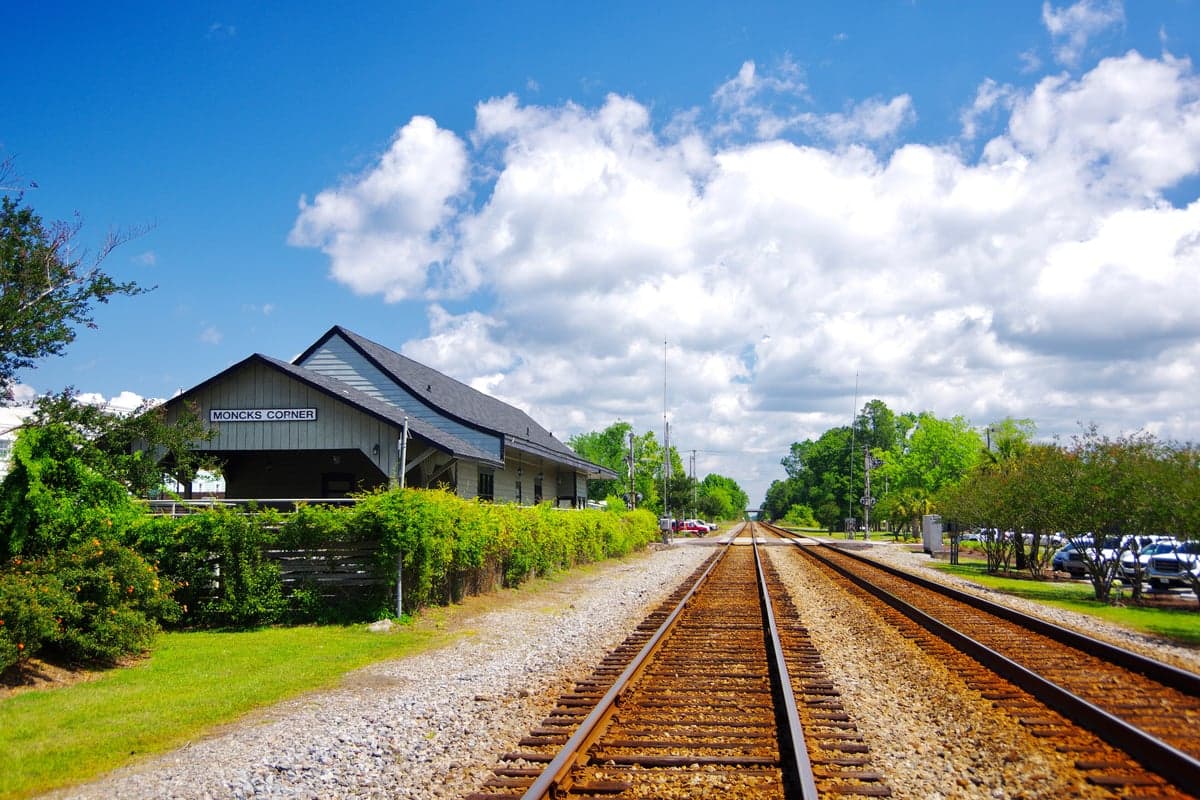
Photo: Wikipedia
Strategic Assessment of Moncks Corner, SC
Meaningful friction. Expect exposure to either population pressure, blast zones, or natural disaster risk. Consider buying a retreat property.
What does the Strategic Assessment tell us?
Our Strategic Assessment grades tactical survivability of an area. Major population centers, military targets, fallout zones, natural disasters, and border exposure all drive risk — lower exposure means a more defensible position in a crisis.
This is heavily inspired by Joel Skousen's Strategic Relocation book. Highly recommended you checkout the book ($)What does this tell us?
Our Strategic Assessment grades tactical survivability of an area. Major population centers, military targets, fallout zones, natural disasters, and border exposure all drive risk — lower exposure means a more defensible position in a crisis.
This is heavily inspired by Joel Skousen's Strategic Relocation book. Highly recommended you checkout the book ($)Strategic Pillars

Key Distances
Regional Safe Places
Below is our recommended "safe zones" in South Carolina and the surrounding area based on our strategic heuristics. For most people, it's unrealistic to live in a “safe zone” full-time due to work, family or other personal reasons. They tend to be more rural. However, many of these areas are perfect for second homes and retreat properties that double as a vacation home or even a short-term rental.


Important Note: For informational purposes only. This does not mean nothing bad ever happens in the green zones. Please use common sense. This is based on public data and modeled with AI. We tried to take a conservative approach but mistakes happen. We update this regularly as new information becomes available.
Solar Generator Recommendations
Backup power matters more here than in safer locations. We've picked three solar generators across budgets and capacity tiers — start with the budget unit if you only need a few essentials, or step up if you want to run a fridge and HVAC for days at a time.

Jackery Portable Power Station Explorer 300
Budget OptionPower on the Go: Weighing only 11 lbs, it's convenient to set up and store with book-sized foldable solar panels

BLUETTI Portable Power Station AC180
Designed for both indoor and outdoor scenarios, AC180 is highly capable as it has a robost capacity and continuous output power.

EF ECOFLOW DELTA Pro Ultra Power Station
Upgraded PickEcoFlow DELTA Pro Ultra is a whole-home energy system designed to grow with your family. Integrated with the Smart Home Panel 2, it scales to meet your evolving energy needs — keeping your home powered, intelligent, and secure through every stage of life.
We earn a commission, at no additional cost to you.
Strategic Assessment Analysis
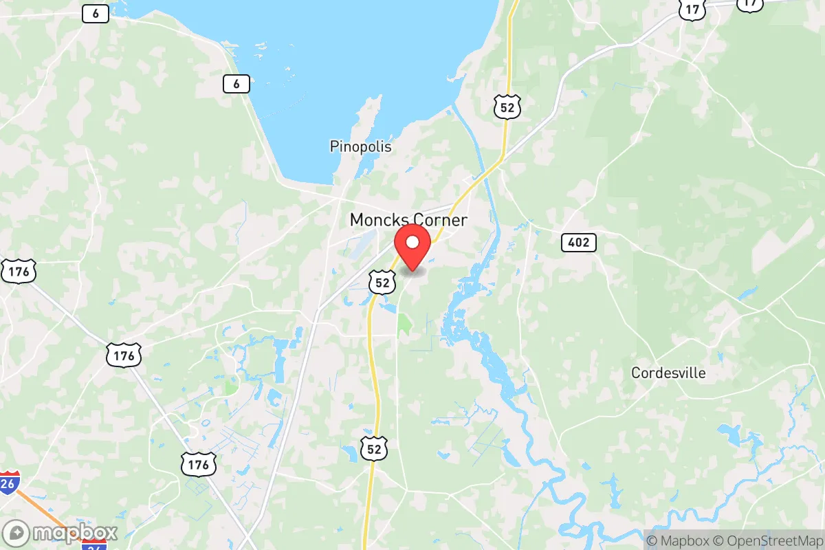
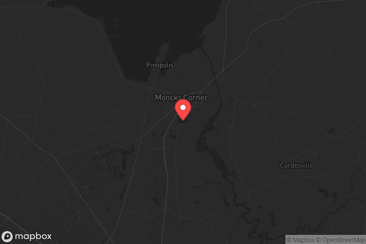
Moncks Corner, South Carolina, sits in a strategic sweet spot that resilience-minded relocators should take seriously: close enough to Charleston for supply access and medical infrastructure, yet far enough inland to dodge the worst of coastal storm surge and the immediate chaos of a major urban collapse. The town’s position along the Cooper River and its role as the Berkeley County seat give it a functional government anchor, while the surrounding Lowcountry terrain—swamps, marshes, and dense pine forests—offers natural buffering against both weather events and unwanted movement. For someone thinking in terms of long-term preparedness, Moncks Corner presents a credible base of operations, provided you understand its specific vulnerabilities and work around them.
Geographic position and natural defensive advantages
Moncks Corner sits roughly 35 miles northwest of Charleston, placing it outside the primary blast radius of any port-city disruption while still within a two-hour drive of major medical centers like MUSC and Roper St. Francis. The town is elevated at about 50 feet above sea level, which is significant in a region where much of the coastal plain sits at 10 feet or less. This elevation, combined with the surrounding Francis Marion National Forest and the Santee River basin, creates a natural buffer zone that slows approach from the coast and provides ample cover for retreat if needed. The Cooper River and Lake Moultrie—part of the Santee-Cooper hydroelectric project—form a water barrier to the east and north, making vehicular access from those directions funnel through a limited number of bridges and causeways. In a grid-down scenario, those chokepoints become defensible, though they also mean you could be trapped if you don’t have a secondary exit route. The area’s dense hardwood and pine forests offer excellent concealment and raw materials for shelter, fuel, and construction, but they also create a high wildfire risk during dry spells—something to factor into any property selection.
Risks, exposures, and proximity to fallout-relevant landmarks
The most obvious risk is Charleston itself. A major event—whether natural disaster, terrorist attack, or civil unrest—at the Port of Charleston or the Naval Weapons Station (which sits just 20 miles southeast of Moncks Corner) would send shockwaves up the I-26 corridor. The Naval Weapons Station is a high-value target in any conflict scenario, storing conventional munitions and serving as a logistics hub. A detonation or contamination event there could render large swaths of Berkeley County uninhabitable for weeks. Additionally, the Santee Cooper power grid relies on aging coal and nuclear infrastructure; the nearby VC Summer Nuclear Station (about 30 miles north) has a troubled history, including the failed nuclear expansion project that cost ratepayers billions. A containment breach or sabotage event at that facility would put Moncks Corner in the primary fallout zone depending on wind direction. Flooding is another persistent concern—Hurricane Florence in 2018 and the historic 2015 floods both demonstrated that even inland areas can see catastrophic water rise when the Santee River backs up. The town’s location between two major river systems means that a prolonged rain event or upstream dam failure could isolate neighborhoods for days. Finally, the area’s rapid growth—Berkeley County’s population jumped over 30% between 2010 and 2020—means new subdivisions are pushing into floodplains and former wetlands, increasing both traffic congestion and competition for resources in a crisis.
Practical resilience for a relocator: food, water, energy, and defensibility
Water access is a strong point. Lake Moultrie and the Cooper River provide abundant surface water, and the local water table is high enough that a well can be drilled to 100-200 feet for reliable supply. That said, the water is tannic and acidic—typical of Lowcountry blackwater—so filtration and treatment are non-negotiable. The area’s agricultural base is modest but functional: you’ll find small farms raising cattle, poultry, and row crops like corn and soybeans within a 15-minute drive, and the growing season runs from March to November, allowing for year-round gardening with proper planning. Soil is sandy and acidic, so raised beds or amended plots are necessary for serious food production. Hunting and fishing are viable—white-tailed deer, wild hogs, and turkey are plentiful in the national forest, and the lakes hold largemouth bass, catfish, and crappie—but you’ll need to secure land access or a boat. Energy resilience is mixed. The local grid is served by Santee Cooper and Berkeley Electric Cooperative, both of which have faced reliability issues during storms. Solar is viable (the region gets about 215 sunny days per year), but tree cover is dense, so you’ll need to clear a southern exposure or go with a ground-mounted array. Propane is widely available for backup generation, and the rural character of the area means noise from a generator won’t draw immediate attention. Defensibility is situational. The town itself is a typical small Southern county seat—spread out, with a mix of historic homes, strip malls, and subdivisions. The best setups for a prepper are properties on the outskirts, particularly along the forest edge or near the lake, where you have a clear field of fire and only one or two approaches. Avoid low-lying areas near the river and any property that requires crossing a single bridge to reach supplies. The local law enforcement presence is moderate—Berkeley County Sheriff’s Office has about 200 sworn deputies—but response times in rural parts can exceed 20 minutes. In a widespread event, you’re largely on your own.
The overall strategic picture for Moncks Corner is one of calculated trade-offs. It offers genuine advantages in water access, natural cover, and distance from the most likely coastal flashpoints, but it sits close enough to high-value military and industrial targets that a major event could still reach you. The growth pressure is real, and the infrastructure—roads, power, drainage—is straining under the influx. For a single individual or a family willing to invest in off-grid water, solar, and food production, and who understands the need for multiple evacuation routes and a solid community network, Moncks Corner can work as a long-term base. It is not a bug-out location in the Montana or Idaho sense—it’s a Lowcountry compromise, trading absolute isolation for accessibility and moderate risk. If you’re looking for a place that gives you a fighting chance without requiring you to live in a bunker, this town deserves a hard look. Just don’t expect it to stay quiet forever.
* Values derived from national, state, county, city and local statistics and may differ in a specific area. Last updated: 2026-04-30T02:02:51.000Z
Narrative content on this page is AI-generated and may contain mistakes. Verify any details that matter before acting on them.
ReloMaps may earn a commission from affiliate links at no extra cost to you.