
Photo: Wikipedia
Strategic Assessment of Ravalli County
Strong survivability profile. Good buffer from population centers, with manageable environmental and tactical risks.
What does the Strategic Assessment tell us?
Our Strategic Assessment grades tactical survivability of an area. Major population centers, military targets, fallout zones, natural disasters, and border exposure all drive risk — lower exposure means a more defensible position in a crisis.
This is heavily inspired by Joel Skousen's Strategic Relocation book. Highly recommended you checkout the book ($)What does this tell us?
Our Strategic Assessment grades tactical survivability of an area. Major population centers, military targets, fallout zones, natural disasters, and border exposure all drive risk — lower exposure means a more defensible position in a crisis.
This is heavily inspired by Joel Skousen's Strategic Relocation book. Highly recommended you checkout the book ($)Strategic Pillars

Key Distances
Strategic Assessment Analysis
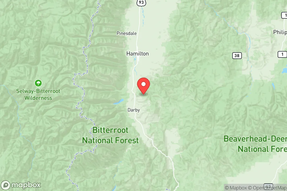
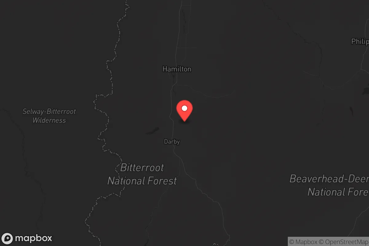
Ravalli County, Montana, offers a strategic relocation option for those prioritizing distance from major population centers and critical infrastructure targets, while maintaining access to essential resources. Nestled in the Bitterroot Valley between the Sapphire and Bitterroot mountain ranges, the county provides natural defensibility and a buffer from the cascading effects of urban collapse. Its location—roughly 150 miles from the nearest major city, Missoula—places it outside the immediate fallout zones of high-value targets, yet within a day’s drive of regional supply chains. For a conservative-leaning audience concerned with civic unrest, mass casualty events, or grid-down scenarios, this area balances isolation with practical self-sufficiency.
Geographic position and natural advantages for strategic relocation
Ravalli County’s geography is its primary asset. The Bitterroot Valley runs north-south, flanked by the Bitterroot Mountains to the west and the Sapphire Mountains to the east, creating a natural funnel that limits ingress and egress. This chokepoint effect—with only two major highways (U.S. 93 and State Route 38) serving the county—makes it easier to monitor movement and defend against unwanted incursions. The valley floor sits at roughly 3,200 to 4,000 feet elevation, offering a moderate climate with four distinct seasons, though winters can be harsh with snowpack above 5,000 feet. Key towns like Hamilton (the county seat, population ~5,000), Stevensville (~2,000), and Darby (~800) provide small population centers without the density that attracts disaster. The Bitterroot River runs the length of the valley, fed by mountain snowmelt, ensuring a reliable water source even during drought. The surrounding national forests—Bitterroot National Forest and the Selway-Bitterroot Wilderness—offer timber, game, and forage, but also require careful management to avoid wildfire risks. For a relocator, this terrain provides both a buffer from external chaos and a foundation for long-term subsistence.
Risks, exposures, and proximity to fallout-relevant landmarks
While Ravalli County is far from the obvious targets—like Malmstrom Air Force Base (home to Minuteman III ICBMs, 250 miles northeast) or the Hanford Site (decommissioned nuclear facility, 300 miles west)—it is not immune to secondary risks. The county’s proximity to Missoula (45 miles north) introduces a vulnerability: in a mass evacuation scenario, U.S. 93 could become a chokepoint for refugees fleeing the city’s 75,000 residents. Missoula itself hosts a major rail hub and the University of Montana, which could become a focal point for unrest. Additionally, the Bitterroot National Forest is a high-risk wildfire zone, with the 2021 Trail Creek Fire burning over 10,000 acres near Darby. A major wildfire could cut off escape routes and strain local resources. There are no refineries, ports, or military bases within Ravalli County, which is a net positive—but the Lost Trail Pass (State Route 93) connects to Idaho’s Salmon River corridor, a potential route for displaced populations from the Pacific Northwest. The county’s low population density (~12 people per square mile) reduces the risk of civil unrest, but the lack of a major hospital (the nearest Level II trauma center is in Missoula) means medical emergencies could be critical in a grid-down scenario. For the prepper, these exposures are manageable with planning—stockpiling medical supplies and establishing a community network are non-negotiable.
Practical resilience for a relocator: food, water, energy, and defensibility
Self-sufficiency in Ravalli County requires upfront investment but is achievable. The valley’s agricultural base—primarily hay, cattle, and small-scale orchards—supports local food production. Hamilton hosts a weekly farmers’ market from May to October, and the Bitterroot Valley has a growing network of homesteaders and permaculture practitioners. Water is abundant: the Bitterroot River and its tributaries (e.g., Skalkaho Creek near Hamilton) provide surface water, but well drilling is common, with depths averaging 100-200 feet. For energy, the county is served by NorthWestern Energy, but grid reliability is moderate—winter storms can cause outages lasting days. Solar potential is good, with 200+ sunny days per year, though snow cover in winter reduces output. Wood heating is standard, with firewood permits available from the Bitterroot National Forest for $5 per cord. Defensibility is strong: the valley’s narrow shape means a small group can monitor the two main roads, and the surrounding mountains offer natural barriers. However, the county’s Sheriff’s Office (based in Hamilton) is understaffed, with roughly 20 deputies for 45,000 residents—meaning community watch and private security are practical. For a relocator, the key is to secure a property with a well, a wood stove, and southern exposure for solar, ideally near a creek for redundancy. Avoid floodplains along the Bitterroot River, which saw major flooding in 2018 and 2022.
Overall, Ravalli County presents a solid strategic picture for those willing to trade urban convenience for resilience. Its isolation from major targets like Malmstrom AFB or the Hanford Site reduces fallout risk, while its natural resources—water, timber, and arable land—support long-term survival. The primary downsides are wildfire exposure and the potential for refugee flow from Missoula, but these can be mitigated with proper planning and community ties. For a conservative-leaning relocator seeking a defensible, self-sufficient base in a deteriorating national landscape, the Bitterroot Valley offers a viable option—provided you arrive with skills, supplies, and a willingness to adapt to mountain living. The county’s small towns, like Corvallis and Florence, offer additional pockets of low-density settlement, but the key is to avoid the U.S. 93 corridor near Missoula. In a worst-case scenario, Ravalli County is a place to hold ground, not to flee from.
* Values derived from national, state, county, city and local statistics and may differ in a specific area. Last updated: 2026-05-28T02:06:04.000Z
Narrative content on this page is AI-generated and may contain mistakes. Verify any details that matter before acting on them.
ReloMaps may earn a commission from affiliate links at no extra cost to you.