
Photo: Wikipedia
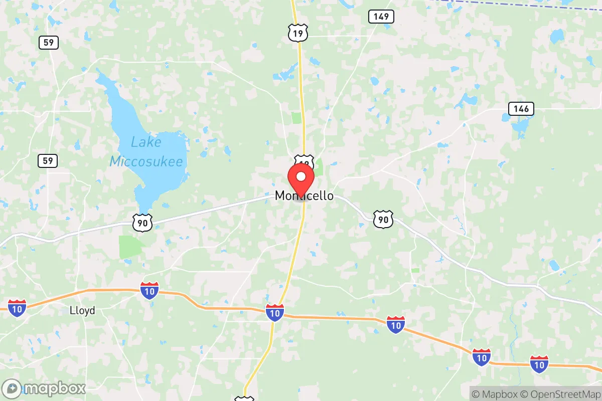
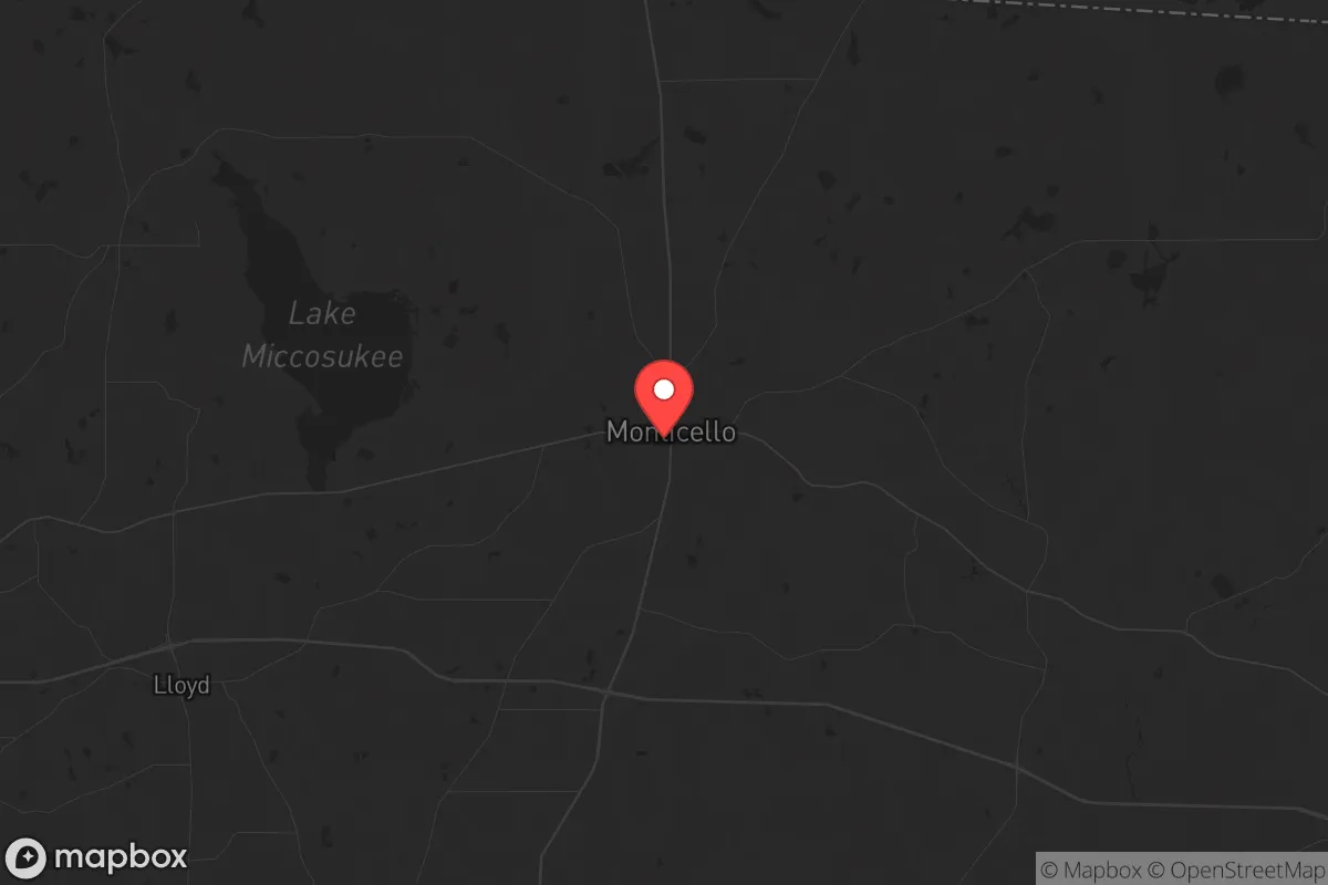
Strategic Assessment of Monticello, FL
Workable tactical position. Some exposure to population density or targets, but generally defensible in a crisis.
What does the Strategic Assessment tell us?
Our Strategic Assessment grades tactical survivability of an area. Major population centers, military targets, fallout zones, natural disasters, and border exposure all drive risk — lower exposure means a more defensible position in a crisis.
This is heavily inspired by Joel Skousen's Strategic Relocation book. Highly recommended you checkout the book ($)What does this tell us?
Our Strategic Assessment grades tactical survivability of an area. Major population centers, military targets, fallout zones, natural disasters, and border exposure all drive risk — lower exposure means a more defensible position in a crisis.
This is heavily inspired by Joel Skousen's Strategic Relocation book. Highly recommended you checkout the book ($)Strategic Pillars

Key Distances
Regional Safe Places
Below is our recommended "safe zones" in Florida and the surrounding area based on our strategic heuristics. For most people, it's unrealistic to live in a “safe zone” full-time due to work, family or other personal reasons. They tend to be more rural. However, many of these areas are perfect for second homes and retreat properties that double as a vacation home or even a short-term rental.

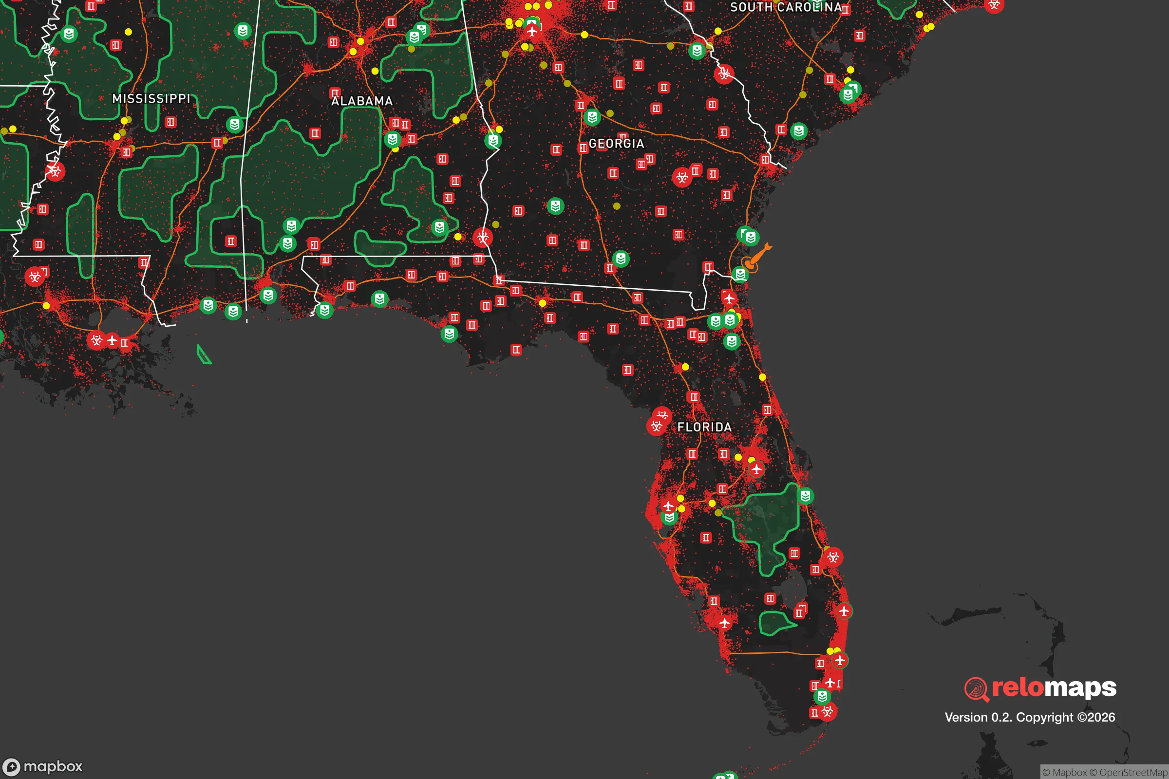
Important Note: For informational purposes only. This does not mean nothing bad ever happens in the green zones. Please use common sense. This is based on public data and modeled with AI. We tried to take a conservative approach but mistakes happen. We update this regularly as new information becomes available.
Solar Generator Recommendations
Backup power matters more here than in safer locations. We've picked three solar generators across budgets and capacity tiers — start with the budget unit if you only need a few essentials, or step up if you want to run a fridge and HVAC for days at a time.

Jackery Portable Power Station Explorer 300
Budget OptionPower on the Go: Weighing only 11 lbs, it's convenient to set up and store with book-sized foldable solar panels

BLUETTI Portable Power Station AC180
Designed for both indoor and outdoor scenarios, AC180 is highly capable as it has a robost capacity and continuous output power.

EF ECOFLOW DELTA Pro Ultra Power Station
Upgraded PickEcoFlow DELTA Pro Ultra is a whole-home energy system designed to grow with your family. Integrated with the Smart Home Panel 2, it scales to meet your evolving energy needs — keeping your home powered, intelligent, and secure through every stage of life.
We earn a commission, at no additional cost to you.
Strategic Assessment Analysis
Monticello, Florida, offers a strategic relocation option for those prioritizing resilience and self-sufficiency, sitting roughly 30 miles east of Tallahassee and 20 miles from the Georgia line. This Jefferson County seat, with a population under 2,500, provides a buffer from major urban centers while maintaining access to critical infrastructure along US-90 and I-10. The area’s low population density—under 30 people per square mile—and its position in Florida’s rural Big Bend region make it a viable base for those concerned with civic unrest, mass casualty events, or large-scale disasters, where proximity to dense populations is a distinct liability.
Geographic position and natural advantages for long-term security
Monticello’s location in the Florida Panhandle places it away from the state’s hurricane-prone coastal zones, roughly 40 miles inland from the Gulf of Mexico. This inland buffer reduces direct storm surge risk while still benefiting from the region’s temperate climate and ample rainfall—averaging 55 inches annually—which supports year-round food production. The area sits on the Southern Red Hills, a region of rolling terrain with well-drained soils suitable for small-scale agriculture, a key advantage for those planning food independence. The Ochlockonee River and Lake Talquin, both within 15 miles, provide reliable freshwater sources, while the surrounding Apalachicola National Forest to the south offers additional foraging and timber resources. For a relocator, this geography means fewer evacuation pressures during hurricane season and a landscape that can sustain off-grid living without the extremes of Florida’s southern peninsula. The proximity to I-10 also allows for east-west movement without being directly tied to a major metro’s gridlock, a practical consideration for supply runs or relocation if conditions deteriorate.
Risks, exposures, and proximity to fallout-relevant landmarks
While Monticello avoids the immediate dangers of a major city, it is not without strategic vulnerabilities. The primary concern is its proximity to Tallahassee, a state capital and regional hub with a population of 200,000, which could become a target for civil unrest or infrastructure failure. A mass casualty event or grid-down scenario in Tallahassee would likely send refugees east along US-90 and I-10, potentially overwhelming Monticello’s limited resources. Additionally, the area lies within 100 miles of the Gulf Coast’s industrial corridor, including Port St. Joe and Panama City, which host chemical plants and fuel storage facilities that could be secondary targets or accident risks. The nearby St. Marks National Wildlife Refuge and the Apalachicola River are ecologically sensitive but also serve as potential choke points for evacuation or supply routes. On the positive side, Monticello is far from major military installations like Eglin Air Force Base (120 miles west) or Naval Submarine Base Kings Bay (150 miles east), reducing the likelihood of direct military-related fallout. The absence of nuclear power plants within a 100-mile radius—the closest is the now-decommissioned Crystal River plant, 200 miles south—further lowers radiation exposure risks. For the prepper, the key takeaway is that Monticello’s isolation is a double-edged sword: it offers safety from initial strikes or riots but requires careful planning for self-reliance, as external aid would be slow to arrive in a widespread crisis.
Practical resilience for a relocator: food, water, energy, and defensibility
Monticello’s practical resilience hinges on its rural character and the ability to establish independent systems. The area’s agricultural heritage is evident in its working farms and timberlands, with local soil suitable for growing staples like corn, beans, and squash, as well as raising poultry and goats. The growing season stretches from March to November, allowing for multiple harvest cycles. Water access is straightforward: the Floridan Aquifer lies at shallow depths, and many properties have existing wells—a critical advantage over urban areas reliant on municipal systems. For energy, the region’s abundant sunshine (over 230 sunny days per year) makes solar panels a viable primary or backup power source, while the surrounding forests provide ample firewood for heating and cooking. Defensibility is a mixed picture: Monticello’s small footprint means a tight-knit community where neighbors are known, but the open terrain and multiple road access points (US-90, SR-59, SR-158) make it difficult to secure against a determined group. The Jefferson County Sheriff’s Office has a small force, and the nearest state police barracks is in Tallahassee, so in a prolonged crisis, residents would largely rely on mutual aid and personal preparedness. The local hospital, Doctors’ Memorial Hospital, is a critical access facility with limited capacity—a fact that underscores the need for medical training and supplies. For a relocator, the practical path involves securing a property with a well, installing solar with battery storage, and building relationships with local farmers and hunters. The Monticello Farmers Market and the Jefferson County Extension Office are starting points for connecting with the existing self-sufficiency network.
Overall, Monticello presents a balanced strategic picture for the conservative-minded relocator focused on resilience. It offers genuine advantages in terms of water, soil, and distance from major targets, but it demands a serious commitment to self-reliance—this is not a place where one can coast on existing infrastructure. The area’s low cost of living (median home price around $180,000) and tax-friendly Florida environment make it accessible, but the trade-off is that you are trading convenience for security. For those willing to invest in off-grid systems and community building, Monticello can serve as a durable base for weathering the disruptions that many see on the horizon. Just keep a close eye on Tallahassee’s direction—if the capital goes sideways, this quiet corner of the Panhandle could become a very different place overnight.
* Values derived from national, state, county, city and local statistics and may differ in a specific area. Last updated: 2026-05-14T17:59:23.000Z
Narrative content on this page is AI-generated and may contain mistakes. Verify any details that matter before acting on them.
ReloMaps may earn a commission from affiliate links at no extra cost to you.