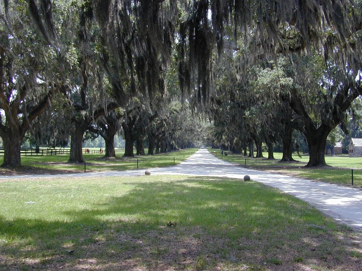
Photo: Wikipedia
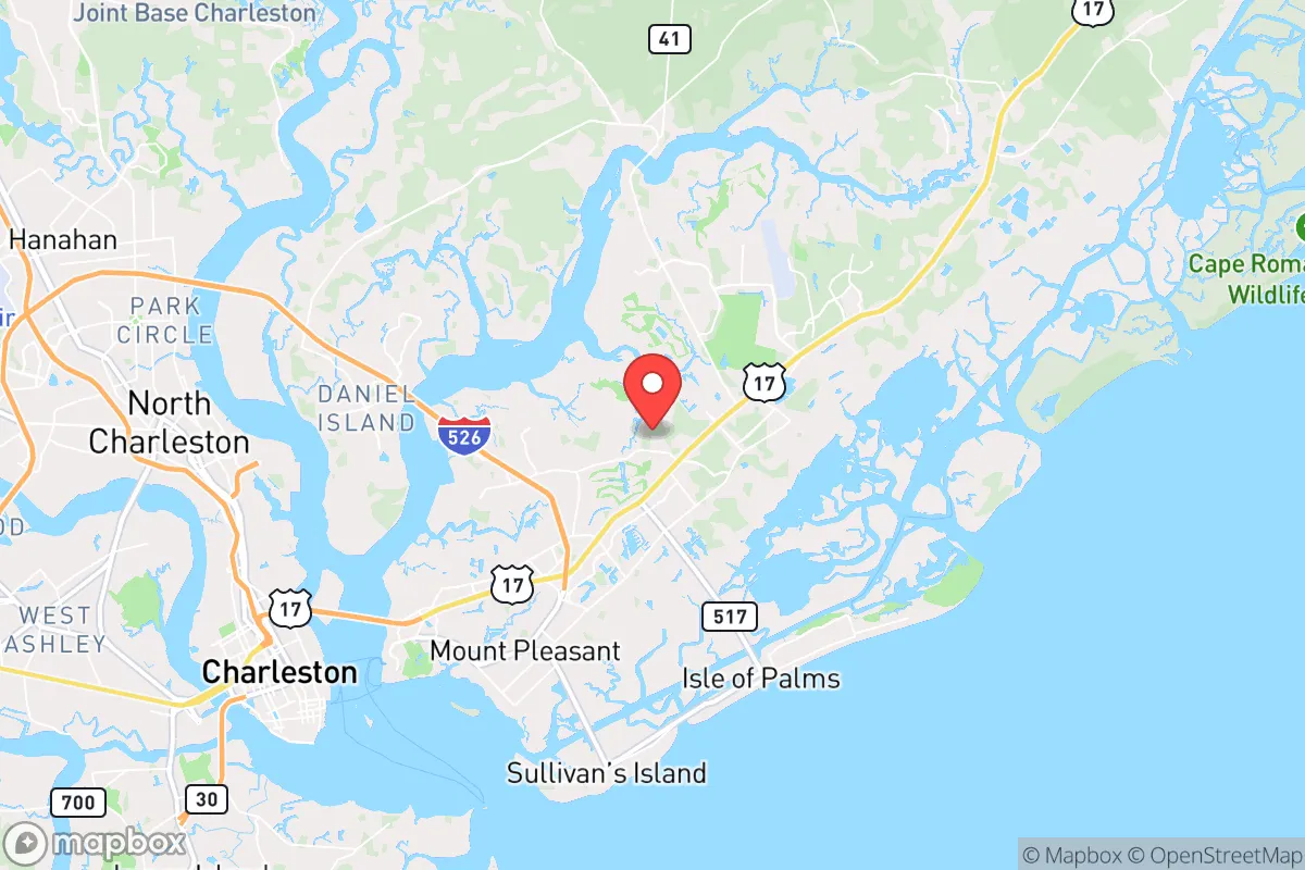
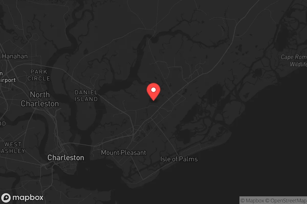
Strategic Assessment of Mount Pleasant, SC
Meaningful friction. Expect exposure to either population pressure, blast zones, or natural disaster risk. Consider buying a retreat property.
What does the Strategic Assessment tell us?
Our Strategic Assessment grades tactical survivability of an area. Major population centers, military targets, fallout zones, natural disasters, and border exposure all drive risk — lower exposure means a more defensible position in a crisis.
This is heavily inspired by Joel Skousen's Strategic Relocation book. Highly recommended you checkout the book ($)What does this tell us?
Our Strategic Assessment grades tactical survivability of an area. Major population centers, military targets, fallout zones, natural disasters, and border exposure all drive risk — lower exposure means a more defensible position in a crisis.
This is heavily inspired by Joel Skousen's Strategic Relocation book. Highly recommended you checkout the book ($)Strategic Pillars

Key Distances
Regional Safe Places
Below is our recommended "safe zones" in South Carolina and the surrounding area based on our strategic heuristics. For most people, it's unrealistic to live in a “safe zone” full-time due to work, family or other personal reasons. They tend to be more rural. However, many of these areas are perfect for second homes and retreat properties that double as a vacation home or even a short-term rental.


Important Note: For informational purposes only. This does not mean nothing bad ever happens in the green zones. Please use common sense. This is based on public data and modeled with AI. We tried to take a conservative approach but mistakes happen. We update this regularly as new information becomes available.
Solar Generator Recommendations
Backup power matters more here than in safer locations. We've picked three solar generators across budgets and capacity tiers — start with the budget unit if you only need a few essentials, or step up if you want to run a fridge and HVAC for days at a time.

Jackery Portable Power Station Explorer 300
Budget OptionPower on the Go: Weighing only 11 lbs, it's convenient to set up and store with book-sized foldable solar panels

BLUETTI Portable Power Station AC180
Designed for both indoor and outdoor scenarios, AC180 is highly capable as it has a robost capacity and continuous output power.

EF ECOFLOW DELTA Pro Ultra Power Station
Upgraded PickEcoFlow DELTA Pro Ultra is a whole-home energy system designed to grow with your family. Integrated with the Smart Home Panel 2, it scales to meet your evolving energy needs — keeping your home powered, intelligent, and secure through every stage of life.
We earn a commission, at no additional cost to you.
Strategic Assessment Analysis
Mount Pleasant, South Carolina, presents a complex strategic picture for the conservative prepper or survivalist. Its immediate advantages—proximity to the Atlantic, robust local economy, and a strong military presence—are counterbalanced by severe vulnerabilities tied to its location near Charleston, a major port and potential high-value target. For a relocator prioritizing long-term security, self-sufficiency, and fallout avoidance, this area demands a clear-eyed assessment of its resilience against both natural and man-made threats.
Geographic position and natural advantages for long-term security
Mount Pleasant sits on a peninsula formed by the Cooper and Wando Rivers, with direct access to Charleston Harbor and the Atlantic Ocean. This position offers a significant strategic advantage: unlimited water access for evacuation or resupply by boat, a critical asset if road networks become compromised. The area's elevation is generally low—averaging 10 to 15 feet above sea level—but the terrain is not uniformly flat; there are modest ridges and higher ground near the Wando River and along the Old Village area that offer slightly better defensibility. The surrounding landscape is a mix of maritime forest, salt marsh, and pine savanna, providing natural cover and resources for hunting, foraging, and timber. The climate is humid subtropical, with a growing season that allows for year-round gardening of staples like sweet potatoes, collards, and okra. However, the same humidity that supports agriculture also accelerates decay and mold, meaning food storage and ammunition preservation require climate-controlled solutions. The area's natural advantages are real but narrow: water access and arable land are strong points, but elevation and defensible terrain are not.
Risks, exposures, and proximity to fallout-relevant landmarks
The most glaring vulnerability is Mount Pleasant's proximity to Charleston, a city of roughly 150,000 that swells with tourists and port traffic. Charleston is home to the Port of Charleston, one of the busiest container ports on the East Coast, and a major hub for military logistics via Joint Base Charleston (which includes Charleston Air Force Base and Naval Weapons Station Charleston). In a scenario involving civil unrest, mass casualty events, or a kinetic conflict, these are high-probability targets for disruption, sabotage, or direct attack. The fallout radius from a conventional strike on the port or the naval weapons station—which stores munitions and ordnance—could easily extend into Mount Pleasant, especially given prevailing winds from the southwest. Additionally, the area is crisscrossed by major highways (I-526, US-17, SC-41) that serve as evacuation routes for the entire Charleston metro area. In a crisis, these roads will become parking lots, trapping residents in a gridlocked exodus. The risk of secondary effects—looting, civil disorder, and resource scarcity—is high because Mount Pleasant is a wealthy suburb with visible assets (homes, boats, vehicles) that would attract desperate populations from the city. The proximity to the coast also means vulnerability to hurricane storm surge; a Category 3 or higher storm could inundate large portions of the town, particularly the low-lying areas near Shem Creek and the Wando River. Mount Pleasant is not a fallout-safe zone; it is a high-exposure suburb of a critical infrastructure hub.
Practical resilience for a relocator: food, water, energy, and defensibility
For a relocator serious about self-sufficiency, Mount Pleasant offers a mixed bag. Water is abundant but not secure. The area draws its municipal water from the Edisto River and the Cooper River, but treatment plants are vulnerable to power loss and contamination. A private well is a viable option in parts of Mount Pleasant, particularly north of Highway 41 and in the more rural areas near the Francis Marion National Forest, but well depth and saltwater intrusion are concerns. Rainwater collection is practical given the 48 inches of annual rainfall, but storage tanks must be elevated to avoid flood contamination. Food production is feasible but limited by space. Most residential lots are a quarter-acre or less, making large-scale gardening difficult. Community gardens exist but are not defensible. Hunting is possible in the Francis Marion National Forest (about 20 minutes north), but game pressure is high and deer populations are managed. Fishing in the rivers and creeks is reliable, but contamination from upstream runoff and industrial activity near Charleston is a concern. Energy resilience is poor by default. The grid is vulnerable to hurricanes and cyber attacks, and solar adoption is growing but not yet widespread. A backup generator with a 500-gallon propane tank is a minimum requirement. Defensibility is the weakest point. Mount Pleasant is a suburban grid of cul-de-sacs and strip malls, with no natural chokepoints or high ground. A determined group could not hold a neighborhood against a larger, organized force. The best defensive strategy is to live on the northern fringe, near the forest, where fewer roads and more cover exist. The local law enforcement presence is strong (Mount Pleasant Police Department is well-funded and professional), but in a prolonged crisis, they will be overwhelmed. Practical resilience here requires significant investment in off-grid infrastructure and a willingness to bug out to the forest or coast if needed.
The overall strategic picture for Mount Pleasant is one of calculated risk. It is not a survivalist paradise, nor is it a death trap. For a conservative relocator who values community, economic opportunity, and coastal access, it offers a viable base—provided you accept that your security plan must account for the Charleston metro area's high target value. The best approach is to treat Mount Pleasant as a forward operating base: live here for the quality of life and economic stability, but maintain a secondary retreat location inland (e.g., the Upstate or the Midlands) with stored supplies and a vehicle capable of reaching it within a few hours. If you are unwilling to maintain that dual-location strategy, or if your risk tolerance for proximity to a major port and military installation is low, then look further inland. But if you can manage the exposure, Mount Pleasant's water access, strong community, and proximity to national forest resources make it a defensible choice for those who prepare accordingly.
* Values derived from national, state, county, city and local statistics and may differ in a specific area. Last updated: 2026-04-29T22:15:30.000Z
Narrative content on this page is AI-generated and may contain mistakes. Verify any details that matter before acting on them.
ReloMaps may earn a commission from affiliate links at no extra cost to you.