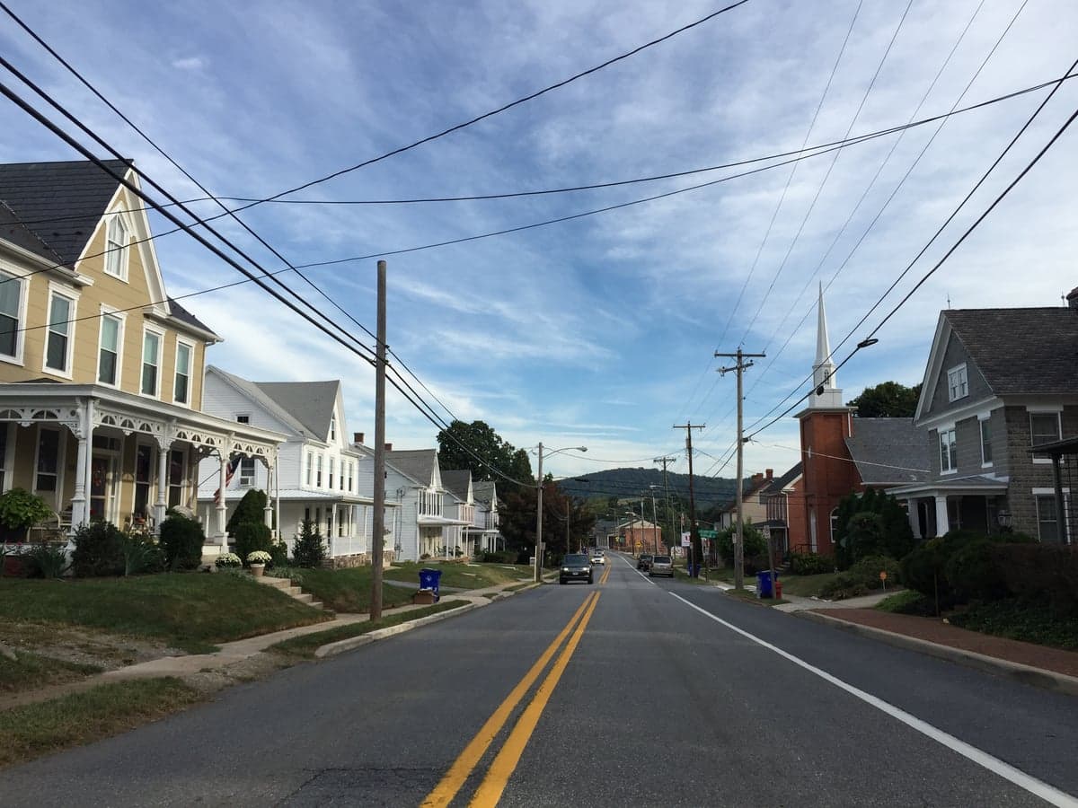
Photo: Wikipedia
Political ClimatePolitical Climate in Myersville, MD
District shown is the primary district for this city’s centroid. Cities may span multiple districts.
Local Political AnalysisPolitical Analysis of Myersville, MD
Myersville is one of those spots in Maryland where the national political labels don't quite tell the whole story. While the state as a whole leans heavily Democratic with a Cook PVI of D+17, Myersville sits in a D+3 district, making it a genuine swing area that has shifted noticeably to the right over the past decade. I've watched this town go from reliably blue to a place where yard signs for both parties are common, and local elections often come down to a few dozen votes. The real story here isn't about a sudden flip—it's about a slow, steady drift that reflects changing demographics and a growing sense among many residents that the state's priorities don't always match what works in a small, rural community like ours.
How it compares
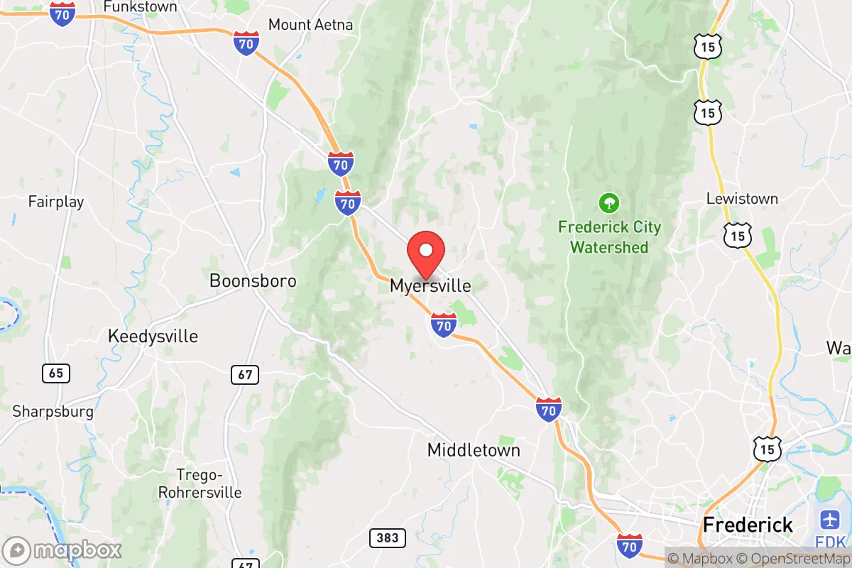
To understand Myersville's politics, you have to look at the surrounding towns. Just a few miles east, Frederick City is a solidly liberal hub with a D+15 lean, driven by its growing tech sector and younger, more diverse population. Drive west toward Hagerstown, and you're in a Republican stronghold that votes R+12 or more. Myersville sits right in the middle of that corridor, and its D+3 rating reflects that tension. In the 2024 presidential election, the precinct here was nearly 50-50, a far cry from the statewide margin where Democrats won by 17 points. What's interesting is how this plays out in local issues: our town council often debates growth and zoning in ways that feel more like a rural Western Maryland town than a suburb of D.C., even though we're only about 70 miles from the Capitol. The state's D+17 lean means that statewide policies—like the recent push for stricter gun laws and higher corporate taxes—pass easily in Annapolis, but they don't always sit well here. You'll hear folks at the Myersville Diner grumble about how "they" in Annapolis don't get "us," but it's not a hostile grumble—more a resigned one.
What this means for residents
For conservative residents, life in Myersville means you're not in a bubble, but you're also not isolated. You can find like-minded neighbors at the volunteer fire company or the local church, and your vote actually matters in a way it doesn't in deep-blue Montgomery County. The downside is that you're constantly fighting an uphill battle on state-level issues like school funding formulas and environmental regulations that favor urban areas. For liberal residents, Myersville offers a chance to live in a beautiful, rural setting without being surrounded by hostility—most folks are polite even if they disagree. But you'll need to drive to Frederick for a farmers market that feels more "crunchy" or a coffee shop where the barista knows your oat milk order. The practical reality is that both sides have learned to coexist. The town's annual Halloween parade isn't a political battleground; it's just neighbors handing out candy. That said, the trajectory is clear: as more people move here from the D.C. suburbs seeking cheaper land, the town is slowly becoming more purple, with younger families often leaning left while long-timers hold the right flank.
One cultural distinction that really sets Myersville apart is its relationship with land use and development. Unlike much of Maryland, where dense, transit-oriented development is the state's official goal, Myersville has fiercely protected its rural character. The town's zoning laws keep lot sizes large, and there's a palpable resistance to the kind of strip-mall sprawl you see along Route 40. This isn't a partisan issue—both conservative property-rights advocates and liberal environmentalists have found common ground in opposing big developments. It's a reminder that in a place like Myersville, the political climate is less about red vs. blue and more about a shared sense of place. If you're moving here, expect to hear a lot of talk about "preserving what we've got," and don't be surprised if your new neighbor—whether they voted for Trump or Biden—offers to help you split firewood before the first frost.

State Political ClimatePolitical Climate in Maryland
State Political AnalysisPolitical Environment in the State
Maryland is a deeply blue state with a Cook PVI of D+17, meaning it votes about 17 points more Democratic than the national average in presidential elections. That’s not just a lean—it’s one of the most reliably Democratic states in the country, and it’s been trending that way for decades. The dominant coalition is built around the Baltimore-Washington corridor, where dense, diverse, and highly educated populations drive Democratic margins. Over the last 20 years, the state has shifted from a competitive purple state (think 2000, when Gore won by just 3 points) to a solid blue stronghold, with Republicans now largely confined to the rural eastern shore and western panhandle. For a conservative relocator, this means you’ll be living in a state where Democratic policies dominate at the state level, but local pockets of red do exist.
Urban vs. rural divide
The political map of Maryland is a textbook case of urban-rural polarization. The Democratic stronghold is the I-95 corridor from Washington, D.C., up through Baltimore. Montgomery County (suburban D.C.) and Prince George’s County are the engine rooms of the state’s blue vote, delivering massive margins—often 80%+ Democratic. Baltimore City is similarly deep blue, though its population has shrunk, reducing its statewide clout. The suburbs of Anne Arundel County (Annapolis) and Howard County (Columbia) are also reliably Democratic, though with more moderate tendencies. In contrast, the rural areas are deeply red: Garrett County in the far west (Appalachian coal country) and the entire Eastern Shore—places like Queen Anne’s County and Worcester County (Ocean City)—vote 60-70% Republican. The swing counties are few: Frederick County (northwest of D.C.) has trended blue in recent cycles, while Harford County (northeast of Baltimore) remains a red-leaning suburban holdout. The divide isn’t just political—it’s cultural and economic, with the urban core tied to federal jobs and tech, and the rural areas dependent on agriculture, tourism, and small business.
Policy environment
Maryland’s policy environment is consistently progressive, with a high-tax, high-service model. The state has a progressive income tax (top rate 5.75% on income over $250k) and a 6% sales tax, plus some of the highest property taxes in the country, especially in the D.C. suburbs. Regulation is heavy—Maryland has strict environmental laws (e.g., the Clean Energy Jobs Act targeting 100% clean electricity by 2040), strong labor protections (minimum wage $15/hour, rising with inflation), and a robust public school system that ranks among the top 10 nationally. Education policy is centralized in Annapolis, with the Blueprint for Maryland’s Future law pouring billions into K-12, but also expanding pre-K and teacher pay. Healthcare is heavily regulated, with a state-run insurance exchange and Medicaid expansion under the ACA. Election laws are among the most accessible in the country: same-day voter registration, no-excuse mail-in voting, and early voting. For a conservative, this means higher taxes and more government involvement in daily life, but also high-quality public services and infrastructure.
Recent policy direction
The last five years have seen Maryland double down on progressive priorities. Gun and self-defense law: In 2023, the General Assembly passed the Gun Safety Act, banning firearms in most public places (including hospitals, parks, and transit) and requiring a permit to carry—a direct response to the Supreme Court’s Bruen decision. This is one of the strictest gun laws in the nation. Parental and education rights: The state has expanded LGBTQ+ inclusive curriculum and gender identity protections in schools, with no opt-out for parents—a flashpoint for conservative families. Speech and privacy: Maryland passed the Online Data Privacy Act in 2024, giving residents control over how companies use their data, but it also expanded hate crime statutes to cover online harassment. Medical and bodily autonomy: Abortion is fully legal and protected under state law (the Abortion Care Access Act of 2022), and the state has a shield law protecting providers who treat out-of-state patients. Property rights: The state has strong eminent domain protections, but zoning laws in the D.C. suburbs are notoriously restrictive, driving up housing costs. Taxation: In 2024, the state passed a modest tax cut for middle-income earners, but overall the trend is toward higher taxes on the wealthy to fund social programs. Voting and ballot access: The state has made mail-in voting permanent and automatic voter registration at the DMV, making it very easy to vote—but also raising concerns among conservatives about ballot security.
Civil unrest & political movements
Maryland has a history of visible political activism, particularly around racial justice and police reform. The 2015 Baltimore protests after the death of Freddie Gray were a national flashpoint, leading to a consent decree with the DOJ and ongoing debates about policing. More recently, the state has seen organized movements on both sides: progressive groups like the Maryland Working Families Party push for rent control and single-payer healthcare, while conservative groups like the Maryland Republican Party and local “parents’ rights” organizations have mobilized around school curriculum and transgender policies. Immigration politics are a major fault line: Maryland is a sanctuary state (since 2019), meaning local law enforcement does not cooperate with ICE detainers. This is a plus for progressive relocators but a red flag for conservatives. Election integrity has been a low-grade controversy, with Republican candidates in 2022 and 2024 alleging irregularities in mail-in voting, though no major fraud has been proven. The most visible flashpoint for a new resident would be the stark contrast between the liberal D.C. suburbs and the conservative Eastern Shore—you’ll see “Trump 2024” signs in rural areas and “Black Lives Matter” banners in urban ones, often within a 30-minute drive.
Projection
Over the next 5-10 years, Maryland is likely to become even more Democratic, driven by continued in-migration of highly educated, liberal-leaning professionals to the D.C. suburbs and the growth of the tech sector in places like Frederick and Columbia. The rural population is stagnant or shrinking, meaning the red counties will lose political influence. The state’s tax burden will likely remain high, and progressive policies on guns, abortion, and education will be further entrenched. For a conservative relocator, the realistic expectation is that you will be a political minority in a state that is increasingly hostile to your views on key issues. However, the state’s strong economy (top 5 in median household income), excellent schools, and proximity to D.C. and Baltimore mean that many conservatives choose to live here for practical reasons, often settling in red-leaning suburbs like Bel Air (Harford County) or Hagerstown (Washington County) where they can find like-minded communities.
Bottom line: If you’re a conservative moving to Maryland, you’re moving to a blue state with all that entails—higher taxes, strict gun laws, and progressive social policies. But you’ll also find high-quality public services, a strong job market, and real communities where your values are shared, especially in the rural and exurban areas. The key is to choose your location carefully: the Eastern Shore or western Maryland will feel much more like a red state, while the D.C. suburbs will feel like a progressive enclave. Know what you’re signing up for, and you can make it work.
* Values derived from national, state, county, city and local statistics and may differ in a specific area. Last updated: 2026-08-26T18:54:43.000Z
Narrative content on this page is AI-generated and may contain mistakes. Verify any details that matter before acting on them.
ReloMaps may earn a commission from affiliate links at no extra cost to you.

