Photo: Wikipedia
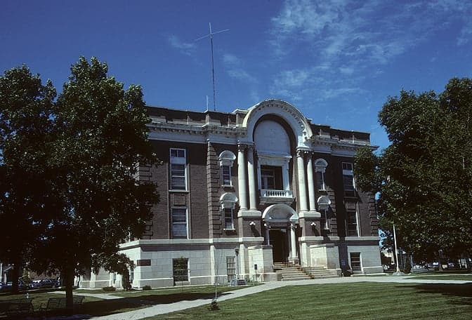
Strategic Assessment of Phelps County
Strong survivability profile. Good buffer from population centers, with manageable environmental and tactical risks.
What does the Strategic Assessment tell us?
Our Strategic Assessment grades tactical survivability of an area. Major population centers, military targets, fallout zones, natural disasters, and border exposure all drive risk — lower exposure means a more defensible position in a crisis.
This is heavily inspired by Joel Skousen's Strategic Relocation book. Highly recommended you checkout the book ($)What does this tell us?
Our Strategic Assessment grades tactical survivability of an area. Major population centers, military targets, fallout zones, natural disasters, and border exposure all drive risk — lower exposure means a more defensible position in a crisis.
This is heavily inspired by Joel Skousen's Strategic Relocation book. Highly recommended you checkout the book ($)Strategic Pillars

Key Distances
Strategic Assessment Analysis
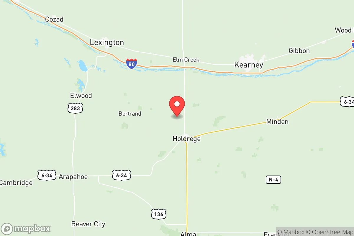
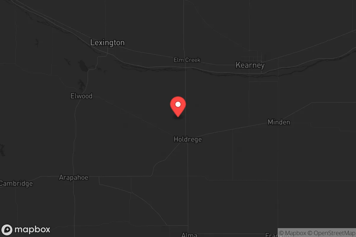
Phelps County, Nebraska, sits in a sweet spot that few relocators fully appreciate: far enough from major population centers to dodge the worst of any cascading crisis, yet close enough to essential infrastructure to make daily life workable. The county seat, Holdrege, anchors a region where the Platte River Valley provides both agricultural productivity and a natural corridor for movement, while the surrounding landscape offers the kind of open terrain that makes observation and defense straightforward. For someone thinking in terms of long-term stability—whether from economic collapse, civil unrest, or larger-scale disruptions—this area checks boxes that coastal or metro-adjacent counties simply cannot.
Geographic position and natural advantages for long-term stability
Phelps County’s location in south-central Nebraska places it roughly 150 miles from Omaha and Lincoln, and about 200 miles from Denver—close enough for supply runs or medical evacuation in normal times, but far enough that a riot or supply-chain breakdown in those cities won’t spill over. The Platte River runs through the northern part of the county, providing a reliable surface water source that doesn’t depend on municipal treatment plants staying online. The terrain is mostly flat to gently rolling farmland, which means line-of-sight for security is excellent, and the lack of dense tree cover reduces ambush risk. Holdrege itself sits at the intersection of U.S. Highway 183 and U.S. Highway 34, giving residents two solid east-west and north-south evacuation or resupply routes that don’t funnel through a single choke point. The county also sits atop the Ogallala Aquifer, one of the largest freshwater reserves in the country, which means groundwater access is viable even if surface supplies are compromised. For a relocator prioritizing water security, that’s a hard advantage to beat.
Risks, exposures, and proximity to fallout-relevant landmarks
No location is risk-free, and Phelps County has its share of exposures that a strategic relocator needs to weigh. The most obvious is the Kearney Regional Airport about 30 miles to the north—not a major hub, but a potential target for any adversary looking to disrupt regional air mobility. More concerning is the Union Pacific rail line that runs through Holdrege, carrying freight that could include hazardous materials; a derailment or intentional strike on that line could create localized contamination or block evacuation routes. The county is also within 100 miles of the Fort Kearney Army Reserve complex near Kearney, which, while not a major active-duty base, could become a staging area during mobilization and draw unwanted attention. On the natural disaster front, tornado risk is real—Nebraska sits in Tornado Alley, and Phelps County has seen F2 and F3 events historically. Flooding along the Platte River is a periodic concern, particularly in the northern townships. There are no nuclear power plants, major refineries, or large military depots within 50 miles, which is a significant positive for anyone worried about fallout or targeted strikes. The nearest large-scale industrial target would be the ethanol plants in central Nebraska, but those are dispersed and unlikely to be primary targets in a conflict scenario.
Practical resilience for a relocator: food, water, energy, and defensibility
For someone serious about self-sufficiency, Phelps County offers a foundation that’s hard to replicate in more populated regions. The county is one of Nebraska’s top corn and soybean producers, meaning local food supply is abundant even if national distribution networks fail. Holdrege has a well-established farmers’ market and multiple grain elevators, so bulk purchasing for long-term storage is straightforward. Water access is the standout feature: the Ogallala Aquifer provides deep, reliable groundwater, and many rural properties already have private wells. For energy, the county is served by Nebraska Public Power District, which has a diversified grid mix including hydro, wind, and natural gas, but a relocator should plan for solar-plus-battery backup given the grid’s vulnerability to weather events. Defensibility is mixed: the open farmland offers good visibility but limited cover, so a rural property with a defensible perimeter—think a farmstead with outbuildings and a clear field of fire—is preferable to a subdivision lot. The county’s population density is about 10 people per square mile, which means neighbors are few and far between, reducing the risk of social friction during a crisis. Holdrege’s local hospital, Phelps Memorial Health Center, is a critical asset for medical emergencies, but it’s a small facility—any major trauma or chronic condition requiring specialist care will mean a 45-minute drive to Kearney or a two-hour haul to Lincoln.
Overall, Phelps County presents a compelling strategic picture for the relocator who values distance from chaos without sacrificing access to the basics. It’s not a fortress—no place in the lower 48 is—but it offers a combination of water security, agricultural self-sufficiency, and low population density that makes it a strong candidate for a long-term base of operations. The trade-offs are real: you’ll trade convenience for security, and you’ll need to invest in your own power and water infrastructure to truly be resilient. But for someone looking at the bigger picture—the fragility of supply chains, the volatility of urban centers, the risk of cascading failures—this county offers a solid foundation. If you’re serious about being prepared, Phelps County deserves a hard look.
* Values derived from national, state, county, city and local statistics and may differ in a specific area. Last updated: 2026-05-08T16:10:36.000Z
Narrative content on this page is AI-generated and may contain mistakes. Verify any details that matter before acting on them.
ReloMaps may earn a commission from affiliate links at no extra cost to you.