Photo: Wikipedia
Strategic Assessment of Elko County
Strong survivability profile. Good buffer from population centers, with manageable environmental and tactical risks.
What does the Strategic Assessment tell us?
Our Strategic Assessment grades tactical survivability of an area. Major population centers, military targets, fallout zones, natural disasters, and border exposure all drive risk — lower exposure means a more defensible position in a crisis.
This is heavily inspired by Joel Skousen's Strategic Relocation book. Highly recommended you checkout the book ($)What does this tell us?
Our Strategic Assessment grades tactical survivability of an area. Major population centers, military targets, fallout zones, natural disasters, and border exposure all drive risk — lower exposure means a more defensible position in a crisis.
This is heavily inspired by Joel Skousen's Strategic Relocation book. Highly recommended you checkout the book ($)Strategic Pillars

Key Distances
Strategic Assessment Analysis
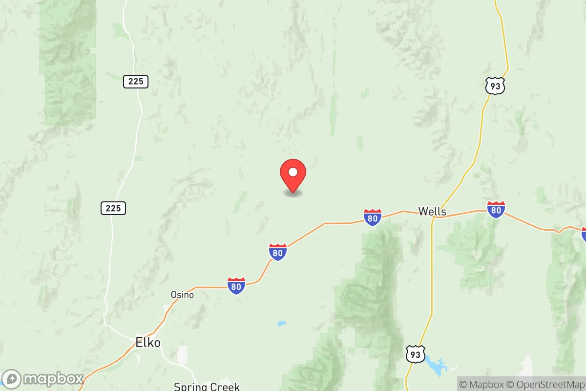
Elko County, Nevada, offers a strategic relocation option for those prioritizing resilience and distance from major population centers, sitting over 230 miles from Salt Lake City and 290 miles from Reno. Its location along Interstate 80 provides a critical east-west corridor for supply movement, while the surrounding Humboldt-Toiyabe National Forest and vast rangeland create a natural buffer against the cascading effects of urban unrest or infrastructure collapse. For a conservative-leaning individual or family seeking a defensible position with access to resources, Elko County presents a compelling mix of isolation, economic self-sufficiency, and community cohesion that is increasingly rare in the modern United States.
Geographic position and natural advantages for long-term survival
Elko County’s geography is its primary strategic asset. The county spans over 17,000 square miles—larger than several states—with a population density of roughly 3 people per square mile. This low density means that even a significant regional crisis would have minimal direct impact on most residents. The Ruby Mountains, Jarbidge Mountains, and the Humboldt River system provide reliable water sources, critical for independent food production and livestock. The Humboldt River, which runs through the county seat of Elko, is the longest river in the Great Basin and offers a perennial water supply that many western counties lack. The surrounding high desert and mountain terrain create natural chokepoints for any potential movement, making the area inherently defensible. For those concerned with fallout from distant events—whether nuclear, biological, or economic—the prevailing westerly winds and distance from major targets mean that airborne contaminants would be significantly diluted before reaching Elko County. The county’s elevation, ranging from 4,000 to over 11,000 feet, also provides a cooler climate that reduces heat-related risks and supports a longer growing season for cold-hardy crops like potatoes, kale, and root vegetables.
Risks, exposures, and proximity to fallout-relevant landmarks
While Elko County is far from the obvious targets of the West Coast or the Wasatch Front, it is not without strategic vulnerabilities. The county sits within 150 miles of the Nevada National Security Site (formerly the Nevada Test Site) near Mercury, NV, where historical nuclear testing occurred and where some low-level waste storage continues. However, the prevailing winds blow eastward, and the distance means that any accidental release would likely be diluted before reaching Elko. More immediate concerns include the county’s reliance on Interstate 80 for resupply—a single highway that could become a chokepoint during a crisis. The nearby city of Wendover, on the Utah border, hosts a major Air Force training range, which could become a target in a conflict scenario. Additionally, the county’s mining industry—centered on gold and copper at operations like the Newmont Goldcorp’s Carlin Trend—creates a concentration of industrial infrastructure that could attract attention or become a liability if operations halt. The county’s proximity to the Utah Test and Training Range and the Tooele Army Depot (about 200 miles east) means that military logistics corridors run through the region, potentially drawing secondary effects from a major conflict. For the prepper, these risks are manageable with proper planning—maintaining multiple supply routes via secondary roads like US-93 and State Route 225, and establishing a home base away from the I-80 corridor itself.
Practical resilience for a relocator: food, water, energy, and defensibility
Elko County offers strong practical resilience for those willing to invest in self-sufficiency. Water is the most critical resource, and the Humboldt River basin provides a reliable surface water source, though rights are heavily allocated. Many rural properties rely on wells, with groundwater depths averaging 100-300 feet in the valley floors—a manageable depth for a hand pump or solar-powered system. The county’s agricultural heritage means that local knowledge of irrigation, livestock management, and food preservation is readily available through the University of Nevada Cooperative Extension and local ranchers. For energy, the area’s abundant sunshine (over 300 sunny days per year) makes solar a viable primary source, while the region’s geothermal potential—with hot springs near Elko and Wells—offers a backup heat source. The county’s low crime rate (consistently below the national average for violent crime) and strong community ties mean that mutual aid networks are more likely to form than in urban areas. Defensibility is enhanced by the terrain: the Ruby Mountains create a natural barrier to the east, while the Independence Mountains and Tuscarora Range provide cover to the north. For a family, the Elko School District offers a K-12 system that, while not elite, is functional and community-oriented, with smaller class sizes than urban counterparts. The presence of Great Basin College in Elko provides vocational training in trades like welding, diesel mechanics, and agriculture—skills that become invaluable in a post-collapse scenario.
Overall, Elko County represents a solid B+ strategic option for the conservative prepper. It lacks the immediate water abundance of the Pacific Northwest or the agricultural output of the Midwest, but its isolation, low population density, and existing infrastructure for mining and ranching create a foundation that can be built upon. The key trade-off is distance from major medical facilities and supply chains—the nearest Level 1 trauma center is in Salt Lake City, over three hours away. For a single individual or family willing to invest in stockpiling, alternative energy, and community integration, Elko County offers a realistic path to long-term resilience without the extreme isolation of Alaska or the high costs of the Intermountain West. The county’s political culture—overwhelmingly conservative, with a strong Second Amendment presence and a “live and let live” ethos—aligns well with the values of those seeking to opt out of the chaos of coastal cities. In a world where the unthinkable becomes increasingly plausible, Elko County is a place where you can still breathe, grow food, and stand your ground.
* Values derived from national, state, county, city and local statistics and may differ in a specific area. Last updated: 2026-05-12T09:34:01.000Z
Narrative content on this page is AI-generated and may contain mistakes. Verify any details that matter before acting on them.
ReloMaps may earn a commission from affiliate links at no extra cost to you.