
Photo: Wikipedia
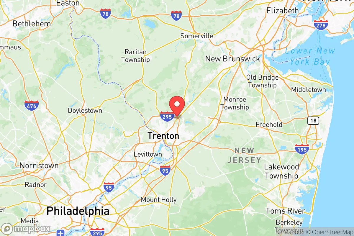
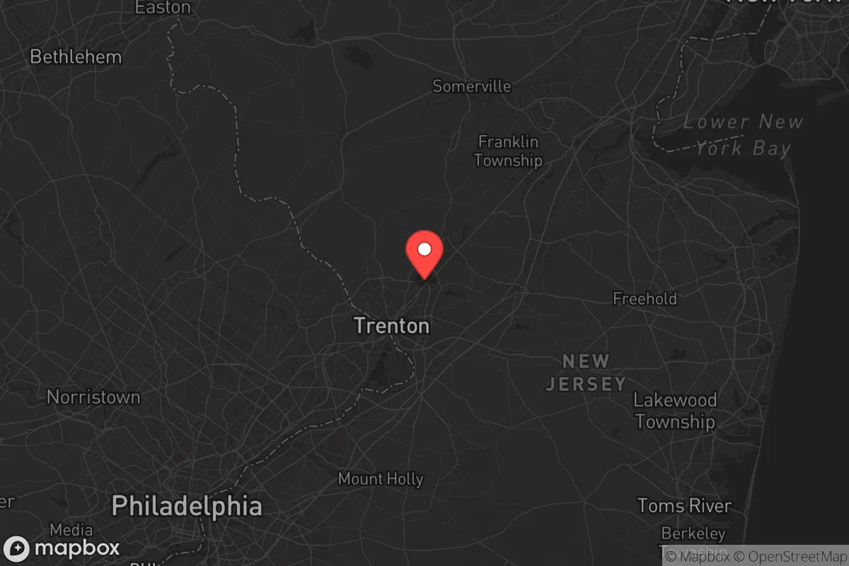
Strategic Assessment of Mercer County
Multiple tactical vulnerabilities. Population density, target proximity, or disaster risk are likely compounding. A retreat property and exit planning is required.
What does the Strategic Assessment tell us?
Our Strategic Assessment grades tactical survivability of an area. Major population centers, military targets, fallout zones, natural disasters, and border exposure all drive risk — lower exposure means a more defensible position in a crisis.
This is heavily inspired by Joel Skousen's Strategic Relocation book. Highly recommended you checkout the book ($)What does this tell us?
Our Strategic Assessment grades tactical survivability of an area. Major population centers, military targets, fallout zones, natural disasters, and border exposure all drive risk — lower exposure means a more defensible position in a crisis.
This is heavily inspired by Joel Skousen's Strategic Relocation book. Highly recommended you checkout the book ($)Strategic Pillars

Key Distances
Strategic Assessment Analysis
Mercer County, New Jersey, occupies a precarious but not hopeless position in any strategic relocation calculus. Sitting at the crossroads of the Northeast Corridor—with Trenton as the state capital and Princeton as an intellectual anchor—the county offers immediate access to major highways, rail, and the Delaware River. Yet for a conservative-minded relocator looking to insulate against civic unrest, supply chain shocks, or mass casualty events, the same assets that make it economically vibrant also place it squarely in a high-risk zone. The county’s resilience depends heavily on which quadrant you choose and how deep your preps run.
Geographic position and natural advantages for a strategic relocation
Mercer County straddles the fall line between the Piedmont and the coastal plain, giving it varied terrain that includes rolling hills, forested ridges, and river valleys. The Delaware River forms the entire western border, providing a reliable surface water source and a natural barrier against approach from Pennsylvania—though it also concentrates transportation and industrial infrastructure along its banks. The Sourland Mountains, which extend into the western part of the county (near Hopewell and Pennington), offer higher ground, dense woodlands, and a degree of seclusion absent from the more developed eastern townships. Farmland remains active in the Hopewell Valley and around Robbinsville, supporting local food production. The climate is temperate, with four distinct seasons and no hurricane storm surge risk, though Nor’easters can bring heavy snow and power outages. Groundwater is generally abundant in the western half, where well depths are manageable and contamination risk is lower than in the industrialized corridor along Route 1 and the river. For a relocator willing to trade company for security, the rural pockets of Mercer County—places like Titusville, Harbourton, and the area around Mercer County Park—provide defensible terrain with adequate tree cover and limited road access points.
Risks and exposures: proximity to population centers and fallout-relevant landmarks
The county’s central location on the I-95 corridor is its greatest vulnerability. New York City is roughly 50 miles northeast; Philadelphia is about 35 miles southwest. In a mass evacuation or civil unrest scenario, those highways and rail lines (Amtrak’s Northeast Corridor, NJ Transit) become chokepoints and targets. Trenton itself hosts the New Jersey State Capitol complex, which could be a focal point for large-scale demonstrations or secondary attacks. The Trenton Train Station and the Trenton-Mercer Airport (a joint civil-military field) are potential nodes for transportation disruption. Across the Delaware in Pennsylvania is the Philadelphia Energy Solutions refinery complex, an obvious industrial target, and the Pulaski Skyway and other bridge approaches funnel traffic directly through the county. Joint Base McGuire-Dix-Lakehurst, a major military installation covering the southern edge of Mercer County, is a high-value conventional target that also concentrates electromagnetic and EMP hardening, but its presence means the area is a known priority for federal response—and for adversaries. Chemical storage along the Delaware and at the Trenton waterfront poses a plume risk for downwind towns like Ewing and Lawrence. The power grid is heavily dependent on above-ground transmission lines that follow the major highway corridors. A coordinated grid attack would leave much of Mercer County dark for an extended period, with storm-induced outages already frequent in the wooded western townships.
Practical resilience for a relocator: food, water, energy, and defensibility
Food resilience in Mercer County is mixed. The western half still supports working farms (dairy, produce, poultry) and the Hopewell Farmers’ Market operates seasonally, but year-round self-sufficiency would require substantial personal growing space. Most residential lots in suburbs like Hamilton and Ewing are too small for meaningful production. The Robbinsville area has newer subdivisions with HOAs that may restrict gardening. Water is more promising: many older farmhouses and rural properties in Hopewell and Pennington have wells, and the shallow aquifer in the Sourlands is reliable. Surface water from the Delaware is accessible but requires purification and is vulnerable to upstream contamination. Energy-wise, solar adoption is growing but still lags behind states like Texas; net metering is available, but grid-tied systems have limited value during blackouts unless paired with battery storage. Wood heat is viable in the forested western townships, where firewood is abundant. Defensibility is the weakest link. The county is laced with major highways (I-95, I-295, Route 1, Route 206) that make it easy for transient populations to move through. The Delaware River bridges at Trenton, Yardley, and Lambertville are natural chokepoints that could be controlled by state police or military, but they are also attack vectors. Suburban neighborhoods with single-entry roads offer some tactical advantage, but the overall population density (about 1,200 people per square mile in the county) means that even the rural areas are within a 15-minute drive of thousands of people. A true retreat in Mercer County would require a property with significant acreage, a sealed perimeter, and a buffer zone—hard to find at reasonable prices.
Overall, Mercer County presents a classic dilemma for the strategic relocator. The natural assets—water, woodlands, local farms, and moderate climate—are real, especially in the far-western end near Hopewell, Pennington, and the Sourlands. But the liabilities of being sandwiched between the two largest cities on the Eastern Seaboard, plus hosting a state capital and a major joint base, cannot be ignored. For a single individual or family at the outset of prepping, this might serve as a mid-term staging area: close enough to urban jobs to fund the build-out, yet close enough to rural options in western New Jersey or eastern Pennsylvania if conditions deteriorate. For a final resettlement choice, however, the risk profile is too high. The only scenario where Mercer County works long-term is if you secure a deep, off-grid property in the Sourland region and cultivate a strong local network of like-minded neighbors—and even then, you are betting that the larger chaos stays on the interstate. Most conservative relocators would be better served looking at western Pennsylvania or the Virginia Piedmont for comparable terrain with far fewer targets.
* Values derived from national, state, county, city and local statistics and may differ in a specific area. Last updated: 2026-06-03T06:46:55.000Z
Narrative content on this page is AI-generated and may contain mistakes. Verify any details that matter before acting on them.
ReloMaps may earn a commission from affiliate links at no extra cost to you.