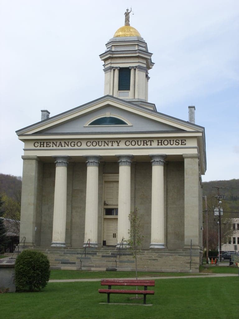
Photo: Wikipedia
Strategic Assessment of Chenango County
Meaningful friction. Expect exposure to either population pressure, blast zones, or natural disaster risk. Consider buying a retreat property.
What does the Strategic Assessment tell us?
Our Strategic Assessment grades tactical survivability of an area. Major population centers, military targets, fallout zones, natural disasters, and border exposure all drive risk — lower exposure means a more defensible position in a crisis.
This is heavily inspired by Joel Skousen's Strategic Relocation book. Highly recommended you checkout the book ($)What does this tell us?
Our Strategic Assessment grades tactical survivability of an area. Major population centers, military targets, fallout zones, natural disasters, and border exposure all drive risk — lower exposure means a more defensible position in a crisis.
This is heavily inspired by Joel Skousen's Strategic Relocation book. Highly recommended you checkout the book ($)Strategic Pillars

Key Distances
Strategic Assessment Analysis
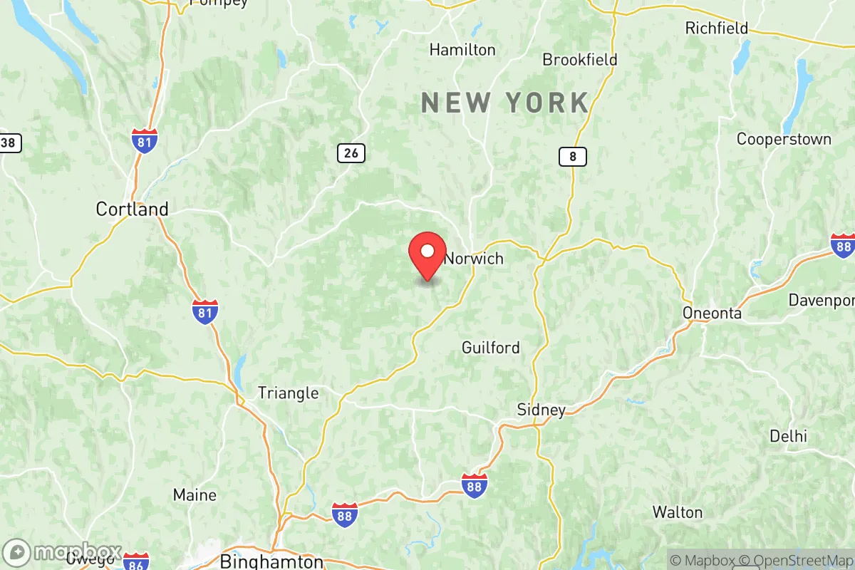
Chenango County, New York, offers a compelling strategic profile for relocators prioritizing resilience and self-sufficiency, blending rural isolation with practical access to regional resources. Located in the Southern Tier, roughly equidistant from Binghamton (30 miles south), Syracuse (50 miles north), and Utica (40 miles east), the county provides a buffer from major metropolitan fallout zones while remaining within a two-hour drive of critical infrastructure. Its population of roughly 47,000 across 894 square miles ensures low density, with the county seat of Norwich serving as the primary hub for commerce and services. For a conservative-leaning audience assessing long-term preparedness, Chenango County’s combination of agricultural capacity, water abundance, and distance from high-value targets makes it a noteworthy candidate for relocation.
Geographic position and natural advantages for long-term security
Chenango County sits in the glaciated Appalachian Plateau, characterized by rolling hills, river valleys, and extensive forest cover—roughly 60% of the land is wooded. The Chenango River, a tributary of the Susquehanna, runs north-south through the county, providing a reliable surface water source and fertile floodplains for agriculture. The county’s elevation (averaging 1,000–1,500 feet) and inland position shield it from coastal storm surges and hurricane impacts, while its distance from major fault lines minimizes earthquake risk. Key towns like Norwich, Oxford, and Greene are nestled in valleys that offer natural defensibility—approaches are limited by terrain, and the surrounding hills provide vantage points. The area’s agricultural base is substantial: Chenango County ranks among New York’s top dairy producers, with over 200 farms, and the Chenango County Fairgrounds in Norwich serve as a central gathering point for local food distribution and emergency coordination. This geography supports a self-reliant lifestyle, with ample space for private gardens, small livestock, and off-grid energy systems (solar and small-scale hydro are viable in many areas).
Risks, exposures, and proximity to fallout-relevant landmarks
While Chenango County avoids the highest-risk zones, it is not immune to threats. The primary man-made risk stems from its location within 100 miles of several critical infrastructure sites. The Nine Mile Point Nuclear Generating Station (near Oswego, ~90 miles northwest) and the Ginna Nuclear Power Plant (near Rochester, ~100 miles west) are within the NRC’s emergency planning zone for radiological release scenarios, though prevailing winds typically carry fallout eastward, away from the county. More immediate is the proximity to the New York State Thruway (I-90) corridor, a major east-west transportation artery that could become a target or chokepoint during a crisis. The county also lies roughly 120 miles from the New York City metro area—a primary fallout target—but its distance and the intervening Catskill Mountains provide significant attenuation. Natural risks include flash flooding in the Chenango River valley during heavy rain events (notably in Sherburne and Norwich), and occasional severe winter storms that can isolate rural roads for days. The county’s lack of major industrial facilities or military bases (the nearest is Fort Drum, ~120 miles north) reduces its attractiveness as a secondary target, but relocators should note that the Griffiss Air Force Base (former, now a business park) in Rome, NY, ~50 miles north, remains a potential re-use site for federal operations. Overall, Chenango County’s risk profile is moderate—lower than suburban or urban areas, but requiring awareness of regional nuclear and transportation threats.
Practical resilience for a relocator: food, water, energy, and defensibility
For a relocator focused on self-sufficiency, Chenango County offers strong fundamentals. Water abundance is a key advantage: the Chenango River and its tributaries (including the Tloughnioga River near Greene) provide year-round flow, and groundwater is accessible via wells in most areas (average depth 50–150 feet). The county’s agricultural surplus means local food production is robust—farmers’ markets operate in Norwich, Oxford, and Bainbridge, and the Chenango County Farm Bureau supports cooperative buying and seed-sharing networks. For energy, the region’s moderate solar insolation (comparable to northern Germany) supports photovoltaic systems, and small-scale hydro is feasible on creeks with sufficient head. Wood heating is common, with abundant hardwood forests providing fuel; the Chenango County Soil and Water Conservation District offers guidance on sustainable woodlot management. Defensibility is aided by the county’s rural road network—many roads are dead-end or limited-access, creating natural chokepoints. The Norwich City Police Department and Chenango County Sheriff’s Office maintain a visible presence, but response times in remote areas (e.g., Plymouth or New Berlin) can exceed 20 minutes, reinforcing the need for personal preparedness. Internet connectivity is improving but remains spotty in northern and eastern townships, which can be a resilience advantage (reducing digital dependency) or a drawback depending on one’s needs. The county’s population is stable with a slight decline, meaning housing is affordable (median home price ~$150,000) and land is available for those seeking acreage.
In the overall strategic picture, Chenango County presents a balanced option for the resilience-minded relocator. It avoids the extreme risks of coastal or metropolitan areas while offering tangible resources for long-term self-sufficiency. The trade-offs are clear: you gain isolation and agricultural capacity but sacrifice immediate access to specialized medical care (the nearest Level 1 trauma center is in Binghamton or Syracuse) and high-speed infrastructure. For a family or individual willing to invest in off-grid systems and community integration, the county’s low population density, water security, and defensible terrain provide a solid foundation. The key is to assess your specific threat model—if nuclear fallout from distant targets is your primary concern, Chenango’s distance and terrain offer meaningful protection; if you worry about localized economic collapse or supply chain disruption, its agricultural base and regional connections (via NY Route 12 and I-88) provide a buffer. As with any rural relocation, success hinges on building local knowledge and relationships—the county’s cooperative extension, volunteer fire departments, and church networks are practical assets for anyone serious about preparedness.

* Values derived from national, state, county, city and local statistics and may differ in a specific area. Last updated: 2026-10-05T03:00:48.000Z
Narrative content on this page is AI-generated and may contain mistakes. Verify any details that matter before acting on them.
ReloMaps may earn a commission from affiliate links at no extra cost to you.

