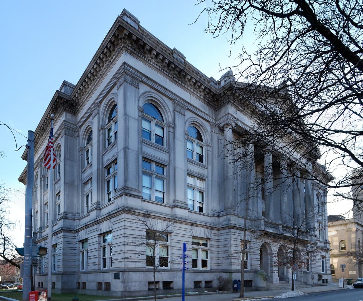
Photo: Wikipedia
Strategic Assessment of Rensselaer County
Meaningful friction. Expect exposure to either population pressure, blast zones, or natural disaster risk. Consider buying a retreat property.
What does the Strategic Assessment tell us?
Our Strategic Assessment grades tactical survivability of an area. Major population centers, military targets, fallout zones, natural disasters, and border exposure all drive risk — lower exposure means a more defensible position in a crisis.
This is heavily inspired by Joel Skousen's Strategic Relocation book. Highly recommended you checkout the book ($)What does this tell us?
Our Strategic Assessment grades tactical survivability of an area. Major population centers, military targets, fallout zones, natural disasters, and border exposure all drive risk — lower exposure means a more defensible position in a crisis.
This is heavily inspired by Joel Skousen's Strategic Relocation book. Highly recommended you checkout the book ($)Strategic Pillars

Key Distances
Strategic Assessment Analysis
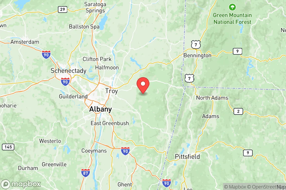
Rensselaer County offers a compelling mix of strategic depth and practical livability for relocators prioritizing resilience, sitting at the critical junction where the Hudson River meets the Berkshire foothills. Its position roughly 150 miles north of New York City and 10 miles east of Albany places it far enough from major metropolitan blast zones to avoid immediate fallout density, yet close enough to leverage the supply chains and medical infrastructure of the Capital District. For a family or individual thinking seriously about disaster readiness, the county’s combination of river access, defensible terrain, and moderate population density makes it one of the more balanced options in the Northeast.
Geographic position and natural advantages for long-term security
Rensselaer County’s geography is its primary strategic asset. The county stretches from the Hudson River’s eastern bank eastward into the Taconic Mountains, creating a natural gradient of defensible positions. The towns of Hoosick Falls and Berlin sit in the eastern highlands, offering elevation and distance from the river corridor, while Troy and Rensselaer occupy the flatter western edge. This east-west variation means a relocator can choose between river-adjacent access to water transport and upland positions with natural chokepoints. The county is also bisected by the Poesten Kill and Hoosic River watersheds, providing multiple surface water sources independent of municipal systems. The region’s temperate climate avoids the extreme drought risks of the Southwest and the hurricane exposure of the coastal plain, though winter storms are a regular consideration. The underlying geology—primarily shale and limestone with some granite intrusions—offers decent groundwater recharge and limited but viable well potential in the eastern townships.
Risks, exposures, and proximity to fallout-relevant landmarks
No location is without risk, and Rensselaer County has specific exposures a strategic relocator must weigh. The most significant is the Albany–Troy urban corridor along the Hudson, which includes the Port of Albany—a major transshipment hub for petroleum, salt, and grain. A conventional or nuclear event targeting the Port’s tank farms or the nearby Albany International Airport could generate localized fallout or secondary hazards. The county also sits within 20 miles of the Knolls Atomic Power Laboratory in Niskayuna, a naval nuclear propulsion research facility. While not a reactor in the commercial sense, its presence elevates the area’s profile as a potential secondary target. On the natural hazard side, the county lies in Seismic Zone 2, meaning moderate earthquake risk—the 2011 Mineral, Virginia quake was felt here—but no active fault lines. Flooding along the Hudson and its tributaries is the most frequent natural threat; the 2011 Hurricane Irene event caused significant damage in Schaghticoke and Hoosick Falls. The county’s two nuclear power plants—Indian Point is decommissioned, but the R.E. Ginna plant in Ontario, NY, is 180 miles west—are not immediate concerns, but the Vermont Yankee site (decommissioned) in Vernon, VT, is only 60 miles north. For a relocator, the practical takeaway is that the western river towns carry higher man-made risk, while the eastern hill towns are more exposed to winter isolation and limited emergency services.
Practical resilience for a relocator: food, water, energy, and defensibility
For someone serious about self-sufficiency, Rensselaer County offers a mixed but workable picture. Water availability is strong: the county’s numerous streams and lakes, including Tomhannock Reservoir (the primary drinking water source for Troy), provide redundant surface water. Well drilling is feasible in the eastern towns, with typical depths of 100–300 feet yielding 5–15 gallons per minute in most areas. Food resilience is moderate: the county has active agricultural land, particularly in the Hoosic Valley and around Stephentown, with dairy, hay, and some vegetable operations. The Troy Waterfront Farmers Market is one of the oldest in the region, but local food production is not sufficient to support the county’s 160,000 residents without imports. A relocator should plan for personal growing space and seed storage. Energy infrastructure is a vulnerability: the grid is served by National Grid, and the county has no major natural gas storage or in-county power generation beyond a few small hydro plants on the Hoosic River. Solar potential is decent but winter cloud cover reduces output significantly; a hybrid system with battery storage is advisable. Defensibility varies by location: the eastern hill towns offer natural chokepoints on the few roads crossing the Taconic range (NY 22 and NY 7), while the western river corridor is more exposed. The county’s gun culture is moderate—New York’s SAFE Act restrictions apply, but rural towns like Berlin and Petersburgh have higher rates of firearm ownership and a more self-reliant mindset than the urbanized areas around Troy.
The overall strategic picture for Rensselaer County is one of balanced viability for the resilience-minded relocator. It avoids the extreme risks of coastal or border regions while offering genuine geographic advantages in water access, defensible terrain, and moderate climate. The trade-offs are real: proximity to Albany’s critical infrastructure, New York’s restrictive regulatory environment, and a winter climate that demands serious preparation. For a family willing to invest in off-grid systems and situate in the eastern townships, the county provides a solid foundation for long-term security without the isolation of more remote locations. It is not a bug-out destination—it is a live-and-prepare location, with the Hudson Valley’s resources within reach and the Berkshires’ seclusion a short drive east.

* Values derived from national, state, county, city and local statistics and may differ in a specific area. Last updated: 2026-08-24T16:31:13.000Z
Narrative content on this page is AI-generated and may contain mistakes. Verify any details that matter before acting on them.
ReloMaps may earn a commission from affiliate links at no extra cost to you.

