Photo: Wikipedia
Strategic Assessment of Catawba County
Meaningful friction. Expect exposure to either population pressure, blast zones, or natural disaster risk. Consider buying a retreat property.
What does the Strategic Assessment tell us?
Our Strategic Assessment grades tactical survivability of an area. Major population centers, military targets, fallout zones, natural disasters, and border exposure all drive risk — lower exposure means a more defensible position in a crisis.
This is heavily inspired by Joel Skousen's Strategic Relocation book. Highly recommended you checkout the book ($)What does this tell us?
Our Strategic Assessment grades tactical survivability of an area. Major population centers, military targets, fallout zones, natural disasters, and border exposure all drive risk — lower exposure means a more defensible position in a crisis.
This is heavily inspired by Joel Skousen's Strategic Relocation book. Highly recommended you checkout the book ($)Strategic Pillars

Key Distances
Strategic Assessment Analysis
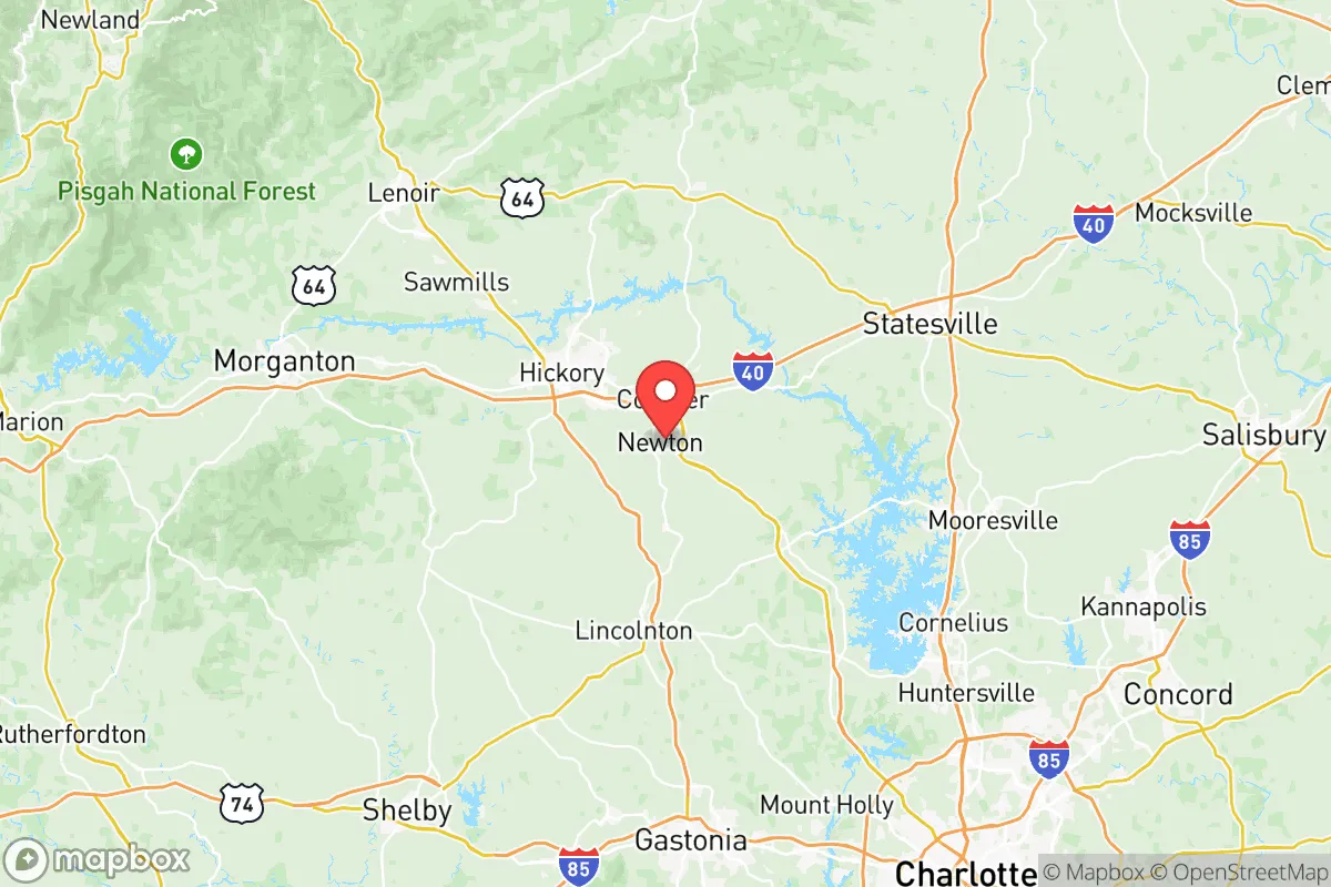
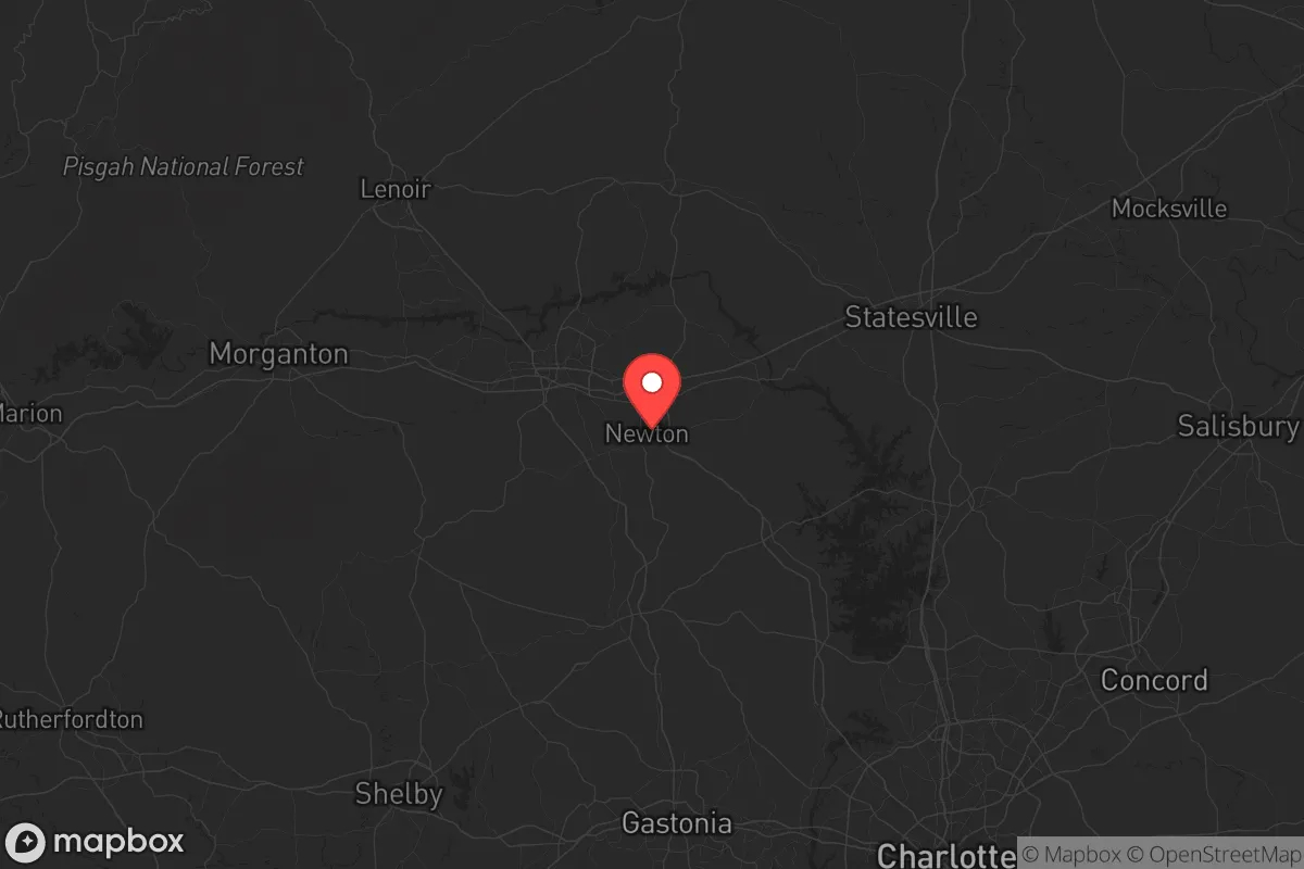
Catawba County, anchored by the city of Hickory and stretching through towns like Newton and Conover, offers a strategic blend of geographic resilience and industrial self-sufficiency that appeals to those prioritizing long-term stability. Located in the western Piedmont of North Carolina, roughly 45 minutes from Charlotte and an hour from the Blue Ridge Mountains, the county sits outside the immediate blast radius of major metropolitan targets while maintaining access to critical supply chains. Its position along Interstate 40 and near U.S. Highway 321 provides redundant evacuation routes east toward the coast or west into the Appalachians, a key advantage for anyone mapping out multiple contingency scenarios in an era of increasing uncertainty.
Geographic position and natural advantages for long-term stability
Catawba County’s topography is a mix of rolling hills, hardwood forests, and the Catawba River watershed, which supplies the region’s drinking water and supports the Duke Energy hydroelectric facilities along Lake Hickory and Lake Norman. The county sits in a moderate climate zone—winters rarely drop below 20°F, summers peak in the low 90s—which reduces the risk of extreme weather events compared to coastal or plains regions. The terrain offers natural defensibility: the river valleys create chokepoints for movement, while the surrounding national forests (Pisgah and Uwharrie within a two-hour drive) provide remote resupply and retreat options. For a relocator, this means the land itself supports a lower-profile existence, with ample space for private gardens, rainwater catchment, and off-grid energy setups without drawing attention. The county’s agricultural base—poultry, dairy, and row crops like soybeans and corn—adds a layer of food security that urban corridors lack, and the local farmers’ markets in Hickory and Newton are active year-round.
Risks, exposures, and proximity to fallout-relevant landmarks
No strategic assessment is honest without weighing the liabilities. Catawba County’s primary risk is its proximity to Charlotte’s urban core (about 50 miles southeast), which is a Tier 1 target for any mass-casualty scenario involving economic or infrastructure disruption. The county itself hosts several industrial sites that could become secondary fallout zones: the Duke Energy McGuire Nuclear Station on Lake Norman, roughly 20 miles south of Hickory, is a pressurized water reactor that, while well-regulated, represents a potential radiation hazard in a cascading failure event. Additionally, the county’s manufacturing base—including CommScope (telecommunications equipment) and Corning (fiber optics)—produces materials that could be targeted for supply-chain disruption. The Hickory Regional Airport is a general aviation hub, not a major commercial airport, which limits its value as a target but also means it could be commandeered for evacuation or resupply. More concerning is the Interstate 40 corridor running through the county: in a crisis, this highway becomes a funnel for refugees from the Charlotte metro area, potentially overwhelming local resources. The county’s emergency management infrastructure is solid—Catawba County Emergency Services operates a well-regarded 911 center and coordinates with the North Carolina National Guard’s 145th Combat Sustainment Support Battalion based in Hickory—but a mass influx of displaced persons would test its capacity within hours.
Practical resilience for a relocator: food, water, energy, and defensibility
For a single individual or family looking to harden their position, Catawba County offers a practical foundation. Water is abundant: the Catawba River and its reservoirs (Lake Hickory, Lake Norman, and Lookout Shoals Lake) provide surface water that can be filtered or boiled, and the county’s average annual rainfall of 45 inches supports rainwater harvesting. The local power grid is served by Duke Energy, but the region’s hydroelectric dams and proximity to the Badin Lake pumped-storage facility (30 miles east) mean that even in a grid-down scenario, localized power generation is possible for those with solar or micro-hydro setups. Food access is strong: the Hickory Farmers Market operates April through November, and the county has over 100 farms registered with the USDA, many of which offer direct-to-consumer sales. For long-term storage, the Food Lion distribution center in Newton is a regional hub, but in a crisis, it would be a looting target—better to establish relationships with local growers now. Defensibility is moderate: the county’s suburban sprawl around Hickory and Conover means many neighborhoods are visible from main roads, but rural pockets in the Balls Creek and Sherrills Ford areas offer wooded lots with limited access points. The Catawba County Sheriff’s Office maintains a visible presence, and the local gun culture is strong—there are multiple shooting ranges and sporting goods stores in Hickory—which aligns with a self-reliant mindset. The county’s hospital system, anchored by Frye Regional Medical Center in Hickory and Catawba Valley Medical Center, provides trauma care within 20 minutes of most residences, a critical factor for any scenario involving injury or civil unrest.
The overall strategic picture for Catawba County is one of calculated trade-offs. It avoids the direct blast zones of Charlotte, Raleigh, or the military installations at Fort Liberty (formerly Fort Bragg), but it sits close enough to those targets to experience secondary effects—refugee flows, supply chain disruptions, and potential radiation drift from the McGuire plant. For a relocator with a conservative, prepper-oriented mindset, the county’s strengths lie in its natural resources, moderate climate, and existing infrastructure for self-sufficiency. The weaknesses are the proximity to a major city and a nuclear facility, which require a solid bug-out plan into the mountains west of Morganton or south toward the Uwharrie National Forest. If you’re willing to invest in water filtration, solar backup, and a network of local contacts, Catawba County can serve as a viable long-term base—but it’s not a remote fortress. It’s a suburban-rural hybrid that demands vigilance, preparation, and a clear-eyed understanding that no location in the eastern United States is truly safe from the fallout of a national crisis.
* Values derived from national, state, county, city and local statistics and may differ in a specific area. Last updated: 2026-06-06T09:10:36.000Z
Narrative content on this page is AI-generated and may contain mistakes. Verify any details that matter before acting on them.
ReloMaps may earn a commission from affiliate links at no extra cost to you.