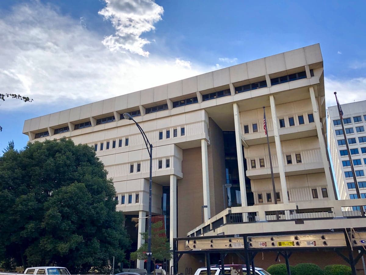
Photo: Wikipedia
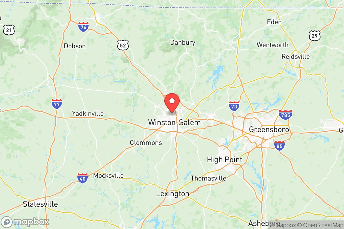
Strategic Assessment of Forsyth County
Meaningful friction. Expect exposure to either population pressure, blast zones, or natural disaster risk. Consider buying a retreat property.
What does the Strategic Assessment tell us?
Our Strategic Assessment grades tactical survivability of an area. Major population centers, military targets, fallout zones, natural disasters, and border exposure all drive risk — lower exposure means a more defensible position in a crisis.
This is heavily inspired by Joel Skousen's Strategic Relocation book. Highly recommended you checkout the book ($)What does this tell us?
Our Strategic Assessment grades tactical survivability of an area. Major population centers, military targets, fallout zones, natural disasters, and border exposure all drive risk — lower exposure means a more defensible position in a crisis.
This is heavily inspired by Joel Skousen's Strategic Relocation book. Highly recommended you checkout the book ($)Strategic Pillars

Key Distances
Strategic Assessment Analysis
Forsyth County, anchored by Winston-Salem, offers a strategic blend of geographic resilience and practical self-sufficiency that appeals to relocation-minded readers prioritizing disaster readiness. Its position in the Piedmont Triad—roughly equidistant from the Atlantic coast and the Appalachian Mountains—provides a natural buffer against both hurricane storm surge and the most severe inland weather events, while its distance from major metropolitan targets like Washington D.C. (about 350 miles) and Atlanta (about 250 miles) reduces exposure to fallout-relevant infrastructure. The county’s economic and logistical advantages, including its role as a regional hub for healthcare, manufacturing, and distribution, further support a relocation strategy focused on long-term stability and resource access.
Geographic position and natural advantages for long-term stability
Forsyth County sits in the Yadkin-Pee Dee River basin, a region characterized by rolling hills, mixed hardwood forests, and a temperate climate that avoids the extremes of both the coastal plain and the mountains. The county’s elevation ranges from roughly 700 to 1,000 feet above sea level, which places it well above the flood-prone zones of the coastal plain while remaining accessible for transportation and agriculture. The Yadkin River and its tributaries, including Muddy Creek and Salem Creek, provide a reliable freshwater source, though the county’s water supply is managed through a combination of reservoirs (like Belews Lake and Salem Lake) and groundwater wells, offering redundancy in a prolonged outage scenario. The region’s clay-loam soils are moderately fertile, supporting small-scale gardening and livestock grazing, though large-scale agriculture is less dominant than in the surrounding rural counties. The area’s natural defensibility is moderate: the terrain lacks dramatic choke points like mountain passes, but the patchwork of suburban neighborhoods, wooded corridors, and farmland creates a landscape that is neither easily traversed nor easily isolated, offering a balance of accessibility and concealment for a prepared household.
Risks, exposures, and proximity to fallout-relevant landmarks
While Forsyth County avoids the highest-risk zones for hurricanes, earthquakes, and wildfires, it is not without vulnerabilities. The primary natural risk is severe thunderstorms and tornadoes, which occur regularly in the Piedmont region; the county averages about 20 tornado warnings per year, though direct hits are rare. Flooding is a localized concern along the Yadkin River and its tributaries, particularly in low-lying areas near Winston-Salem’s downtown and in communities like Kernersville and Lewisville. Man-made risks are more significant for the strategic-minded relocator. The county is home to several potential fallout-relevant landmarks: the Winston-Salem/Forsyth County Schools administrative complex and the Wake Forest Baptist Medical Center are large institutional targets, while the R.J. Reynolds Tobacco Company’s Whitaker Park and the Herbalife Nutrition manufacturing facility represent industrial sites that could be secondary targets in a conflict scenario. More critically, Forsyth County lies within 100 miles of Fort Liberty (formerly Fort Bragg) in Fayetteville, a major military installation that could be a primary target in a large-scale conflict. The county also sits near the Piedmont Triad International Airport in Greensboro, a regional cargo and logistics hub that could be a secondary target. For a relocator, the key takeaway is that while Forsyth County is not a high-priority target itself, its proximity to military and logistics infrastructure means it could experience fallout effects—both literal and economic—in a major crisis. The county’s distance from the coast (about 200 miles) and from major nuclear power plants (the nearest is McGuire Nuclear Station, about 90 miles away) reduces, but does not eliminate, exposure to radiological hazards.
Practical resilience for a relocator: food, water, energy, and defensibility
For a household focused on self-sufficiency, Forsyth County offers a mixed but workable picture. Food security is supported by the county’s agricultural base: there are over 1,200 farms in Forsyth County, producing poultry, cattle, soybeans, and tobacco, as well as a growing network of farmers’ markets and community-supported agriculture (CSA) programs. The Piedmont Triad Farmers Market in nearby Colfax is a year-round source of local produce, meats, and dairy. For long-term storage, the county’s moderate humidity (averaging 70%) requires careful planning for grain and dried goods, but root cellaring is feasible in the clay soils. Water resilience is a relative strength: the county’s public water system draws from the Yadkin River and several reservoirs, but a well-equipped household can drill a private well (average depth 200-400 feet) with yields of 5-20 gallons per minute, depending on location. Rainwater catchment is legal and practical, with average annual rainfall of 43 inches. Energy resilience is more challenging. The county is served by Duke Energy, which relies on a mix of natural gas, coal, nuclear, and renewables, but the grid is vulnerable to ice storms and summer thunderstorms. Solar potential is moderate (about 4.5 peak sun hours per day), and net metering is available, though permitting can be slow in Winston-Salem’s city limits. Wood heating is a viable backup, with ample hardwood forests in the western part of the county near Hanging Rock State Park and the Sauratown Mountains. Defensibility is a nuanced factor: the county’s suburban and exurban character means that a prepared household can find a property with good sightlines, natural barriers (creeks, wooded ridges), and distance from major roads, but the overall population density (about 700 people per square mile in Winston-Salem, dropping to 200-300 in rural areas) means that a crisis could bring significant movement through the area. The county’s network of secondary roads and state highways (including US 421, I-40, and I-74) provides multiple evacuation routes, but also potential chokepoints. For a relocator, the ideal property would be in the western or northern parts of the county, near Bethania or Rural Hall, where rural zoning, well water, and forest cover offer the best balance of access and isolation.
Overall, Forsyth County presents a credible option for the strategic relocator who wants proximity to medical and logistical infrastructure without being directly in the crosshairs of a major target. Its geographic position in the Piedmont provides a natural buffer against coastal and mountain hazards, while its agricultural base and water resources support a degree of self-sufficiency. The primary trade-offs are the moderate risk from tornadoes and the proximity to Fort Liberty and regional transport hubs, which could create secondary fallout effects in a major conflict. For a household willing to invest in a well, solar panels, and a wood stove, and to choose a property in the county’s less dense western or northern areas, Forsyth County offers a defensible, resource-rich base that balances resilience with access to the amenities of a mid-sized city. The key is to treat the county as a hub for supply and medical support, not as a remote bunker—and to plan for the possibility that a crisis could bring significant population movement through the I-40 corridor. For the conservative-leaning relocator who values community, preparedness, and a slower pace of life without complete isolation, Forsyth County is a strong contender.
* Values derived from national, state, county, city and local statistics and may differ in a specific area. Last updated: 2026-06-12T18:23:59.000Z
Narrative content on this page is AI-generated and may contain mistakes. Verify any details that matter before acting on them.
ReloMaps may earn a commission from affiliate links at no extra cost to you.