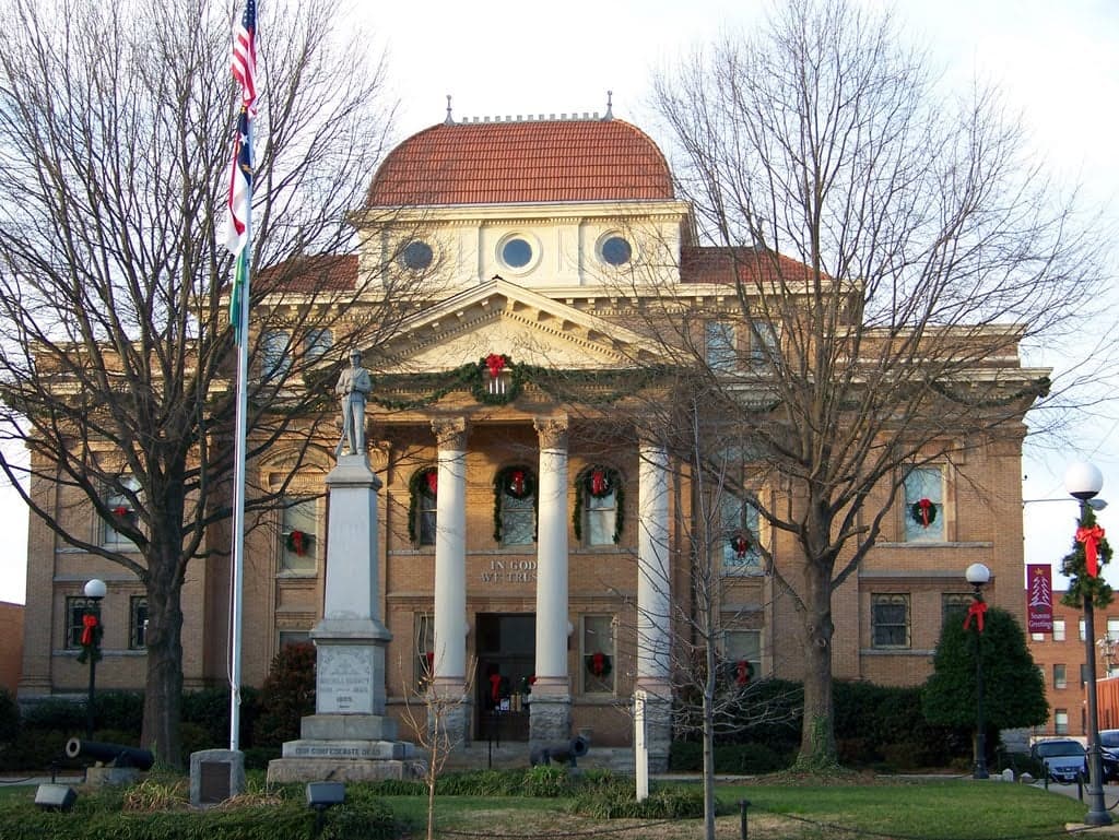
Photo: Wikipedia
Strategic Assessment of Iredell County
Meaningful friction. Expect exposure to either population pressure, blast zones, or natural disaster risk. Consider buying a retreat property.
What does the Strategic Assessment tell us?
Our Strategic Assessment grades tactical survivability of an area. Major population centers, military targets, fallout zones, natural disasters, and border exposure all drive risk — lower exposure means a more defensible position in a crisis.
This is heavily inspired by Joel Skousen's Strategic Relocation book. Highly recommended you checkout the book ($)What does this tell us?
Our Strategic Assessment grades tactical survivability of an area. Major population centers, military targets, fallout zones, natural disasters, and border exposure all drive risk — lower exposure means a more defensible position in a crisis.
This is heavily inspired by Joel Skousen's Strategic Relocation book. Highly recommended you checkout the book ($)Strategic Pillars

Key Distances
Strategic Assessment Analysis
Geographic position and natural advantages for a defensive relocation
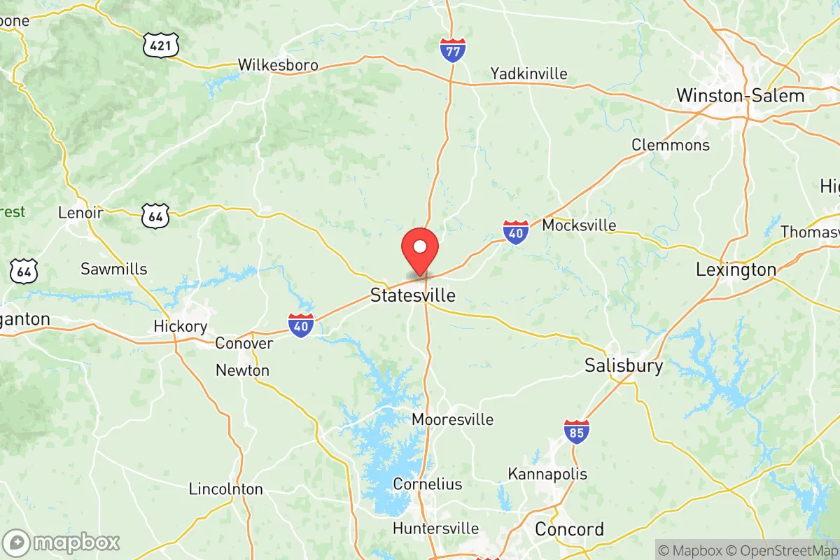
Iredell sits in the western Piedmont, roughly 800 feet above sea level, which puts it well inland from hurricane storm surge and far enough from the coast that the worst Atlantic cyclones arrive as wind events rather than complete infrastructure failures. The county is bisected by the Yadkin River on its eastern side and ringed by Lake Norman to the south – that lake alone holds over 30,000 acres of water and provides a natural barrier against ground approach from Charlotte. The terrain is not mountainous, but there are enough folds and ridges in the southern part of the county (around the communities of Mooresville, Troutman, and Olin) to create visual cover and dead‑zones for anyone trying to approach on main roads. For a relocator, the key advantage is that you have multiple water sources – Lake Norman, the Yadkin, and numerous private wells that draw from the deep Piedmont aquifer – meaning you aren’t locked into a single municipal system. The county also sits at the intersection of two interstates (I‑77 and I‑40) and two major freight rail lines, so supply resupply post‑disaster is theoretically fast – but those same corridors are also risk vectors, which we’ll cover next.Risks and exposures: proximity to fallout landmarks and population centers
Here’s where the analysis gets serious. Iredell County’s biggest exposure is its proximity to McGuire Nuclear Station, about fifteen miles south of the county line on Lake Norman. That reactor is a single‑unit pressurized water plant that sits within a few miles of the Charlotte suburbs of Huntersville and Cornelius. If that facility ever suffers a catastrophic event – whether from a natural disaster, mechanical failure, or deliberate attack – the fallout plume could push north toward Iredell depending on wind direction. The NRC’s emergency planning zone extends ten miles, but realistic dispersal models suggest particulate contamination could reach southern Iredell within a couple hours. That’s a risk you have to accept if you settle anywhere in Lake Norman’s orbit. Second, Charlotte Douglas International Airport (CLT) is roughly a thirty‑five‑minute drive south – a major hub that sees heavy cargo traffic and passenger volumes, making it a prime target for any coordinated attack. Add in the I‑77 corridor as a chokepoint for mass evacuation, and you have a scenario where a Charlotte event sends tens of thousands of panicked people straight up that highway into Iredell’s towns. Fort Liberty (formerly Fort Bragg) is about 130 miles southeast, which is outside immediate danger but still within medium‑range fallout or deployment radius if domestic unrest triggers military movement. The county also hosts a large prison (Brown Creek Correctional) and several chemical storage facilities along the rail lines near Statesville – a derailment or intentional release of anhydrous ammonia or chlorine is a realistic hazard in that industrial zone. If your priority is zero proximity to any large city or critical infrastructure, Iredell isn’t that – but it’s far enough from the biggest targets that you have time to react, provided you plan ahead.Practical resilience in Iredell County: food, water, energy, and defensibility
For a relocator focused on day‑to‑day survival, the practical picture is mixed but workable. Water is the county’s strongest asset – Lake Norman and the Yadkin River are perennial surface sources, and private well drilling is common in rural areas with yields of 15–50 gallons per minute. Municipal water in Statesville and Mooresville comes from surface reservoirs, but a power outage kills pumps within a few hours, so a hand‑pump or a rainwater catchment system is a must if you go rural. Food: Iredell is part of North Carolina’s poultry and hog belt, and you’ll find working farms especially in the northern and western parts (around Harmony, Union Grove, and Bethany). The Statesville Farmers Market runs seasonally, and several CSAs operate year‑round. For long‑term sustainability, you can produce a good garden from late March through October, but you’ll need to store for the winter. Energy: the county lies in a decent solar window – not southwest‑desert level, but enough for rooftop panels to cover a moderate off‑grid home. Duke Energy’s grid is the only option for grid‑tied; outages during summer storms or ice events are common but typically short (under 24 hours). For defensibility, the rural parts of Iredell offer plenty of wooded acreage with good lines of sight and limited road access. Properties around the South Yadkin River or along the rolling hills of the Brushy Mountain foothills (northwest corner near the Alexander County line) give you natural terrain barriers. But note: the county is not a remote fortress. Statesville and Mooresville are growing fast – Mooresville added nearly 7,000 residents between 2020 and 2024 – so what’s now a quiet country lane could be a subdivision in a decade. Buy land with a buffer, and vet your neighbors’ political leanings if you value a like‑minded community.Overall strategic picture for the conservative relocator
Iredell County balances risk and reward in a way that works for someone who wants to stay within an hour of major medical facilities and hardware suppliers while keeping a foot in a rural, gun‑friendly environment. It will never be the perfect bug‑out location – the nuclear plant to the south and the Charlotte engine to the east are real vulnerabilities – but it offers a defensible perimeter, solid water access, and a community that largely respects the Second Amendment and local law enforcement. For a single individual or a family with kids, the schools in the Mooresville and Statesville districts are adequate, and the county’s Sheriff’s Office (under a conservative sheriff as of 2026) maintains a visible presence in rural areas. If you can live with the knowledge that you’re thirty miles from a major city and fifteen from a nuclear reactor, and if you invest in private well water, solar backup, and a good cache of supplies, Iredell gives you a resilient base from which to survive a broad range of crises – economic, natural, or social. It’s not a cave in the Rockies, but for most of the country it’s a smart, sober choice.* Values derived from national, state, county, city and local statistics and may differ in a specific area. Last updated: 2026-05-18T18:50:57.000Z
Narrative content on this page is AI-generated and may contain mistakes. Verify any details that matter before acting on them.
ReloMaps may earn a commission from affiliate links at no extra cost to you.