Photo: Wikipedia
Strategic Assessment of Cavalier County
Strong survivability profile. Good buffer from population centers, with manageable environmental and tactical risks.
What does the Strategic Assessment tell us?
Our Strategic Assessment grades tactical survivability of an area. Major population centers, military targets, fallout zones, natural disasters, and border exposure all drive risk — lower exposure means a more defensible position in a crisis.
This is heavily inspired by Joel Skousen's Strategic Relocation book. Highly recommended you checkout the book ($)What does this tell us?
Our Strategic Assessment grades tactical survivability of an area. Major population centers, military targets, fallout zones, natural disasters, and border exposure all drive risk — lower exposure means a more defensible position in a crisis.
This is heavily inspired by Joel Skousen's Strategic Relocation book. Highly recommended you checkout the book ($)Strategic Pillars

Key Distances
Strategic Assessment Analysis
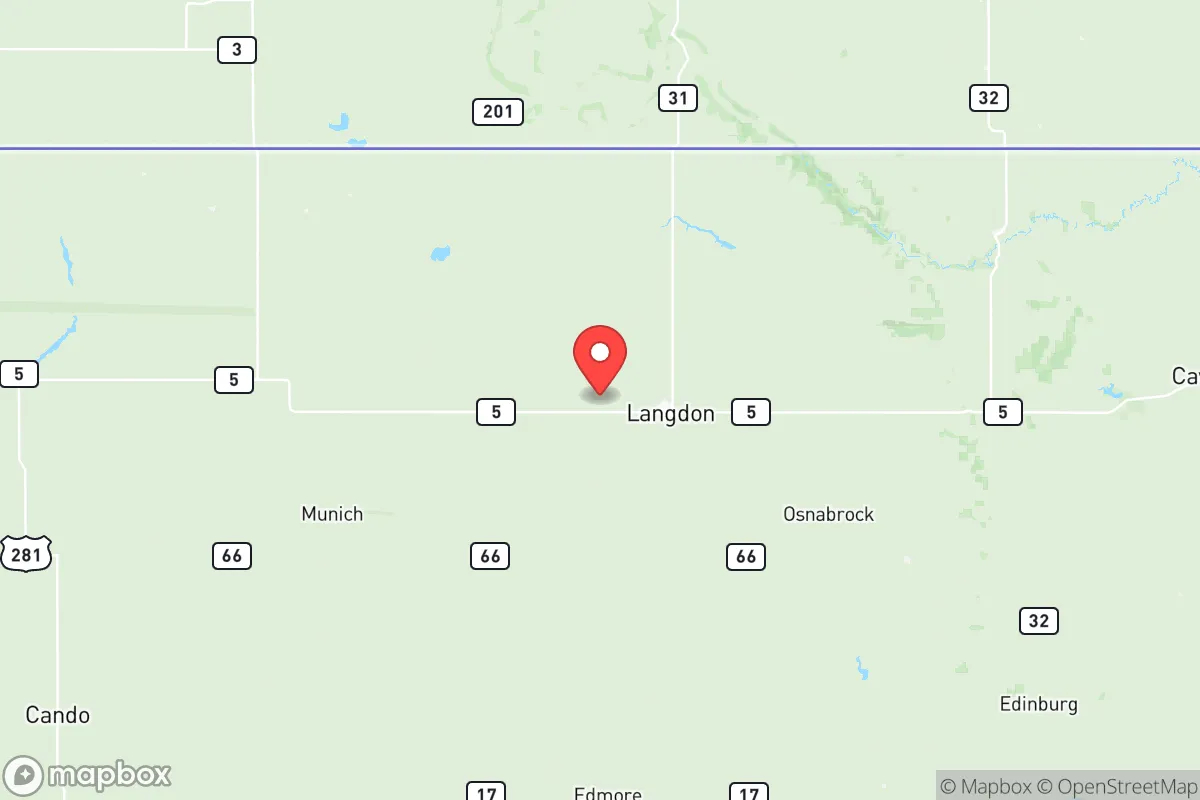
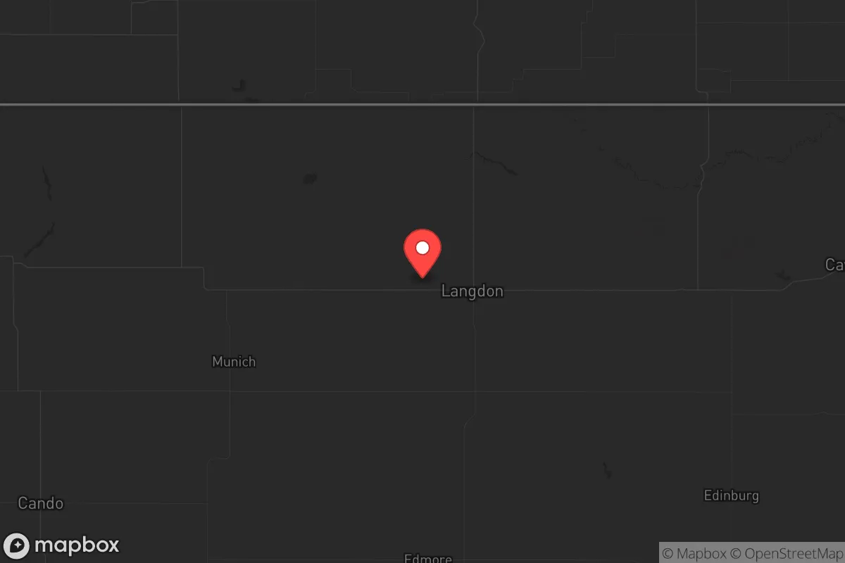
Cavalier County, North Dakota, sits in a corner of the country that most of the chaos hasn’t touched yet—and that’s the point. Tucked along the Canadian border in the northeastern part of the state, this is a place where the nearest metro area of any real size (Grand Forks, population ~55,000) is over 90 miles south, and Winnipeg, Manitoba is about 120 miles north. The county seat, Langdon, anchors a region of roughly 3,700 people spread across 1,500 square miles of rolling prairie and glacial lakes. For someone looking to put serious distance between themselves and the kind of population-density-driven collapse that’s becoming harder to ignore, this is about as far as you can get without leaving the country. The resilience here isn’t hypothetical—it’s baked into the geography, the sparse population, and the local economy that still runs on agriculture, not algorithms.
Geographic position and natural advantages for long-term stability
Cavalier County’s location is its primary strategic asset. It sits in the Pembina River Valley, a fertile corridor that drains into the Red River of the North, giving it reliable access to surface water—something that’s becoming a critical consideration as drought patterns shift across the West. The county is part of the larger Drift Prairie region, meaning the terrain is gently rolling but not mountainous, which makes it practical for small-scale farming, livestock, and even off-grid homesteading. The growing season is short (roughly 110-120 frost-free days), but the soil is rich, and the area has historically been a breadbasket for the region. Langdon, the county seat, sits at roughly 1,600 feet elevation, which puts it above the flood-prone Red River Valley to the east while still being low enough to avoid the brutal wind exposure of the high plains further west. The county also borders the Pembina Gorge, a 12-mile stretch of wooded river breaks that offers natural cover, game habitat, and a defensible terrain feature if things ever got kinetic. For a relocator thinking in decades, not election cycles, this is the kind of place where you can dig in and not worry about being overrun by a refugee flow from a major city—because there simply aren’t any major cities within a day’s drive.
Risks, exposures, and proximity to fallout-relevant landmarks
No place is a fortress, and Cavalier County has its own set of exposures that a serious prepper needs to weigh. The most obvious is the Cavalier Space Force Station, located about 10 miles south of Langdon. This is a missile warning and space surveillance facility, part of the U.S. Space Force’s global network. In a major conflict—especially one involving nuclear-armed adversaries—this site becomes a high-value target. The base itself is hardened and has its own security, but the surrounding area would be in the blast or fallout zone of a direct strike. That’s the single biggest strategic downside of this county. On the plus side, the base also means a steady presence of federal law enforcement and military personnel, which tends to suppress the kind of opportunistic crime that plagues more isolated rural areas. The other risk is proximity to the Pembina Border Port of Entry, about 30 miles north of Langdon. In a national emergency, the border could become a chokepoint for traffic, refugees, or even military movements. That said, the port is small and easily bypassed via county roads if you know the terrain. There are no major refineries, chemical plants, or nuclear power plants within 150 miles—the nearest significant industrial target is the Husky Energy refinery in Minot, about 180 miles west. For fallout exposure, the prevailing winds in this region are from the west and northwest, meaning any fallout from a strike on the Space Force station would blow east into Minnesota, not back over the county. That’s a small but meaningful advantage.
Practical resilience for a relocator: food, water, energy, and defensibility
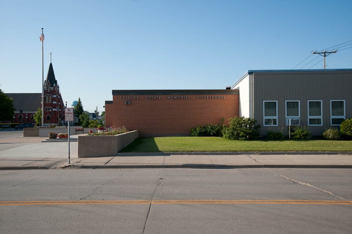
For someone serious about self-sufficiency, Cavalier County checks most of the boxes. Water is the first concern, and the county has abundant groundwater. The Pembina River and the Tongue River both run through the area, and the glacial aquifers beneath the county are shallow and accessible. Most rural properties already have wells, and drilling a new one runs about $15-25 per foot—cheap by national standards. The county also sits atop the Williston Basin, which means there’s natural gas and oil in the region, though the active drilling is concentrated further west. For energy, solar is viable here—the county gets about 4.5 peak sun hours per day in summer, and winter days are short but clear, so a properly sized off-grid system with battery storage can work. Wind is also a serious option; the area is rated as Class 3-4 wind resource, meaning consistent 12-15 mph average winds. Langdon has its own municipal electric utility, which is a plus for grid reliability, but the real play is going off-grid entirely. Food production is where this county shines. The soil is some of the best in the state for small grains, potatoes, and root vegetables. Game is abundant—deer, pheasant, waterfowl, and even elk in the Pembina Gorge. The county has a strong tradition of hunting and fishing, and the local culture is still one where neighbors help each other with harvest and butchering. Defensibility is good but not perfect. The open prairie means long sightlines—you can see someone coming from miles away—but it also means limited cover. The Pembina Gorge and the wooded river valleys provide natural chokepoints and ambush positions. The population density is about 2.5 people per square mile, which means you can go days without seeing another vehicle on the county roads. That kind of isolation is a double-edged sword: it’s great for privacy and security, but it also means you need to be self-reliant for medical emergencies, mechanical breakdowns, and supply runs. Langdon has a small hospital (Cavalier County Memorial Hospital) with a basic ER, but anything serious means a 90-minute drive to Grand Forks or a 2-hour drive to Winnipeg.
The overall strategic picture for Cavalier County is one of trade-offs, but the trade-offs lean heavily in favor of the prepared relocator. The Space Force station is a real liability in a major war scenario, but for the more likely threats—civic unrest, supply chain disruptions, economic collapse, or a pandemic sequel—this county is about as safe as it gets in the lower 48. The isolation that makes it unattractive to most people is exactly what makes it valuable to someone who sees the writing on the wall. The local economy is stable, the community is tight-knit and conservative in the traditional sense (self-reliance, low taxes, minimal government overreach), and the land is affordable—you can still buy a 40-acre parcel with a house for under $200,000. The winters are brutal (average January high of 14°F, wind chills that can hit -40°F), but that cold is itself a defense mechanism: it filters out the unprepared and the unserious. If you’re looking for a place to ride out the next decade without being in the blast radius of a major city or a strategic target, Cavalier County deserves a serious look. Just make sure you’ve got a good snowplow and a solid plan for that Space Force station scenario.
* Values derived from national, state, county, city and local statistics and may differ in a specific area. Last updated: 2026-05-15T16:40:06.000Z
Narrative content on this page is AI-generated and may contain mistakes. Verify any details that matter before acting on them.
ReloMaps may earn a commission from affiliate links at no extra cost to you.