
Photo: Wikipedia
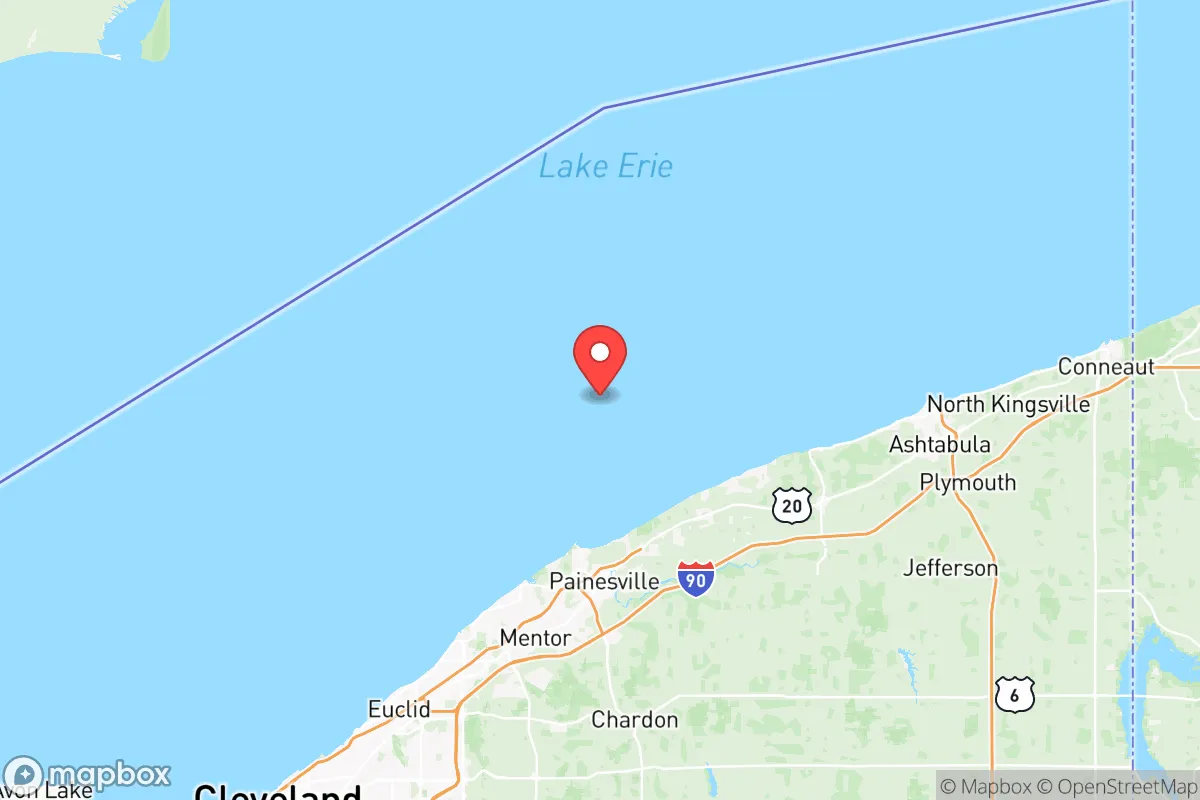
Strategic Assessment of Lake County
Meaningful friction. Expect exposure to either population pressure, blast zones, or natural disaster risk. Consider buying a retreat property.
What does the Strategic Assessment tell us?
Our Strategic Assessment grades tactical survivability of an area. Major population centers, military targets, fallout zones, natural disasters, and border exposure all drive risk — lower exposure means a more defensible position in a crisis.
This is heavily inspired by Joel Skousen's Strategic Relocation book. Highly recommended you checkout the book ($)What does this tell us?
Our Strategic Assessment grades tactical survivability of an area. Major population centers, military targets, fallout zones, natural disasters, and border exposure all drive risk — lower exposure means a more defensible position in a crisis.
This is heavily inspired by Joel Skousen's Strategic Relocation book. Highly recommended you checkout the book ($)Strategic Pillars

Key Distances
Strategic Assessment Analysis
Lake County, Ohio, offers a strategic paradox for the conservative prepper: it sits within the shadow of a major Great Lakes metropolis yet retains enough rural buffer and industrial self-sufficiency to function as a viable fallback zone. The county’s resilience stems from its position on the southern shore of Lake Erie, roughly 30 miles northeast of Cleveland, placing it close enough to urban resources but far enough to avoid the worst of a city’s collapse. For a relocator weighing civic unrest, supply chain disruptions, or mass casualty events, Lake County provides a mix of freshwater access, local manufacturing, and a politically red-leaning population that tends to keep to itself. The key is understanding where the vulnerabilities lie—and whether the trade-offs align with a prepared mindset.
Geographic position and natural advantages for a prepared relocation
Lake County’s primary asset is its 35-mile Lake Erie shoreline, which offers a reliable, high-volume freshwater source that no drought or municipal failure can easily cut off. The county sits on a relatively flat to gently rolling terrain, with the Grand River cutting through the eastern half, providing additional riparian access and potential for small-scale hydroponics or irrigation. The area is not prone to earthquakes, hurricanes, or wildfires—the main natural threats are lake-effect snow (which can dump 80-100 inches annually in the eastern townships) and occasional severe thunderstorms. For a prepper, the snow is a double-edged sword: it complicates travel and grid access but also provides a natural water reservoir if melted. The county’s position relative to major highways—I-90 runs east-west through the middle, and State Route 2 hugs the lakeshore—means you can reach Cleveland’s industrial core in 30-40 minutes, but also bug out east toward Pennsylvania or north into Canada via the Lake Erie islands or the Detroit-Windsor tunnel (about 90 minutes west). The presence of Mentor, Painesville, and Willoughby as population centers means you’re not isolated, but you’re also not in a dense urban core. The county’s population density is roughly 800 people per square mile, which is moderate—enough to have neighbors but not so dense that you’re fighting for resources in a crisis.
Risks, exposures, and proximity to fallout-relevant landmarks
Here’s where the analysis gets serious. Lake County’s biggest strategic liability is its proximity to Cleveland and the Cuyahoga River industrial corridor, which includes refineries, chemical plants, and the Port of Cleveland—a major Great Lakes shipping hub. In a mass casualty event or a grid-down scenario, Cleveland’s population of roughly 370,000 (metro area 2 million) would push outward, and Lake County’s eastern townships would be a natural escape route. The county itself hosts the Painesville Municipal Power Plant (a natural gas facility) and the Lake County Landfill, both of which could become targets for looting or contamination if civil order breaks down. More concerning is the Perry Nuclear Power Plant, located just east of the county line in Lake County proper—it’s about 10 miles from Painesville. While the plant has a solid safety record, any nuclear incident (terrorism, sabotage, or accident) would put the entire eastern half of the county in a potential evacuation or fallout zone. The Willoughby Hills area, with its higher elevation and wooded terrain, offers some natural shielding, but the prevailing winds from the west mean fallout from a Cleveland or Perry event would drift eastward. Additionally, the county’s Mentor Marsh and Grand River wetlands are ecological assets but also potential disease vectors if water treatment fails. For a prepper, the takeaway is that Lake County is not a remote bunker location—it’s a buffer zone that requires active monitoring of Cleveland’s status and a plan to move further east (into Ashtabula County or Pennsylvania) if the urban collapse spills over.
Practical resilience for a relocator: food, water, energy, and defensibility
On the practical side, Lake County offers several advantages for a self-reliant household. Water is abundant: Lake Erie is the primary source, but the county also has numerous inland lakes (like Lake Metroparks’ Hidden Lake and Painesville’s Kiwanis Lake) and the Grand River, which runs through Fairport Harbor and Perry. A well-equipped prepper could draw from these with a hand pump or solar-powered filtration, though surface water requires treatment for agricultural runoff and industrial contaminants. Food-wise, the county has a strong agricultural base in the eastern townships—Madison and Perry have active farms producing corn, soybeans, and apples, and the Lake County Farm Bureau is active. For long-term storage, the Mentor and Willoughby areas have multiple big-box stores (Costco, Walmart, Home Depot) that would be looted early in a crisis, so a prepper should stockpile before any event. Energy is a mixed bag: the county’s grid is tied to Cleveland’s infrastructure, meaning a regional blackout would hit hard. However, the lake provides a consistent wind resource—small-scale wind turbines are viable along the shoreline—and the relatively flat terrain makes solar panels effective, though snow cover in winter reduces output. Defensibility is moderate: the county’s suburban sprawl means most homes are within 50-100 feet of neighbors, which is not ideal for a standoff. But the eastern townships (Perry, Madison, and North Perry) offer more rural parcels with wooded lots, longer sightlines, and fewer through roads. The Lake County Sheriff’s Office is well-funded and has a reputation for quick response, but in a widespread event, you’d be relying on neighborhood watch and your own perimeter. The Grand River Valley area, with its vineyards and rolling hills, provides natural chokepoints and cover for a retreat.
The overall strategic picture for Lake County is that of a high-potential but high-maintenance relocation zone. It’s not a remote survivalist paradise—you’re within 30 miles of a major city, a nuclear plant, and a Great Lakes shipping corridor that could become a target. But for a conservative prepper who wants to stay connected to urban supply chains while maintaining a buffer, it’s a solid middle ground. The freshwater access is unmatched in the Midwest, the local food production is real, and the political climate (Lake County leans Republican, with Trump winning the county in 2020 by about 4 points) means you’re surrounded by like-minded individuals who value self-reliance. The key is to have a layered plan: a primary residence in the eastern townships (Perry or Madison), a secondary bug-out location further east (Ashtabula County or into Pennsylvania’s Allegheny National Forest), and a robust supply of water filtration, food stores, and off-grid power. If you’re willing to trade absolute isolation for strategic access, Lake County is worth a hard look—but only if you’re prepared to monitor Cleveland’s pulse and move fast when the signal turns red.
* Values derived from national, state, county, city and local statistics and may differ in a specific area. Last updated: 2026-05-10T12:55:26.000Z
Narrative content on this page is AI-generated and may contain mistakes. Verify any details that matter before acting on them.
ReloMaps may earn a commission from affiliate links at no extra cost to you.