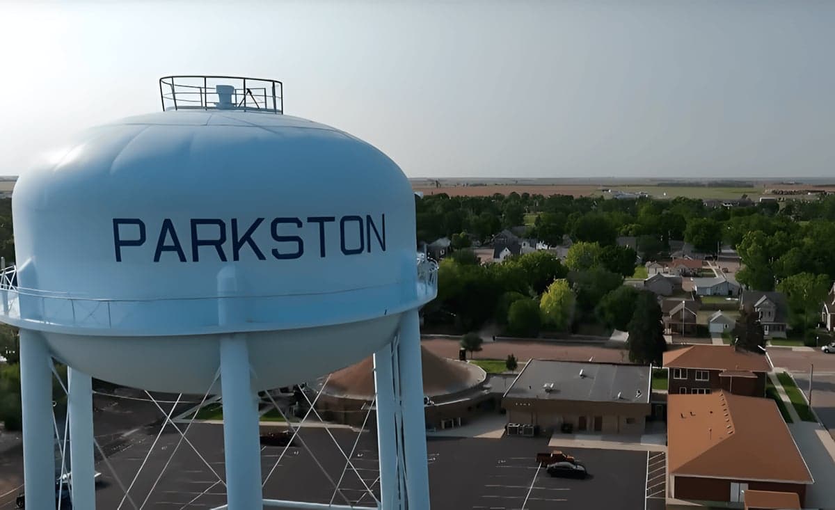
Strategic Assessment of Parkston, SD
Workable tactical position. Some exposure to population density or targets, but generally defensible in a crisis.
What does the Strategic Assessment tell us?
Our Strategic Assessment grades tactical survivability of an area. Major population centers, military targets, fallout zones, natural disasters, and border exposure all drive risk — lower exposure means a more defensible position in a crisis.
This is heavily inspired by Joel Skousen's Strategic Relocation book. Highly recommended you checkout the book ($)What does this tell us?
Our Strategic Assessment grades tactical survivability of an area. Major population centers, military targets, fallout zones, natural disasters, and border exposure all drive risk — lower exposure means a more defensible position in a crisis.
This is heavily inspired by Joel Skousen's Strategic Relocation book. Highly recommended you checkout the book ($)Strategic Pillars

Key Distances
Regional Safe Places
Below is our recommended "safe zones" in South Dakota and the surrounding area based on our strategic heuristics. For most people, it's unrealistic to live in a “safe zone” full-time due to work, family or other personal reasons. They tend to be more rural. However, many of these areas are perfect for second homes and retreat properties that double as a vacation home or even a short-term rental.


Important Note: For informational purposes only. This does not mean nothing bad ever happens in the green zones. Please use common sense. This is based on public data and modeled with AI. We tried to take a conservative approach but mistakes happen. We update this regularly as new information becomes available.
Solar Generator Recommendations
Backup power matters more here than in safer locations. We've picked three solar generators across budgets and capacity tiers — start with the budget unit if you only need a few essentials, or step up if you want to run a fridge and HVAC for days at a time.

Jackery Portable Power Station Explorer 300
Budget OptionPower on the Go: Weighing only 11 lbs, it's convenient to set up and store with book-sized foldable solar panels

BLUETTI Portable Power Station AC180
Designed for both indoor and outdoor scenarios, AC180 is highly capable as it has a robost capacity and continuous output power.

EF ECOFLOW DELTA Pro Ultra Power Station
Upgraded PickEcoFlow DELTA Pro Ultra is a whole-home energy system designed to grow with your family. Integrated with the Smart Home Panel 2, it scales to meet your evolving energy needs — keeping your home powered, intelligent, and secure through every stage of life.
We earn a commission, at no additional cost to you.
Strategic Assessment Analysis
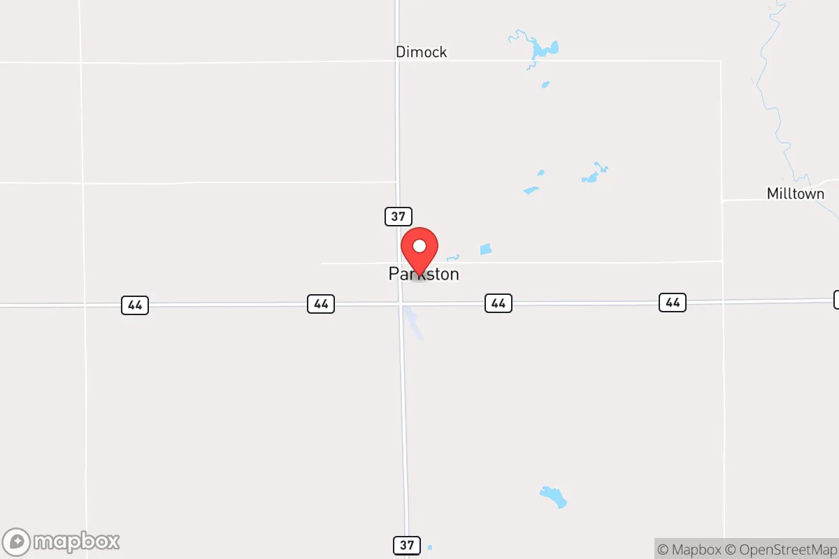
Parkston, South Dakota, sits in a sweet spot for anyone serious about long-term resilience: far enough from major population centers to avoid the worst of cascading collapse, yet close enough to regional infrastructure to make daily life practical. This town of roughly 1,500 people in Hutchinson County offers a combination of agricultural self-sufficiency, low population density, and geographic isolation that appeals to those thinking about civic unrest, supply chain disruptions, or larger-scale disasters. The area's position along the James River valley and its proximity to the Missouri River add natural buffers and resource access that many other Plains towns lack.
Geographic position and natural advantages for long-term security
Parkston's location in southeastern South Dakota places it roughly 70 miles southwest of Sioux Falls and about 90 miles northwest of Sioux City, Iowa. That distance is a strategic asset: you're outside the immediate fallout zone of any major urban target, yet within a half-day drive of regional medical centers, supply hubs, and transportation corridors. The town sits on the edge of the James River Lowlands, a flat, fertile region that historically produced abundant grain and livestock. The Missouri River, with its reservoirs and hydroelectric dams, lies about 40 miles to the west, providing a reliable water source and potential power backup if the grid falters. The surrounding landscape is open prairie with scattered farmsteads, offering excellent lines of sight and minimal cover for anyone approaching—a defensive advantage in a grid-down scenario. The area's low crime rate and strong community ties, typical of small-town South Dakota, mean fewer internal threats compared to urban or suburban environments.
Risks, exposures, and proximity to fallout-relevant landmarks
No location is immune to risk, and Parkston has its share. The most immediate concern is the proximity to the Missouri River dams—specifically Fort Randall Dam and Big Bend Dam, both about 40–50 miles west. While these provide hydroelectric power and water storage, they are also potential targets for sabotage or military strikes in a major conflict. A breach at Fort Randall could flood downstream areas along the Missouri, though Parkston sits on higher ground and is not directly in the floodplain. The Ellsworth Air Force Base near Rapid City, roughly 250 miles west, is a primary nuclear target, but prevailing winds would carry fallout eastward, potentially affecting the western part of the state more than Parkston. The town's distance from major interstates (I-90 runs 30 miles north, I-29 about 50 miles east) reduces the risk of refugee flows or military convoys passing through. However, the area is not entirely isolated—U.S. Highway 18 runs through town, and a rail line carries grain and ethanol, which could become chokepoints during unrest. Tornadoes are a real seasonal threat; the area sits in Tornado Alley's northern fringe, and a direct hit would level most structures. Drought and extreme winter storms are also recurring hazards, testing food storage and heating plans.
Practical resilience for a relocator: food, water, energy, and defensibility
For someone serious about self-sufficiency, Parkston offers tangible advantages. The surrounding farmland produces corn, soybeans, and wheat, and the area has a strong livestock presence—cattle and hogs are common. A relocator with land can tap into local grain supplies for animal feed or direct purchase. The James River provides a surface water source, but it's seasonal and can run low during drought; deeper groundwater wells are the standard for rural properties, with the Dakota Aquifer underlying the region at depths of 200–500 feet. Water quality is generally good, though testing for nitrates from agricultural runoff is wise. The local electrical grid is served by Southeastern Electric Cooperative, which has a decent reliability record, but a backup solar array with battery storage is a smart investment given the area's 200+ sunny days per year. Natural gas is available in town, but rural properties rely on propane or heating oil. Wood heating is feasible but requires access to timber, which is scarce on the open prairie—plan on importing firewood or using corn/pellet stoves. Defensibility is mixed: the open terrain offers clear sightlines but little cover. A property with a perimeter fence, a well-positioned house with a basement, and a good view of approach roads is ideal. The local sheriff's office is small but responsive, and the town's volunteer fire department covers a wide area. In a prolonged crisis, community cooperation will be critical—Parkston's population is aging, and younger families with prepper skills would be valuable assets.
The overall strategic picture for a conservative relocator
Parkston isn't a fortress, but it's a solid base for someone who wants to be prepared without living off-grid in the mountains. The town's isolation from major targets, its agricultural base, and its access to the Missouri River system make it a defensible and sustainable location for weathering short-term disruptions or longer-term societal shifts. The conservative culture of the area—strong church presence, low taxes, minimal government overreach, and a general distrust of federal authority—aligns well with a prepper mindset. The biggest trade-offs are the harsh winters, the tornado risk, and the need to build local relationships before a crisis hits. For a single individual or a family willing to invest in land, water, and energy infrastructure, Parkston offers a realistic path to resilience without the extreme isolation of the Dakotas' western badlands. It's a place where you can live a normal life while quietly preparing for the abnormal.
* Values derived from national, state, county, city and local statistics and may differ in a specific area. Last updated: 2026-04-23T09:36:52.000Z
Narrative content on this page is AI-generated and may contain mistakes. Verify any details that matter before acting on them.
ReloMaps may earn a commission from affiliate links at no extra cost to you.