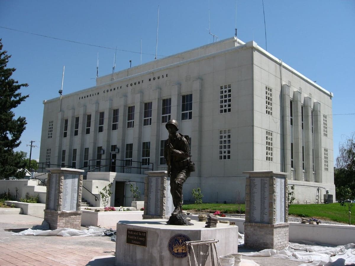
Photo: Wikipedia
Strategic Assessment of Preston, ID
Strong survivability profile. Good buffer from population centers, with manageable environmental and tactical risks.
What does the Strategic Assessment tell us?
Our Strategic Assessment grades tactical survivability of an area. Major population centers, military targets, fallout zones, natural disasters, and border exposure all drive risk — lower exposure means a more defensible position in a crisis.
This is heavily inspired by Joel Skousen's Strategic Relocation book. Highly recommended you checkout the book ($)What does this tell us?
Our Strategic Assessment grades tactical survivability of an area. Major population centers, military targets, fallout zones, natural disasters, and border exposure all drive risk — lower exposure means a more defensible position in a crisis.
This is heavily inspired by Joel Skousen's Strategic Relocation book. Highly recommended you checkout the book ($)Strategic Pillars

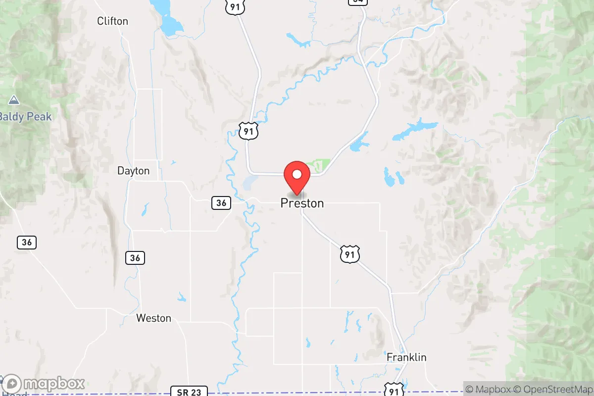
Key Distances
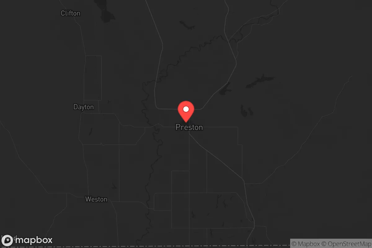
Regional Safe Places
Below is our recommended "safe zones" in Idaho and the surrounding area based on our strategic heuristics. For most people, it's unrealistic to live in a “safe zone” full-time due to work, family or other personal reasons. They tend to be more rural. However, many of these areas are perfect for second homes and retreat properties that double as a vacation home or even a short-term rental.


Important Note: For informational purposes only. This does not mean nothing bad ever happens in the green zones. Please use common sense. This is based on public data and modeled with AI. We tried to take a conservative approach but mistakes happen. We update this regularly as new information becomes available.
Solar Generator Recommendations
Backup power matters more here than in safer locations. We've picked three solar generators across budgets and capacity tiers — start with the budget unit if you only need a few essentials, or step up if you want to run a fridge and HVAC for days at a time.

Jackery Portable Power Station Explorer 300
Budget OptionPower on the Go: Weighing only 11 lbs, it's convenient to set up and store with book-sized foldable solar panels

BLUETTI Portable Power Station AC180
Designed for both indoor and outdoor scenarios, AC180 is highly capable as it has a robost capacity and continuous output power.

EF ECOFLOW DELTA Pro Ultra Power Station
Upgraded PickEcoFlow DELTA Pro Ultra is a whole-home energy system designed to grow with your family. Integrated with the Smart Home Panel 2, it scales to meet your evolving energy needs — keeping your home powered, intelligent, and secure through every stage of life.
We earn a commission, at no additional cost to you.
Strategic Assessment Analysis
Preston, Idaho, sits in a geographic sweet spot that offers genuine strategic depth for those prioritizing resilience and self-sufficiency. Located in Franklin County, roughly 30 miles north of the Utah border and 80 miles north of Salt Lake City, it’s close enough to access major supply chains and medical hubs but far enough to avoid the immediate blast radius of a high-value target like Hill Air Force Base or the Wasatch Front’s population centers. The area’s agricultural base, low population density (around 5,200 residents in the town proper), and position in the Cache Valley create a buffer that many preppers find attractive. For a conservative-leaning relocator worried about civic unrest, supply chain collapse, or mass casualty events, Preston offers a rare combination of isolation and practical access—provided you understand its specific vulnerabilities.
Geographic position and natural advantages for long-term survival
Preston’s location in the Bear River Valley, flanked by the Wasatch Range to the west and the Caribou-Targhee National Forest to the east, provides natural defensibility and resource abundance. The valley floor sits at roughly 4,700 feet elevation, which means four distinct seasons with reliable snowpack for water storage—critical for off-grid living. The Bear River itself runs through the area, and the nearby Cub River and Oneida Narrows Reservoir offer additional surface water sources. For a prepper, this means you’re not dependent on a single municipal well or a fragile pipeline from a distant reservoir. The surrounding mountains also create a natural funnel for game migration (deer, elk, and upland birds), and the agricultural land in the valley supports hay, grain, and livestock operations. Franklin County has a population density of just 12 people per square mile, which drastically reduces the risk of resource competition during a crisis. The nearest interstate (I-15) is 20 miles west, giving you a quick evacuation route to the north (Montana) or south (Utah) without being directly on a major highway corridor that would become a chokepoint during an evacuation.
Risks, exposures, and proximity to fallout-relevant landmarks
No location is immune to risk, and Preston has specific exposures that a strategic relocator must weigh. The most obvious concern is proximity to the Wasatch Front—Salt Lake City, Ogden, and Provo are all within a 90-minute drive. While this distance provides a buffer against a ground-level nuclear detonation or conventional attack on those cities, fallout patterns from a high-yield airburst over Salt Lake City could reach Preston within 4-6 hours under prevailing westerly winds. The Cache Valley’s geography can trap particulate matter, meaning you’d need a well-sealed shelter with HEPA filtration if you’re within 100 miles of a major strike. Additionally, the nearby Malad Summit (I-15) and the railroad lines running through the valley are potential targets for sabotage or disruption during civil unrest. The area also sits near the Wasatch Fault line—while not a high seismic zone, a major earthquake (6.5+) could disrupt roads and utilities for weeks. On the plus side, there are no nuclear power plants within 150 miles, no major military bases closer than Hill AFB (90 miles south), and no chemical storage facilities of national significance. The nearest major fallout-sensitive target is the INL (Idaho National Laboratory) about 120 miles west, which is far enough to avoid direct blast effects but close enough to warrant monitoring during a crisis.
Practical resilience for a relocator: food, water, energy, and defensibility
For a single individual or family looking to establish a resilient homestead, Preston’s practical infrastructure is a mixed bag that requires upfront investment. The town’s water supply comes from the Bear River and local wells, but the municipal system is aging and vulnerable to power outages. A prepper should plan for a private well with a hand pump or solar-powered backup—drilling costs in the valley run $15-$30 per foot, with typical depths of 100-300 feet. Surface water from the Bear River is abundant but requires filtration (sediment, agricultural runoff, and livestock waste are concerns). Food resilience is strong: the Cache Valley is one of Idaho’s top agricultural regions, with local farms producing hay, wheat, corn, and potatoes. The Preston Farmers Market and local CSAs operate seasonally, and the area has several feed stores and co-ops for bulk grains and seeds. For long-term storage, the dry climate (average humidity around 50%) is favorable for root cellars and freeze-dried stores. Energy is a weak point—the grid is served by Rocky Mountain Power, which has experienced rolling blackouts during winter storms and summer heat waves. Solar potential is good (4.5-5.0 peak sun hours per day), but net metering policies in Idaho are less favorable than in neighboring states. A propane generator with a 500-gallon tank is a common backup solution among local preppers. Defensibility is excellent for a rural property: the valley’s open terrain means long sightlines, and the surrounding mountains provide natural chokepoints. However, the town itself is not defensible—it’s a typical small American town with a grid street layout and limited natural barriers. The strategic play is to buy land outside city limits, ideally with a creek or spring, and build a retreat with a southern exposure for passive solar.
The overall strategic picture for Preston is one of calculated trade-offs. It’s not a remote bunker in the Montana wilderness—you’ll have neighbors, a county government, and the occasional tourist passing through on the way to Bear Lake or Yellowstone. But for a conservative relocator who wants to maintain access to modern amenities while building a resilient lifestyle, it’s one of the better options in the Intermountain West. The key is to treat Preston as a base of operations, not a final redoubt. Stockpile supplies, secure your water and energy, and build relationships with local farmers and ranchers. The community is predominantly LDS (Mormon), which means strong social networks and a culture of preparedness—many families already have year’s worth of food storage. The downsides are real: the fallout risk from a Salt Lake City strike, the grid fragility, and the potential for resource competition if a crisis triggers a mass exodus from the Wasatch Front. But if you’re looking for a place that balances isolation with access, agricultural self-sufficiency with modern infrastructure, and conservative values with practical resilience, Preston deserves a serious look. Just don’t expect to be invisible—you’ll be part of a community, and that’s both the strength and the vulnerability of this location.
* Values derived from national, state, county, city and local statistics and may differ in a specific area. Last updated: 2026-04-23T02:12:29.000Z
Narrative content on this page is AI-generated and may contain mistakes. Verify any details that matter before acting on them.
ReloMaps may earn a commission from affiliate links at no extra cost to you.