
Photo: Wikipedia
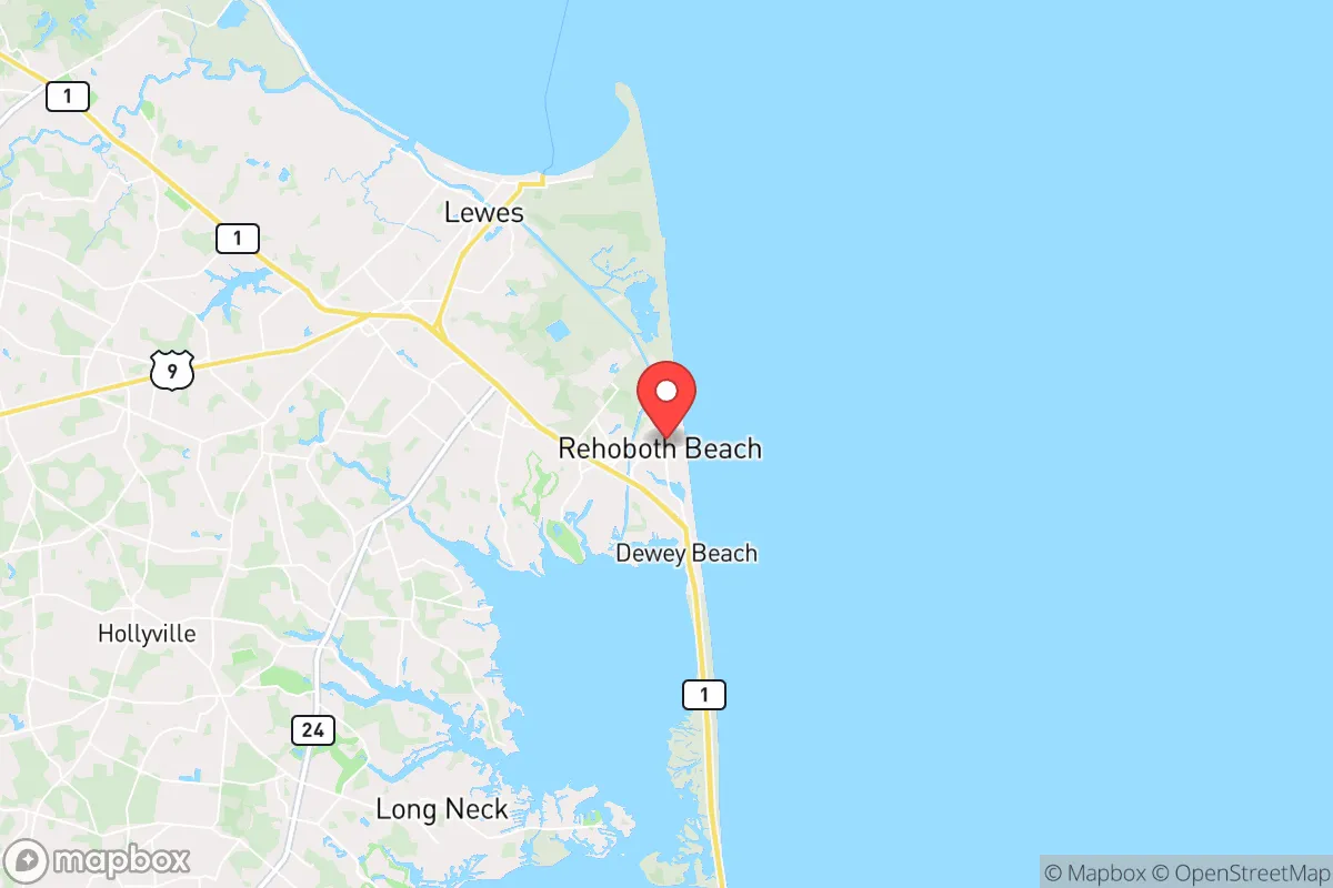
Strategic Assessment of Rehoboth Beach, DE
Multiple tactical vulnerabilities. Population density, target proximity, or disaster risk are likely compounding. A retreat property and exit planning is required.
What does the Strategic Assessment tell us?
Our Strategic Assessment grades tactical survivability of an area. Major population centers, military targets, fallout zones, natural disasters, and border exposure all drive risk — lower exposure means a more defensible position in a crisis.
This is heavily inspired by Joel Skousen's Strategic Relocation book. Highly recommended you checkout the book ($)What does this tell us?
Our Strategic Assessment grades tactical survivability of an area. Major population centers, military targets, fallout zones, natural disasters, and border exposure all drive risk — lower exposure means a more defensible position in a crisis.
This is heavily inspired by Joel Skousen's Strategic Relocation book. Highly recommended you checkout the book ($)Strategic Pillars

Key Distances
Regional Safe Places
Below is our recommended "safe zones" in Delaware and the surrounding area based on our strategic heuristics. For most people, it's unrealistic to live in a “safe zone” full-time due to work, family or other personal reasons. They tend to be more rural. However, many of these areas are perfect for second homes and retreat properties that double as a vacation home or even a short-term rental.


Important Note: For informational purposes only. This does not mean nothing bad ever happens in the green zones. Please use common sense. This is based on public data and modeled with AI. We tried to take a conservative approach but mistakes happen. We update this regularly as new information becomes available.
Solar Generator Recommendations
Backup power matters more here than in safer locations. We've picked three solar generators across budgets and capacity tiers — start with the budget unit if you only need a few essentials, or step up if you want to run a fridge and HVAC for days at a time.

Jackery Portable Power Station Explorer 300
Budget OptionPower on the Go: Weighing only 11 lbs, it's convenient to set up and store with book-sized foldable solar panels

BLUETTI Portable Power Station AC180
Designed for both indoor and outdoor scenarios, AC180 is highly capable as it has a robost capacity and continuous output power.

EF ECOFLOW DELTA Pro Ultra Power Station
Upgraded PickEcoFlow DELTA Pro Ultra is a whole-home energy system designed to grow with your family. Integrated with the Smart Home Panel 2, it scales to meet your evolving energy needs — keeping your home powered, intelligent, and secure through every stage of life.
We earn a commission, at no additional cost to you.
Strategic Assessment Analysis
Rehoboth Beach, Delaware, presents a mixed strategic picture for the conservative prepper or survivalist. Its primary advantages are its relative geographic isolation on a peninsula and its status as a state-level political outlier in a deep-blue region, but these are heavily offset by extreme vulnerability to natural disasters, a single-point-of-failure transportation corridor, and proximity to major population centers that would become chaotic during a collapse scenario. For a relocator prioritizing long-term resilience over beachfront recreation, this area demands a sober, risk-adjusted assessment.
Geographic position and natural advantages for long-term survival
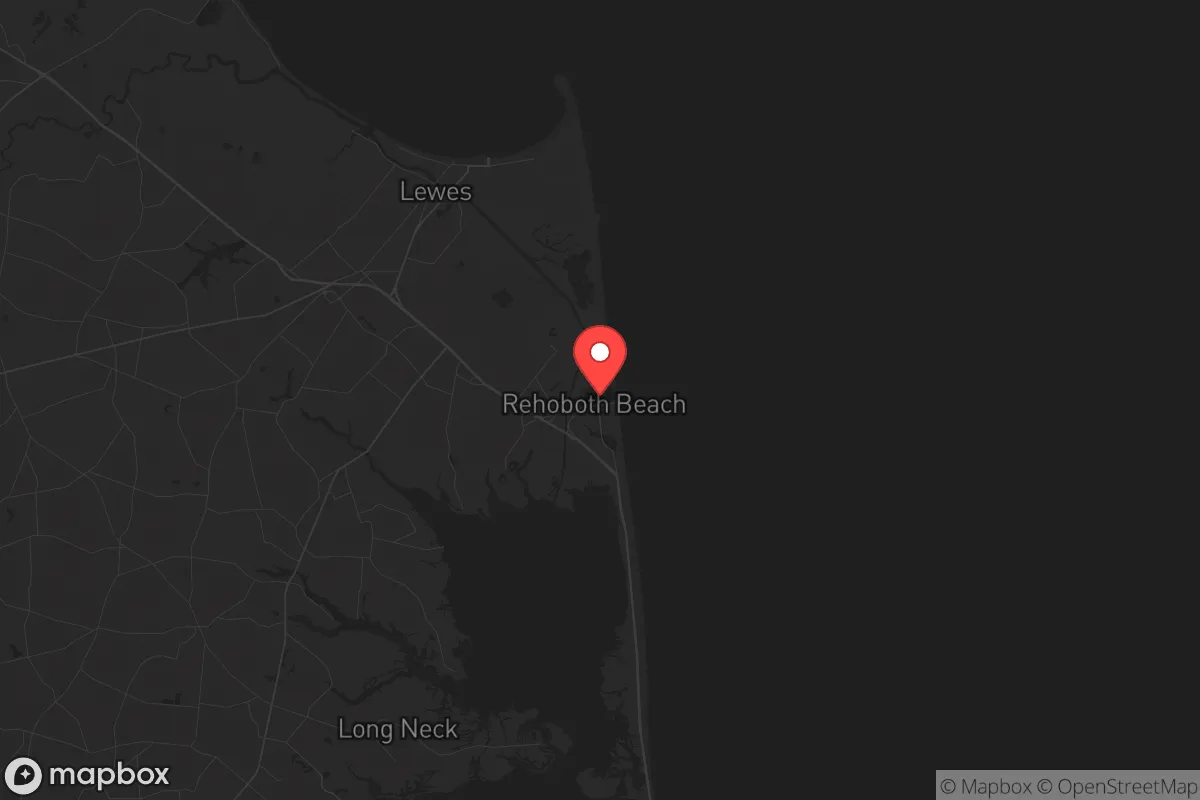
Rehoboth Beach sits on the Atlantic coastal plain of the Delmarva Peninsula, a landmass shared by Delaware, Maryland, and Virginia. This peninsula is a natural choke point: the only land routes in and out are the two-lane Route 1 corridor north to Dover and the Chesapeake Bay Bridge to the west. In a crisis, this isolation cuts both ways. The area is far from the major interstate highways (I-95, I-495) that would become clogged evacuation routes or vectors for looters fleeing Washington, D.C., Baltimore, and Philadelphia. The surrounding Sussex County is the most conservative part of Delaware, with a strong agricultural base—corn, soybeans, poultry—that provides a local food supply not dependent on national trucking networks. The Atlantic Ocean and Delaware Bay offer abundant fishing and crabbing, and the water table is generally high, meaning shallow wells are feasible for those who secure property outside the coastal flood zones. The climate is temperate, with a growing season long enough for subsistence gardening, and the lack of major industrial targets within 30 miles reduces the risk of direct fallout from a nuclear event aimed at Philadelphia or the D.C. metro area.
Risks, exposures, and proximity to fallout-relevant landmarks
The most glaring vulnerability is Rehoboth Beach’s location on a barrier island. The entire town sits at sea level, with the Atlantic Ocean to the east and the Rehoboth Bay to the west. A single Category 3 hurricane or a prolonged nor’easter would inundate the majority of residential and commercial structures, making the area uninhabitable for weeks or months. Storm surge from a major event would also contaminate the freshwater aquifer with saltwater intrusion, a problem that already affects some coastal wells. The town’s only evacuation route, Route 1, is a two-lane road that bottlenecks at the Lewes-Cape May Ferry terminal and the Indian River Inlet Bridge. During a mass evacuation event—whether from a hurricane, a terrorist attack on the nearby Indian River Power Plant, or a nuclear incident at the Salem Generating Station (just 25 miles up the Delaware River in New Jersey)—this road would become impassable within hours. The Salem plant is a pressurized water reactor that has experienced multiple emergency shutdowns; a catastrophic failure there would place Rehoboth Beach directly in the prevailing wind pattern, exposing residents to radioactive fallout. Additionally, the town’s proximity to the Washington-Baltimore-Philadelphia megalopolis means that any societal collapse or civil unrest in those cities would send hundreds of thousands of refugees down the peninsula, overwhelming local resources. The Rehoboth Beach area is a summer tourist destination, meaning its permanent population of roughly 1,500 swells to over 50,000 on peak weekends; in a crisis, those tourists would be stranded without supplies, competing with residents for food, water, and fuel.
Practical resilience for a relocator: food, water, energy, and defensibility
For a relocator serious about self-sufficiency, the practical challenges are significant. Food security is the strongest asset: Sussex County has over 100,000 acres of farmland, and local farmers’ markets operate year-round. Hunting is permitted on public lands, with white-tailed deer and waterfowl abundant. The Atlantic and bay provide year-round fishing, though commercial crabbing is regulated and requires licenses. Water security is a major concern. The municipal water supply comes from the Inland Bays aquifer, which is vulnerable to saltwater intrusion and contamination from septic systems. A prepper would need a private well drilled to at least 200 feet, plus a hand pump or solar-powered backup, and a rainwater catchment system for non-potable use. Energy independence is achievable but expensive. The area has good solar insolation, and net metering is available through Delmarva Power, but grid reliability is poor during storms. A propane generator with a 500-gallon buried tank is the standard backup, but propane deliveries may cease during a regional crisis. Wood heating is viable, but firewood is scarce on the barrier island; properties west of the canal in Lewes or Milton have better access. Defensibility is the weakest point. The flat, open terrain offers no natural cover. The town is a grid of small lots with no standoff distance. A determined group could easily approach any residence. The local police force is small (around 30 officers), and the state police response time from Troop 4 in Georgetown is 20 minutes under ideal conditions. In a widespread collapse, law enforcement would be overwhelmed. The best defensive strategy is to locate inland, west of the Lewes-Rehoboth Canal, on a minimum of 5 acres with a clear field of fire and a single, gated access point. The communities of Angola, Oak Orchard, and Millsboro offer more defensible rural properties while still being within 20 minutes of the coast for fishing access.
The overall strategic picture for Rehoboth Beach is one of high risk for low reward. The natural beauty and conservative local culture are real advantages, but they are outweighed by the area’s extreme vulnerability to hurricanes, storm surge, and saltwater intrusion, its single-point-of-failure evacuation corridor, and its proximity to multiple high-value targets (Philadelphia, Salem nuclear plant, Dover Air Force Base) that would make it a secondary fallout zone or a refugee destination. For a survivalist seeking a true retreat, the Delmarva Peninsula’s interior—around Bridgeville, Seaford, or Laurel—offers better defensibility, deeper groundwater, and less flood risk while still providing access to the same agricultural and fishing resources. Rehoboth Beach itself is best viewed as a temporary resupply point or a fishing outpost, not a primary long-term survival location. If you are set on the area, buy west of the canal, above the 10-foot elevation line, and invest heavily in a private well, solar array, and propane storage. Do not rely on the town’s infrastructure to survive the first 72 hours of any major event.
* Values derived from national, state, county, city and local statistics and may differ in a specific area. Last updated: 2026-04-19T09:44:19.000Z
Narrative content on this page is AI-generated and may contain mistakes. Verify any details that matter before acting on them.
ReloMaps may earn a commission from affiliate links at no extra cost to you.