Photo: Wikipedia
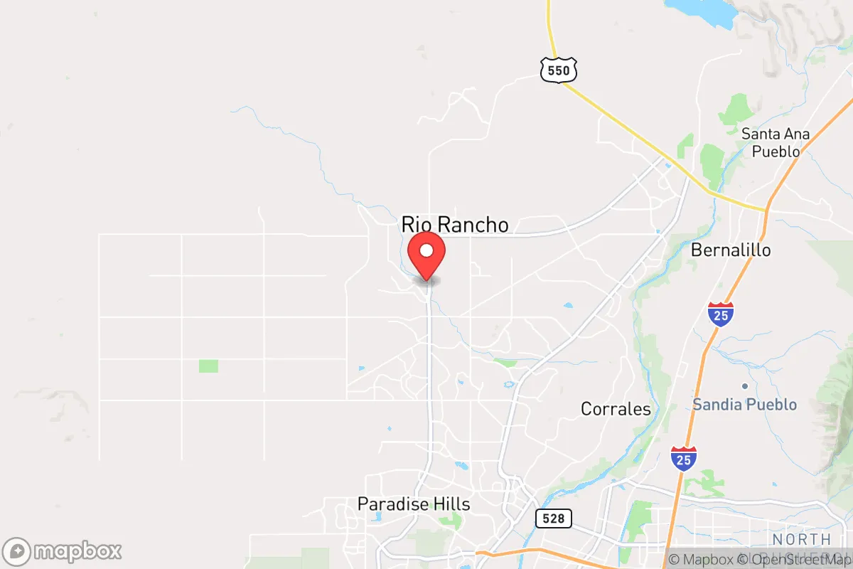
Strategic Assessment of Rio Rancho, NM
Meaningful friction. Expect exposure to either population pressure, blast zones, or natural disaster risk. Consider buying a retreat property.
What does the Strategic Assessment tell us?
Our Strategic Assessment grades tactical survivability of an area. Major population centers, military targets, fallout zones, natural disasters, and border exposure all drive risk — lower exposure means a more defensible position in a crisis.
This is heavily inspired by Joel Skousen's Strategic Relocation book. Highly recommended you checkout the book ($)What does this tell us?
Our Strategic Assessment grades tactical survivability of an area. Major population centers, military targets, fallout zones, natural disasters, and border exposure all drive risk — lower exposure means a more defensible position in a crisis.
This is heavily inspired by Joel Skousen's Strategic Relocation book. Highly recommended you checkout the book ($)Strategic Pillars

Key Distances
Regional Safe Places
Below is our recommended "safe zones" in New Mexico and the surrounding area based on our strategic heuristics. For most people, it's unrealistic to live in a “safe zone” full-time due to work, family or other personal reasons. They tend to be more rural. However, many of these areas are perfect for second homes and retreat properties that double as a vacation home or even a short-term rental.

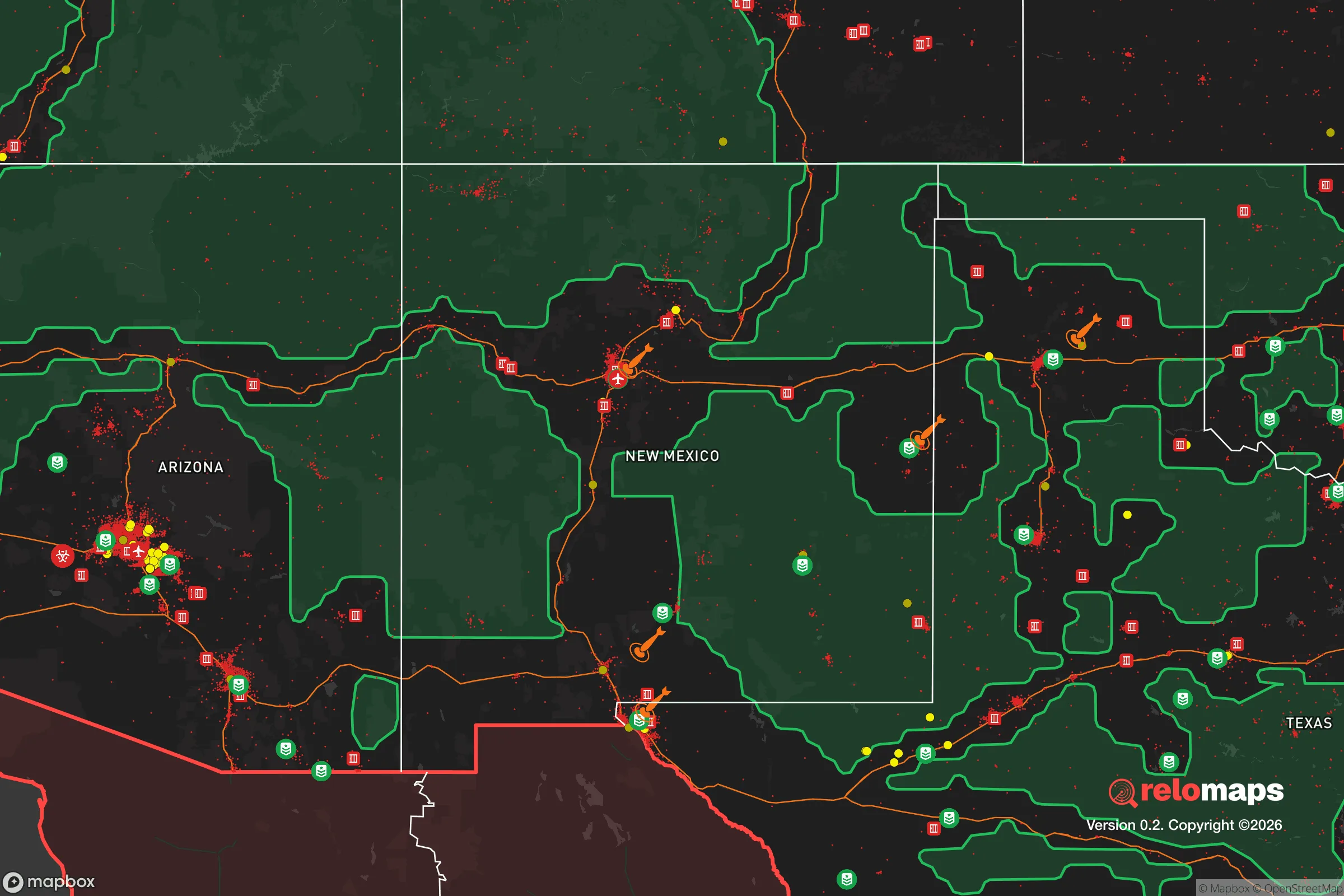
Important Note: For informational purposes only. This does not mean nothing bad ever happens in the green zones. Please use common sense. This is based on public data and modeled with AI. We tried to take a conservative approach but mistakes happen. We update this regularly as new information becomes available.
Solar Generator Recommendations
Backup power matters more here than in safer locations. We've picked three solar generators across budgets and capacity tiers — start with the budget unit if you only need a few essentials, or step up if you want to run a fridge and HVAC for days at a time.

Jackery Portable Power Station Explorer 300
Budget OptionPower on the Go: Weighing only 11 lbs, it's convenient to set up and store with book-sized foldable solar panels

BLUETTI Portable Power Station AC180
Designed for both indoor and outdoor scenarios, AC180 is highly capable as it has a robost capacity and continuous output power.

EF ECOFLOW DELTA Pro Ultra Power Station
Upgraded PickEcoFlow DELTA Pro Ultra is a whole-home energy system designed to grow with your family. Integrated with the Smart Home Panel 2, it scales to meet your evolving energy needs — keeping your home powered, intelligent, and secure through every stage of life.
We earn a commission, at no additional cost to you.
Strategic Assessment Analysis
Rio Rancho offers a surprisingly resilient strategic position for those prioritizing self-reliance and distance from major population centers, sitting roughly 15 miles northwest of Albuquerque but separated by the Rio Grande and the Sandia Mountains. This buffer zone, combined with its location on the high desert mesa at roughly 5,300 feet elevation, provides natural defensibility and a lower risk profile than most Sunbelt suburbs. For the prepper or survivalist, the key advantage is that Rio Rancho is not a primary target—it lacks major military installations, nuclear facilities, or critical infrastructure that would draw first-strike attention or civil unrest spillover from a collapsing Albuquerque.
Geographic position and natural advantages for long-term stability
The city sits on the Pajarito Plateau, a volcanic mesa that rises several hundred feet above the Rio Grande Valley, giving it a natural elevation advantage over the floodplain and the urban corridor along I-25. This topography means Rio Rancho is less vulnerable to flash flooding than areas closer to the river, and the dry climate (roughly 9 inches of annual precipitation) reduces mold, rot, and infrastructure degradation that plague wetter regions. The surrounding landscape is open high desert with sparse population density—to the west lies the Ojito Wilderness and vast BLM land, to the north the Jemez Mountains, and to the south the Rio Puerco Valley. This creates a natural buffer zone of tens of thousands of acres of undeveloped land, making it difficult for any large-scale civil disturbance to approach the city without warning. The Sandia Mountains to the east also block line-of-sight from Albuquerque, reducing the risk of stray gunfire or rioters moving directly into the area.
Risks, exposures, and proximity to fallout-relevant landmarks
The most significant strategic liability is Rio Rancho's proximity to the Sandia National Laboratories and Kirtland Air Force Base, both located roughly 20 miles southeast in Albuquerque. Sandia is a primary nuclear weapons design and engineering facility, making it a potential target for state-level adversaries or domestic terror groups seeking to disrupt the nuclear stockpile. While a direct strike on Sandia would likely devastate Albuquerque itself, fallout patterns from a conventional attack or accidental detonation could drift northwest toward Rio Rancho depending on prevailing winds (which are typically from the southwest). Additionally, the city sits about 60 miles south of Los Alamos National Laboratory, another high-value nuclear site. For the survivalist, this means Rio Rancho is within the secondary fallout zone for two major nuclear facilities, though the distance and mountain barriers reduce the immediate lethal radius. The city also lies near the Rio Grande Rift, a seismic zone capable of producing magnitude 6.0-7.0 earthquakes, though such events are rare and the local building codes are modern (post-1990s construction).
Practical resilience for a relocator: food, water, energy, and defensibility
Water is the most critical concern. Rio Rancho draws its municipal supply from the Santa Fe Group aquifer, which is being depleted faster than it recharges—the city has already implemented tiered water rates and conservation mandates. For a prepper, this means a well is not a viable option for most residential lots (the water table is 300-500 feet deep and drilling costs are high), so rainwater catchment and storage become essential. The city receives only 9 inches of rain annually, so a 1,000-gallon tank system would fill slowly; a more realistic strategy is to secure a property with a shared domestic well or to plan for trucked water delivery in a grid-down scenario. Food resilience is better: the high desert climate supports dryland farming of beans, squash, and corn, and the growing season runs from April to October. Local farmers' markets and the Rio Rancho Farmers Market provide seasonal produce, but year-round food storage is necessary. Energy is a mixed picture—the area averages 280 sunny days per year, making solar panels highly effective, but the grid is served by PNM (Public Service Company of New Mexico), which has experienced rolling blackouts during summer heat waves. A solar-plus-battery system with a backup generator is a wise investment. Defensibility is strong: the city's layout is a grid of cul-de-sacs and arterial roads with limited entry points from the west and south, and the surrounding mesa provides natural observation points. The local police department is well-funded and has a SWAT team, but for a survivalist, the key is that the city's low population density (roughly 1,200 people per square mile) means you can secure a property with a 360-degree view of approach routes.
The overall strategic picture for Rio Rancho is one of moderate risk with high reward for those willing to invest in infrastructure. It is not a bug-out location—it is a suburban city with a Walmart, a hospital, and a school system—but it offers a defensible position with natural buffers, low crime rates (violent crime is roughly half the national average), and a conservative-leaning population that values self-reliance. The primary threats are water scarcity, proximity to nuclear targets, and the potential for civil unrest spilling over from Albuquerque during a collapse. For a relocator with a prepper mindset, Rio Rancho works best as a long-term base where you can build a resilient homestead while maintaining access to medical care, supplies, and community. The key is to buy a property with a well (if possible), install solar, and establish relationships with local ranchers and farmers before any crisis hits. It is not a perfect sanctuary, but in a world of increasing instability, it offers a realistic balance of security and sustainability that few other Southwestern suburbs can match.
* Values derived from national, state, county, city and local statistics and may differ in a specific area. Last updated: 2026-05-01T18:32:10.000Z
Narrative content on this page is AI-generated and may contain mistakes. Verify any details that matter before acting on them.
ReloMaps may earn a commission from affiliate links at no extra cost to you.