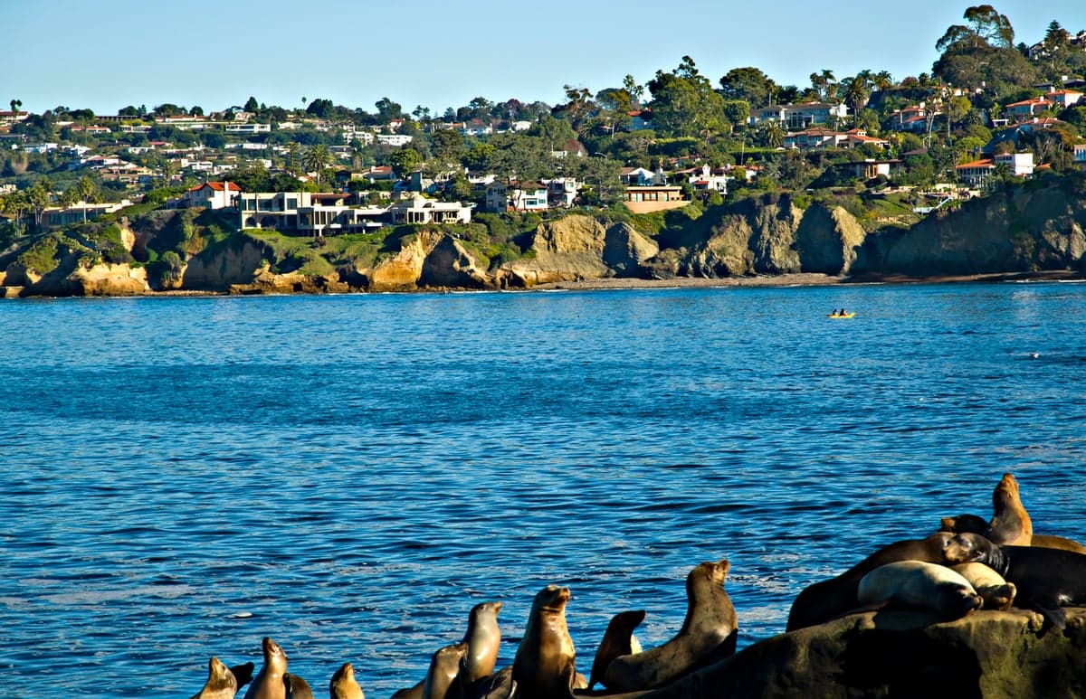
Photo: Wikipedia
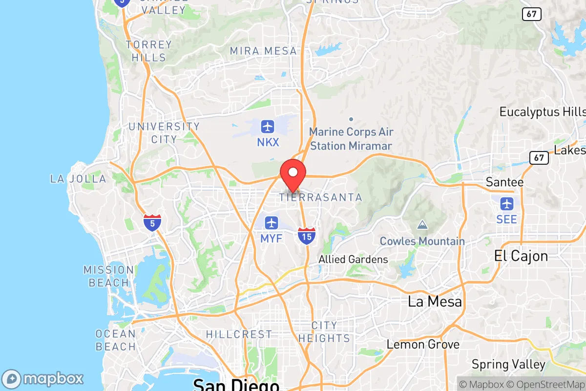
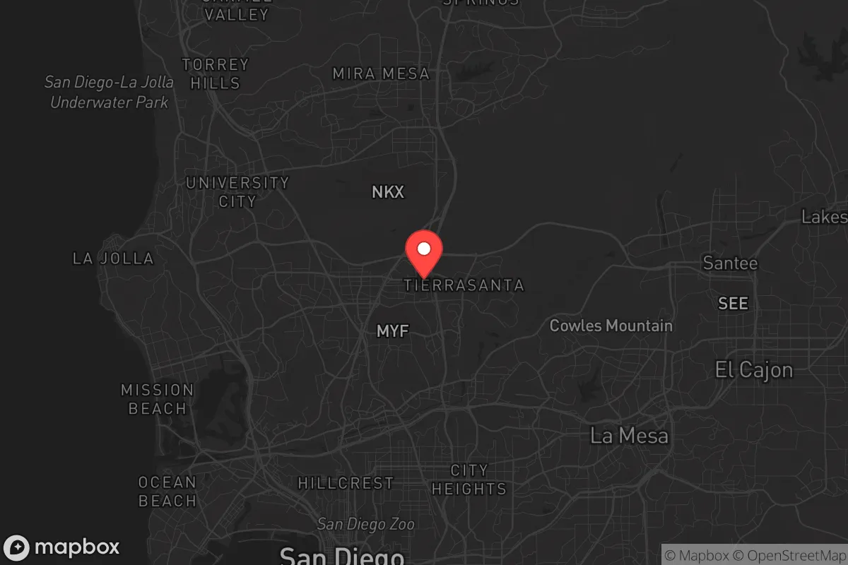
Strategic Assessment of San Diego, CA
High tactical risk. This location is likely close to major population centers, strategic targets, or sits in a high-disaster corridor. A retreat property and careful exit planning is required.
What does the Strategic Assessment tell us?
Our Strategic Assessment grades tactical survivability of an area. Major population centers, military targets, fallout zones, natural disasters, and border exposure all drive risk — lower exposure means a more defensible position in a crisis.
This is heavily inspired by Joel Skousen's Strategic Relocation book. Highly recommended you checkout the book ($)What does this tell us?
Our Strategic Assessment grades tactical survivability of an area. Major population centers, military targets, fallout zones, natural disasters, and border exposure all drive risk — lower exposure means a more defensible position in a crisis.
This is heavily inspired by Joel Skousen's Strategic Relocation book. Highly recommended you checkout the book ($)Strategic Pillars

Key Distances
Regional Safe Places
Below is our recommended "safe zones" in California and the surrounding area based on our strategic heuristics. For most people, it's unrealistic to live in a “safe zone” full-time due to work, family or other personal reasons. They tend to be more rural. However, many of these areas are perfect for second homes and retreat properties that double as a vacation home or even a short-term rental.


Important Note: For informational purposes only. This does not mean nothing bad ever happens in the green zones. Please use common sense. This is based on public data and modeled with AI. We tried to take a conservative approach but mistakes happen. We update this regularly as new information becomes available.
Solar Generator Recommendations
Backup power matters more here than in safer locations. We've picked three solar generators across budgets and capacity tiers — start with the budget unit if you only need a few essentials, or step up if you want to run a fridge and HVAC for days at a time.

Jackery Portable Power Station Explorer 300
Budget OptionPower on the Go: Weighing only 11 lbs, it's convenient to set up and store with book-sized foldable solar panels

BLUETTI Portable Power Station AC180
Designed for both indoor and outdoor scenarios, AC180 is highly capable as it has a robost capacity and continuous output power.

EF ECOFLOW DELTA Pro Ultra Power Station
Upgraded PickEcoFlow DELTA Pro Ultra is a whole-home energy system designed to grow with your family. Integrated with the Smart Home Panel 2, it scales to meet your evolving energy needs — keeping your home powered, intelligent, and secure through every stage of life.
We earn a commission, at no additional cost to you.
Strategic Assessment Analysis
San Diego presents a paradox for the strategic relocator: it offers some of the most defensible natural terrain and logistical advantages on the West Coast, yet sits directly in the shadow of one of the highest-value target zones in the continental United States. For the prepper or survivalist looking at long-term stability, this city is less a sanctuary and more a high-stakes gamble—its geographic blessings are real, but they come with exposure to threats that most inland locations simply do not face. The key question is whether the area’s natural resilience can outweigh its proximity to what would be ground zero in any major conflict or cascading disaster.
Geographic position and natural advantages for long-term survival
San Diego’s location is a double-edged sword, but the positive edge is sharp. The city is hemmed in by the Pacific Ocean to the west, the Otay and Laguna Mountains to the east, and the Mexican border to the south. This creates a natural choke point: there are only a handful of major routes in and out—Interstate 5, Interstate 8, and State Route 94—which means any relocator with a plan can monitor or control movement into the region far more easily than in sprawling metro areas like Los Angeles or Phoenix. The climate is arguably the most forgiving in the lower 48 for off-grid living: average temperatures range from the mid-50s to mid-70s year-round, with no hard freezes, no deep snow, and a growing season that lasts 365 days. For anyone serious about food security, that means you can keep crops in the ground every month of the year without expensive greenhouses or heating. The region also sits on the Peninsular Ranges batholith, meaning bedrock is close to the surface in many areas—good for well drilling and root cellars, bad for large-scale excavation. The Pacific provides an almost limitless protein source if you know how to fish or forage the shoreline, and the offshore kelp forests are among the most productive marine ecosystems on the planet. For a relocator thinking in decades, not months, San Diego’s natural endowment is genuinely world-class.
Risks, exposures, and proximity to fallout-relevant landmarks
Here is where the analysis turns sobering. San Diego County is home to Camp Pendleton, Naval Base San Diego, Naval Air Station North Island, Marine Corps Air Station Miramar, and Space and Naval Warfare Systems Command (SPAWAR). That concentration of military infrastructure makes the entire metro area a tier-one target in any peer-state conflict. A single nuclear warhead detonated over downtown or the naval base would produce fallout that could blanket the entire county within hours, depending on wind direction. The prevailing onshore flow from the Pacific would push contamination east into the mountains and desert, meaning even rural East County areas like Alpine or Julian are not safe from particulate drift. Beyond military targets, San Diego has the San Onofre Nuclear Generating Station (now decommissioned but still storing spent fuel) about 50 miles up the coast, and the South Bay Power Plant site near the border. A conventional attack or sabotage at either location could release radioactive material without a nuclear detonation. For the prepper, the calculus is brutal: you are living in a region that would be among the first hit in any major conflict, and the fallout footprint would be large enough to make evacuation nearly impossible. The border itself is another risk vector—during a collapse scenario, mass migration from Tijuana (population roughly 2 million) could overwhelm local resources and law enforcement within days. San Diego’s natural chokepoints work both ways: they keep people in as much as they keep threats out.
Practical resilience for a relocator: food, water, energy, and defensibility
On the practical side, San Diego offers some genuine advantages for the prepared individual, but they require significant upfront investment. Water is the single biggest vulnerability for the entire region. The city imports roughly 85% of its water from the Colorado River and the State Water Project via the San Diego Aqueduct. If that supply is disrupted by earthquake, sabotage, or political collapse, the county has only about 6 to 12 months of stored water in reservoirs like San Vicente, El Capitan, and Lower Otay. A relocator serious about resilience needs to secure a private well—and that means buying property in the backcountry, not the coastal strip. Well depths in East County typically run 200 to 600 feet, and drilling costs can hit $15,000 to $30,000. Energy is more promising: San Diego has the highest solar insolation of any major U.S. city, and net metering policies (though weakening) still make rooftop solar a solid investment. Pair that with a lithium battery bank and a backup propane generator, and you can keep a household running through grid outages that may last weeks after a major quake or cyberattack. Food production is where the region truly shines. The growing season never stops, and the local farmers’ market network is robust even in normal times. For the prepper, the goal should be to secure land with a south-facing slope, good drainage, and access to a perennial water source—properties in the Ramona, Valley Center, or Fallbrook areas fit this profile. Defensibility is mixed. The coastal plain is densely populated and hard to secure; the backcountry offers more standoff distance, but the terrain is rugged and fire-prone. Wildfires are a recurring threat—the 2003 Cedar Fire and 2007 Witch Creek Fire each destroyed over 1,000 homes—so any defensible property must have a cleared perimeter, fire-resistant roofing, and a dedicated water supply for firefighting. For a small group or family, a well-prepared homestead in the inland valleys is viable; for a lone individual, the cost and labor may be prohibitive.
The overall strategic picture for San Diego is one of high reward paired with extreme risk. If you are willing to invest heavily in water independence, solar energy, and fire-hardened infrastructure, and if you accept that you are living in a Tier 1 target zone, the area can support a self-sufficient lifestyle that few other coastal locations can match. But for the relocator whose primary goal is to avoid the fallout—literal and figurative—of a collapsing system, San Diego is likely too exposed. The military targets alone make it a place to pass through, not settle down. If you are looking for a location that balances natural resilience with strategic obscurity, look inland to the Sierra foothills or the high desert of Arizona. San Diego is a beautiful place to visit, a defensible place to ride out a short-term crisis, but a dangerous place to bet your family’s future on in a long-term collapse scenario.
* Values derived from national, state, county, city and local statistics and may differ in a specific area. Last updated: 2026-04-24T09:52:25.000Z
Narrative content on this page is AI-generated and may contain mistakes. Verify any details that matter before acting on them.
ReloMaps may earn a commission from affiliate links at no extra cost to you.