
Photo: Wikipedia
Strategic Assessment of Shepherdsville, KY
Meaningful friction. Expect exposure to either population pressure, blast zones, or natural disaster risk. Consider buying a retreat property.
What does the Strategic Assessment tell us?
Our Strategic Assessment grades tactical survivability of an area. Major population centers, military targets, fallout zones, natural disasters, and border exposure all drive risk — lower exposure means a more defensible position in a crisis.
This is heavily inspired by Joel Skousen's Strategic Relocation book. Highly recommended you checkout the book ($)What does this tell us?
Our Strategic Assessment grades tactical survivability of an area. Major population centers, military targets, fallout zones, natural disasters, and border exposure all drive risk — lower exposure means a more defensible position in a crisis.
This is heavily inspired by Joel Skousen's Strategic Relocation book. Highly recommended you checkout the book ($)Strategic Pillars

Key Distances
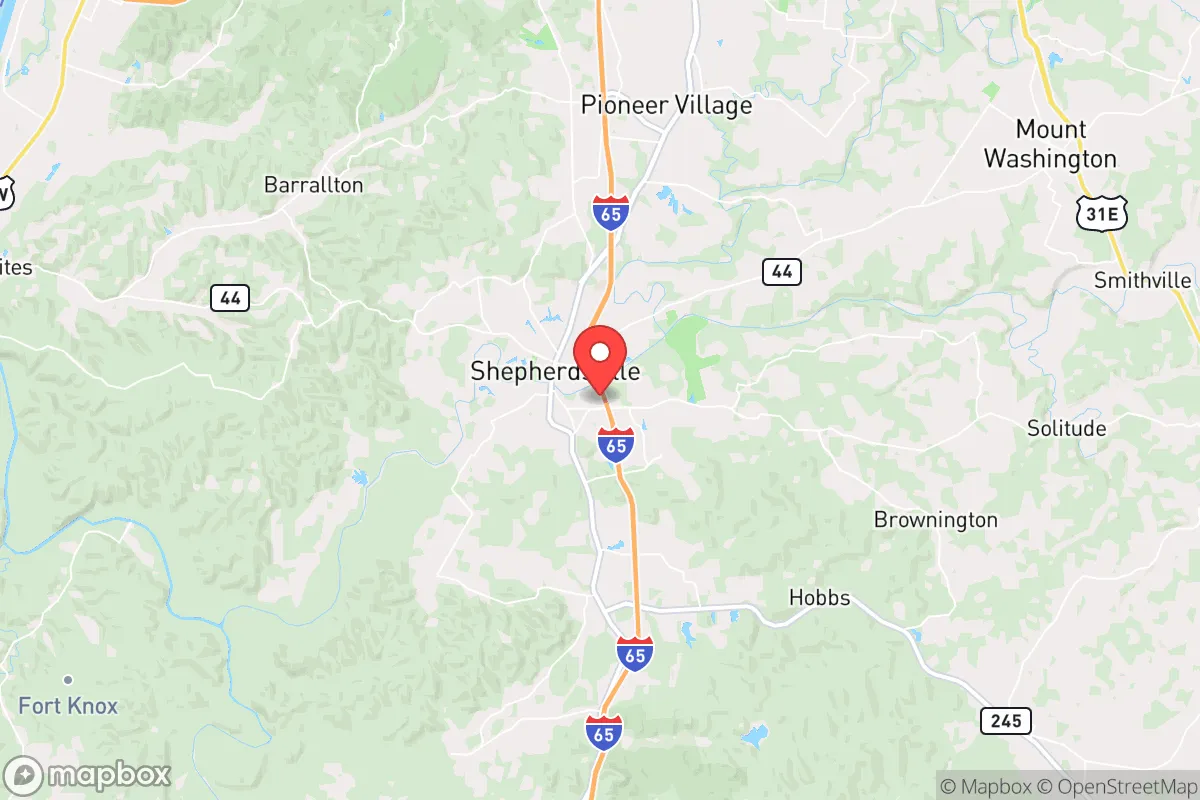
Regional Safe Places
Below is our recommended "safe zones" in Kentucky and the surrounding area based on our strategic heuristics. For most people, it's unrealistic to live in a “safe zone” full-time due to work, family or other personal reasons. They tend to be more rural. However, many of these areas are perfect for second homes and retreat properties that double as a vacation home or even a short-term rental.


Important Note: For informational purposes only. This does not mean nothing bad ever happens in the green zones. Please use common sense. This is based on public data and modeled with AI. We tried to take a conservative approach but mistakes happen. We update this regularly as new information becomes available.
Solar Generator Recommendations
Backup power matters more here than in safer locations. We've picked three solar generators across budgets and capacity tiers — start with the budget unit if you only need a few essentials, or step up if you want to run a fridge and HVAC for days at a time.

Jackery Portable Power Station Explorer 300
Budget OptionPower on the Go: Weighing only 11 lbs, it's convenient to set up and store with book-sized foldable solar panels

BLUETTI Portable Power Station AC180
Designed for both indoor and outdoor scenarios, AC180 is highly capable as it has a robost capacity and continuous output power.

EF ECOFLOW DELTA Pro Ultra Power Station
Upgraded PickEcoFlow DELTA Pro Ultra is a whole-home energy system designed to grow with your family. Integrated with the Smart Home Panel 2, it scales to meet your evolving energy needs — keeping your home powered, intelligent, and secure through every stage of life.
We earn a commission, at no additional cost to you.
Strategic Assessment Analysis
Shepherdsville, Kentucky, offers a strategic balance of proximity to critical infrastructure and a buffer from the most severe fallout zones, making it a viable relocation option for those prioritizing resilience. Located roughly 25 miles south of Louisville along the I-65 corridor, the city sits in a position that allows access to urban resources while maintaining a degree of separation from the chaos that could accompany a major metropolitan collapse. The area’s natural topography—rolling hills, the Salt River, and surrounding hardwood forests—provides a modest but real defensive advantage, though it is not a remote wilderness retreat. For a prepper or survivalist mindset, Shepherdsville represents a middle-ground play: close enough to leverage supply chains and medical facilities, yet far enough to avoid being caught in the immediate blast radius of a Louisville-centered event.
Geographic position and natural advantages for long-term survival
Shepherdsville’s location in Bullitt County places it within the Ohio River Valley, a region historically valued for its fertile soil, abundant water, and temperate climate. The Salt River, which runs through the city, is a perennial water source that could be critical for off-grid living, though it requires treatment for consumption. The surrounding terrain is a mix of karst limestone and rolling hills, offering natural drainage and some concealment from main roads. The area sits outside the 50-mile radius of any major nuclear target—Louisville’s primary strategic assets (Fort Knox, the UPS Worldport, and the Ohio River locks) are the closest high-value targets, but Shepherdsville is far enough south to avoid the worst of a ground burst’s thermal pulse. The local climate supports year-round gardening, with a growing season of roughly 180 days, and the proximity to the Knobs region provides hardwood timber for fuel and construction. For a relocator, this means the land itself can sustain a low-tech lifestyle, provided one secures acreage away from the I-65 noise.
Risks, exposures, and proximity to fallout-relevant landmarks
The primary risk for Shepherdsville is its position along I-65, a major north-south evacuation route that would become a chokepoint during any regional crisis. A mass evacuation from Louisville—whether from a natural disaster, civil unrest, or a radiological event—would funnel tens of thousands of people directly through Bullitt County, likely overwhelming local resources and creating a security hazard. The city itself is within 30 miles of Fort Knox, a military installation that could become a target or a staging ground for federal forces during a national emergency. Additionally, the UPS Worldport at Louisville International Airport is a critical logistics hub; a disruption there could trigger cascading supply chain failures, but its proximity also means Shepherdsville is downwind of any airborne contamination from a Louisville-area incident. The Ohio River, while a water asset, also carries risk: upstream industrial facilities in Louisville and Cincinnati could release toxic plumes in a disaster. For the prepper, these exposures mean that a Shepherdsville retreat must include a plan for self-sufficiency during a 30- to 90-day isolation window, as outside help may be delayed or nonexistent.
Practical resilience for a relocator: food, water, energy, and defensibility
Shepherdsville’s practical resilience hinges on its access to decentralized resources. The Bullitt County area has a strong agricultural base, with local farms, farmers’ markets, and a cooperative extension service that supports small-scale food production. The Salt River and its tributaries provide surface water, but well drilling is common in the region, with average depths of 100-200 feet yielding reliable groundwater. For energy, the area is served by the Louisville Gas and Electric grid, which is vulnerable to regional blackouts, but the prevalence of rural properties means solar and generator setups are feasible without drawing attention. Defensibility is moderate: the terrain offers some natural cover, but the lack of a natural barrier (like a mountain range) means a determined group could approach from multiple directions. The local population is predominantly conservative and rural-minded, which may foster a community-oriented response to crisis, but it also means that newcomers should expect to build trust over time. For a single individual or family, the key is to secure property with a good well, a south-facing slope for solar, and at least 10 acres to buffer against neighbors and road noise. The city itself has a Walmart, a Tractor Supply, and several hardware stores, but these would be stripped within hours of a major event, so pre-positioning supplies is non-negotiable.
Overall, Shepherdsville presents a credible option for the strategic relocator who wants to stay within a day’s drive of urban resources while maintaining a defensible, self-sufficient homestead. It is not a bug-out location for a total collapse scenario—the I-65 corridor is too exposed, and the proximity to Louisville is a double-edged sword. But for those preparing for a protracted period of civil unrest, economic instability, or a localized disaster, the area offers a realistic balance of access and isolation. The key is to treat Shepherdsville as a base of operations, not a fortress: build community ties, stockpile for 90 days, and have a secondary retreat plan for a full-scale evacuation. In a world where the margins are shrinking, this Bullitt County town buys you time, water, and a fighting chance.
* Values derived from national, state, county, city and local statistics and may differ in a specific area. Last updated: 2026-04-21T11:15:08.000Z
Narrative content on this page is AI-generated and may contain mistakes. Verify any details that matter before acting on them.
ReloMaps may earn a commission from affiliate links at no extra cost to you.