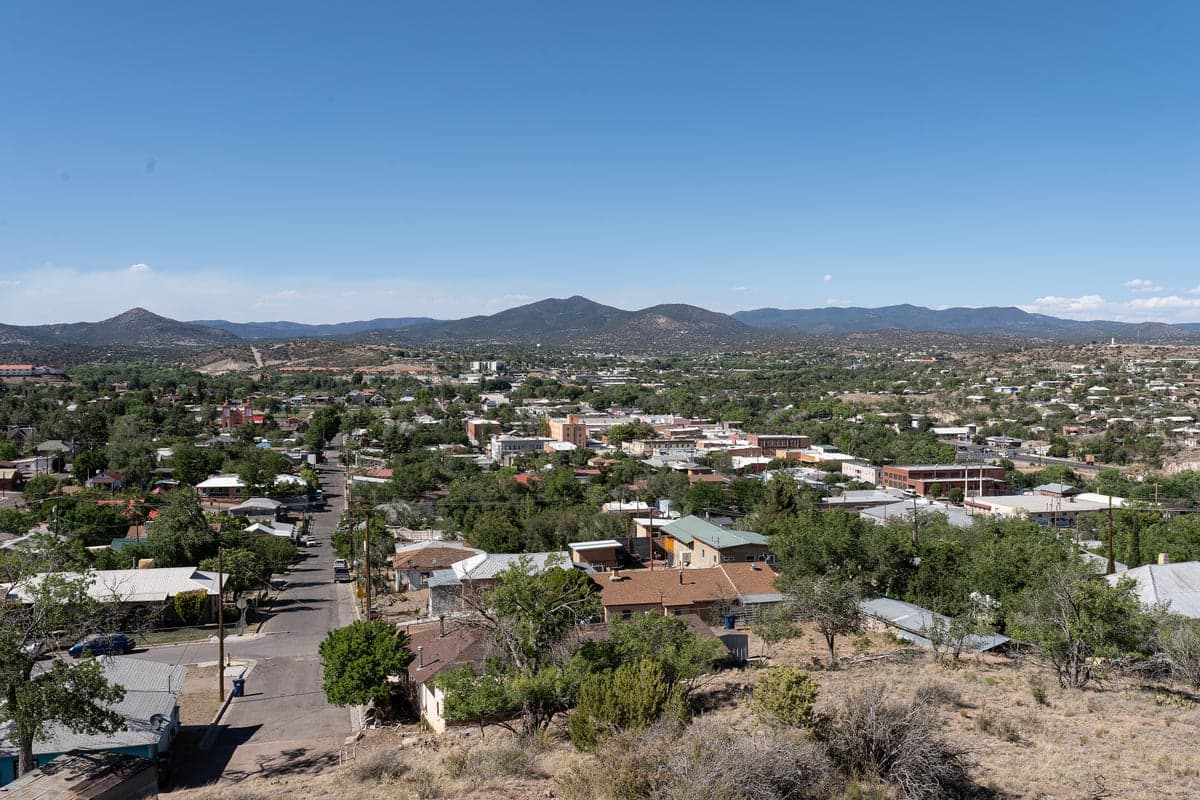
Photo: Wikipedia
Strategic Assessment of Silver City, NM
Workable tactical position. Some exposure to population density or targets, but generally defensible in a crisis.
What does the Strategic Assessment tell us?
Our Strategic Assessment grades tactical survivability of an area. Major population centers, military targets, fallout zones, natural disasters, and border exposure all drive risk — lower exposure means a more defensible position in a crisis.
This is heavily inspired by Joel Skousen's Strategic Relocation book. Highly recommended you checkout the book ($)What does this tell us?
Our Strategic Assessment grades tactical survivability of an area. Major population centers, military targets, fallout zones, natural disasters, and border exposure all drive risk — lower exposure means a more defensible position in a crisis.
This is heavily inspired by Joel Skousen's Strategic Relocation book. Highly recommended you checkout the book ($)Strategic Pillars

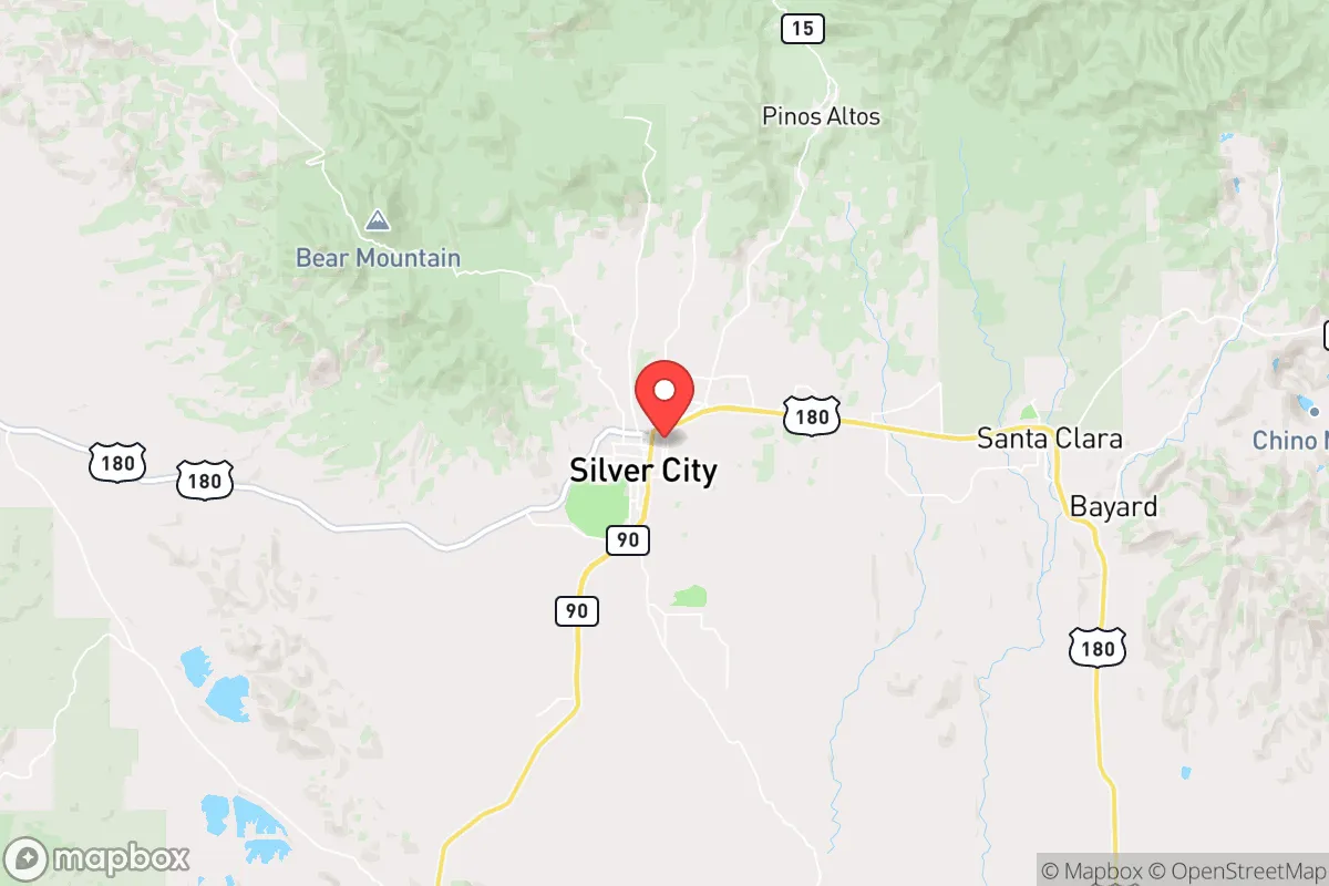
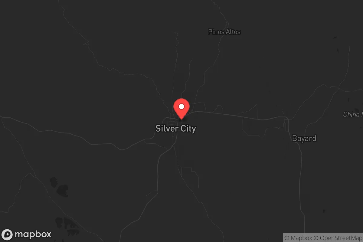
Key Distances
Regional Safe Places
Below is our recommended "safe zones" in New Mexico and the surrounding area based on our strategic heuristics. For most people, it's unrealistic to live in a “safe zone” full-time due to work, family or other personal reasons. They tend to be more rural. However, many of these areas are perfect for second homes and retreat properties that double as a vacation home or even a short-term rental.

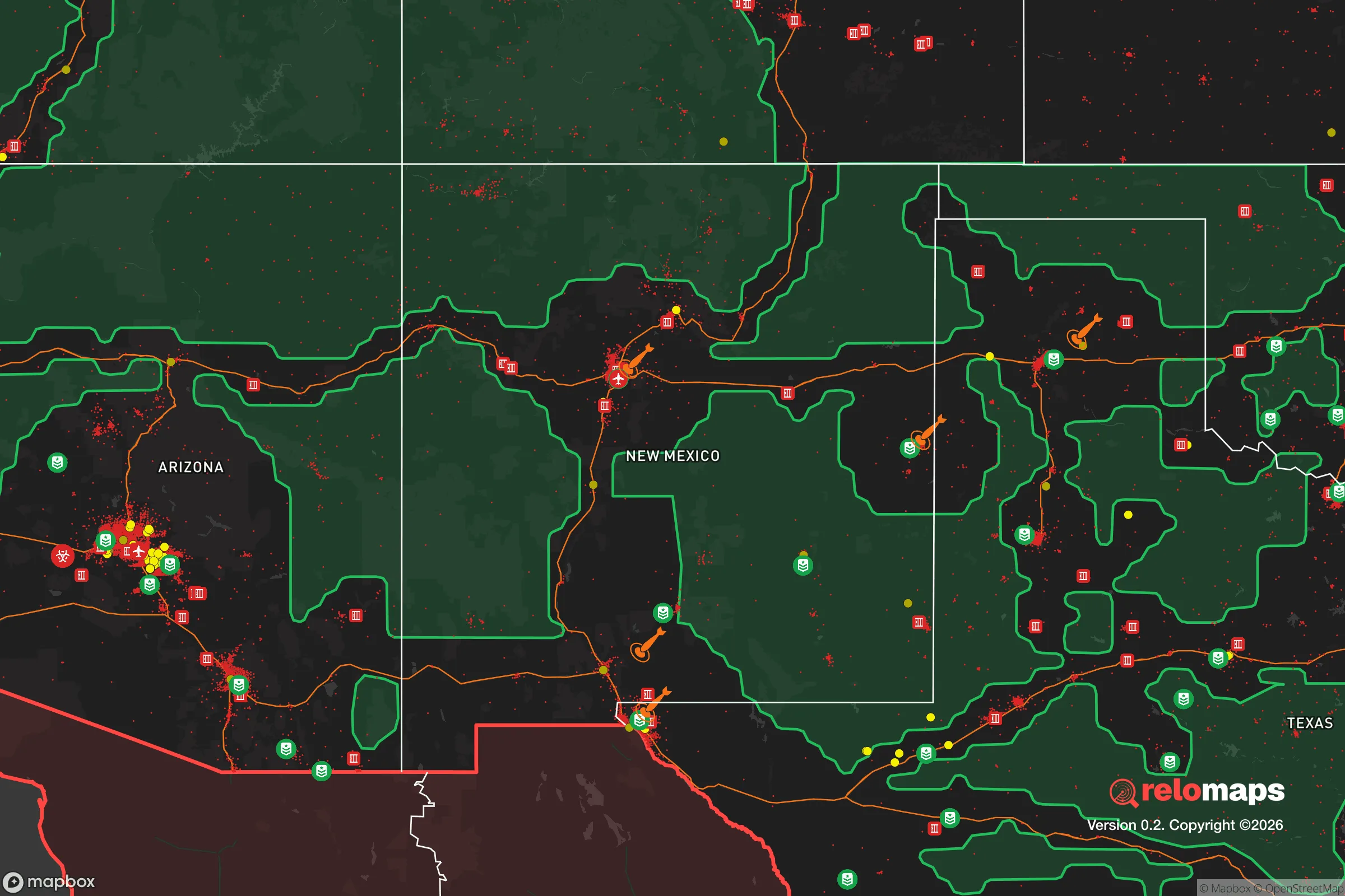
Important Note: For informational purposes only. This does not mean nothing bad ever happens in the green zones. Please use common sense. This is based on public data and modeled with AI. We tried to take a conservative approach but mistakes happen. We update this regularly as new information becomes available.
Solar Generator Recommendations
Backup power matters more here than in safer locations. We've picked three solar generators across budgets and capacity tiers — start with the budget unit if you only need a few essentials, or step up if you want to run a fridge and HVAC for days at a time.

Jackery Portable Power Station Explorer 300
Budget OptionPower on the Go: Weighing only 11 lbs, it's convenient to set up and store with book-sized foldable solar panels

BLUETTI Portable Power Station AC180
Designed for both indoor and outdoor scenarios, AC180 is highly capable as it has a robost capacity and continuous output power.

EF ECOFLOW DELTA Pro Ultra Power Station
Upgraded PickEcoFlow DELTA Pro Ultra is a whole-home energy system designed to grow with your family. Integrated with the Smart Home Panel 2, it scales to meet your evolving energy needs — keeping your home powered, intelligent, and secure through every stage of life.
We earn a commission, at no additional cost to you.
Strategic Assessment Analysis
Silver City, New Mexico, offers a compelling strategic position for those prioritizing resilience and self-sufficiency, sitting at roughly 5,900 feet in the Gila National Forest and over 150 miles from any major metropolitan center like El Paso or Albuquerque. This isolation is its primary asset: it is far enough from likely targets of civil unrest or mass casualty events to provide a genuine buffer, yet retains access to essential infrastructure via US-180 and NM-90. For a conservative-leaning relocator concerned with national instability, Silver City represents a low-signature, high-autonomy environment where the geography itself enforces a degree of separation from the chaos of urban collapse.
Geographic isolation and natural defensive advantages
Silver City’s location in the southwestern corner of New Mexico places it in a natural fortress of mountains and high desert. The town sits in the foothills of the Pinos Altos Range, with the Gila Wilderness—the nation’s first designated wilderness area—directly to the north and west. This terrain creates a natural funnel: only a handful of two-lane roads lead into the area, all of which are easily monitored and, in a worst-case scenario, defensible. The nearest interstate is I-10, about 90 miles south near Lordsburg, but that corridor is a major drug and human trafficking route; Silver City’s position off the beaten path means it avoids the transient criminal element that plagues border-adjacent highways. The elevation provides a moderate climate—summers rarely exceed 95°F, and winters see occasional snow but rarely prolonged freezes—which reduces the stress on off-grid systems like solar power and water storage. For a prepper, this is a significant advantage: you can maintain year-round food production and energy independence without extreme weather events.
Risks, exposures, and proximity to fallout-relevant landmarks
No location is without risk, and Silver City has specific exposures that a strategic relocator must weigh. The most immediate concern is its proximity to the U.S.-Mexico border—about 60 miles as the crow flies—which brings periodic border security operations and cartel activity in remote areas. While Silver City itself is not a hotspot for cartel violence, the surrounding national forest and BLM land are used for smuggling corridors, meaning a relocator should be prepared for occasional encounters with armed groups or law enforcement operations. Additionally, the area sits near the Gila Cliff Dwellings National Monument and the Gila River, which are popular with hikers but also attract transient populations. On the fallout side, the nearest obvious target is the White Sands Missile Range (about 120 miles east), which is a military installation with potential strategic value, but the prevailing winds blow eastward, reducing direct fallout risk. The Waste Isolation Pilot Plant (WIPP) near Carlsbad is roughly 200 miles east, and while it stores nuclear waste, a catastrophic release is unlikely to affect Silver City due to distance and wind patterns. The real risk here is not a single event but the cumulative effect of border instability and the potential for mass migration events that could overwhelm local resources.
Practical resilience for a relocator: food, water, energy, and defensibility
For a serious prepper, Silver City offers a strong baseline for self-sufficiency. Water is the critical factor: the area averages only 14 inches of annual rainfall, but the Gila River and its tributaries provide surface water, and the local aquifer is reliable for wells. Many properties in the surrounding county (Grant County) have access to deep wells, and rainwater catchment is feasible with proper storage. The growing season is about 180 days, allowing for warm-season crops like corn, beans, and squash, plus cold-hardy greens in spring and fall. The Gila National Forest offers abundant game—mule deer, javelina, turkey, and occasional elk—but hunting pressure is moderate, so a family with a garden and a hunting plan can achieve meaningful food security. Energy is straightforward: the area averages over 280 sunny days per year, making solar power highly viable. Off-grid solar setups are common, and local contractors are accustomed to installing battery banks and inverters. Defensibility is excellent: the terrain is rugged, with natural chokepoints on the roads, and the community is small (roughly 10,000 in town, 28,000 in the county) with a strong rural culture. Neighbors tend to be self-reliant and armed, and the local sheriff’s office is responsive but not overbearing. The biggest practical challenge is medical access: the nearest trauma center is in Las Cruces (2.5 hours), and the local hospital (Gila Regional Medical Center) is small. A relocator should plan for serious medical emergencies as a self-managed risk.
The overall strategic picture for Silver City is one of trade-offs: it offers genuine isolation, defensible terrain, and a climate that supports off-grid living, but it sits near a volatile border and lacks the medical infrastructure of a larger city. For a conservative individual or family looking to ride out national instability—whether from civil unrest, economic collapse, or mass casualty events—this area provides a strong foundation if you are willing to accept the logistical burdens of remote living. The key is to arrive with a plan: secure water rights, invest in solar and battery storage, and build relationships with the local ranching and mining community (the area still has active copper mining). Silver City is not a bug-out location for a weekend; it is a long-term homesteading play for those who understand that resilience is built, not bought. If you can handle the isolation and the border proximity, this is one of the better strategic bets in the Southwest.
* Values derived from national, state, county, city and local statistics and may differ in a specific area. Last updated: 2026-05-01T11:10:40.000Z
Narrative content on this page is AI-generated and may contain mistakes. Verify any details that matter before acting on them.
ReloMaps may earn a commission from affiliate links at no extra cost to you.