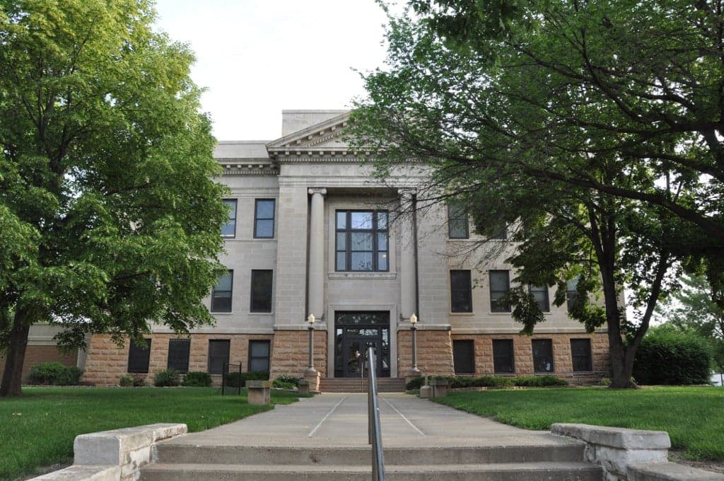
Photo: Wikipedia
Strategic Assessment of Clay County
Strong survivability profile. Good buffer from population centers, with manageable environmental and tactical risks.
What does the Strategic Assessment tell us?
Our Strategic Assessment grades tactical survivability of an area. Major population centers, military targets, fallout zones, natural disasters, and border exposure all drive risk — lower exposure means a more defensible position in a crisis.
This is heavily inspired by Joel Skousen's Strategic Relocation book. Highly recommended you checkout the book ($)What does this tell us?
Our Strategic Assessment grades tactical survivability of an area. Major population centers, military targets, fallout zones, natural disasters, and border exposure all drive risk — lower exposure means a more defensible position in a crisis.
This is heavily inspired by Joel Skousen's Strategic Relocation book. Highly recommended you checkout the book ($)Strategic Pillars

Key Distances
Strategic Assessment Analysis
Clay County, South Dakota, offers a compelling strategic profile for the relocation-minded reader prioritizing resilience and self-sufficiency, largely due to its position along the Missouri River and its distance from major metropolitan and industrial targets. The county’s seat, Vermillion, anchors a region that balances agricultural productivity with a low population density, providing a buffer against the cascading failures that can affect densely populated corridors. For a family or individual assessing long-term security, Clay County presents a mix of genuine geographic advantages and manageable, localized risks that warrant a close look.
Geographic position and natural advantages for long-term security
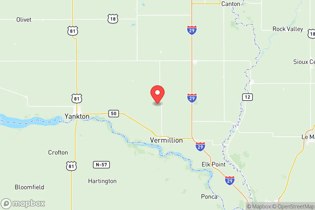
Clay County’s primary strategic asset is its location in the southeastern corner of South Dakota, nestled against the Nebraska border and the Missouri River. The river provides a reliable, large-volume freshwater source—a critical factor for any resilience plan. The county sits within the Missouri River Valley, which offers fertile soils for small-scale agriculture and a temperate climate that supports a growing season long enough for staple crops like corn, soybeans, and garden vegetables. The terrain is predominantly rolling plains and river bluffs, which provide natural drainage and reduce the risk of widespread flooding outside the immediate floodplain. Vermillion, the county seat and home to the University of South Dakota, is roughly 40 miles south of Sioux Falls and 70 miles north of Sioux City, Iowa—close enough for supply runs but far enough to avoid the immediate fallout and chaos that would likely engulf those urban centers in a major disruption. The county’s position also places it outside the direct path of most major interstate highways (I-29 runs just east, but the county itself is not a transit corridor), which reduces the risk of being overrun by refugee flows or becoming a target for looting. The Missouri River itself acts as a natural defensive barrier to the west, while the open plains to the east and north offer good visibility and multiple escape routes if needed.
Risks, exposures, and proximity to fallout-relevant landmarks
While Clay County is far from the highest-risk zones, it is not without exposure. The most significant man-made risk comes from the Fort Randall Dam and Powerhouse, located roughly 30 miles west of Vermillion on the Missouri River. This hydroelectric facility is a critical piece of regional infrastructure; a failure or targeted disruption could cause downstream flooding and a loss of grid power for a wide area. Additionally, the Yankton Sioux Tribe’s reservation borders the county to the west, and while not a direct threat, the area’s proximity to tribal lands could introduce jurisdictional complexities during a crisis. The Union Pacific Railroad mainline runs through Vermillion, carrying hazardous materials—including crude oil and chemicals—through the heart of the county. A derailment or spill could contaminate local water sources or soil, though the risk is low-probability. On the natural hazard side, the county is in Tornado Alley, with peak season from May to June. The flat terrain offers little shelter from severe storms, and a direct hit on Vermillion or the smaller towns of Beresford (partially in Clay County) and Wakonda could be devastating. Flooding along the Missouri River is a recurring concern, as seen in the 2011 and 2019 floods that inundated low-lying areas near the river. However, most residential and agricultural land sits above the 100-year floodplain. The county’s distance from major military targets—Ellsworth Air Force Base near Rapid City is over 300 miles away, and Offutt Air Force Base near Omaha is about 100 miles south—means it is unlikely to be a primary nuclear target, though fallout from a strike on Offutt could drift into the region depending on wind patterns.
Practical resilience for a relocator: food, water, energy, and defensibility
For a relocator focused on practical self-sufficiency, Clay County offers several strong points. Water security is excellent: the Missouri River is a year-round, high-volume source, and the county’s groundwater aquifers are generally reliable. Vermillion’s municipal water system draws from the river, but a private well on higher ground would provide an independent supply. Food production is viable, with the county’s agricultural base meaning local farms, farmers’ markets, and the Vermillion Area Farmers Market provide fresh produce and meat during the growing season. The University of South Dakota’s agricultural extension programs also offer resources for learning small-scale farming and food preservation. Energy resilience is moderate. The grid is connected to the larger Midcontinent Independent System Operator (MISO) network, which is stable but vulnerable to cascading failures. Solar potential is good—the region averages over 200 sunny days per year—and wind is a consistent resource, making small-scale wind turbines a viable supplement. Wood for heating is available from the Missouri River bluffs and nearby state parks like Clay County Park and Spirit Mound Historic Prairie, but it is not abundant enough for long-term reliance without careful management. Defensibility is a mixed bag. The open terrain makes it easy to see approaching threats, but it also offers little cover. Vermillion’s population of roughly 11,000 means a small, tight-knit community where neighbors know each other—a social asset for mutual aid. However, the county’s lack of natural chokepoints (like mountain passes or dense forests) means that a determined group could move through the area relatively easily. The presence of the university also means a transient population that could become a liability during a prolonged crisis, as students may lack local ties and survival skills. For a family, the best approach would be to secure a property on the bluffs overlooking the river, with a well, solar panels, and a large garden, while maintaining good relations with local farmers and the county’s emergency management office.
The overall strategic picture for Clay County is one of moderate resilience with clear trade-offs. It is not a hardened bunker location, but it is a solid choice for someone who wants a balance of access to resources (water, food, community) and distance from the highest-risk zones. The county’s greatest strengths—its river, its agricultural base, and its low population density—are offset by its exposure to tornadoes, railroad hazards, and the potential for fallout from distant but significant targets. For a relocator who is serious about preparedness and willing to invest in off-grid infrastructure, Clay County offers a viable, livable option that avoids the extremes of both urban vulnerability and remote isolation. The key is to be proactive: secure a property with defensible features, build local networks, and maintain a flexible plan for evacuation if the risks from the Missouri River or the railroad ever materialize. In a world of increasing uncertainty, Clay County is a place where a prepared family can reasonably expect to weather most storms—natural or man-made—with a good chance of coming out the other side intact.

* Values derived from national, state, county, city and local statistics and may differ in a specific area. Last updated: 2026-07-30T03:34:58.000Z
Narrative content on this page is AI-generated and may contain mistakes. Verify any details that matter before acting on them.
ReloMaps may earn a commission from affiliate links at no extra cost to you.

