
Strategic Assessment of Walworth County
Deep buffer from population centers and strategic targets. Low natural disaster risk and minimal exposure to border or coastal threats.
What does the Strategic Assessment tell us?
Our Strategic Assessment grades tactical survivability of an area. Major population centers, military targets, fallout zones, natural disasters, and border exposure all drive risk — lower exposure means a more defensible position in a crisis.
This is heavily inspired by Joel Skousen's Strategic Relocation book. Highly recommended you checkout the book ($)What does this tell us?
Our Strategic Assessment grades tactical survivability of an area. Major population centers, military targets, fallout zones, natural disasters, and border exposure all drive risk — lower exposure means a more defensible position in a crisis.
This is heavily inspired by Joel Skousen's Strategic Relocation book. Highly recommended you checkout the book ($)Strategic Pillars

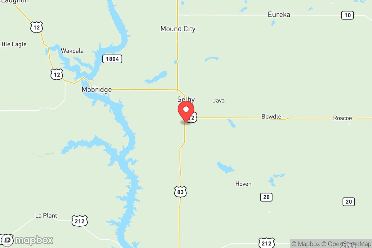
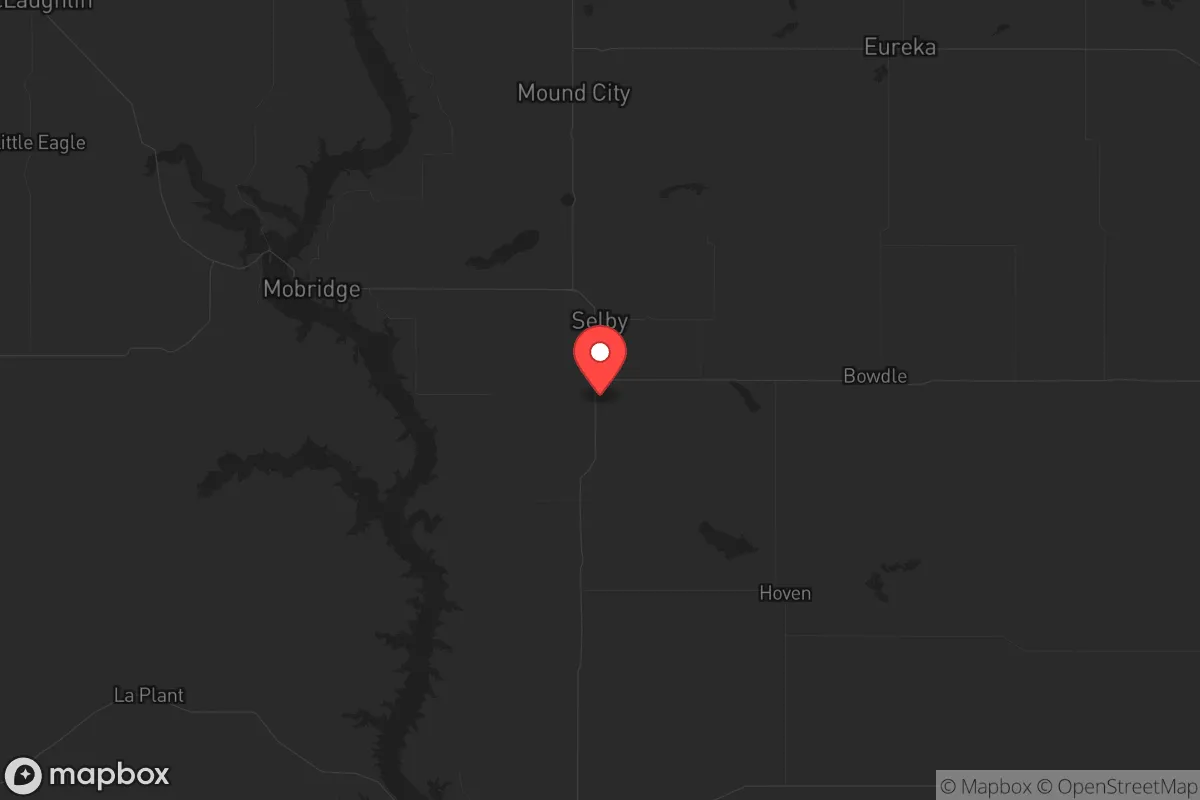
Key Distances
Strategic Assessment Analysis
Walworth County, South Dakota, offers a compelling strategic position for those prioritizing resilience and self-sufficiency, largely due to its low population density and distance from major metropolitan targets. Located in the north-central part of the state, the county’s seat, Selby, and the largest town, Mobridge, sit along the Missouri River, providing a critical water resource that is rare in the Great Plains. For a relocator with a survivalist mindset, this area’s combination of agricultural capacity, sparse population, and relative isolation from high-risk zones like the Bakken oil fields or the Minneapolis-St. Paul corridor makes it a viable long-term haven, though it demands careful planning for supply chains and community integration.
Geographic position and natural advantages for long-term security
Walworth County’s geography is defined by the Missouri River, which forms its western border and offers a reliable water source—a non-negotiable asset for any off-grid or semi-self-sufficient setup. The county sits roughly 150 miles from the nearest interstate highway (I-94), reducing the likelihood of refugee flows during a crisis. The surrounding landscape is rolling prairie and farmland, with the town of Mobridge acting as a modest hub for supplies and medical care via the Mobridge Regional Hospital. The area’s agricultural base—primarily wheat, corn, and cattle—means that local food production is feasible, and the county’s low population (around 5,000 residents) limits competition for resources. The presence of Lake Oahe, a massive reservoir created by the Oahe Dam, provides both a water buffer and a potential fishing resource, though the dam itself is a critical infrastructure point that could be a target in a conflict scenario. For a relocator, the key advantage is the ability to establish a homestead with access to water and arable land, far from the coastal and urban centers that would likely see the worst fallout from civil unrest or a mass casualty event.
Risks, exposures, and proximity to fallout-relevant landmarks
While Walworth County is remote, it is not immune to risks. The most significant exposure is the Oahe Dam, located just south of the county line in neighboring Dewey County. This hydroelectric dam powers much of the region and, if compromised—whether by sabotage, natural disaster, or targeted attack—could cause catastrophic flooding along the Missouri River, directly threatening Mobridge and Selby. Additionally, the county sits within 200 miles of the Bakken oil fields in North Dakota, a high-value industrial zone that could attract military or terrorist attention. The nearest major military installation is Ellsworth Air Force Base near Rapid City, about 180 miles southwest, which could become a staging ground or target during a conflict. For a prepper, the proximity to these landmarks means that a collapse scenario could bring secondary effects—such as displaced populations from Rapid City or Bismarck—though the county’s low population density and limited road network (primarily US Highway 12 and South Dakota Highway 20) would slow any influx. The lack of a major refinery or port within 100 miles is a net positive, as it reduces the risk of industrial accidents or targeted strikes. However, the county’s reliance on diesel and propane for heating and farming equipment means that fuel disruptions would hit hard, making stored fuel and alternative energy sources critical.
Practical resilience for a relocator: food, water, energy, and defensibility
For a single individual or family looking to relocate, Walworth County offers a mixed bag of resilience factors. Water is the strongest asset: the Missouri River and Lake Oahe provide year-round access, though treatment or filtration will be necessary for drinking. The county’s groundwater is generally good, but well drilling is expensive and requires permits. Food security is achievable through small-scale farming or hunting—deer, pheasant, and waterfowl are abundant—but the short growing season (roughly 120 days) limits crop diversity. The local economy is tied to agriculture, so bartering with neighbors for grain or livestock is a realistic strategy. Energy is a weak point: the grid is vulnerable to winter storms, and the nearest major power substation is in Selby, which could be a single point of failure. Solar panels are viable given the region’s sunny climate, but wind turbines may be impractical due to maintenance needs. Defensibility is high due to the low population and open terrain—you can see threats coming from miles away—but the lack of natural cover (few forests, mostly flat farmland) means that a prepared homestead with a good perimeter and line of sight is essential. The town of Glenham, with a population under 100, offers a model for a tight-knit community where mutual aid is possible, but newcomers should expect a cautious reception from locals who value self-reliance. Stockpiling ammunition, medical supplies, and tools is advised, as the nearest major retail hub is Aberdeen, 90 miles east, which would be a long drive in a crisis.
The overall strategic picture for Walworth County is one of calculated trade-offs. It is not a fortress—the Oahe Dam and reliance on external fuel sources are genuine vulnerabilities—but it offers a rare combination of water security, agricultural potential, and isolation from the high-risk corridors of the East and West Coasts. For a conservative-leaning relocator who values community, self-sufficiency, and a slower pace of life, this area provides a viable base for weathering civil unrest or a mass casualty event, provided you are willing to invest in off-grid infrastructure and build relationships with the existing population. The key is to treat it as a long-term project: secure a property with river access, diversify your energy sources, and establish a network with neighbors in Mobridge or Selby before a crisis hits. In a world where urban centers are increasingly fragile, Walworth County stands out as a quiet, defensible option—but only for those who prepare for its specific challenges.
* Values derived from national, state, county, city and local statistics and may differ in a specific area. Last updated: 2026-05-09T19:29:46.000Z
Narrative content on this page is AI-generated and may contain mistakes. Verify any details that matter before acting on them.
ReloMaps may earn a commission from affiliate links at no extra cost to you.