
Photo: Wikipedia
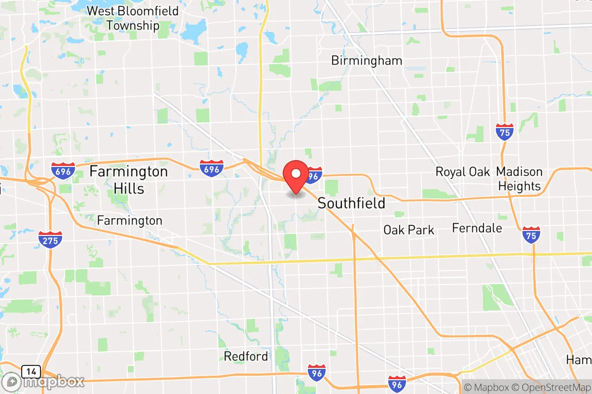
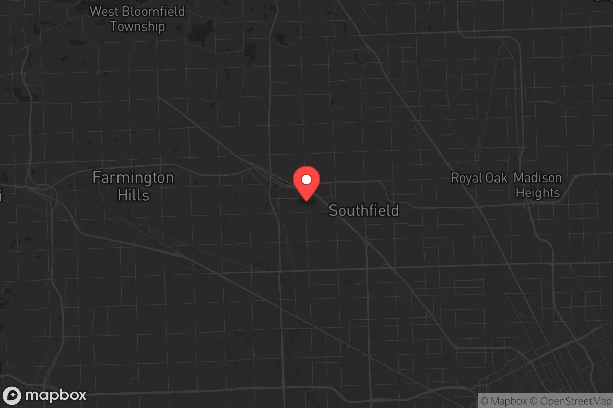
Strategic Assessment of Southfield, MI
Multiple tactical vulnerabilities. Population density, target proximity, or disaster risk are likely compounding. A retreat property and exit planning is required.
What does the Strategic Assessment tell us?
Our Strategic Assessment grades tactical survivability of an area. Major population centers, military targets, fallout zones, natural disasters, and border exposure all drive risk — lower exposure means a more defensible position in a crisis.
This is heavily inspired by Joel Skousen's Strategic Relocation book. Highly recommended you checkout the book ($)What does this tell us?
Our Strategic Assessment grades tactical survivability of an area. Major population centers, military targets, fallout zones, natural disasters, and border exposure all drive risk — lower exposure means a more defensible position in a crisis.
This is heavily inspired by Joel Skousen's Strategic Relocation book. Highly recommended you checkout the book ($)Strategic Pillars

Key Distances
Regional Safe Places
Below is our recommended "safe zones" in Michigan and the surrounding area based on our strategic heuristics. For most people, it's unrealistic to live in a “safe zone” full-time due to work, family or other personal reasons. They tend to be more rural. However, many of these areas are perfect for second homes and retreat properties that double as a vacation home or even a short-term rental.


Important Note: For informational purposes only. This does not mean nothing bad ever happens in the green zones. Please use common sense. This is based on public data and modeled with AI. We tried to take a conservative approach but mistakes happen. We update this regularly as new information becomes available.
Solar Generator Recommendations
Backup power matters more here than in safer locations. We've picked three solar generators across budgets and capacity tiers — start with the budget unit if you only need a few essentials, or step up if you want to run a fridge and HVAC for days at a time.

Jackery Portable Power Station Explorer 300
Budget OptionPower on the Go: Weighing only 11 lbs, it's convenient to set up and store with book-sized foldable solar panels

BLUETTI Portable Power Station AC180
Designed for both indoor and outdoor scenarios, AC180 is highly capable as it has a robost capacity and continuous output power.

EF ECOFLOW DELTA Pro Ultra Power Station
Upgraded PickEcoFlow DELTA Pro Ultra is a whole-home energy system designed to grow with your family. Integrated with the Smart Home Panel 2, it scales to meet your evolving energy needs — keeping your home powered, intelligent, and secure through every stage of life.
We earn a commission, at no additional cost to you.
Strategic Assessment Analysis
Southfield, Michigan, sits in a precarious but potentially strategic position for the conservative prepper or survivalist. Its location within Oakland County, roughly 15 miles northwest of downtown Detroit, offers a mix of suburban infrastructure and proximity to rural escape routes, but the area’s core vulnerabilities—dense population, reliance on fragile supply chains, and proximity to major urban targets—demand a hard-nosed assessment. For a relocator weighing long-term resilience against the chaos of civic unrest or a major disaster, Southfield is a staging ground, not a fortress; it offers advantages in logistics and community resources, but only if you’re willing to accept the risks of being within striking distance of a major metropolitan area.
Geographic position and natural advantages for a survivalist relocator
Southfield’s geography is defined by its position in the southeastern Michigan corridor, a region that benefits from the Great Lakes’ moderating climate and abundant freshwater. The city itself sits on relatively flat, well-drained terrain, with the Rouge River and its tributaries running through the area—providing a surface water source that, while not pristine, is a viable backup for filtration. The region’s natural advantages are real: the Great Lakes hold roughly 20% of the world’s surface freshwater, and the surrounding Oakland County has a mix of woodlands, small lakes, and agricultural land within a 30-minute drive. For a relocator, this means you’re not in a desert or a floodplain; you have options for hunting, foraging, and off-grid water collection if the grid goes down. The area’s four-season climate also provides a natural barrier to year-round mobility for large, disorganized groups—winter snow and ice can slow down any mass movement, which is a tactical advantage for those who prepare for cold-weather survival. However, Southfield itself is heavily suburbanized—over 70% of its land is developed—so your immediate natural resources are limited to what you can store or harvest from a small lot. The real value is in the region’s proximity to the I-75 and I-696 corridors, which give you quick access to northern Michigan’s sparsely populated forests and the Thumb region’s farmland, both of which are more defensible in a collapse scenario.
Risks, exposures, and proximity to fallout-relevant landmarks
The biggest red flag for a survivalist is Southfield’s proximity to Detroit and its associated fallout targets. Detroit is a major industrial and logistics hub, with the Ambassador Bridge and Detroit-Windsor Tunnel connecting to Canada—both are potential choke points for mass migration during a crisis. The city is also home to the Detroit Metropolitan Airport (DTW), a major international hub that could be a target for terrorism or a vector for disease spread. Within a 10-mile radius of Southfield, you have the Ford Rouge Complex in Dearborn, a massive industrial site that could be a target for sabotage or a source of hazardous material releases. The area’s dense highway network—I-75, I-696, and M-10—means that any evacuation or unrest in Detroit will funnel through Southfield, creating gridlock and potential conflict zones. For a prepper, the risk isn’t just a direct attack; it’s the secondary effects of a disaster—looting, civil unrest, and resource scarcity—that will ripple outward from the city. Southfield’s population density of roughly 3,000 people per square mile means you’re surrounded by neighbors, many of whom are unprepared, which increases the likelihood of desperate behavior during a prolonged emergency. The city’s proximity to the Detroit River and the St. Clair River also puts it within the fallout zone of any major industrial accident or sabotage at the region’s chemical plants and refineries, particularly those in the Downriver area. If you’re looking for a location that’s far from these risks, Southfield is not it—you’re in the blast radius of the region’s vulnerabilities.
Practical resilience for a relocator: food, water, energy, and defensibility
For a relocator focused on practical resilience, Southfield offers a mixed bag. On the positive side, the city has a robust municipal water system sourced from the Detroit River, but that’s a single point of failure—if the water treatment plants go down, you’re looking at a boil-water advisory or worse. A prepper should plan for at least two weeks of stored water per person, plus a Berkey or similar gravity filter for surface water from the Rouge River or local ponds. Food security is a challenge: Southfield is a food desert in the sense that most groceries are chain stores (Kroger, Meijer) that rely on just-in-time delivery. A single trucking disruption will empty shelves within 48 hours. Your best bet is to stockpile non-perishables and build relationships with local farmers at the Southfield Farmers Market (seasonal) or drive 20 minutes to rural Oakland County for direct-from-farm purchases. Energy resilience is more promising: Michigan has net metering for solar, and Southfield’s zoning allows for residential solar panels and backup generators. The city’s grid is part of DTE Energy’s network, which has a history of outages during storms—so a dual-fuel generator with 50+ gallons of propane storage is a must. Defensibility is the weak point. Southfield is a typical suburb with grid-like streets, few natural barriers, and a high number of entry points. Your home’s security depends on reinforced doors, window film, and a neighborhood watch network—not on terrain. The city’s police force is well-funded (Oakland County has one of the lowest crime rates in Michigan), but during a widespread event, response times will stretch to hours or days. For a single individual or family, the best defensive strategy is to have a bug-out location in northern Michigan—within a 2-hour drive—and a pre-planned route that avoids the major highways. Southfield can work as a base for work and school, but it’s not a stand-alone survival retreat.
The overall strategic picture for Southfield is one of calculated risk. It’s not a place to hunker down for a long-term collapse—the population density, urban proximity, and reliance on fragile infrastructure make it a liability in a worst-case scenario. But for a relocator who needs to stay connected to employment, healthcare, or family obligations in the Detroit metro area, it offers a reasonable compromise: you get access to the Great Lakes’ water wealth, a strong local economy, and a community that’s politically mixed but leans conservative in the outer suburbs. The key is to treat Southfield as a forward operating base, not a final destination. Stock your home with 90 days of supplies, invest in renewable energy and water filtration, and maintain a bug-out plan for the Upper Peninsula or the rural Thumb. If you’re willing to accept the risks of being near a major city and you’re disciplined about preparation, Southfield can work. But if your goal is true strategic resilience—far from fallout, crowds, and supply chain vulnerabilities—you’d be better off looking 60 miles north, where the land is cheaper and the neighbors are fewer.
* Values derived from national, state, county, city and local statistics and may differ in a specific area. Last updated: 2026-04-29T21:34:21.000Z
Narrative content on this page is AI-generated and may contain mistakes. Verify any details that matter before acting on them.
ReloMaps may earn a commission from affiliate links at no extra cost to you.