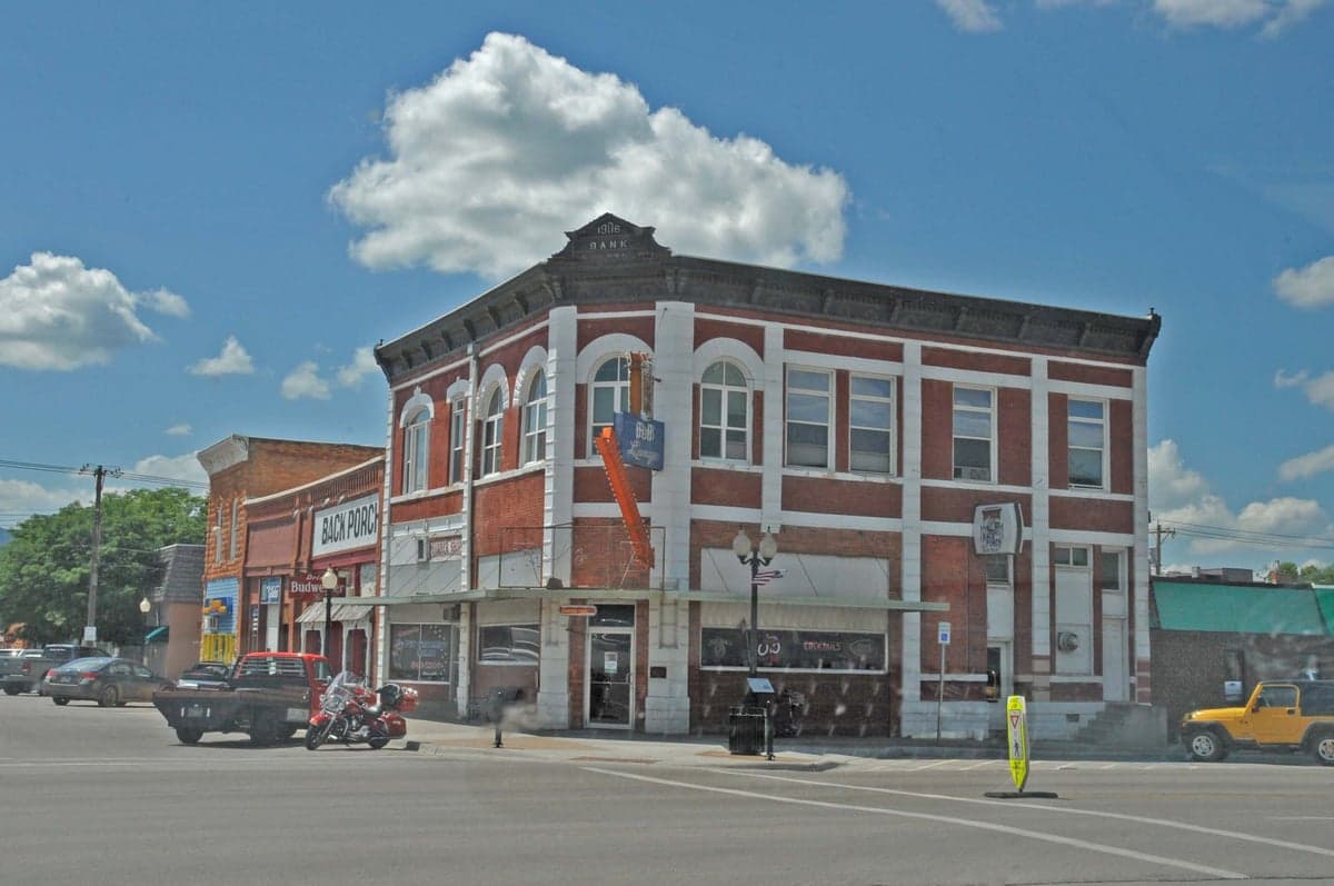
Photo: Wikipedia
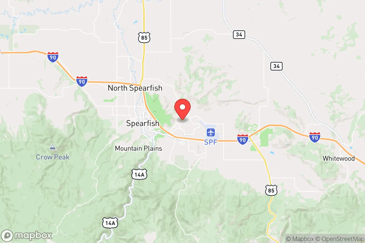
Strategic Assessment of Spearfish, SD
Workable tactical position. Some exposure to population density or targets, but generally defensible in a crisis.
What does the Strategic Assessment tell us?
Our Strategic Assessment grades tactical survivability of an area. Major population centers, military targets, fallout zones, natural disasters, and border exposure all drive risk — lower exposure means a more defensible position in a crisis.
This is heavily inspired by Joel Skousen's Strategic Relocation book. Highly recommended you checkout the book ($)What does this tell us?
Our Strategic Assessment grades tactical survivability of an area. Major population centers, military targets, fallout zones, natural disasters, and border exposure all drive risk — lower exposure means a more defensible position in a crisis.
This is heavily inspired by Joel Skousen's Strategic Relocation book. Highly recommended you checkout the book ($)Strategic Pillars

Key Distances
Regional Safe Places
Below is our recommended "safe zones" in South Dakota and the surrounding area based on our strategic heuristics. For most people, it's unrealistic to live in a “safe zone” full-time due to work, family or other personal reasons. They tend to be more rural. However, many of these areas are perfect for second homes and retreat properties that double as a vacation home or even a short-term rental.


Important Note: For informational purposes only. This does not mean nothing bad ever happens in the green zones. Please use common sense. This is based on public data and modeled with AI. We tried to take a conservative approach but mistakes happen. We update this regularly as new information becomes available.
Solar Generator Recommendations
Backup power matters more here than in safer locations. We've picked three solar generators across budgets and capacity tiers — start with the budget unit if you only need a few essentials, or step up if you want to run a fridge and HVAC for days at a time.

Jackery Portable Power Station Explorer 300
Budget OptionPower on the Go: Weighing only 11 lbs, it's convenient to set up and store with book-sized foldable solar panels

BLUETTI Portable Power Station AC180
Designed for both indoor and outdoor scenarios, AC180 is highly capable as it has a robost capacity and continuous output power.

EF ECOFLOW DELTA Pro Ultra Power Station
Upgraded PickEcoFlow DELTA Pro Ultra is a whole-home energy system designed to grow with your family. Integrated with the Smart Home Panel 2, it scales to meet your evolving energy needs — keeping your home powered, intelligent, and secure through every stage of life.
We earn a commission, at no additional cost to you.
Strategic Assessment Analysis
Spearfish, South Dakota, offers a compelling strategic position for those prioritizing resilience and self-sufficiency, sitting in a geographic sweet spot that balances isolation from major population centers with access to essential infrastructure. Nestled in the northern Black Hills, this community of roughly 12,000 residents benefits from a low population density, a conservative local culture, and a location that is roughly 400 miles from the nearest major metropolitan areas like Denver or Minneapolis, significantly reducing exposure to the cascading effects of urban unrest or mass casualty events. The area’s natural topography and climate provide a buffer against many common disaster scenarios, while its proximity to the Black Hills National Forest and the Missouri River watershed offers long-term resource security for those planning ahead.
Geographic position and natural advantages for long-term security
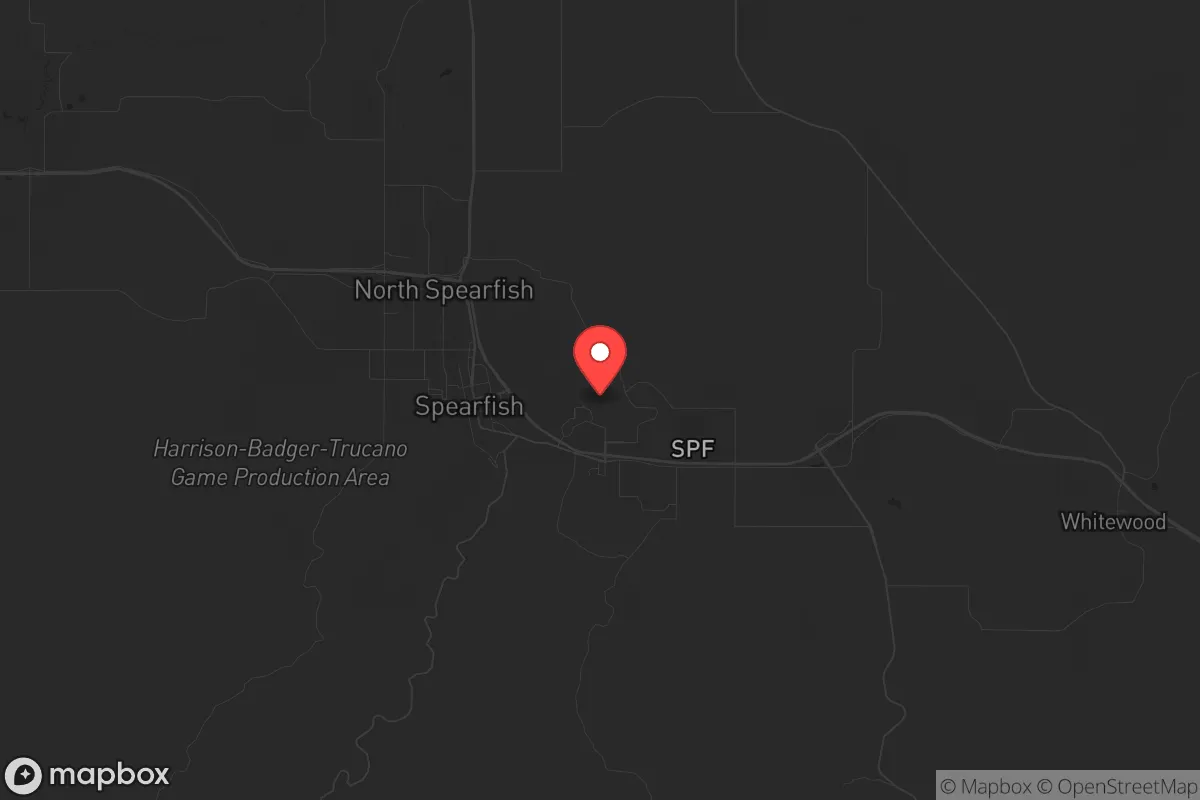
Spearfish’s location in the northern Black Hills is a strategic asset, placing it in a region defined by rugged terrain, abundant freshwater, and a climate that supports agriculture without the extremes of the Great Plains. The Black Hills themselves act as a natural barrier, with elevations ranging from 3,600 to over 7,000 feet, creating defensible positions and limiting easy access from the flatlands to the east. The area sits within the Spearfish Creek watershed, which provides reliable surface water year-round, a critical resource for independent living. The surrounding Lawrence County has a population density of just 11 people per square mile, meaning that even in a crisis, competition for resources would be far lower than in suburban or urban corridors. The region’s geology also includes significant mineral deposits, including gold and uranium, though these are not immediately exploitable for most relocators—but they underscore the area’s resource richness. For those concerned with fallout from distant events, the prevailing westerly winds and the hills’ elevation help disperse airborne contaminants, though proximity to the Ellsworth Air Force Base (about 60 miles east) introduces a moderate risk that should be factored into any plan.
Risks, exposures, and proximity to fallout-relevant landmarks
While Spearfish offers strong natural buffers, it is not without strategic vulnerabilities that a prepper must weigh. The nearest major military installation is Ellsworth Air Force Base near Rapid City, which houses B-1B Lancer bombers and is a potential target in a conflict scenario—though the base is 60 miles away, and the Black Hills’ terrain would provide significant shielding from direct blast effects. The city of Rapid City itself, with a population of about 75,000, is the closest urban center and could become a source of refugee flow during a crisis, but Spearfish’s position along Interstate 90 means it sits on a major east-west corridor, which could bring traffic from the more populated eastern plains. The area is also within 200 miles of the Pine Ridge Indian Reservation, which has experienced significant social and economic challenges; while not a direct threat, this could create secondary instability. Natural risks are relatively low: tornadoes are rare in the hills, and the region’s seismic activity is minimal, though wildfires are a genuine concern in dry summers, as seen in the 2021 Legion Lake Fire that burned near Custer. Flooding along Spearfish Creek is possible during heavy snowmelt, but the city’s flood control infrastructure is adequate. The biggest exposure for a relocator is the area’s reliance on a single major highway (I-90) for resupply, which could be compromised in a widespread event.
Practical resilience for a relocator: food, water, energy, and defensibility
For someone serious about self-reliance, Spearfish’s practical assets are strong but require active planning. Water is abundant: Spearfish Creek flows year-round at an average of 30 cubic feet per second, and the area’s groundwater is accessible via wells at depths of 100-300 feet, with good quality. The growing season is short (about 120 days) but productive for cold-hardy crops like potatoes, carrots, and leafy greens, and the surrounding ranchland supports livestock grazing, making it feasible to source meat locally. The Black Hills region has a history of small-scale agriculture, and local farmers’ markets and co-ops (like the Spearfish Community Garden) provide a network for those building food security. Energy is a mixed picture: the grid is served by Black Hills Power, which relies on coal and natural gas, but the area’s wind and solar potential is excellent—average wind speeds of 12-15 mph and over 200 sunny days per year make off-grid solar or small wind turbines viable for a homestead. Defensibility is a standout feature: the hills offer numerous choke points and natural cover, and the local population is heavily armed and culturally supportive of the Second Amendment, with Lawrence County having one of the highest per-capita gun ownership rates in the state. The community itself is tight-knit and self-policing, with a low crime rate (violent crime is about 1.5 per 1,000 residents, well below national averages), which reduces the need for active security measures in normal times. However, the area’s remoteness means that medical emergencies or supply chain disruptions could be isolating—the nearest Level 1 trauma center is in Rapid City, 60 miles away, so a well-stocked medical kit and skills are essential.
The overall strategic picture for Spearfish is one of a high-potential but not foolproof relocation target for those with a prepper mindset. It offers a rare combination of natural resources, geographic isolation, and a culturally aligned population that values independence and preparedness, making it a strong candidate for weathering civic unrest or large-scale disasters. The trade-offs are real: the harsh winters require serious heating and food storage planning, the reliance on a single highway is a vulnerability, and the proximity to Ellsworth Air Force Base introduces a non-zero risk of military-related fallout. For a single individual or family willing to invest in off-grid infrastructure and community integration, Spearfish provides a defensible, resource-rich base that is far from the chaos of urban collapse. It is not a bunker—it is a living community where preparedness is a shared value, not an outlier. Those who move here should do so with eyes open, ready to adapt to the realities of mountain living, but they will find one of the better strategic positions in the continental United States for long-term resilience.
* Values derived from national, state, county, city and local statistics and may differ in a specific area. Last updated: 2026-04-30T18:33:59.000Z
Narrative content on this page is AI-generated and may contain mistakes. Verify any details that matter before acting on them.
ReloMaps may earn a commission from affiliate links at no extra cost to you.