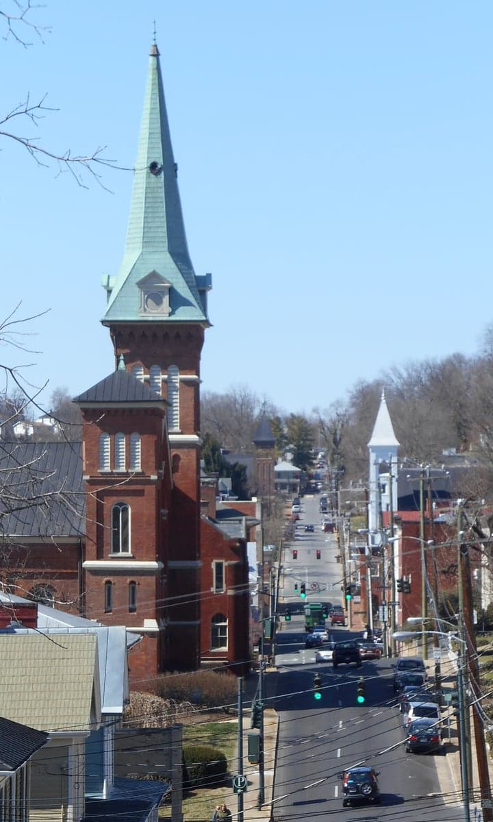
Photo: Wikipedia
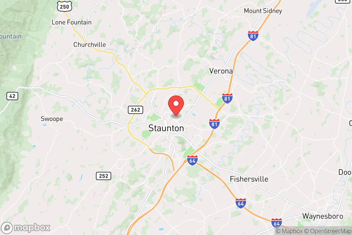
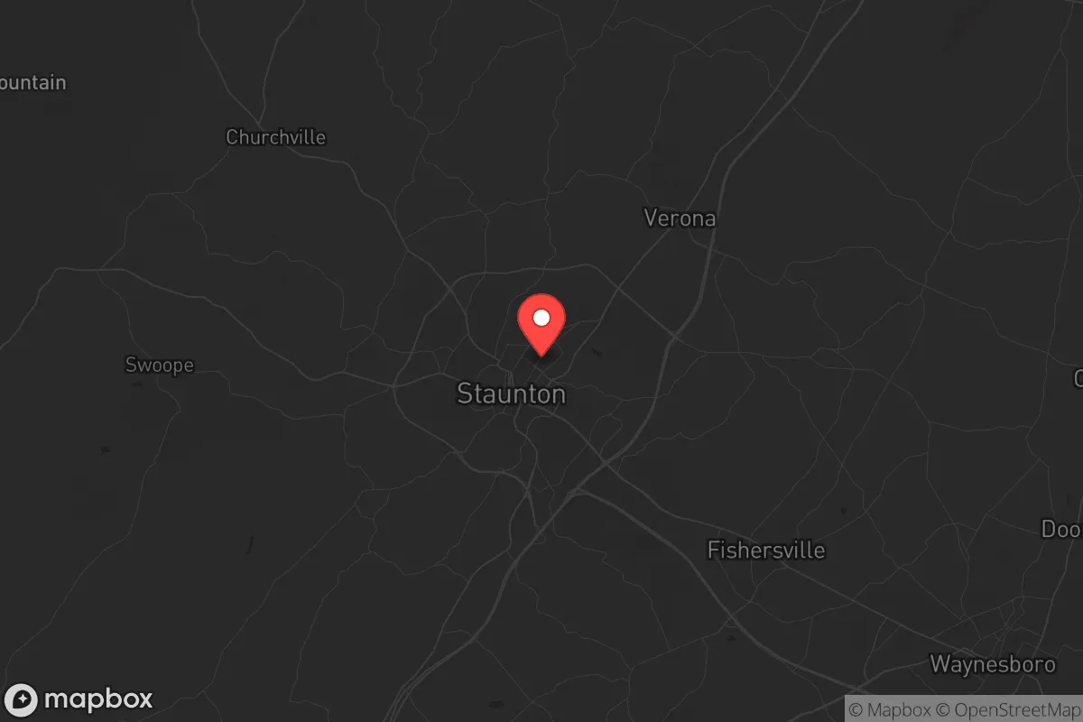
Strategic Assessment of Staunton, VA
Workable tactical position. Some exposure to population density or targets, but generally defensible in a crisis.
What does the Strategic Assessment tell us?
Our Strategic Assessment grades tactical survivability of an area. Major population centers, military targets, fallout zones, natural disasters, and border exposure all drive risk — lower exposure means a more defensible position in a crisis.
This is heavily inspired by Joel Skousen's Strategic Relocation book. Highly recommended you checkout the book ($)What does this tell us?
Our Strategic Assessment grades tactical survivability of an area. Major population centers, military targets, fallout zones, natural disasters, and border exposure all drive risk — lower exposure means a more defensible position in a crisis.
This is heavily inspired by Joel Skousen's Strategic Relocation book. Highly recommended you checkout the book ($)Strategic Pillars

Key Distances
Regional Safe Places
Below is our recommended "safe zones" in Virginia and the surrounding area based on our strategic heuristics. For most people, it's unrealistic to live in a “safe zone” full-time due to work, family or other personal reasons. They tend to be more rural. However, many of these areas are perfect for second homes and retreat properties that double as a vacation home or even a short-term rental.


Important Note: For informational purposes only. This does not mean nothing bad ever happens in the green zones. Please use common sense. This is based on public data and modeled with AI. We tried to take a conservative approach but mistakes happen. We update this regularly as new information becomes available.
Solar Generator Recommendations
Backup power matters more here than in safer locations. We've picked three solar generators across budgets and capacity tiers — start with the budget unit if you only need a few essentials, or step up if you want to run a fridge and HVAC for days at a time.

Jackery Portable Power Station Explorer 300
Budget OptionPower on the Go: Weighing only 11 lbs, it's convenient to set up and store with book-sized foldable solar panels

BLUETTI Portable Power Station AC180
Designed for both indoor and outdoor scenarios, AC180 is highly capable as it has a robost capacity and continuous output power.

EF ECOFLOW DELTA Pro Ultra Power Station
Upgraded PickEcoFlow DELTA Pro Ultra is a whole-home energy system designed to grow with your family. Integrated with the Smart Home Panel 2, it scales to meet your evolving energy needs — keeping your home powered, intelligent, and secure through every stage of life.
We earn a commission, at no additional cost to you.
Strategic Assessment Analysis
Staunton, Virginia, occupies a strategic niche in the Shenandoah Valley that offers genuine resilience advantages for those prioritizing preparedness and self-reliance. Positioned roughly 150 miles from the Washington D.C. metro area and 100 miles from Richmond, it sits far enough from major population centers to avoid the immediate fallout of a major disruption—whether that’s civil unrest, a grid-down event, or a mass casualty incident—yet close enough to access regional resources if needed. The city’s location along the I-81 corridor, flanked by the Blue Ridge and Allegheny Mountains, provides natural chokepoints and escape routes that a savvy relocator can leverage, while its small-city population of around 25,000 keeps density low and community cohesion high. For a conservative-leaning individual or family looking to weather national instability, Staunton offers a blend of geographic insulation and practical infrastructure that warrants serious consideration.
Geographic position and natural advantages for long-term security
Staunton’s setting in the Shenandoah Valley is a double-edged sword that tilts heavily in favor of the prepared. The valley itself is a natural fortress: the Blue Ridge Mountains to the east and the Alleghenies to the west create a corridor that can be monitored and defended, while the numerous gaps—like Rockfish Gap to the south and Swift Run Gap to the north—offer controlled access points. The city sits at an elevation of roughly 1,400 feet, which reduces flood risk compared to lower-lying valley towns, and the surrounding agricultural land is some of the most productive in Virginia. Within a 30-mile radius, you’ll find over 200,000 acres of national forest (George Washington and Jefferson National Forests), providing a buffer against urban sprawl and a source of timber, game, and water. The area’s karst topography means abundant springs and groundwater, a critical asset if municipal systems fail. For a relocator, this geography means you’re not boxed in: you have multiple routes out—I-81 north/south, US-250 east/west, and a network of secondary roads—while potential threats from the east (D.C., Richmond) are filtered through mountain passes that can be monitored or blocked.
Risks, exposures, and proximity to fallout-relevant landmarks
No location is without vulnerabilities, and Staunton has a few that demand attention. The most obvious risk is its proximity to the I-81 corridor, a major trucking route that moves everything from consumer goods to hazardous materials. A derailment or accident involving chemicals—common on this rail-heavy corridor—could disrupt local supply chains for days, though the city’s water supply (drawn from the North River and several reservoirs) is largely upstream of industrial zones. More concerning for the prepper mindset is the area’s proximity to several high-value targets. Staunton is about 50 miles from the Blue Ridge Tunnel complex (used for military communications) and 70 miles from the NSA’s operations at Fort Meade’s satellite facilities in the region. The Shenandoah Valley also hosts multiple data centers and power substations that could be targeted in a cyber or physical attack. On the plus side, Staunton is not near any nuclear power plants (the closest, North Anna, is 80 miles east), and prevailing winds from the west would carry fallout away from the valley in a major event. The city’s small size means it’s unlikely to be a primary target, but its role as a regional hub for healthcare (Augusta Health, a 255-bed hospital) and logistics could make it a secondary destination for refugees from the east. For a relocator, the key is to have a plan for the first 72 hours post-disruption, when the I-81 corridor could become a chokepoint for both traffic and threats.
Practical resilience for a relocator: food, water, energy, and defensibility
Staunton’s practical resilience is where it shines for the survivalist. The city sits atop the Shenandoah Valley Aquifer, one of the most productive groundwater systems in the Mid-Atlantic, meaning well water is a viable option for those buying property outside city limits. The North River and its tributaries provide surface water that can be filtered, and the area’s average annual rainfall of 40 inches ensures catchment systems are effective. For food, the valley is a breadbasket: within a 20-mile radius, you’ll find dozens of farms producing beef, poultry, dairy, apples, and grains. The Staunton Farmers Market operates year-round, and local food co-ops like the Shenandoah Valley Organic (a major poultry producer) offer bulk purchasing options. For energy, the region is served by Dominion Energy, but grid reliability is a concern—winter storms and summer heat waves have caused outages. Solar potential is moderate (about 4.5 peak sun hours per day), but the valley’s frequent cloud cover means battery backup is essential. Wood heating is common, with ample firewood available from national forests (with a permit). Defensibility is a mixed bag: Staunton’s historic downtown is walkable but dense, while outlying neighborhoods like Thornrose or the areas along US-250 offer more rural layouts with good sightlines. The city’s topography—rolling hills with occasional steep ridges—provides natural defensive positions, but the lack of a centralized community defense network means relocators should plan to build relationships with neighbors early. Gun ownership is common in Augusta County, with a strong culture of hunting and sport shooting, and the local sheriff’s office is generally supportive of Second Amendment rights, which aligns with a conservative preparedness ethos.
The overall strategic picture for Staunton is one of cautious optimism for the prepared relocator. It’s not a bug-out location in the remote wilderness sense—it’s too connected to regional infrastructure for that—but it offers a rare combination of natural resources, defensible geography, and community resilience that many other small cities lack. The key trade-off is proximity to risk: you’re close enough to D.C. and Richmond to feel the ripple effects of a major event, but far enough to have time to react and resources to fall back on. For a single individual or family willing to invest in water storage, solar backup, and local networking, Staunton provides a solid foundation for weathering the next decade’s uncertainties. The valley’s history as a breadbasket and its mountain barriers make it a place where self-reliance isn’t just possible—it’s practical. Just don’t expect to go it alone; the real strength here is in the community you build, and Staunton’s conservative, family-oriented culture makes that easier than in many other parts of Virginia.
* Values derived from national, state, county, city and local statistics and may differ in a specific area. Last updated: 2026-04-24T19:56:10.000Z
Narrative content on this page is AI-generated and may contain mistakes. Verify any details that matter before acting on them.
ReloMaps may earn a commission from affiliate links at no extra cost to you.