Photo: Wikipedia
Strategic Assessment of Taos, NM
Workable tactical position. Some exposure to population density or targets, but generally defensible in a crisis.
What does the Strategic Assessment tell us?
Our Strategic Assessment grades tactical survivability of an area. Major population centers, military targets, fallout zones, natural disasters, and border exposure all drive risk — lower exposure means a more defensible position in a crisis.
This is heavily inspired by Joel Skousen's Strategic Relocation book. Highly recommended you checkout the book ($)What does this tell us?
Our Strategic Assessment grades tactical survivability of an area. Major population centers, military targets, fallout zones, natural disasters, and border exposure all drive risk — lower exposure means a more defensible position in a crisis.
This is heavily inspired by Joel Skousen's Strategic Relocation book. Highly recommended you checkout the book ($)Strategic Pillars

Key Distances
Regional Safe Places
Below is our recommended "safe zones" in New Mexico and the surrounding area based on our strategic heuristics. For most people, it's unrealistic to live in a “safe zone” full-time due to work, family or other personal reasons. They tend to be more rural. However, many of these areas are perfect for second homes and retreat properties that double as a vacation home or even a short-term rental.

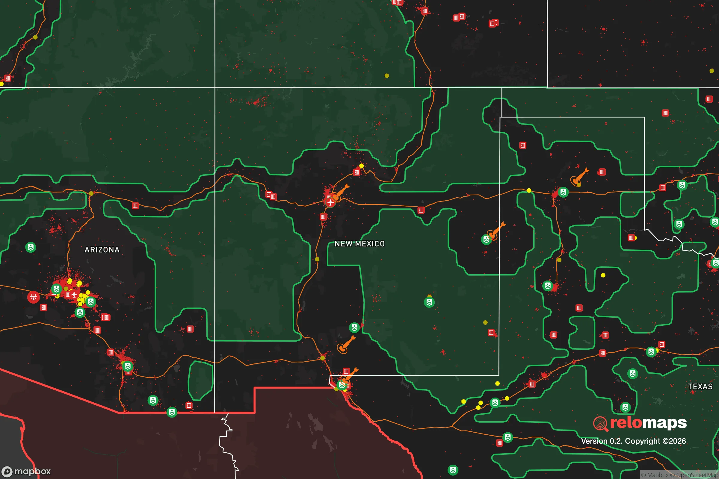
Important Note: For informational purposes only. This does not mean nothing bad ever happens in the green zones. Please use common sense. This is based on public data and modeled with AI. We tried to take a conservative approach but mistakes happen. We update this regularly as new information becomes available.
Solar Generator Recommendations
Backup power matters more here than in safer locations. We've picked three solar generators across budgets and capacity tiers — start with the budget unit if you only need a few essentials, or step up if you want to run a fridge and HVAC for days at a time.

Jackery Portable Power Station Explorer 300
Budget OptionPower on the Go: Weighing only 11 lbs, it's convenient to set up and store with book-sized foldable solar panels

BLUETTI Portable Power Station AC180
Designed for both indoor and outdoor scenarios, AC180 is highly capable as it has a robost capacity and continuous output power.

EF ECOFLOW DELTA Pro Ultra Power Station
Upgraded PickEcoFlow DELTA Pro Ultra is a whole-home energy system designed to grow with your family. Integrated with the Smart Home Panel 2, it scales to meet your evolving energy needs — keeping your home powered, intelligent, and secure through every stage of life.
We earn a commission, at no additional cost to you.
Strategic Assessment Analysis
Taos, New Mexico, offers a strategic resilience profile that is difficult to replicate elsewhere in the continental United States. Its primary advantage is not just its stunning geography, but the combination of extreme remoteness, high altitude, and a low-population-density buffer that insulates it from the cascading failures likely to plague major metropolitan corridors. For a relocator prioritizing self-sufficiency and a lower probability of being caught in a mass casualty event or civil unrest, Taos represents a hard-to-reach redoubt, provided you understand its specific vulnerabilities and are willing to adapt to a high-desert lifestyle that demands serious preparation.
Geographic isolation and natural defensive advantages
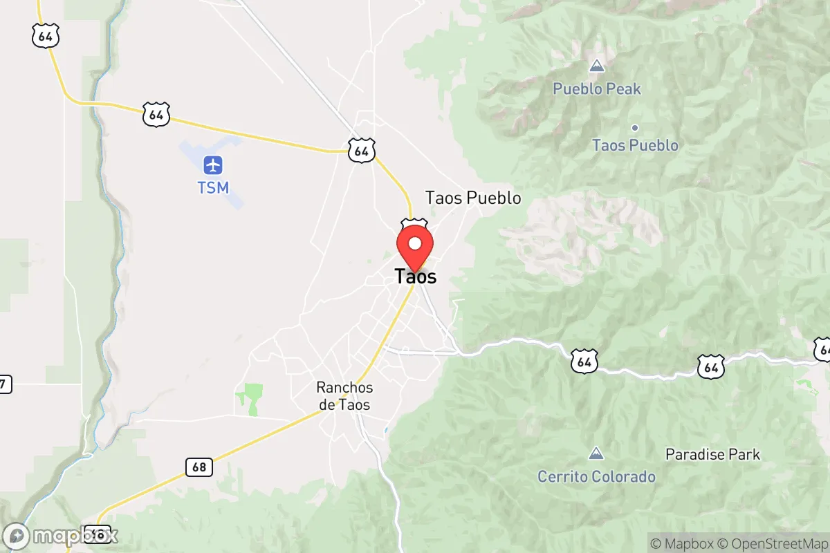
Taos sits at roughly 7,000 feet in the Sangre de Cristo Mountains, a position that provides a natural defensive layer. The town is not on any major interstate highway; the closest interstate (I-25) is over an hour away in Santa Fe, and the primary access routes—US-64 and NM-68—are two-lane mountain roads that can be easily monitored or, in a worst-case scenario, rendered impassable. This geographic friction works in your favor. The surrounding Carson National Forest and the Rio Grande Gorge create a rugged, sparsely populated ring that makes large-scale movement into the area difficult. For a prepper, this means a significantly lower risk of refugee flows or looters compared to a town on a major transit corridor. The high altitude also provides a natural advantage against airborne contaminants or fallout drift, as prevailing westerly winds tend to push particulates over the Great Plains, not into the deep mountain valleys. However, do not mistake isolation for safety—the altitude also means thinner air, lower oxygen saturation, and a real risk of altitude sickness for anyone not acclimated, which can be a serious liability if you need to perform physical labor or evacuate quickly.
Risks, exposures, and proximity to fallout-relevant landmarks
Taos is not without significant strategic risks. The most immediate concern is its proximity to Los Alamos National Laboratory (LANL), roughly 90 miles south by road. LANL is a primary nuclear weapons design and stockpile stewardship facility. In a major conflict or a cascading grid-down scenario, LANL is a high-value target for both state and non-state actors. A kinetic or cyber attack on the lab could release radioactive materials or trigger a security lockdown that would choke the entire region. Additionally, the lab itself is a potential source of fallout if targeted. While Taos is upwind of the prevailing winds from Los Alamos, a ground burst or a fire at the lab could create unpredictable plume patterns. The other major risk is the Rio Grande Rift, a seismic zone that runs directly through the area. While major earthquakes are rare, the region experiences frequent small tremors, and the local infrastructure—particularly the aging adobe and unreinforced masonry buildings in the historic district—is not designed to withstand a significant seismic event. A quake could collapse the single bridge over the Rio Grande Gorge on US-64, effectively cutting Taos off from the west. Finally, the area is a tinderbox for wildfire. The 2022 Calf Canyon/Hermits Peak Fire, which burned over 340,000 acres just south of Taos, is a stark reminder that the same forests that provide cover also provide fuel. A major fire could force a mandatory evacuation with very limited egress routes.
Practical resilience for a relocator: food, water, energy, and defensibility
For a serious relocator, Taos presents a mixed bag. Water is the single most critical vulnerability. The town relies on surface water from the Rio Grande and its tributaries, which are heavily diverted for agriculture. The region is in a long-term megadrought, and water rights are complex, expensive, and often tied to ancient acequia systems. If you buy property, you must secure a senior water right or have a well drilled deep into the aquifer—neither is cheap or guaranteed. Rainwater harvesting is legal in New Mexico but limited to 250 gallons per property per rain event, which is insufficient for full self-sufficiency. Food production is possible but challenging. The growing season is short (May to September), and the soil is alkaline and rocky. You can grow cold-hardy crops like potatoes, kale, and root vegetables, but you will not be producing your own grain or significant calories without a greenhouse and serious irrigation. The local farmers' market is excellent for fresh produce in season, but in a collapse scenario, local agriculture cannot support the current population. Energy is a bright spot. Taos County has some of the best solar insolation in the country, and off-grid solar is a proven, viable option. Many residents already run on solar with battery backup, and the local building codes are friendly to off-grid systems. Wood heating is also common, with ample fuel from the national forest (though you need a permit and a chainsaw). Defensibility is moderate. The town itself is not defensible—it's a tourist hub with multiple entry points and a transient population. However, the outlying areas, particularly the high valleys east of town (e.g., the Taos Ski Valley area or the remote reaches of the Rio Grande Gorge), offer properties with single-access roads, good sightlines, and natural barriers. The local culture is independent and armed; New Mexico is a shall-issue state for concealed carry, and open carry is legal without a permit. The sheriff's office is small but responsive, and the community is tight-knit. In a crisis, your neighbors are likely to be more capable than in a suburban subdivision, but you must earn that trust—outsiders are viewed with suspicion until they prove their competence.
The overall strategic picture for Taos is one of high reward paired with high maintenance. It is not a bug-out location you can walk into with a backpack; it is a place you must build into over years. The isolation that protects you also makes supply chains fragile—a single winter storm can close the roads for days. The altitude and aridity will test your physical limits. The proximity to Los Alamos is a genuine wildcard that could turn the area into a secondary target zone. But for a conservative-minded relocator who values distance from federal power centers, a culture of self-reliance, and a landscape that naturally filters out the unprepared, Taos offers a viable long-term base. The key is to treat it as a permanent homestead, not a temporary retreat. Secure your water first, then your energy, then your food supply. Build relationships with the locals before you need them. And keep a close eye on the news from Los Alamos—if that lab goes hot, the entire region's calculus changes overnight. Taos is a fortress, but only if you are willing to dig the moat yourself.
* Values derived from national, state, county, city and local statistics and may differ in a specific area. Last updated: 2026-04-19T07:02:03.000Z
Narrative content on this page is AI-generated and may contain mistakes. Verify any details that matter before acting on them.
ReloMaps may earn a commission from affiliate links at no extra cost to you.