
Photo: Wikipedia
Strategic Assessment of Anderson County
Workable tactical position. Some exposure to population density or targets, but generally defensible in a crisis.
What does the Strategic Assessment tell us?
Our Strategic Assessment grades tactical survivability of an area. Major population centers, military targets, fallout zones, natural disasters, and border exposure all drive risk — lower exposure means a more defensible position in a crisis.
This is heavily inspired by Joel Skousen's Strategic Relocation book. Highly recommended you checkout the book ($)What does this tell us?
Our Strategic Assessment grades tactical survivability of an area. Major population centers, military targets, fallout zones, natural disasters, and border exposure all drive risk — lower exposure means a more defensible position in a crisis.
This is heavily inspired by Joel Skousen's Strategic Relocation book. Highly recommended you checkout the book ($)Strategic Pillars

Key Distances
Strategic Assessment Analysis
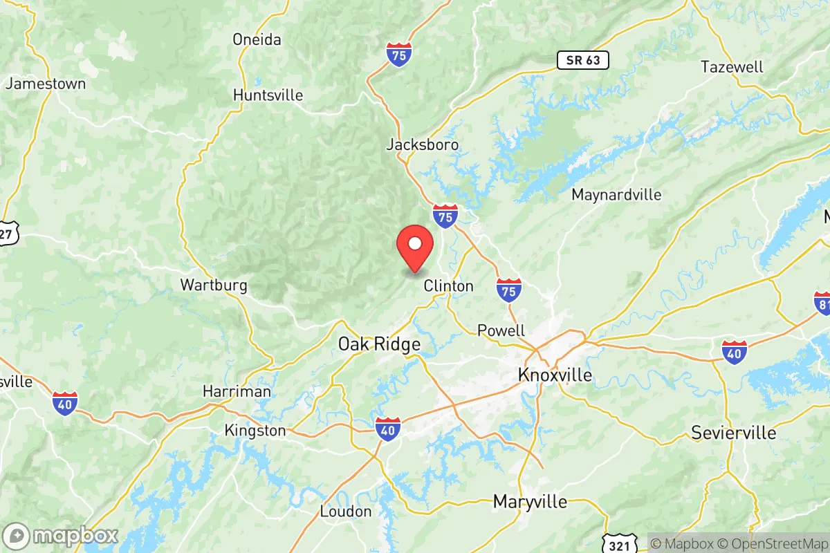
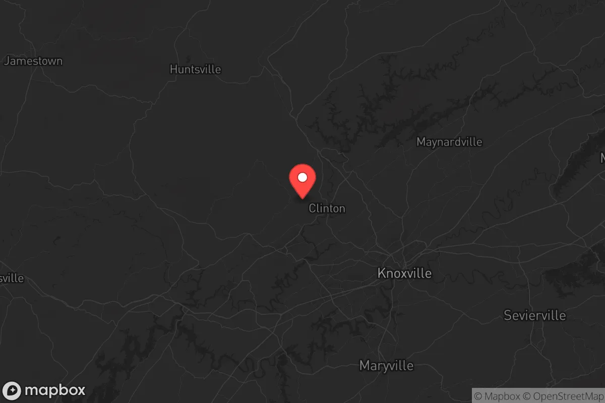
Anderson County, Tennessee, offers a compelling strategic position for those prioritizing resilience and self-sufficiency in an uncertain future. Located roughly 20 miles northwest of Knoxville along the Clinch River, this area provides a buffer from major urban centers while maintaining access to essential infrastructure. The county’s rugged terrain, abundant water resources, and relatively low population density make it a viable option for individuals and families seeking to mitigate risks associated with civic unrest, supply chain disruptions, or large-scale disasters. For a conservative-leaning audience focused on preparedness, Anderson County presents a balanced mix of isolation and accessibility, though proximity to certain energy and industrial sites requires careful consideration.
Geographic position and natural advantages for long-term security
Anderson County sits in the Ridge-and-Valley region of East Tennessee, a landscape of parallel ridges and fertile valleys that naturally limits large-scale development and provides defensible positions. The county seat, Clinton, is roughly 20 miles from Knoxville, offers a small-town atmosphere with a population under 10,000, while the larger community of Oak Ridge (population ~30,000) serves as the county’s economic hub. The Clinch River and Norris Lake (formed by TVA’s Norris Dam) provide reliable surface water sources, critical for independent water systems and long-term sustainability. The surrounding Cumberland Mountains to the north and the Great Smoky Mountains to the southeast create natural barriers that slow movement and offer retreat options if needed. Unlike flatter regions of the South, Anderson County’s topography makes it less vulnerable to large-scale flooding or storm surge, though localized flash flooding in valleys remains a concern. The area’s moderate climate supports year-round gardening and livestock, with growing seasons long enough for staple crops like corn, beans, and squash. For a relocator, the combination of water access, defensible terrain, and moderate climate forms a solid foundation for long-term self-reliance.
Risks, exposures, and proximity to fallout-relevant landmarks
The most significant strategic concern in Anderson County is its proximity to Oak Ridge National Laboratory (ORNL) and the broader Y-12 National Security Complex, both located within the county. These facilities handle nuclear materials, including enriched uranium and weapons components, making them potential targets in a conflict or terrorism scenario. While the Department of Energy maintains robust security, a major incident—whether accidental or intentional—could render parts of the county uninhabitable for extended periods. The prevailing winds in the region generally blow from the southwest, meaning fallout from an event at Oak Ridge would likely affect areas to the northeast, including parts of Union and Campbell counties. However, the Clinch River flows past the Oak Ridge reservation, and a contamination event could impact downstream water supplies. Additionally, Interstate 75 runs through the western edge of the county, a major north-south evacuation route that could become congested during a crisis. The Tennessee Valley Authority (TVA) Bull Run Fossil Plant (near Clinton) and the Watts Bar Nuclear Plant (about 40 miles southwest in Rhea County) add industrial risk, though the nuclear plant is far enough to be less of a direct concern. For a prepper, the Oak Ridge complex is the primary liability—anyone settling in Anderson County should have a plan for rapid evacuation east or north if a nuclear incident occurs.
Practical resilience for a relocator: food, water, energy, and defensibility
Water is Anderson County’s strongest asset. Norris Lake and the Clinch River provide abundant surface water, and the county’s average annual rainfall of about 50 inches supports rainwater catchment systems. Groundwater is generally accessible via wells in the valleys, though ridge-top properties may require deeper drilling. For food production, the county has a mix of small farms and homesteads, with Anderson County Farmers Market in Clinton supporting local food networks. The soil in the valleys is fertile, but the rocky ridges require raised beds or terracing. Livestock—particularly goats, chickens, and cattle—are common, and the county’s agricultural extension office offers resources for new growers. Energy resilience is mixed: TVA provides grid electricity, but the region’s mountainous terrain makes solar power viable, with good southern exposure on many ridge-line properties. Wood is abundant for heating and cooking, with the Cherokee National Forest and state-managed lands offering fuel sources. Defensibility is excellent in the ridges—properties with limited access points and long sightlines are available, particularly in the Lake City (now Rocky Top) area and along the Norris Dam corridor. The county’s law enforcement presence is modest, with the Anderson County Sheriff’s Office covering a large area, so community-based security networks are advisable. For a relocator, the key practical steps are securing a property with a well or lake access, establishing a rainwater system, building a root cellar or cold storage, and connecting with local preparedness groups—several exist in the Oak Ridge and Clinton areas.
The overall strategic picture for Anderson County is one of calculated trade-offs. Its natural advantages—water, terrain, climate, and relative isolation from major urban centers—are genuine assets for long-term resilience. The proximity to Oak Ridge’s nuclear facilities is the single greatest risk, one that cannot be ignored but can be mitigated through careful site selection (avoiding areas directly downwind) and having a pre-planned evacuation route. For a conservative-leaning individual or family, the county offers a community that is politically and culturally aligned with self-reliance, with a strong veteran presence and a history of Appalachian independence. The presence of Knoxville 20 miles away provides access to medical care, hardware stores, and supply chains without the daily exposure to urban crime and unrest. In a worst-case scenario—civil collapse, major conflict, or pandemic—Anderson County’s ridges and valleys offer a defensible redoubt. In a best-case scenario, it’s a quiet, affordable place to live with good hunting, fishing, and a slower pace of life. The decision comes down to whether the Oak Ridge risk is acceptable; for many preppers, the answer is yes, provided they prepare accordingly.
* Values derived from national, state, county, city and local statistics and may differ in a specific area. Last updated: 2026-05-18T16:00:49.000Z
Narrative content on this page is AI-generated and may contain mistakes. Verify any details that matter before acting on them.
ReloMaps may earn a commission from affiliate links at no extra cost to you.