
Photo: Wikipedia
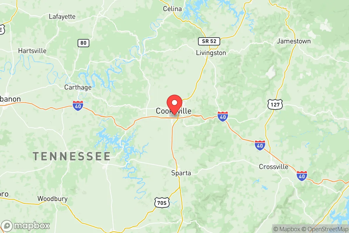
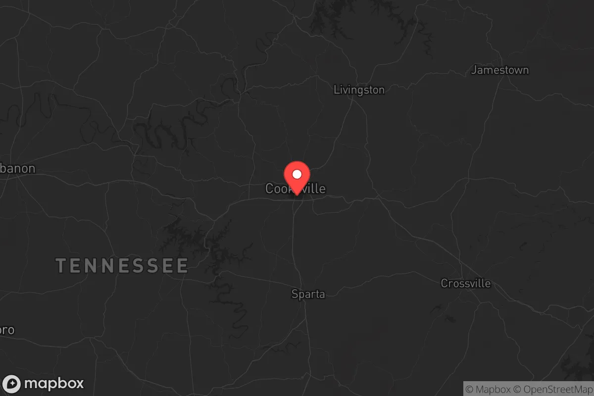
Strategic Assessment of Putnam County
Workable tactical position. Some exposure to population density or targets, but generally defensible in a crisis.
What does the Strategic Assessment tell us?
Our Strategic Assessment grades tactical survivability of an area. Major population centers, military targets, fallout zones, natural disasters, and border exposure all drive risk — lower exposure means a more defensible position in a crisis.
This is heavily inspired by Joel Skousen's Strategic Relocation book. Highly recommended you checkout the book ($)What does this tell us?
Our Strategic Assessment grades tactical survivability of an area. Major population centers, military targets, fallout zones, natural disasters, and border exposure all drive risk — lower exposure means a more defensible position in a crisis.
This is heavily inspired by Joel Skousen's Strategic Relocation book. Highly recommended you checkout the book ($)Strategic Pillars

Key Distances
Strategic Assessment Analysis
Putnam County, Tennessee, offers a strategic relocation option for those prioritizing resilience and self-sufficiency in an increasingly uncertain national landscape. Its position in the Upper Cumberland region provides a buffer from the immediate fallout zones of major metropolitan targets while maintaining access to critical supply routes and regional infrastructure. For a conservative-leaning audience concerned with civic unrest, mass casualty events, and long-term preparedness, this county presents a balanced mix of geographic isolation and practical livability that warrants serious consideration.
Geographic position and natural advantages: The Upper Cumberland's strategic buffer
Putnam County sits roughly 80 miles east of Nashville and 100 miles west of Knoxville, placing it outside the likely blast or immediate fallout zones of either city while still within a day's drive of both. The county seat, Cookeville, is the economic and logistical hub of the Upper Cumberland region, anchored by Interstate 40 which runs east-west through the county. This highway provides a critical evacuation or resupply corridor, but the county's terrain—rolling hills, limestone bluffs, and dense hardwood forests—offers natural defensibility and concealment. The area sits on the Eastern Highland Rim, a plateau that rises several hundred feet above the surrounding valleys, providing elevated vantage points and reduced flood risk compared to low-lying areas near the Tennessee or Cumberland Rivers. The county's numerous caves and sinkholes, characteristic of karst topography, offer potential natural shelter options, though they require careful assessment for stability and water contamination.
The county's water resources are a significant advantage. The Caney Fork River forms part of the southern boundary, and Center Hill Lake—a U.S. Army Corps of Engineers reservoir—lies just west of the county line. Within the county, City Lake and Burgess Falls State Park provide additional surface water sources. The average annual rainfall of roughly 55 inches supports reliable well water recharge, and the county's underlying aquifer systems, while variable, generally yield adequate domestic water at depths of 100-300 feet. For a relocator, this means a property with a drilled well and backup power can maintain independent water supply even during prolonged grid outages.
Risks, exposures, and proximity to fallout-relevant landmarks
No location is without risk, and Putnam County has specific vulnerabilities that a strategic relocator must weigh. The most immediate concern is Interstate 40 itself. While it provides mobility, it also funnels traffic from Nashville and Knoxville during any evacuation scenario, potentially creating choke points and drawing transient populations into the county. The I-40 corridor through Cookeville sees heavy truck traffic, including hazardous materials shipments, and a major accident or intentional disruption could sever the county's primary east-west link. The county's proximity to Oak Ridge National Laboratory (about 60 miles east) and the Tennessee Valley Authority's Watts Bar Nuclear Plant (about 70 miles southeast) introduces a low-probability but high-consequence risk of radiological incidents. Prevailing winds in the region are generally from the south and southwest, meaning fallout from a catastrophic event at either facility could potentially drift into Putnam County depending on specific weather patterns.
Other risks include the county's position relative to Fort Campbell (about 100 miles west) and the Arnold Air Force Base (about 50 miles south). While these are military assets that could provide security in a coordinated response, they also represent potential targets in a conflict scenario. The county's own infrastructure—the Cookeville Municipal Airport and the major rail line running through the county—could become focal points for civil unrest or resource competition. Tornado risk is elevated, as the Upper Cumberland sits in the Dixie Alley corridor, and the 2020 Easter tornado that devastated parts of Cookeville demonstrated that even well-prepared communities can face sudden, catastrophic natural events. The county's emergency management infrastructure is competent but not oversized; a mass casualty event or prolonged grid-down scenario would quickly overwhelm local resources.
Practical resilience for a relocator: Food, water, energy, and defensibility
For a relocator focused on practical self-sufficiency, Putnam County offers several concrete advantages. The agricultural base is modest but viable—the county has over 1,200 farms, primarily focused on livestock (beef cattle, poultry) and hay production. The growing season averages 190-200 days, sufficient for most garden crops, and the local soil types (primarily silt loams and clay loams) are workable with proper amendment. The Putnam County Farmers Market in Cookeville provides a local outlet for produce and livestock, but a serious prepper should plan for direct relationships with area farmers for bulk purchases of grain, hay, and breeding stock. The county's deer population is robust, and wild turkey and small game are present, providing a supplemental protein source for those with hunting skills.
Energy resilience is mixed. The county is served by the Upper Cumberland Electric Membership Corporation, a cooperative that has historically maintained reasonable reliability, but the rural nature of much of the county means long outage durations during ice storms or severe weather. Solar potential is moderate—the region receives about 4.5 peak sun hours per day on average, sufficient for a well-designed off-grid system with battery storage. Wood heating is practical, as hardwood forests cover roughly 60% of the county, and firewood permits on state-managed lands are available. Natural gas is available in Cookeville and some suburban areas, but rural properties typically rely on propane or heating oil. For defensibility, the county's rural areas offer properties with significant setback from roads, natural tree lines, and terrain that limits approaches. The Algood and Baxter areas, north of Cookeville, provide more secluded options with less traffic exposure, while the Monterey area to the east offers higher elevation and more rugged terrain.
Community cohesion is a critical resilience factor. Putnam County's population of roughly 80,000 is politically conservative, with a strong church presence and a culture of mutual aid that predates modern preparedness movements. The Putnam County Sheriff's Office and local law enforcement are generally well-regarded, but in a prolonged crisis, community networks—neighborhood watch groups, church-based relief efforts, and informal barter systems—will matter more than official response. The county has a growing number of prepper and homesteading groups, and the Tennessee state government has enacted laws protecting property rights and self-defense that align with a conservative preparedness mindset.
The overall strategic picture for Putnam County is cautiously positive. It is not a remote wilderness—it has a Walmart, a regional hospital (Cookeville Regional Medical Center), and a university (Tennessee Tech) that could become a resource or a liability depending on circumstances. Its strengths lie in its moderate isolation, reliable water resources, agricultural potential, and a population that largely shares the values of self-reliance and community defense. The weaknesses are the I-40 corridor vulnerability, proximity to nuclear and military targets, and the inherent risks of tornado-prone terrain. For a relocator willing to invest in well water, solar backup, food storage, and local networking, this county offers a defensible position that balances access to civilization with the space to weather a crisis. It is not a bug-out location for the lone wolf—it is a community for those who intend to stay and build something that lasts.
* Values derived from national, state, county, city and local statistics and may differ in a specific area. Last updated: 2026-05-12T12:18:18.000Z
Narrative content on this page is AI-generated and may contain mistakes. Verify any details that matter before acting on them.
ReloMaps may earn a commission from affiliate links at no extra cost to you.