
Photo: Wikipedia
Strategic Assessment of Denton County
Meaningful friction. Expect exposure to either population pressure, blast zones, or natural disaster risk. Consider buying a retreat property.
What does the Strategic Assessment tell us?
Our Strategic Assessment grades tactical survivability of an area. Major population centers, military targets, fallout zones, natural disasters, and border exposure all drive risk — lower exposure means a more defensible position in a crisis.
This is heavily inspired by Joel Skousen's Strategic Relocation book. Highly recommended you checkout the book ($)What does this tell us?
Our Strategic Assessment grades tactical survivability of an area. Major population centers, military targets, fallout zones, natural disasters, and border exposure all drive risk — lower exposure means a more defensible position in a crisis.
This is heavily inspired by Joel Skousen's Strategic Relocation book. Highly recommended you checkout the book ($)Strategic Pillars

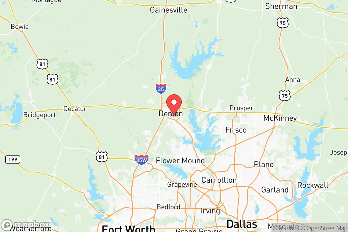
Key Distances
Strategic Assessment Analysis
Denton County offers a compelling mix of proximity to the Dallas-Fort Worth metroplex and a buffer from its most acute risks, making it a serious contender for those prioritizing strategic relocation. Its position along the I-35 corridor provides economic access while allowing for a degree of separation from the urban core, a balance that matters when considering both day-to-day resilience and long-term preparedness. The county’s growth trajectory and infrastructure investments suggest it is not merely a suburban spillover zone but a region with its own economic gravity, which can be leveraged for self-sufficiency in uncertain times.
Geographic position and natural advantages for long-term security
Denton County sits roughly 30-40 miles north of downtown Dallas, a distance that places it outside the immediate blast radius of a major urban event while still within a practical commuting range for work or supply runs. The county’s terrain is mostly rolling hills and prairie, with the Elm Fork of the Trinity River cutting through the eastern portion near the city of Denton. This river system, along with Lake Lewisville and Lake Ray Roberts, provides a significant freshwater resource—critical for any long-term resilience plan. The lakes are managed by the U.S. Army Corps of Engineers and offer both recreational access and a reliable water supply for communities like Highland Village and Hickory Creek. The area’s elevation, averaging around 600-700 feet, is not mountainous but offers decent drainage and avoids the floodplain risks seen in southern parts of the metroplex. For a relocator, the key natural advantage is water security: two major reservoirs within county lines mean that even in a drought scenario, the region has a buffer that many inland counties lack.
Risks, exposures, and proximity to fallout-relevant landmarks
The primary risk for Denton County is its proximity to the Dallas-Fort Worth metroplex, a population center of over 7 million people that would be a target for any large-scale disruption, whether from economic collapse, civil unrest, or a coordinated attack. The county is directly under the flight paths of both DFW International Airport and Dallas Love Field, which could become choke points or targets in a crisis. Additionally, the I-35 corridor running through Denton is a major north-south logistics route, meaning it would likely be clogged with evacuees or military traffic during an emergency. More specifically, the county is about 50 miles from the Fort Worth Stockyards and the rail yards near downtown Fort Worth, which could be secondary targets. On the industrial side, there are no major refineries or chemical plants within Denton County itself, but the Eagle Ford Shale and Barnett Shale natural gas fields are active to the south and west, with pipeline infrastructure running through the area. The closest military installation of note is the Naval Air Station Joint Reserve Base Fort Worth, about 35 miles southwest, which could become a staging area or target. For a prepper mindset, the biggest exposure is the county’s reliance on the grid and the fact that it is a net importer of food and fuel—most supplies come from the metroplex distribution centers. A prolonged disruption would strain local resources quickly, especially in the more densely populated southern towns like Carrollton and The Colony.
Practical resilience for a relocator: food, water, energy, and defensibility
For someone looking to establish a resilient homestead or retreat, Denton County offers a mixed bag. Water is the strongest asset: Lake Lewisville and Lake Ray Roberts are large, well-managed reservoirs that can supply drinking water for years even under reduced rainfall. The city of Denton operates its own water treatment plant, and many rural properties have access to groundwater via private wells, though aquifer levels in the Trinity Group are declining in some areas. Food resilience is more challenging. The county has some agricultural land, particularly in the northern and western parts near Sanger and Krum, but most of the prime soil is being converted to subdivisions. Local farmers’ markets and CSAs exist but are not sufficient to feed the county’s 900,000+ residents in a crisis. A relocator would need to plan for significant on-site food production—greenhouses, root cellars, and livestock—which is feasible on larger parcels but not in suburban HOA communities. Energy is a weak point. Denton County is served by the ERCOT grid, which has proven unreliable during extreme weather events like Winter Storm Uri in 2021. Natural gas and wind are the primary generation sources, but transmission lines are vulnerable to both weather and sabotage. Solar with battery backup is a practical investment here, as the region averages over 230 sunny days per year. Defensibility varies widely. The rural northern parts of the county offer more seclusion and natural chokepoints (e.g., narrow roads along the lake arms), while the southern suburbs are essentially continuous with the metroplex and would be difficult to secure. For a single individual or family, a property near the lakes but away from major highways—think areas around Pilot Point or Aubrey—offers a better balance of access and isolation.
The overall strategic picture for Denton County is one of calculated trade-offs. It is not a remote bunker location, nor is it a high-risk urban core. For the conservative-leaning relocator who values community, economic opportunity, and a degree of self-sufficiency, it represents a viable middle ground. The presence of two major lakes, a growing local economy, and a political climate that leans conservative (the county voted +14 R in 2024) aligns with the priorities of those seeking stability and preparedness. However, the county’s growth is accelerating, and the window for acquiring affordable land with good water access is narrowing. Anyone serious about relocating here should prioritize properties with well water, solar potential, and a defensible layout—and should be prepared to invest in food storage and off-grid energy before a crisis hits. Denton County can work as a strategic base, but only if you treat it as a launchpad for resilience, not a final refuge.
* Values derived from national, state, county, city and local statistics and may differ in a specific area. Last updated: 2026-05-11T23:54:29.000Z
Narrative content on this page is AI-generated and may contain mistakes. Verify any details that matter before acting on them.
ReloMaps may earn a commission from affiliate links at no extra cost to you.