
Photo: Wikipedia
Strategic Assessment of Erath County
Workable tactical position. Some exposure to population density or targets, but generally defensible in a crisis.
What does the Strategic Assessment tell us?
Our Strategic Assessment grades tactical survivability of an area. Major population centers, military targets, fallout zones, natural disasters, and border exposure all drive risk — lower exposure means a more defensible position in a crisis.
This is heavily inspired by Joel Skousen's Strategic Relocation book. Highly recommended you checkout the book ($)What does this tell us?
Our Strategic Assessment grades tactical survivability of an area. Major population centers, military targets, fallout zones, natural disasters, and border exposure all drive risk — lower exposure means a more defensible position in a crisis.
This is heavily inspired by Joel Skousen's Strategic Relocation book. Highly recommended you checkout the book ($)Strategic Pillars

Key Distances
Strategic Assessment Analysis
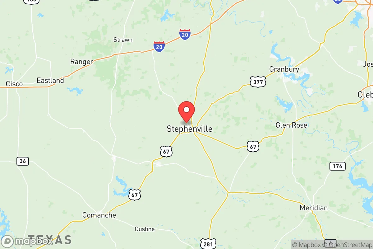
Erath County, Texas, offers a compelling strategic position for those prioritizing resilience and self-sufficiency, balancing rural isolation with practical access to essential infrastructure. Located roughly 90 miles southwest of Fort Worth and 150 miles northwest of Austin, the county avoids the immediate fallout zones of major metropolitan areas while remaining within a day’s drive of critical supply chains and medical hubs. Its population of roughly 45,000, centered around the county seat of Stephenville, provides a low-density environment where community ties and local governance remain intact—a key advantage for those concerned with civic stability during periods of unrest.
Geographic position and natural advantages for long-term security
Erath County sits atop the Comanche Peak Plateau, a region characterized by rolling hills, limestone bedrock, and reliable groundwater aquifers—a combination that supports both agriculture and independent water sourcing. The area’s elevation, averaging 1,200 feet above sea level, provides natural drainage and reduces flood risks compared to the coastal plains. The Paluxy River and the Bosque River watersheds run through the county, offering surface water sources that can be developed with proper permits and filtration. For a relocator, this means the ability to drill a private well (typical depths of 200–400 feet) and establish a sustainable water supply independent of municipal systems. The county’s agricultural heritage—dairy farming, cattle ranching, and hay production—means that local food networks are robust, with farmers’ markets in Stephenville and Dublin providing direct access to fresh produce and meat. The climate is temperate, with hot summers and mild winters, reducing the energy burden for heating and cooling compared to northern states.
Risks, exposures, and proximity to fallout-relevant landmarks
While Erath County avoids the direct blast zones of major cities, it is not without strategic vulnerabilities. The most significant nearby landmark is the Comanche Peak Nuclear Power Plant, located roughly 30 miles southeast in Somervell County. This facility, operated by Luminant, is a two-unit pressurized water reactor that generates 2,300 megawatts. In a worst-case scenario—whether from accident, sabotage, or wartime targeting—the county lies within the 50-mile ingestion exposure zone defined by the NRC. However, prevailing winds from the south and southwest typically carry fallout away from Erath County, and the distance provides time for evacuation or shelter-in-place protocols. Another concern is the proximity to Fort Cavazos (formerly Fort Hood), roughly 70 miles south, a major Army installation that could become a focal point for military mobilization or civil unrest. The county is also within 200 miles of the Houston refinery corridor, meaning that fuel supply disruptions or industrial accidents could ripple into the area. On the positive side, Erath County has no major refineries, chemical plants, or ports, reducing the risk of targeted strikes or cascading industrial failures. The county’s rural road network—primarily U.S. Highway 67, U.S. Highway 281, and State Highway 6—provides multiple egress routes, but these can become congested during mass evacuations, particularly toward the Dallas-Fort Worth metroplex.
Practical resilience for a relocator: food, water, energy, and defensibility
For a relocator focused on self-sufficiency, Erath County offers a strong foundation. Water access is the primary advantage: the Trinity Aquifer system underlies the county, and private well drilling is common, with costs ranging from $5,000 to $15,000 depending on depth and yield. Rainwater catchment is also viable, with average annual rainfall of 32 inches. For food production, the county’s agricultural extension office in Stephenville provides resources for small-scale farming, including soil testing and livestock management. The local climate supports year-round gardening with season extension techniques. Energy resilience is achievable through solar photovoltaic systems, as the region averages 220 sunny days per year, and net metering is available through local cooperatives like United Cooperative Services. Natural gas is widely available in rural areas, and propane delivery is reliable for backup heating and cooking. Defensibility is a mixed picture: the open terrain offers good visibility but limited natural cover, meaning that a property with a defensible perimeter—such as a fenced acreage with a creek or tree line—is preferable. The county’s low crime rate (roughly 2.5 violent crimes per 1,000 residents in 2024) reduces the likelihood of home invasions during normal times, but during civil unrest, the rural character means that law enforcement response times can exceed 20 minutes in remote areas. Building a community network with like-minded neighbors is essential for mutual aid and perimeter security.
The overall strategic picture for Erath County is one of balanced risk and reward. It avoids the acute dangers of coastal hurricane zones, major industrial corridors, and dense urban populations, while offering the natural resources and infrastructure needed for long-term self-reliance. The presence of the Comanche Peak nuclear plant is a real but manageable risk, mitigated by distance and prevailing wind patterns. For a conservative-leaning relocator—whether a single individual or a family—the county provides a viable base for a prepared lifestyle, with the ability to develop independent water, food, and energy systems. The key trade-off is the need to invest in property improvements (wells, solar, fencing) and to cultivate local relationships that can serve as a safety net during crises. Stephenville serves as a practical hub for supplies and medical care, while the surrounding rural areas offer the isolation that many preppers seek. In a scenario of prolonged civil unrest or economic collapse, Erath County’s agricultural base and low population density make it a defensible and sustainable choice, provided the relocator arrives with a plan and the resources to execute it.
* Values derived from national, state, county, city and local statistics and may differ in a specific area. Last updated: 2026-05-22T08:29:00.000Z
Narrative content on this page is AI-generated and may contain mistakes. Verify any details that matter before acting on them.
ReloMaps may earn a commission from affiliate links at no extra cost to you.