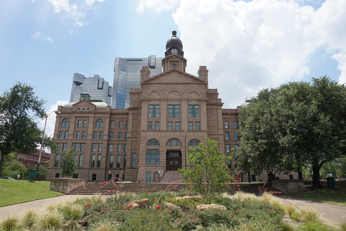
Photo: Wikipedia
Strategic Assessment of Tarrant County
Multiple tactical vulnerabilities. Population density, target proximity, or disaster risk are likely compounding. A retreat property and exit planning is required.
What does the Strategic Assessment tell us?
Our Strategic Assessment grades tactical survivability of an area. Major population centers, military targets, fallout zones, natural disasters, and border exposure all drive risk — lower exposure means a more defensible position in a crisis.
This is heavily inspired by Joel Skousen's Strategic Relocation book. Highly recommended you checkout the book ($)What does this tell us?
Our Strategic Assessment grades tactical survivability of an area. Major population centers, military targets, fallout zones, natural disasters, and border exposure all drive risk — lower exposure means a more defensible position in a crisis.
This is heavily inspired by Joel Skousen's Strategic Relocation book. Highly recommended you checkout the book ($)Strategic Pillars

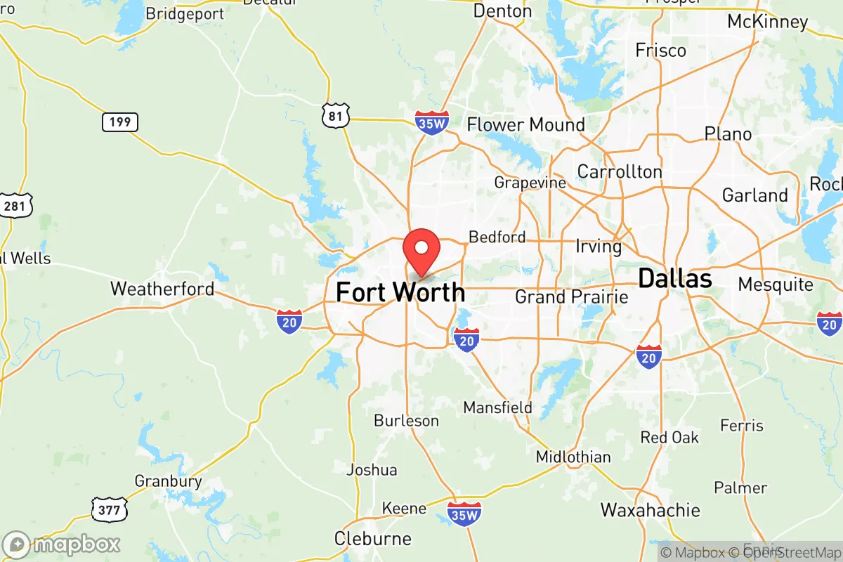
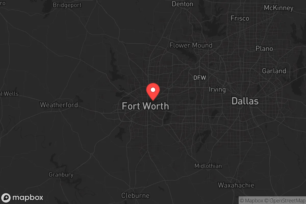
Key Distances
Strategic Assessment Analysis
Tarrant County offers a mixed bag for the strategic relocator, and you need to look at it with clear eyes. On one hand, its position in the North Texas region provides a degree of geographic insulation from coastal storm surges and the immediate fallout zones of the Gulf Coast's refinery corridor. On the other, it sits squarely in the middle of the Dallas-Fort Worth metroplex, a massive population and logistics hub that would be a primary target for any major disruption, whether economic collapse, civil unrest, or a larger-scale event. The county’s resilience is real, but it’s a conditional resilience—one that depends heavily on your specific location within the county and your ability to leverage its advantages while mitigating its glaring vulnerabilities.
Geographic position and natural advantages for long-term stability
Tarrant County’s primary strategic asset is its location in the interior of the country, far from the hurricane-prone coasts and the seismic instability of the West Coast. The terrain is mostly rolling plains and prairies, which offers decent drainage and avoids the floodplain nightmares of Houston or the wildfire corridors of California. The Trinity River runs through the county, but its flood risk is localized and well-documented, not a basin-wide catastrophe. The climate is hot and dry in summer, cold in winter, but it’s a four-season environment that supports a longer growing season than the northern states—a real plus if you’re thinking about long-term food security. The county’s position also places it within a day’s drive of multiple major military installations, including Fort Cavazos (formerly Fort Hood) to the south and Naval Air Station Joint Reserve Base Fort Worth within the county itself. These bases represent a concentration of disciplined personnel and logistical capacity that could be a stabilizing force in a crisis, though they also represent a potential target. The Barnett Shale natural gas fields lie beneath much of the area, providing a local energy resource that is a genuine advantage for grid resilience and heating fuel, assuming you have the means to access it.
Risks, exposures, and proximity to fallout-relevant landmarks
Here’s where the analysis gets sobering. Tarrant County is not a retreat; it’s a hub. The city of Fort Worth itself is home to the Fort Worth Stockyards and a major livestock market, which is a positive for food logistics, but it’s also a dense urban center with all the attendant risks of civil unrest, supply chain disruption, and disease spread. The county contains the Dallas/Fort Worth International Airport (DFW), one of the busiest in the world—a massive choke point and a likely vector for any pandemic or biosecurity event. The AllianceTexas development in the northern part of the county is a massive industrial and logistics hub, including a FedEx hub and a BNSF intermodal facility. In a crisis, that area becomes a target for looting, a bottleneck for movement, and a source of electromagnetic pulse (EMP) vulnerability due to the concentration of electronics and fuel. The Pantex Plant, the nation’s primary nuclear weapons assembly and disassembly facility, is about 300 miles west in Amarillo—close enough that a major event there would have fallout implications for the entire state, but not so close that Tarrant County would be in the immediate blast zone. More concerning are the numerous chemical plants and refineries along the Gulf Coast, particularly around Houston and Texas City. A major release or attack on those facilities could send a toxic plume northward, and Tarrant County is directly in the prevailing wind path. The county’s own industrial base, including the Fort Worth petroleum refineries and the Lockheed Martin plant (home of the F-35), makes it a high-value target in any conflict scenario.
Practical resilience for a relocator: food, water, energy, and defensibility
For the individual or family looking to hunker down, Tarrant County requires a very specific strategy. Water is the first concern: the county relies on a network of reservoirs, including Lake Worth, Eagle Mountain Lake, and Lake Arlington. These are finite and vulnerable to contamination or drawdown during a prolonged drought or grid failure. You cannot rely on municipal water; you need a private well, a rainwater catchment system, or a plan to haul water from a reliable source. The Trinity River is a water source, but it’s heavily polluted in stretches and requires serious filtration. Food security is more promising: the county has a surprising amount of agricultural land, particularly in the eastern and southern rural pockets near Mansfield and Burleson. Small-scale farming, livestock, and community gardens are viable, but you need to be outside the dense suburban sprawl to make it work. Energy is a relative strength: the Barnett Shale provides natural gas for heating and cooking, and the Texas grid, while fragile, is independent from the rest of the country. A solar array with battery backup is a wise investment here, as the grid is prone to failure during extreme weather events like the 2021 winter storm. Defensibility is the weakest point. Most of Tarrant County is suburban sprawl—cul-de-sacs, strip malls, and interconnected neighborhoods. There is no natural chokepoint or defensible terrain. You need to choose a location with a single access road, a rural buffer, and a community of like-minded individuals. The Fort Worth suburbs like Aledo or Azle offer more rural options, but they are still within a 30-minute drive of the urban core. The county’s population density—over 2 million people—means that any major event will trigger a mass exodus, clogging highways like I-35W, I-30, and I-20. Your bug-out route must be planned for secondary roads, not interstates.
The overall strategic picture for Tarrant County is one of calculated risk. It is not a survivalist’s paradise, nor is it a doomed urban death trap. It offers genuine advantages in energy, water access, and interior location, but those are offset by its status as a major population and industrial target. For the conservative relocator who values community, economic opportunity, and a degree of preparedness, the county can work—but only if you are willing to live on the fringe, invest in off-grid infrastructure, and maintain a low profile. The key is to be in Tarrant County, but not of it. Choose a rural pocket, build your network, and keep your head down. The county’s resilience is real, but it’s a resilience that requires active participation, not passive assumption.
* Values derived from national, state, county, city and local statistics and may differ in a specific area. Last updated: 2026-04-13T02:41:30.000Z
Narrative content on this page is AI-generated and may contain mistakes. Verify any details that matter before acting on them.
ReloMaps may earn a commission from affiliate links at no extra cost to you.