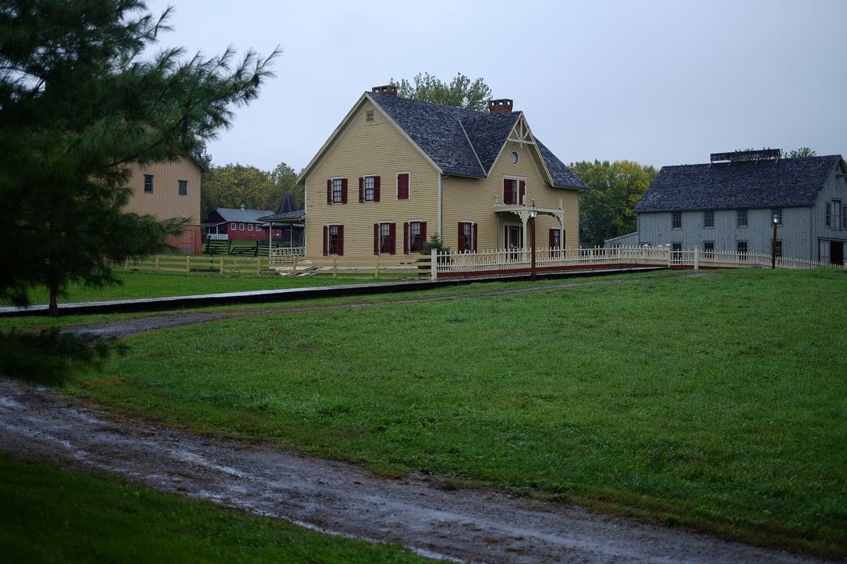
Photo: Wikipedia
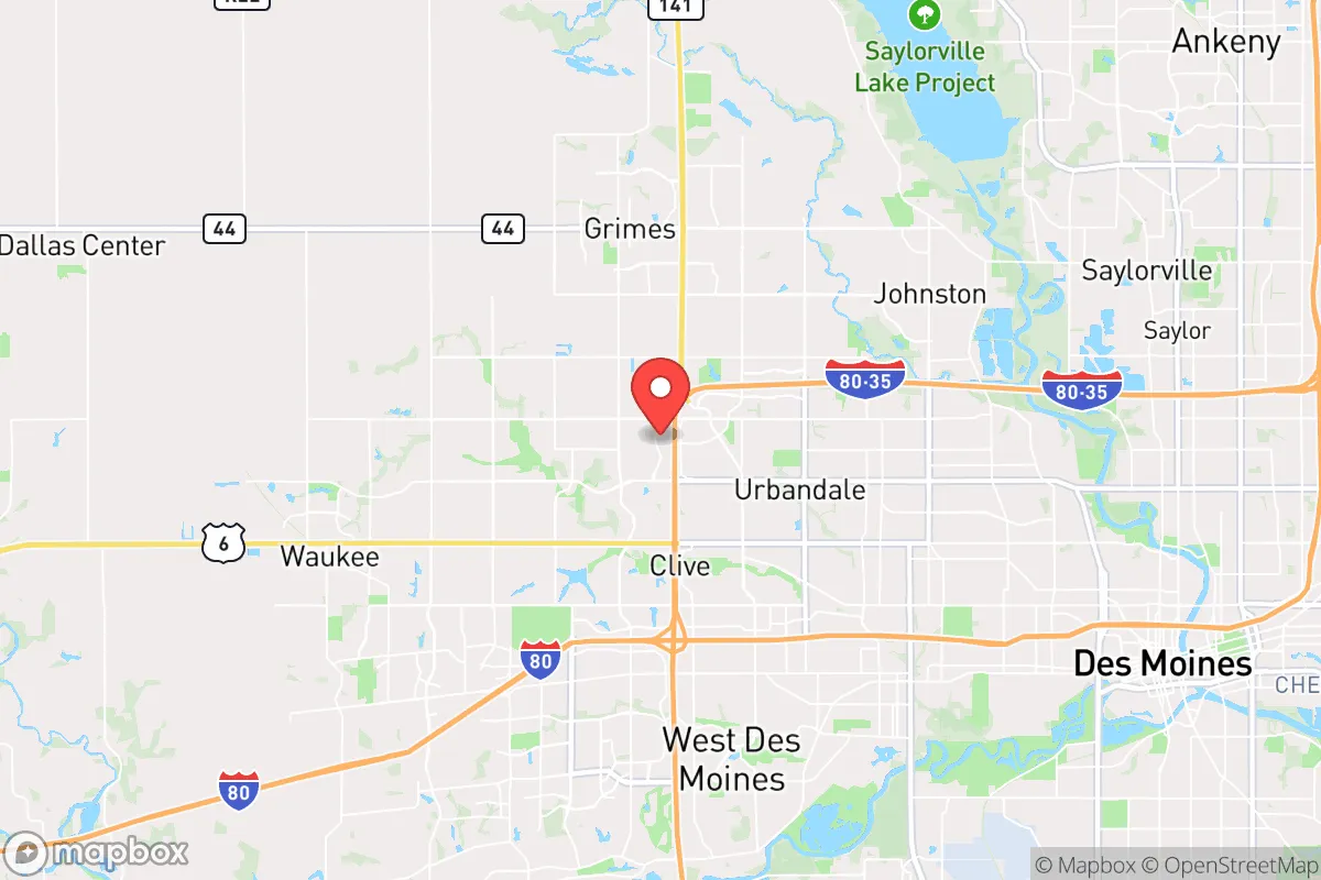
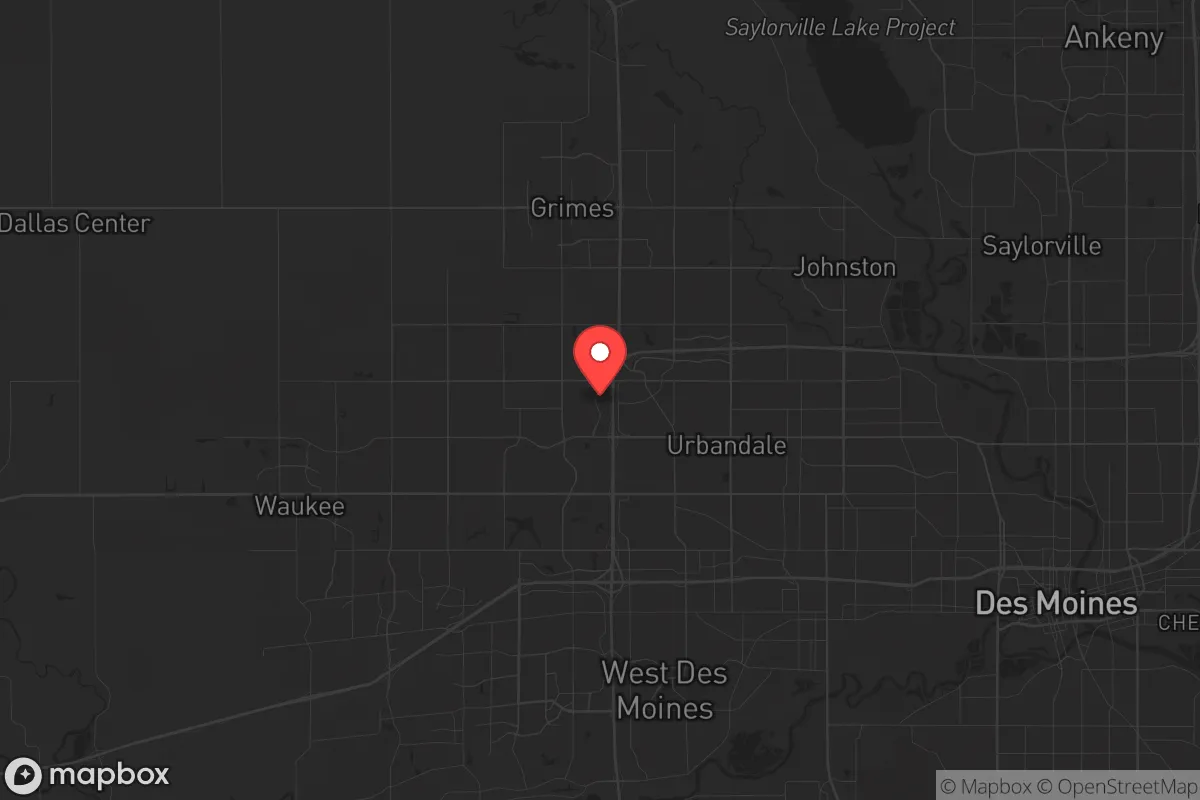
Strategic Assessment of Urbandale, IA
Meaningful friction. Expect exposure to either population pressure, blast zones, or natural disaster risk. Consider buying a retreat property.
What does the Strategic Assessment tell us?
Our Strategic Assessment grades tactical survivability of an area. Major population centers, military targets, fallout zones, natural disasters, and border exposure all drive risk — lower exposure means a more defensible position in a crisis.
This is heavily inspired by Joel Skousen's Strategic Relocation book. Highly recommended you checkout the book ($)What does this tell us?
Our Strategic Assessment grades tactical survivability of an area. Major population centers, military targets, fallout zones, natural disasters, and border exposure all drive risk — lower exposure means a more defensible position in a crisis.
This is heavily inspired by Joel Skousen's Strategic Relocation book. Highly recommended you checkout the book ($)Strategic Pillars

Key Distances
Regional Safe Places
Below is our recommended "safe zones" in Iowa and the surrounding area based on our strategic heuristics. For most people, it's unrealistic to live in a “safe zone” full-time due to work, family or other personal reasons. They tend to be more rural. However, many of these areas are perfect for second homes and retreat properties that double as a vacation home or even a short-term rental.


Important Note: For informational purposes only. This does not mean nothing bad ever happens in the green zones. Please use common sense. This is based on public data and modeled with AI. We tried to take a conservative approach but mistakes happen. We update this regularly as new information becomes available.
Solar Generator Recommendations
Backup power matters more here than in safer locations. We've picked three solar generators across budgets and capacity tiers — start with the budget unit if you only need a few essentials, or step up if you want to run a fridge and HVAC for days at a time.

Jackery Portable Power Station Explorer 300
Budget OptionPower on the Go: Weighing only 11 lbs, it's convenient to set up and store with book-sized foldable solar panels

BLUETTI Portable Power Station AC180
Designed for both indoor and outdoor scenarios, AC180 is highly capable as it has a robost capacity and continuous output power.

EF ECOFLOW DELTA Pro Ultra Power Station
Upgraded PickEcoFlow DELTA Pro Ultra is a whole-home energy system designed to grow with your family. Integrated with the Smart Home Panel 2, it scales to meet your evolving energy needs — keeping your home powered, intelligent, and secure through every stage of life.
We earn a commission, at no additional cost to you.
Strategic Assessment Analysis
Urbandale, Iowa, offers a strategic relocation option for those prioritizing resilience, sitting squarely in the "Goldilocks zone" of proximity—close enough to Des Moines for supply runs and employment, yet far enough to avoid the immediate blast radius of a major metropolitan target. Its position along the I-35 and I-80 corridors provides critical logistical flexibility, but those same arteries are also chokepoints during a crisis. For a conservative-leaning prepper, the city's real advantage lies in its blend of suburban infrastructure and access to rural escape routes, though it demands a clear-eyed assessment of its vulnerabilities in a deteriorating national scenario.
Geographic position and natural advantages for long-term survival
Urbandale sits in central Iowa's gently rolling plains, a landscape that offers both agricultural potential and limited natural concealment. The area's deep, fertile topsoil—part of the Corn Belt—means that even a modest suburban lot can support a high-yield garden, a critical asset for food security when supply chains falter. The Raccoon and Des Moines Rivers are within a 15-minute drive, providing a surface water source for filtration and irrigation, though they are also vulnerable to agricultural runoff and upstream contamination. The region's low population density relative to the coasts (Polk County averages about 800 people per square mile, versus 1,200+ in comparable Midwestern suburbs) reduces competition for resources during a breakdown. Winters are harsh, with average January lows around 14°F, which naturally limits the mobility of unprepared transient populations and preserves stored food longer. The lack of major fault lines, hurricane zones, or wildfire-prone terrain means the primary natural threats are blizzards and tornadoes—both predictable and survivable with proper shelter and supplies.
Risks, exposures, and proximity to fallout-relevant landmarks
The most significant strategic liability is Urbandale's location just 8 miles northwest of downtown Des Moines, a regional hub for insurance, finance, and government. In a major conflict or terrorist event, Des Moines' federal buildings (including the Federal Building and the U.S. Courthouse) and the nearby Camp Dodge military installation in Johnston make it a plausible secondary target. The city also sits within 50 miles of the Duane Arnold Energy Center (a decommissioned nuclear plant near Palo), which, while no longer active, still stores spent fuel on-site—a potential radiological hazard if compromised. Interstate 35 and I-80 intersect just east of Urbandale, creating a natural funnel for evacuees from Chicago, Minneapolis, and Kansas City during a national emergency. This means that in a collapse scenario, Urbandale could face waves of refugees moving through the corridor, straining local resources and security. The proximity to the Des Moines International Airport (12 miles south) is a double-edged sword: useful for evacuation flights, but also a likely target for aerial disruption or quarantine enforcement.
Practical resilience for a relocator: food, water, energy, and defensibility
For a serious prepper, Urbandale's suburban layout offers a mix of advantages and challenges. Most homes are on standard city water and sewer, which means you're dependent on municipal treatment plants—vulnerable to cyberattack or contamination. A well-installed property with a hand pump or solar-powered backup is a major upgrade, though many newer subdivisions restrict well drilling. The electrical grid is served by MidAmerican Energy, which has a reliable record but is centralized; a grid-down scenario would require solar panels with battery storage (net metering is available) or a generator with a buried propane tank. Food storage is straightforward: basements are common in older homes (pre-1990s construction), providing cool, dark space for long-term supplies. For defensibility, Urbandale's grid-like street pattern and cul-de-sacs create natural chokepoints that a determined group can secure, but the lack of elevation or dense tree cover means you're visible from a distance. The city's police force (about 50 sworn officers) is well-funded and professional, but in a prolonged crisis, they'll be stretched thin—neighborhood watch and mutual aid pacts with like-minded neighbors are essential. The Iowa Code's "stand your ground" law (no duty to retreat) and a shall-issue permitless carry system (effective July 2021) provide a legal framework for self-defense, though local ordinances may restrict firearm discharge within city limits.
The overall strategic picture for Urbandale is one of calculated compromise. It's not a remote bug-out location—you're still in the orbit of a mid-sized city with all the associated risks of civil unrest, supply chain disruption, and potential targeting. But for a relocator who wants to maintain a professional career while building a resilient homestead, it offers a rare balance: access to urban medical facilities (Iowa Methodist Medical Center, 15 minutes away) and rural farmland within a 20-minute drive. The key is to treat Urbandale as a base of operations, not a final redoubt. Establish a secondary property or cache in a more remote county (like Adair or Guthrie, 45 minutes west) for a true collapse scenario. In the meantime, the city's strong schools, low crime rates (violent crime at 1.2 per 1,000 residents, half the national average), and conservative-leaning local politics (Polk County voted +5 R in 2024, with Urbandale precincts often +10-15 R) make it a viable place to raise a family while quietly preparing for the worst. The question isn't whether Urbandale can survive a major event—it's whether you can build the network and supplies to thrive when the rest of the system falters.
* Values derived from national, state, county, city and local statistics and may differ in a specific area. Last updated: 2026-04-30T03:45:58.000Z
Narrative content on this page is AI-generated and may contain mistakes. Verify any details that matter before acting on them.
ReloMaps may earn a commission from affiliate links at no extra cost to you.