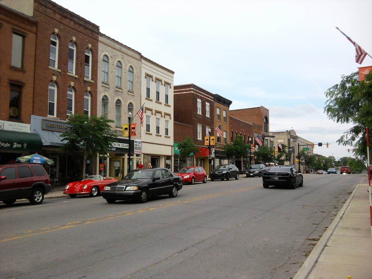

Photo: Wikipedia
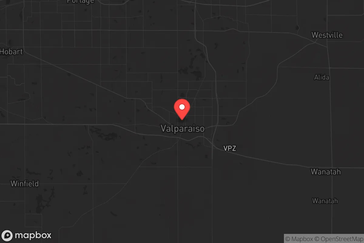
Strategic Assessment of Valparaiso, IN
Meaningful friction. Expect exposure to either population pressure, blast zones, or natural disaster risk. Consider buying a retreat property.
What does the Strategic Assessment tell us?
Our Strategic Assessment grades tactical survivability of an area. Major population centers, military targets, fallout zones, natural disasters, and border exposure all drive risk — lower exposure means a more defensible position in a crisis.
This is heavily inspired by Joel Skousen's Strategic Relocation book. Highly recommended you checkout the book ($)What does this tell us?
Our Strategic Assessment grades tactical survivability of an area. Major population centers, military targets, fallout zones, natural disasters, and border exposure all drive risk — lower exposure means a more defensible position in a crisis.
This is heavily inspired by Joel Skousen's Strategic Relocation book. Highly recommended you checkout the book ($)Strategic Pillars

Key Distances
Regional Safe Places
Below is our recommended "safe zones" in Indiana and the surrounding area based on our strategic heuristics. For most people, it's unrealistic to live in a “safe zone” full-time due to work, family or other personal reasons. They tend to be more rural. However, many of these areas are perfect for second homes and retreat properties that double as a vacation home or even a short-term rental.

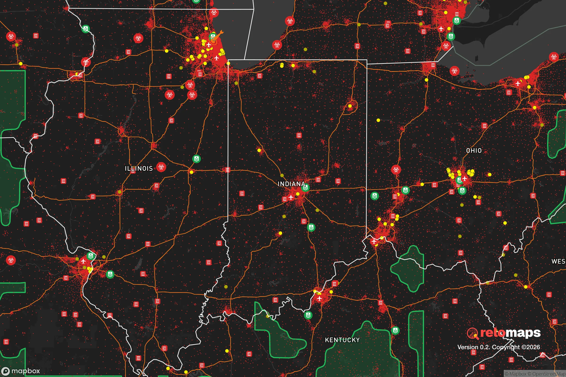
Important Note: For informational purposes only. This does not mean nothing bad ever happens in the green zones. Please use common sense. This is based on public data and modeled with AI. We tried to take a conservative approach but mistakes happen. We update this regularly as new information becomes available.
Solar Generator Recommendations
Backup power matters more here than in safer locations. We've picked three solar generators across budgets and capacity tiers — start with the budget unit if you only need a few essentials, or step up if you want to run a fridge and HVAC for days at a time.

Jackery Portable Power Station Explorer 300
Budget OptionPower on the Go: Weighing only 11 lbs, it's convenient to set up and store with book-sized foldable solar panels

BLUETTI Portable Power Station AC180
Designed for both indoor and outdoor scenarios, AC180 is highly capable as it has a robost capacity and continuous output power.

EF ECOFLOW DELTA Pro Ultra Power Station
Upgraded PickEcoFlow DELTA Pro Ultra is a whole-home energy system designed to grow with your family. Integrated with the Smart Home Panel 2, it scales to meet your evolving energy needs — keeping your home powered, intelligent, and secure through every stage of life.
We earn a commission, at no additional cost to you.
Strategic Assessment Analysis
Valparaiso, Indiana, sits in a deceptive sweet spot: close enough to Chicago to matter economically, but far enough to avoid being consumed by its collapse. For a relocator thinking in terms of decades, not election cycles, this town offers a rare combination of Midwestern industrial resilience and agricultural buffer. The real question isn’t whether Valparaiso is safe today—it’s whether it can stay functional when the grid flickers, the supply chains snap, and the cities burn. The answer, with caveats, is yes—if you understand where the real risks lie and how to exploit the area’s natural advantages.
Geographic position and natural advantages for long-term stability
Valparaiso sits about 50 miles southeast of Chicago’s Loop and roughly 15 miles inland from Lake Michigan. That distance is critical. It places the town outside the immediate blast radius of any major Chicago-targeting event—nuclear, EMP, or civil—while still allowing access to lake water and the Port of Indiana if things stabilize. The surrounding Porter County is flat, fertile, and dotted with small farms, woodlots, and the sprawling Indiana Dunes National Park. This isn’t mountain redoubt country, but it offers something arguably more practical for a prepper: defensible agricultural land with multiple water sources. The Kankakee River runs south of town, and the deep glacial aquifers beneath the region provide reliable well water—a non-negotiable for any long-term survival scenario. The terrain is open enough to see threats coming but broken enough by forest patches and ravines to offer concealment for a properly sited homestead. Winters are harsh, which acts as a natural population filter; the weak and unprepared tend to leave, not hunker down.
Risks, exposures, and proximity to fallout-relevant landmarks
The biggest liability is proximity to Chicago and the I-80/I-94 corridor. In a mass evacuation scenario, Valparaiso sits directly in the path of anyone fleeing east or south. U.S. Route 30 and State Road 49 would become chokepoints within hours, and the town’s population of roughly 35,000 could double with refugees before local authorities could react. The Gary/Chicago International Airport and the steel mills in East Chicago and Burns Harbor are high-value targets for any adversary. A conventional strike on the mills would send a toxic plume across Porter County depending on wind direction. There’s also the Palisades Nuclear Plant in Michigan, about 40 miles northeast—close enough that a catastrophic failure or attack would force a radiation evacuation zone that could include Valparaiso’s northern edge. On the plus side, the area has no major military bases, no federal command centers, and no obvious terrorist-drawing landmarks. The risk profile is moderate: you’re not living on a target, but you’re living on the escape route from one.
Practical resilience for a relocator: food, water, energy, and defensibility
For a single individual or family serious about self-sufficiency, Valparaiso offers a workable foundation. Porter County has some of the loosest well-permitting regulations in the Midwest; a drilled well is a straightforward project for a rural property. The county also allows rainwater catchment without the bureaucratic hurdles found in Colorado or California. Soil quality is excellent for vegetable gardens and small orchards—apples, pears, and cold-hardy berries thrive here. Local livestock ordinances are generally permissive outside city limits, with chickens and goats allowed on parcels as small as one acre in unincorporated areas. Energy resilience is trickier. The grid is reliable day-to-day but vulnerable to ice storms and cyberattacks. Solar is viable but winter production drops sharply; a propane generator with a 500-gallon buried tank is the standard backup for serious preppers in this region. Defensibility is situational. The town itself is a typical Midwestern grid—hard to defend, easy to patrol. But the rural fringe, especially south of U.S. 30 toward the Kankakee, offers isolated properties with tree cover, long sightlines, and limited road access. A properly chosen 5-10 acre parcel there can be made very hard to approach without warning. The local gun culture is strong but not militant; Porter County is a shall-issue area for carry permits, and the sheriff’s office is known for being pro-Second Amendment in practice, not just rhetoric.
Community, governance, and the human factor in a crisis
Valparaiso’s political leanings are a mixed bag that actually works in a prepper’s favor. The city itself votes reliably blue in presidential elections, but the county as a whole is purple trending red, with a strong libertarian streak in the rural precincts. That means local governance is pragmatic rather than ideological. The county emergency management office runs active-shooter and natural-disaster drills regularly, and the Valparaiso Police Department has a reputation for competence, not overreach. The presence of Valparaiso University brings a steady flow of educated, resourceful people—many of whom are not preppers but would become valuable community assets in a prolonged crisis. The downside is that the same university population includes a significant number of transient students who would likely flee home at the first sign of trouble, leaving behind empty dorms and potential looting targets. The local food scene is dominated by chain restaurants and a few farm-to-table operations, but the real resilience lies in the network of U-pick farms, farmers’ markets, and the Porter County Fairgrounds, which could serve as a distribution hub in a supply-chain disruption. There are at least three active ham radio clubs in the county, and the local amateur radio repeater network covers most of the region—a critical detail for post-collapse communication.
The strategic picture for Valparaiso is one of calculated trade-offs. You’re not getting the isolation of Montana or the defensibility of West Virginia. What you’re getting is a functioning small city with a real economy, real infrastructure, and a population that hasn’t yet forgotten how to fix things with their hands. The risks are real—Chicago’s shadow, the corridor problem, the industrial targets—but they’re manageable with proper planning. If you’re looking for a place to ride out the next decade while the country sorts itself out, Valparaiso offers a solid base camp. Just don’t buy on the north side of town, and make sure your bug-out route goes south, not west.
* Values derived from national, state, county, city and local statistics and may differ in a specific area. Last updated: 2026-04-19T19:56:08.000Z
Narrative content on this page is AI-generated and may contain mistakes. Verify any details that matter before acting on them.
ReloMaps may earn a commission from affiliate links at no extra cost to you.