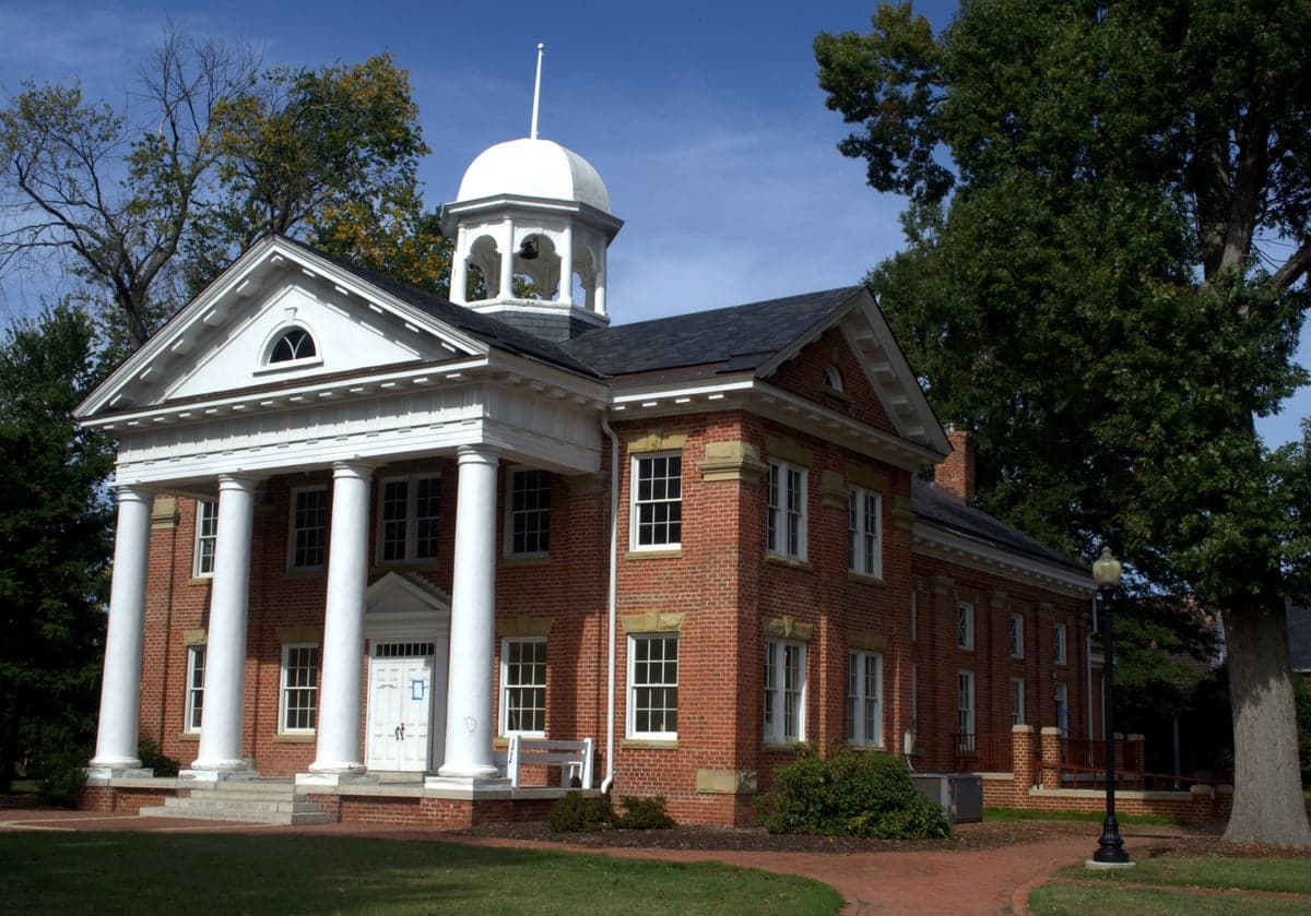
Photo: Wikipedia
Quality of Life in Chesterfield County
A livable area that tracks near national norms for affordability, walkability, and neighborhood health.
What does Quality of Life tell us?
Quality of Life measures an area by evaluating factors like cost of living, nearby amenities, country club access, airport proximity, socioeconomic signals and neighborhood character. For large states, this is a general average — quality of life can vary dramatically between metro areas, suburbs, and rural communities within the same state.
What does this tell us?
Quality of Life measures an area by evaluating factors like cost of living, nearby amenities, country club access, airport proximity, socioeconomic signals and neighborhood character. For large states, this is a general average — quality of life can vary dramatically between metro areas, suburbs, and rural communities within the same state.
Cost of Living
27% above national average
103%
The Real Cost of Living in Chesterfield County for 2026
| Tier | Individual | Family (4) |
|---|---|---|
| Survival | $25k | $46k |
| Comfortable | $65k | $96k |
| Luxury | $159k+ | $246k+ |
| Elite (Top 5%) | $187k+ | $289k+ |
Quality-of-Life Analysis
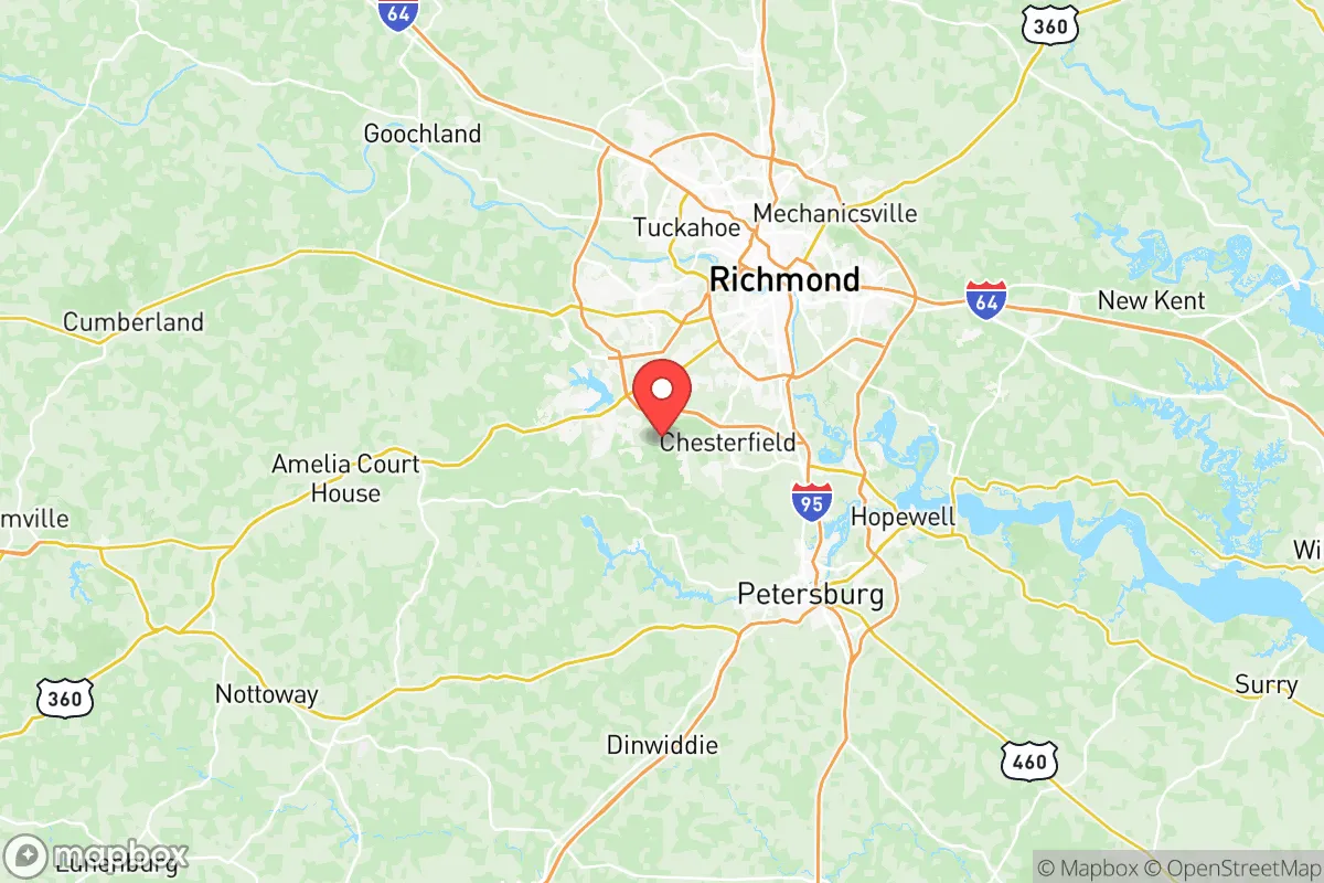
Chesterfield County, Virginia, offers a broad quality-of-life spectrum that spans dense suburban hubs, historic river towns, and working farmland, drawing everyone from Richmond commuters and young families to retirees seeking acreage. The county’s character shifts noticeably as you move from its eastern edge, where the James River meets suburban development, westward into rolling hills and agricultural pockets. This range means a resident in the county’s core can have a very different daily experience from someone living near the Appomattox River or the rural fringes of Moseley.
Largest town(s) & population centers
The county’s primary population anchor is the unincorporated community of Midlothian, which functions as Chesterfield’s de facto downtown. Daily life here is defined by the Midlothian Turnpike (US 60) and Hull Street Road (US 360) corridors, lined with big-box retail, medical offices, and chain restaurants. The area around Chesterfield Towne Center mall and the newer Westchester Commons development sees heavy traffic but offers the densest concentration of shopping and dining in the county. Just east, the community of Chester (centered on Iron Bridge Road and Route 1) provides a slightly older, more established suburban feel with its own schools and parks. Bon Air, a census-designated place near the Richmond city line, is a leafy, walkable enclave with older homes, mature trees, and a small commercial village that feels distinct from the rest of the county’s auto-oriented sprawl. These population centers share an average commute of roughly 26 minutes, slightly below the national average, thanks to multiple highway options including I-95, I-288, and Powhite Parkway.
Smaller towns & rural pockets
South and west of the suburban core, Chesterfield retains genuine rural character. The unincorporated community of Moseley, near the Amelia County line, is a growing but still low-density area of horse farms, new subdivisions on large lots, and country stores. Winterpock, further south, remains sparsely populated with scattered homes and agricultural land, though new development is creeping in along Route 360. Along the Appomattox River, the historic village of Ettrick (adjacent to Petersburg) offers a small-town feel with older homes and a connection to Virginia State University. The Brandermill and Woodlake planned communities near Swift Creek Reservoir are not towns but large-scale suburban neighborhoods with their own amenities—golf courses, lakes, and community centers—that function as self-contained lifestyle enclaves. These areas lack the retail density of Midlothian but provide more space, lower traffic, and direct access to parks like Pocahontas State Park and the Appomattox River Trail.
Cost & lifestyle range
The cost of living index in Chesterfield County is 127 (27% above the national average), placing it firmly in the mid-to-upper range for Central Virginia. The median home value of $336,700 and median rent of $1,542 reflect this premium, but the spread across the county is significant. At the higher end, neighborhoods in Midlothian’s Salisbury area and the Westchester Commons corridor see home values well above the county median, often exceeding $450,000 for newer single-family homes in subdivisions like Magnolia Green. These areas offer top-rated schools (such as Clover Hill High School and Midlothian High School), proximity to the St. Francis Medical Center complex, and easy access to I-288. At the lower end, older neighborhoods in Chester and parts of Bon Air offer homes in the $250,000–$300,000 range, while rental options near Virginia State University in Ettrick and along the Route 1 corridor can dip below the county median rent. Rural properties in Moseley and Winterpock offer the most land per dollar, with some homes on 2–5 acres available for under $350,000, though these areas lack public water and sewer infrastructure. The lifestyle trade-off is clear: pay more for convenience and schools in Midlothian, or trade commute time and amenities for space and quiet in the county’s western and southern reaches.
Chesterfield County best suits those who want suburban convenience with the option of rural space, all within a reasonable commute to Richmond. Families prioritizing Chesterfield County Public Schools (consistently among Virginia’s top-rated divisions) will gravitate toward Midlothian and Chester, while horse owners, hobby farmers, and those seeking lower property taxes per acre will find value in Moseley and Winterpock. Retirees and empty-nesters often choose Bon Air for its walkability and older housing stock. The county’s strength is that it offers genuine choice—not just between subdivisions, but between fundamentally different ways of living within a single jurisdiction.

Crime in Chesterfield County
Generally safer than 60% of comparable U.S. locations.
Violent CrimeViolent Crime Analysis
Property CrimeProperty Crime Analysis
Crime Analysis
Chesterfield County, Virginia, presents a mixed safety profile for potential residents: its violent crime rate of 209.8 incidents per 100,000 residents sits notably below the national average, while its property crime rate of 1,392.4 per 100,000 hovers near the national median. The county benefits from being part of the Richmond metropolitan area, but its suburban and exurban character means crime patterns differ sharply from the urban core. However, the county's justice system, overseen by the Chesterfield County Commonwealth's Attorney's Office, has historically taken a more conservative approach to prosecution compared to neighboring Richmond, which influences both crime statistics and resident perceptions of safety.
Crime in context
Chesterfield County's violent crime rate is roughly 40% lower than the national average of approximately 380 per 100,000, and significantly below Virginia's state average of about 240 per 100,000. Property crime at 1,392.4 per 100,000 is slightly below the national benchmark of 1,954 per 100,000 but aligns closely with Virginia's statewide figure. These numbers place Chesterfield among the safer large counties in the Richmond region, though not at the very bottom of the state's crime rankings. For comparison, neighboring Henrico County reports a violent crime rate near 250 per 100,000, while the city of Richmond itself exceeds 700 per 100,000. The contrast is stark: Chesterfield's conservative-leaning judicial district, which includes the 12th Judicial Circuit, has avoided the progressive prosecutorial reforms seen in Richmond, where the Commonwealth's Attorney has implemented policies like declining to prosecute certain low-level offenses. This ideological difference is a critical factor—progressive district attorneys in urban areas often correlate with higher recidivism and reduced public confidence, whereas Chesterfield's traditional approach prioritizes victim rights and public safety.
What residents experience
Residents in Chesterfield County most commonly encounter property crimes—vehicle break-ins, package thefts, and burglaries—rather than violent offenses. The county's suburban sprawl, with major corridors like Midlothian Turnpike and Hull Street Road, concentrates property crime near retail hubs and apartment complexes. Violent crime, when it occurs, tends to be domestic or acquaintance-related rather than random. The county's police department, which covers unincorporated areas, maintains a visible presence, and response times are generally under 10 minutes in most subdivisions. However, the county's proximity to Richmond means that spillover crime from the city—particularly auto theft and drug-related offenses—does reach Chesterfield's northern neighborhoods, such as those near the Chippenham Parkway corridor. Residents in communities like Bon Air and Woodlake report feeling safer than those in areas closer to the Richmond line, such as Bensley or Bellwood, where crime rates are slightly elevated.
Neighborhood-level variation
Safety in Chesterfield County varies notably by location. The western and southwestern portions—including Midlothian, Moseley, and Huguenot—consistently record the lowest crime rates, with violent crime often below 100 per 100,000 in some census tracts. These areas feature newer subdivisions, higher median incomes, and active homeowners' associations. In contrast, the eastern and northern edges of the county, particularly around Chester and Ettrick, see higher property crime and occasional violent incidents, driven by proximity to Interstate 95 and Richmond's urban core. The county's school district, Chesterfield County Public Schools, also reflects these divides: schools in the western half generally have better safety ratings and fewer incidents. For prospective residents, choosing a neighborhood west of State Route 288 or south of the James River typically yields the safest experience, while areas near the county's border with Richmond warrant closer scrutiny of block-level crime maps.
* Values derived from national, state, county, city and local statistics and may differ in a specific area. Last updated: 2026-08-24T06:56:48.000Z
Narrative content on this page is AI-generated and may contain mistakes. Verify any details that matter before acting on them.
ReloMaps may earn a commission from affiliate links at no extra cost to you.

