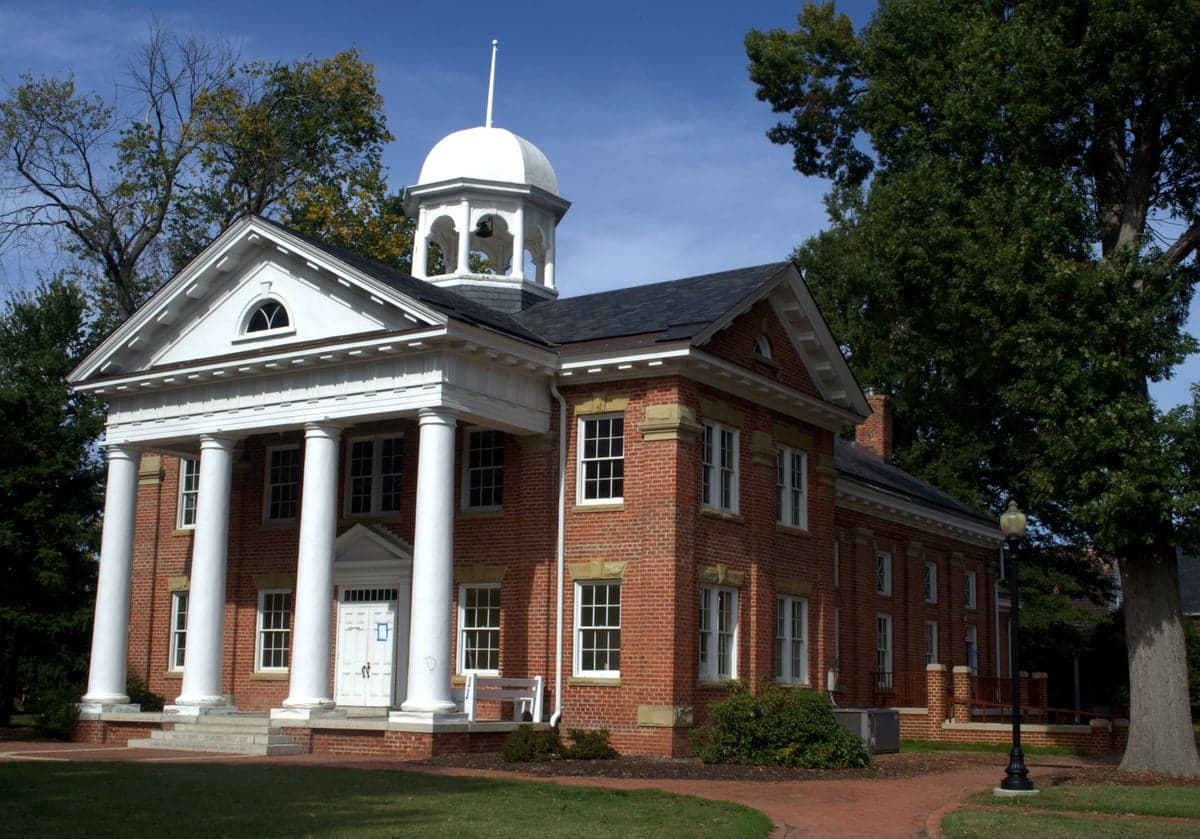
Photo: Wikipedia
Strategic Assessment of Chesterfield County
Meaningful friction. Expect exposure to either population pressure, blast zones, or natural disaster risk. Consider buying a retreat property.
What does the Strategic Assessment tell us?
Our Strategic Assessment grades tactical survivability of an area. Major population centers, military targets, fallout zones, natural disasters, and border exposure all drive risk — lower exposure means a more defensible position in a crisis.
This is heavily inspired by Joel Skousen's Strategic Relocation book. Highly recommended you checkout the book ($)What does this tell us?
Our Strategic Assessment grades tactical survivability of an area. Major population centers, military targets, fallout zones, natural disasters, and border exposure all drive risk — lower exposure means a more defensible position in a crisis.
This is heavily inspired by Joel Skousen's Strategic Relocation book. Highly recommended you checkout the book ($)Strategic Pillars

Key Distances
Strategic Assessment Analysis
Chesterfield County, Virginia, offers a compelling mix of strategic depth and practical resilience for relocators who prioritize self-sufficiency and disaster readiness. Its position in the Greater Richmond region provides access to urban resources while maintaining a distinctly suburban-to-rural character, with the James River forming a natural defensive boundary to the north and the Appomattox River to the south. The county’s 2024 population of roughly 380,000 is spread across 437 square miles, giving it a density low enough to avoid the worst of a metropolitan collapse but high enough to sustain essential services and community networks. For a conservative-leaning individual or family thinking seriously about long-term preparedness, Chesterfield’s combination of geographic buffers, water access, and agricultural land makes it a standout option in the Mid-Atlantic.
Geographic position and natural advantages for long-term stability
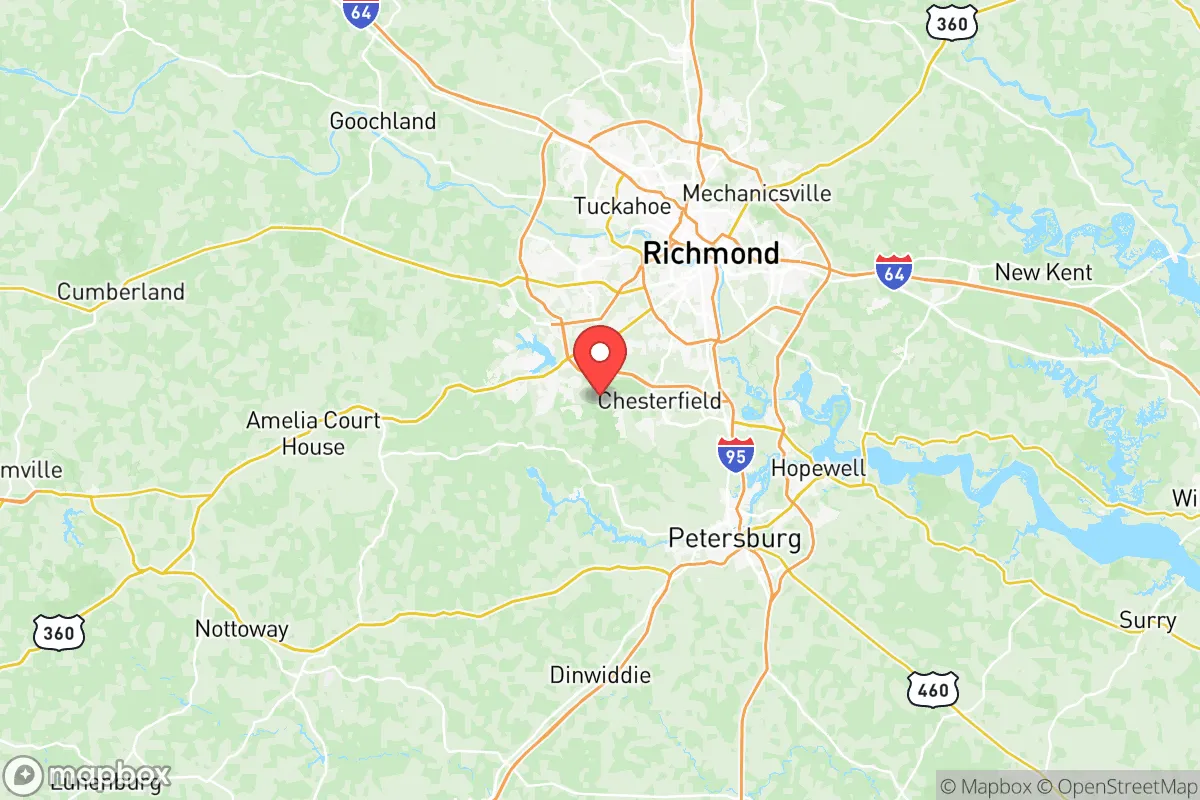
Chesterfield’s location is its strongest asset. The county sits at the fall line of the James River, where the Piedmont meets the Coastal Plain, giving it a mix of rolling hills and flat bottomlands that are ideal for both defensive positioning and sustainable agriculture. The James River provides a reliable freshwater source and a natural barrier to the north, while the Appomattox River forms a similar boundary to the south. The county’s interior is crisscrossed by smaller creeks and streams, including Swift Creek and Falling Creek, which offer secondary water sources and potential micro-hydropower sites. The terrain is generally well-drained and not prone to the flooding that plagues coastal Virginia, though low-lying areas near the rivers can see occasional inundation. The county’s position roughly 20 miles west of Richmond’s urban core means it is far enough from the city to avoid the worst of a metropolitan evacuation or civil unrest, yet close enough to access medical facilities, supply chains, and transportation hubs if needed. The presence of the Richmond International Airport and I-95 corridor to the east is a double-edged sword—useful for resupply but also a potential vector for disease or refugees in a crisis.
Risks, exposures, and proximity to fallout-relevant landmarks
Chesterfield is not without vulnerabilities. The most significant risk is its proximity to the Richmond metropolitan area, which includes the state capital, a major port (Port of Richmond), and several industrial facilities. The county itself hosts the Chesterfield Power Station, a natural gas and coal-fired plant on the James River that is a potential target for sabotage or accident. To the southeast, about 30 miles away, lies the Surry Nuclear Power Plant, a two-unit facility that, while generally well-maintained, represents a low-probability but high-consequence risk for fallout in the event of a catastrophic failure. Prevailing winds from the southwest would carry any plume toward the Norfolk area, but a shift could affect Chesterfield. The county also contains the Defense Supply Center Richmond (DSCR), a major military logistics hub that could become a target in a conflict. On the natural disaster front, Chesterfield is in a moderate seismic zone—the 2011 Mineral earthquake (magnitude 5.8) was felt strongly here—and is subject to occasional tornadoes and severe thunderstorms. Hurricanes rarely reach this far inland with full force, but remnants can bring flooding and power outages. The county’s wildfire risk is low, but the extensive forested areas in the western part of the county could pose a threat during prolonged drought.
Practical resilience for a relocator: food, water, energy, and defensibility
For a relocator focused on self-sufficiency, Chesterfield offers several practical advantages. The county has a strong agricultural base, with over 200 farms producing soybeans, corn, wheat, and livestock. The Chesterfield Cooperative Extension office in Midlothian provides resources for home gardening, soil testing, and livestock management, making it easier for newcomers to establish food security. Water is abundant: the James River alone provides a virtually unlimited supply, but the county also has a robust groundwater system, with the Potomac Aquifer underlying much of the area. Private wells are common in the western and southern parts of the county, and many homes already have them. For energy, the Chesterfield Power Station is a double-edged sword—it provides reliable grid power but is a single point of failure. Solar is viable here, with the county averaging about 200 sunny days per year, and several local installers offer off-grid systems. Wood heating is practical given the forested areas, and the county’s building codes allow for wood stoves and fireplaces. Defensibility is moderate: the James and Appomattox Rivers create natural chokepoints, and the county’s road network—dominated by a few major arteries like US-60, US-360, and VA-288—can be monitored and controlled. However, the terrain is not mountainous, so a determined adversary could approach from multiple directions. The county’s law enforcement presence is strong, with the Chesterfield County Police Department and the Sheriff’s Office maintaining a visible patrol presence, and the community is generally pro-Second Amendment, with several gun shops and ranges in the area.
The overall strategic picture for Chesterfield County is one of balanced resilience. It is not a remote bunker location, nor is it a high-risk urban core. It sits in a sweet spot: close enough to Richmond to access its hospitals, airports, and supply chains, but far enough to avoid the worst of a metropolitan collapse. The natural water supply, agricultural capacity, and moderate defensibility make it a viable long-term base for a family or small group. The primary risks—proximity to the Surry nuclear plant, the DSCR, and the Richmond metro area—are manageable with situational awareness and a solid plan for evacuation or shelter-in-place. For a conservative-leaning relocator who values community, self-reliance, and a low-key lifestyle, Chesterfield County represents a practical, data-backed choice in the Mid-Atlantic region.

* Values derived from national, state, county, city and local statistics and may differ in a specific area. Last updated: 2026-08-24T06:56:48.000Z
Narrative content on this page is AI-generated and may contain mistakes. Verify any details that matter before acting on them.
ReloMaps may earn a commission from affiliate links at no extra cost to you.

