Strategic Assessment of Danville City County
Meaningful friction. Expect exposure to either population pressure, blast zones, or natural disaster risk. Consider buying a retreat property.
What does the Strategic Assessment tell us?
Our Strategic Assessment grades tactical survivability of an area. Major population centers, military targets, fallout zones, natural disasters, and border exposure all drive risk — lower exposure means a more defensible position in a crisis.
This is heavily inspired by Joel Skousen's Strategic Relocation book. Highly recommended you checkout the book ($)What does this tell us?
Our Strategic Assessment grades tactical survivability of an area. Major population centers, military targets, fallout zones, natural disasters, and border exposure all drive risk — lower exposure means a more defensible position in a crisis.
This is heavily inspired by Joel Skousen's Strategic Relocation book. Highly recommended you checkout the book ($)Strategic Pillars

Key Distances
Strategic Assessment Analysis
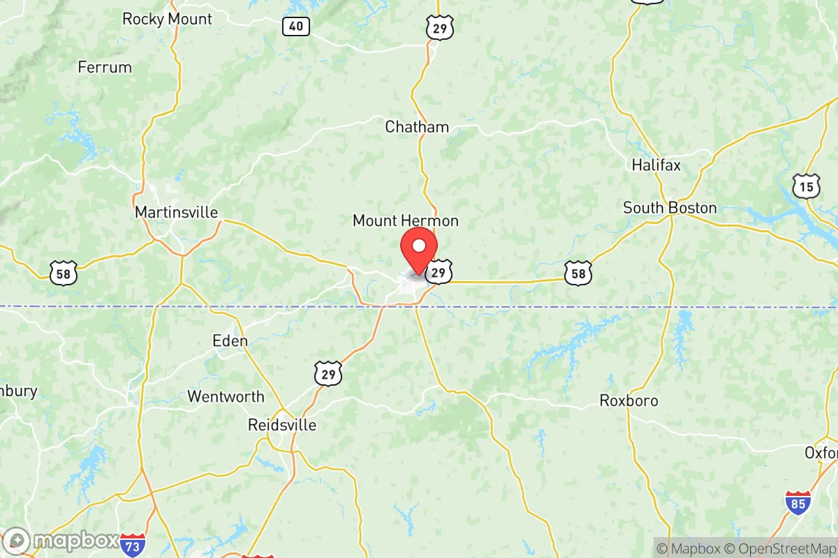
Danville City County, Virginia, occupies a unique strategic position in the Piedmont region, offering a blend of geographic isolation and practical resilience that appeals to relocators prioritizing self-sufficiency and disaster preparedness. Situated along the North Carolina border, roughly 45 miles from Greensboro and 70 miles from Raleigh-Durham, Danville sits far enough from major metropolitan centers to avoid the worst of urban fallout risks, yet remains connected via US-29 and the Danville Regional Airport. The area’s historical role as a tobacco and textile hub has left it with a sturdy industrial base, a declining but still functional rail network, and a population of roughly 42,000 that values community cohesion. For a conservative-leaning reader weighing relocation options, Danville’s combination of low population density, access to the Dan River, and distance from high-value targets like military bases or refineries makes it a defensible choice in an uncertain future.
Geographic position and natural advantages for self-sufficiency
Danville’s location in the southern Piedmont provides several inherent advantages for a relocator focused on resilience. The area sits on the fall line, where the Piedmont plateau meets the Coastal Plain, offering rolling hills, fertile soil, and reliable water sources without the floodplain risks of the Tidewater region. The Dan River runs through the city’s core, providing a perennial water supply that can support small-scale agriculture and emergency needs. The surrounding countryside—particularly to the west toward Martinsville and south toward Eden, North Carolina—features mixed hardwood forests and farmland, ideal for hunting, foraging, or subsistence farming. The climate is temperate, with four distinct seasons but no extreme weather patterns; the area averages about 45 inches of rainfall annually, reducing drought risk compared to the western US. Elevation ranges from 400 to 600 feet above sea level, offering natural drainage and defensible high ground in the rural outskirts. For a relocator, the key takeaway is that Danville’s geography supports long-term habitation without reliance on fragile supply chains—a critical factor for those planning for grid-down scenarios or supply disruptions.
Risks, exposures, and proximity to fallout-relevant landmarks
While Danville’s isolation is a strength, it is not immune to risks. The most significant man-made threat comes from its proximity to Greensboro, North Carolina (population 300,000+), which hosts a major FedEx hub, a regional airport, and several industrial parks. In a conflict or major disaster, Greensboro could become a secondary target or a source of refugee flow. Closer to home, Danville itself has a modest industrial footprint: the Danville Regional Airport is a general aviation facility with no military significance, but the city’s Dan River Plant (a former textile mill) and the Danville Industrial Park along US-29 could be considered minor economic targets. The Danville Dam on the Dan River, while small, poses a localized flood risk if breached. Natural hazards are limited: the area lies outside the hurricane-prone coastal zone, tornado activity is below the national average, and seismic risk is negligible. The real exposure for a relocator is not a direct strike but the secondary effects of a major event in the Mid-Atlantic corridor—specifically, the potential for refugees from Richmond (90 miles north) or Norfolk (120 miles east) to overwhelm local resources. Danville’s limited highway infrastructure (primarily US-29 and US-58) means that evacuation or supply routes could bottleneck quickly, especially if the Danville-Pittsylvania County bridge crossings are compromised.
Practical resilience for a relocator: food, water, energy, and defensibility
For a relocator serious about self-sufficiency, Danville offers a mixed but generally favorable picture. Water security is strong: the Dan River provides a year-round surface water source, and the city’s water treatment plant on West Main Street draws from it, though reliance on municipal infrastructure is a vulnerability. Private wells are common in the surrounding Pittsylvania County countryside, and the water table is accessible at depths of 50–150 feet. Food production is viable: the region’s growing season runs from April to October, and the soil—primarily sandy loam—supports corn, soybeans, tobacco, and vegetables. The Danville Farmers Market on Craghead Street is a hub for local produce, but for long-term resilience, relocators should plan to establish home gardens or partner with local farms in Chatham or Gretna. Energy independence is achievable: the area receives ample sunlight for solar panels (about 200 sunny days per year), and wood for heating is abundant in the surrounding national forests, including the Piedmont National Forest to the south. The local power grid is served by Dominion Energy, but rural areas are prone to outages during ice storms—a backup generator or off-grid solar setup is advisable. Defensibility is a mixed bag: Danville’s urban core is flat and open, but the rural outskirts offer natural chokepoints along the river and ridge lines. The Danville City County Sheriff’s Office and a small police force provide law enforcement, but in a prolonged crisis, community-based security would be essential. The area’s low crime rate (violent crime is about 30% below the national average) suggests a cooperative rather than adversarial social environment, which is a plus for building mutual aid networks.
The overall strategic picture for Danville City County is one of moderate resilience with clear trade-offs. It is not a hardened bunker location, but it offers a realistic balance of isolation, resources, and community for a relocator who wants to be prepared without living off-grid in the wilderness. The key vulnerabilities—proximity to Greensboro, limited evacuation routes, and reliance on a single river for water—are manageable with planning. For a conservative-leaning individual or family, Danville’s affordability (median home price around $150,000), low taxes, and cultural conservatism (the area voted +30 points Republican in 2024) align with a lifestyle of self-reliance and traditional values. The city’s ongoing revitalization efforts, including the Danville River District development, signal a community that is stable but not stagnant. In a worst-case scenario, Danville would likely be a secondary destination for refugees rather than a primary target, and its agricultural base and water access make it a defensible fallback position. For the relocator who values preparedness over paranoia, Danville represents a solid, grounded choice in the Mid-Atlantic region.

* Values derived from national, state, county, city and local statistics and may differ in a specific area. Last updated: 2026-08-14T04:05:07.000Z
Narrative content on this page is AI-generated and may contain mistakes. Verify any details that matter before acting on them.
ReloMaps may earn a commission from affiliate links at no extra cost to you.

