Photo: Wikipedia
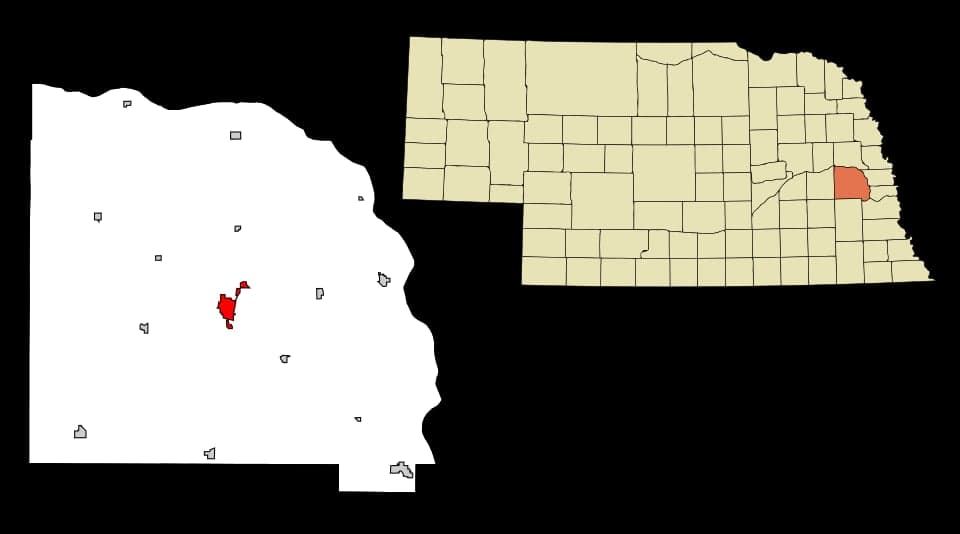
Strategic Assessment of Wahoo, NE
Workable tactical position. Some exposure to population density or targets, but generally defensible in a crisis.
What does the Strategic Assessment tell us?
Our Strategic Assessment grades tactical survivability of an area. Major population centers, military targets, fallout zones, natural disasters, and border exposure all drive risk — lower exposure means a more defensible position in a crisis.
This is heavily inspired by Joel Skousen's Strategic Relocation book. Highly recommended you checkout the book ($)What does this tell us?
Our Strategic Assessment grades tactical survivability of an area. Major population centers, military targets, fallout zones, natural disasters, and border exposure all drive risk — lower exposure means a more defensible position in a crisis.
This is heavily inspired by Joel Skousen's Strategic Relocation book. Highly recommended you checkout the book ($)Strategic Pillars

Key Distances
Regional Safe Places
Below is our recommended "safe zones" in Nebraska and the surrounding area based on our strategic heuristics. For most people, it's unrealistic to live in a “safe zone” full-time due to work, family or other personal reasons. They tend to be more rural. However, many of these areas are perfect for second homes and retreat properties that double as a vacation home or even a short-term rental.
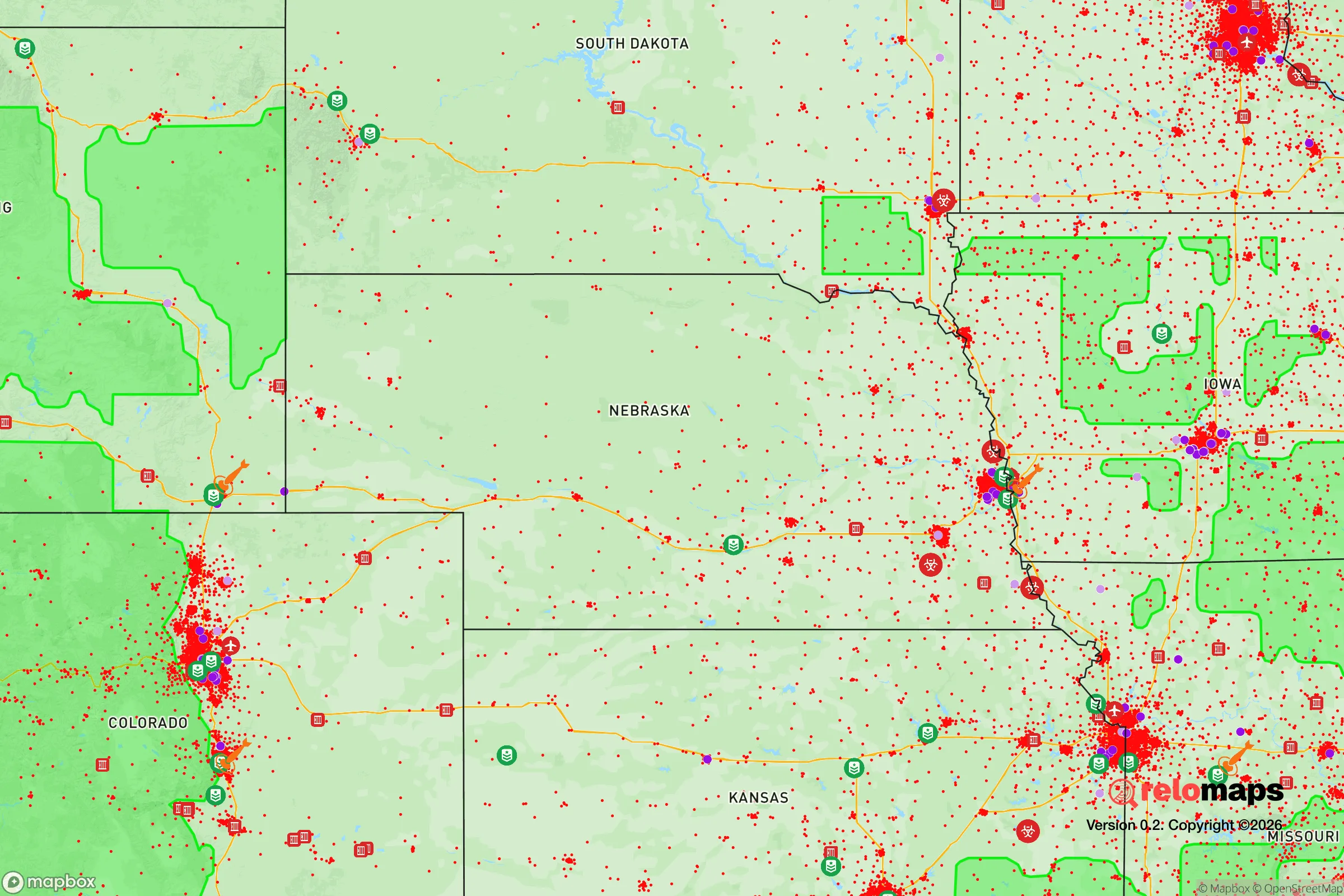
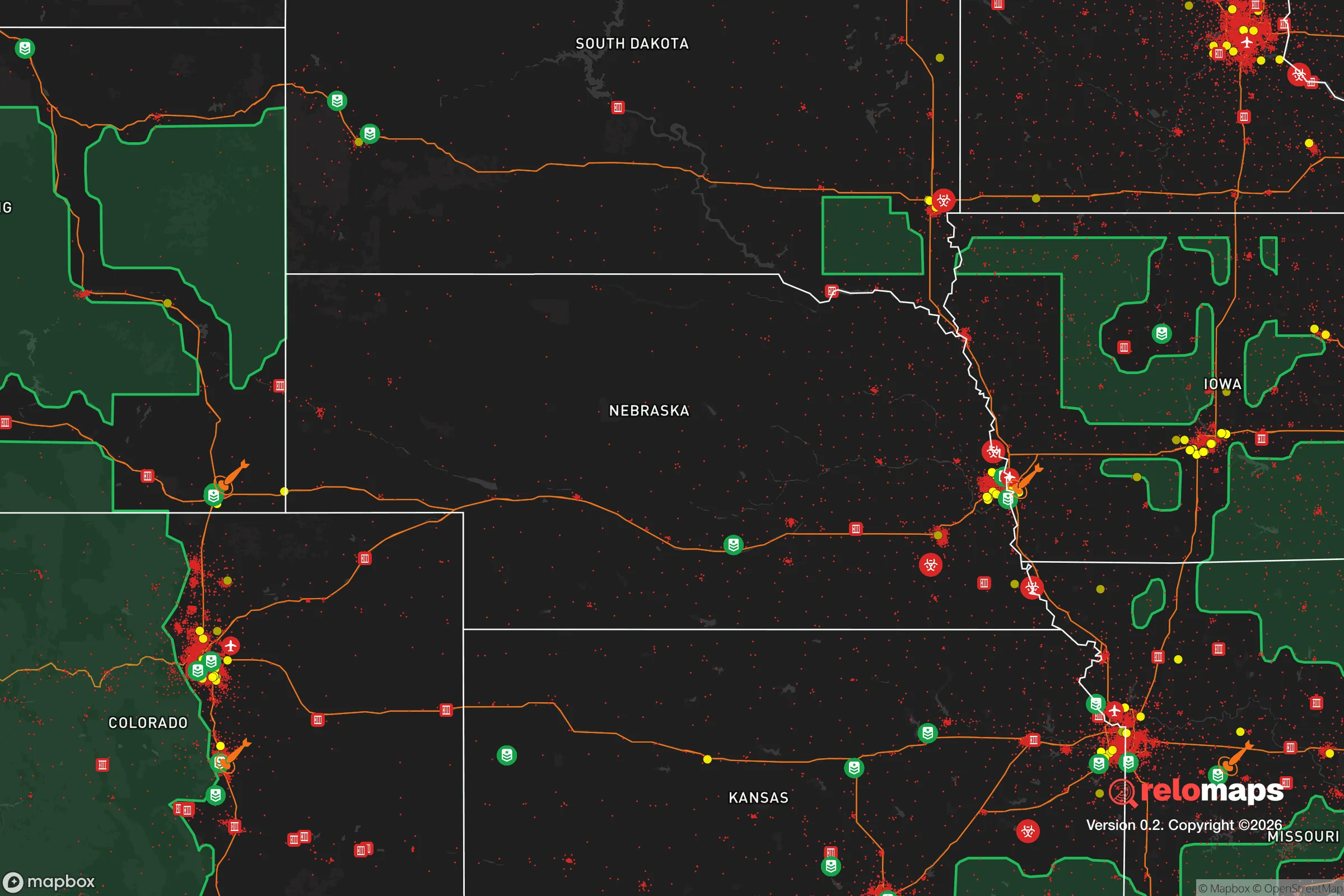
Important Note: For informational purposes only. This does not mean nothing bad ever happens in the green zones. Please use common sense. This is based on public data and modeled with AI. We tried to take a conservative approach but mistakes happen. We update this regularly as new information becomes available.
Solar Generator Recommendations
Backup power matters more here than in safer locations. We've picked three solar generators across budgets and capacity tiers — start with the budget unit if you only need a few essentials, or step up if you want to run a fridge and HVAC for days at a time.

Jackery Portable Power Station Explorer 300
Budget OptionPower on the Go: Weighing only 11 lbs, it's convenient to set up and store with book-sized foldable solar panels

BLUETTI Portable Power Station AC180
Designed for both indoor and outdoor scenarios, AC180 is highly capable as it has a robost capacity and continuous output power.

EF ECOFLOW DELTA Pro Ultra Power Station
Upgraded PickEcoFlow DELTA Pro Ultra is a whole-home energy system designed to grow with your family. Integrated with the Smart Home Panel 2, it scales to meet your evolving energy needs — keeping your home powered, intelligent, and secure through every stage of life.
We earn a commission, at no additional cost to you.
Strategic Assessment Analysis
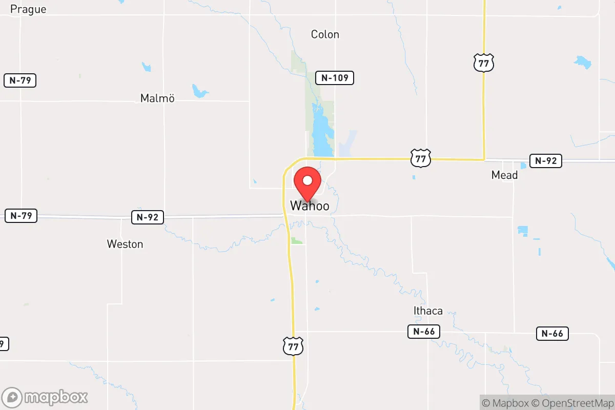
Wahoo, Nebraska, sits in a sweet spot that resilience-minded relocators rarely find: close enough to Omaha and Lincoln to access their resources, yet far enough to avoid the blast zones, civil unrest, and supply-chain choke points that plague major metro areas. With a population hovering around 4,500, this Saunders County seat offers a quiet, defensible position on the eastern edge of the Great Plains, where the Platte River Valley provides water, fertile soil, and a natural corridor for movement. For someone thinking about the next decade of potential disruptions—whether economic collapse, grid failure, or social unrest—Wahoo presents a low-profile, high-utility base that doesn't scream "prepper" but quietly checks the boxes.
Geographic position and natural advantages for long-term security
Wahoo's location is its strongest card. It sits roughly 35 miles west of Omaha and 40 miles northwest of Lincoln, putting it outside the likely blast radius of any major terrorist or state-actor strike on those cities' military or industrial targets. Offutt Air Force Base near Omaha, home to U.S. Strategic Command, is a high-value target in any conflict scenario—but Wahoo is far enough that fallout patterns would likely be manageable with basic sheltering and filtration. The surrounding Saunders County terrain is flat to gently rolling farmland, which offers clear sightlines for observation and limited cover for unwanted approaches. The Platte River runs just south of town, providing a reliable surface water source that can be tapped with simple filtration or well drilling. The area's aquifer is robust, and many rural properties already have private wells—a critical advantage if municipal water systems fail. The climate is continental, with cold winters and hot summers, but the growing season (roughly 150 days) is long enough for serious food production. The soil is some of the richest in the state, part of the Nebraska Loess Hills region, meaning a determined family could achieve significant food self-sufficiency within a few seasons.
Risks, exposures, and proximity to fallout-relevant landmarks
No location is without risk, and Wahoo has its share. The most obvious exposure is the proximity to Offutt Air Force Base (35 miles east), which in a major conflict would be a primary target for nuclear or conventional strikes. While Wahoo is outside the likely fireball radius, prevailing westerly winds mean fallout from a strike on Offutt could drift toward the area. A basement with a few inches of earth cover and a HEPA filter would mitigate this significantly. The Keystone Pipeline and other crude oil transport routes run through eastern Nebraska, and a rupture or sabotage event could contaminate local water tables—though the Platte River's flow and the area's groundwater depth offer some dilution. The Union Pacific mainline and Interstate 80 corridor run about 15 miles south of Wahoo, which is a double-edged sword: they provide supply routes but also attract refugees and looters during a crisis. The town's small size means it lacks a major hospital (the nearest trauma center is in Lincoln), and its police force is limited—roughly 8-10 officers. In a prolonged grid-down scenario, residents would need to rely on mutual aid networks and personal preparedness. Tornado risk is real, with an average of 1-2 touchdowns per decade in Saunders County, but the flat terrain makes them visible from miles away, giving time to shelter.
Practical resilience for a relocator: food, water, energy, and defensibility
For someone serious about self-reliance, Wahoo offers a practical foundation. Water is the first concern, and the area delivers: the Platte River alluvial aquifer is shallow and high-yield, and many homes outside city limits already have private wells. A hand pump or solar-powered pump can keep water flowing without grid power. The city's municipal water comes from groundwater wells, but a prepper should assume it could fail in a prolonged emergency and plan accordingly. Food production is straightforward here: the growing season supports corn, soybeans, wheat, and a wide range of vegetables, and the local agricultural culture means seeds, tools, and knowledge are readily available. The Saunders County Fairgrounds and local co-ops are potential hubs for barter and information. Energy resilience is manageable: the area gets over 200 sunny days per year, making solar panels a viable primary or backup power source. Wind is also consistent, and small wind turbines are common on rural properties. Natural gas is available in town, but rural properties often rely on propane or heating oil—stockpiling or converting to wood heat (the area has ample timber along the Platte) is wise. Defensibility is mixed: the town itself is laid out on a grid with open fields on most sides, making it hard to secure against a determined group. But a rural property with a long driveway, good sightlines, and a perimeter fence offers strong standoff. The local gun culture is robust—Nebraska is a shall-issue concealed carry state with no permit required for open carry—and the sheriff's office is responsive but stretched. Building relationships with neighbors is the real force multiplier here; the community is tight-knit and conservative-leaning, which means shared values around self-reliance and mutual aid.
The overall strategic picture for Wahoo is one of balanced, low-drama preparedness. It's not a remote mountain redoubt, and it's not a fortified compound—but it doesn't need to be. What it offers is a defensible, resource-rich position within striking distance of major infrastructure without being on top of it. The risks from Offutt, the pipeline, and the interstate are real but manageable with basic planning. The agricultural base, water access, and community cohesion give a relocator a solid platform for long-term survival without the isolation that can break morale. For a conservative-leaning individual or family looking to ride out the coming storms—whether economic, political, or environmental—Wahoo is a quiet, practical choice that won't draw attention but will hold its ground.
* Values derived from national, state, county, city and local statistics and may differ in a specific area. Last updated: 2026-05-03T20:32:13.000Z
Narrative content on this page is AI-generated and may contain mistakes. Verify any details that matter before acting on them.
ReloMaps may earn a commission from affiliate links at no extra cost to you.