
Photo: Wikipedia
Strategic Assessment of Waverly, IA
Workable tactical position. Some exposure to population density or targets, but generally defensible in a crisis.
What does the Strategic Assessment tell us?
Our Strategic Assessment grades tactical survivability of an area. Major population centers, military targets, fallout zones, natural disasters, and border exposure all drive risk — lower exposure means a more defensible position in a crisis.
This is heavily inspired by Joel Skousen's Strategic Relocation book. Highly recommended you checkout the book ($)What does this tell us?
Our Strategic Assessment grades tactical survivability of an area. Major population centers, military targets, fallout zones, natural disasters, and border exposure all drive risk — lower exposure means a more defensible position in a crisis.
This is heavily inspired by Joel Skousen's Strategic Relocation book. Highly recommended you checkout the book ($)Strategic Pillars

Key Distances
Regional Safe Places
Below is our recommended "safe zones" in Iowa and the surrounding area based on our strategic heuristics. For most people, it's unrealistic to live in a “safe zone” full-time due to work, family or other personal reasons. They tend to be more rural. However, many of these areas are perfect for second homes and retreat properties that double as a vacation home or even a short-term rental.


Important Note: For informational purposes only. This does not mean nothing bad ever happens in the green zones. Please use common sense. This is based on public data and modeled with AI. We tried to take a conservative approach but mistakes happen. We update this regularly as new information becomes available.
Solar Generator Recommendations
Backup power matters more here than in safer locations. We've picked three solar generators across budgets and capacity tiers — start with the budget unit if you only need a few essentials, or step up if you want to run a fridge and HVAC for days at a time.

Jackery Portable Power Station Explorer 300
Budget OptionPower on the Go: Weighing only 11 lbs, it's convenient to set up and store with book-sized foldable solar panels

BLUETTI Portable Power Station AC180
Designed for both indoor and outdoor scenarios, AC180 is highly capable as it has a robost capacity and continuous output power.

EF ECOFLOW DELTA Pro Ultra Power Station
Upgraded PickEcoFlow DELTA Pro Ultra is a whole-home energy system designed to grow with your family. Integrated with the Smart Home Panel 2, it scales to meet your evolving energy needs — keeping your home powered, intelligent, and secure through every stage of life.
We earn a commission, at no additional cost to you.
Strategic Assessment Analysis
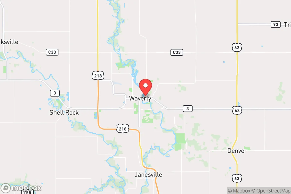
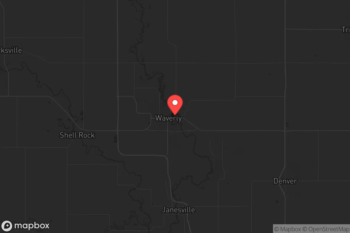
Waverly, Iowa, sits in a sweet spot that few relocators fully appreciate until they map the risks. It is a town of roughly 10,400 people, anchored in Bremer County along the Cedar River, and its resilience comes from being far enough from major metro chaos yet close enough to supply chains and medical infrastructure when things hold together. The town has a working Main Street, a regional hospital, and a community college — Wartburg College — which provides a steady influx of young people and a cultural anchor. For someone thinking about long-term stability, Waverly offers a blend of agricultural self-sufficiency, modest population density, and a political climate that leans conservative in practice, even if the state as a whole has shifted purple. The key question is whether this small Iowa town can hold its own when the systems that support modern life start to fray.
Geographic position and natural advantages for long-term stability
Waverly’s location in northeast Iowa places it roughly 100 miles from the Minneapolis-St. Paul metro area and about 90 miles from Des Moines. That distance is enough to buffer against the immediate fallout of urban unrest, supply chain disruptions, or a major disaster in those population centers, but not so far that you are completely cut off from medical evacuation or resupply if needed. The town sits in the Cedar River Valley, which means fertile soil, ample groundwater, and a climate that supports three-season gardening and modest livestock operations. The surrounding Bremer County is heavily agricultural — corn, soybeans, dairy, and some hog operations — so local food production is not a theoretical concept; it is the economic backbone. The Cedar River itself provides a surface water source, though it is not pristine and would require filtration and treatment. The region’s rolling hills and scattered woodlots offer some natural cover and defensible terrain, though nothing dramatic. Winters are cold and snowy, which acts as a natural deterrent to transient populations and forces residents to maintain practical skills like heating with wood, winterizing vehicles, and storing food. The lack of major interstate highways running directly through Waverly — it sits on US Highway 218 and State Highway 3 — means traffic is light and the town is not a natural chokepoint or target for large-scale movement during a crisis.
Risks, exposures, and proximity to fallout-relevant landmarks
No place is immune, and Waverly has its share of vulnerabilities. The most obvious is the Cedar River itself — the town has a history of flooding, most notably in 2008 and again in 2016, when water overwhelmed parts of the downtown and residential areas near the river. A major flood during a concurrent crisis — say, a pandemic or civil unrest — would compound problems by cutting roads, damaging infrastructure, and straining local emergency services. The town’s wastewater treatment plant and water supply are both river-adjacent, so a flood could compromise sanitation and drinking water simultaneously. On the man-made risk side, Waverly is about 30 miles from the Duane Arnold Energy Center, the now-decommissioned nuclear plant near Palo, Iowa. While the plant is shut down and fuel has been removed to dry cask storage, the site still holds radioactive material that could be a target for sabotage or a source of contamination in a major disaster. That is a real concern for anyone serious about fallout avoidance. Additionally, Waverly sits within 200 miles of the Minneapolis Federal Reserve, the Des Moines state government complex, and several National Guard armories — all potential flashpoints in a scenario involving federal overreach or civil conflict. The town itself has no major military or industrial targets, which is a net positive, but the rail lines running through town (the Canadian National Railway) could become a vector for hazmat spills or supply chain disruptions. The local hospital, Waverly Health Center, is a critical access facility with limited trauma capacity — fine for routine care, but not equipped for mass casualty events.
Practical resilience for a relocator: food, water, energy, and defensibility
For someone looking to set up a resilient household in Waverly, the practical picture is mixed but workable. Food security is the strongest card — the surrounding county produces enough calories to feed the local population many times over, and farmers markets, CSAs, and direct-from-farm purchasing are common. A relocator with land can raise chickens, goats, or a garden without drawing attention, and the growing season, while short (roughly 150 frost-free days), is productive for cold-hardy crops. Water is more of a concern. Municipal water comes from the Cedar River and is treated, but in a prolonged grid-down scenario, that treatment stops. A well is the gold standard, and properties outside city limits are more likely to have one. Inside town, a rainwater catchment system or a hand pump on an existing well would be necessary. Energy resilience is achievable but requires upfront investment. Natural gas is available in town, but the grid is vulnerable to ice storms and derecho events — the August 2020 derecho that flattened crops and damaged homes across Iowa is a recent memory. Solar with battery backup is legal and increasingly common in Bremer County, and wood stoves are a practical supplement for heating. Defensibility is where Waverly shows its limits. It is a small town with a walkable core, not a fortress. The police department is small (roughly a dozen officers), and the county sheriff’s office covers a large rural area. In a breakdown scenario, residents would need to rely on neighborhood mutual aid and personal preparedness. The town’s layout — a compact grid with river access on one side and farmland on the other — means that a determined group could secure a perimeter, but it would require coordination. The local gun culture is strong, and Iowa is a shall-issue state for permits, so armed preparedness is socially acceptable and legally straightforward.
Overall, Waverly presents a solid B-tier option for the strategic relocator who wants to be out of the blast radius of major cities but not completely isolated from infrastructure. It lacks the remote defensibility of a mountain valley or the self-sufficiency of a fully off-grid homestead, but it offers a realistic middle ground: a functioning small town with a conservative tilt, a working agricultural base, and enough distance from the worst of the fallout zones to buy time. The flood risk and the proximity to a decommissioned nuclear site are real liabilities that require mitigation — either by choosing higher ground outside the floodplain or by maintaining evacuation options. For the single individual or family willing to invest in a well, solar, and a good pantry, Waverly is a place where you can live a normal life while quietly preparing for the abnormal. It is not a bug-out location; it is a live-in location with a plan B. That is more than most places offer.
* Values derived from national, state, county, city and local statistics and may differ in a specific area. Last updated: 2026-04-20T06:24:44.000Z
Narrative content on this page is AI-generated and may contain mistakes. Verify any details that matter before acting on them.
ReloMaps may earn a commission from affiliate links at no extra cost to you.