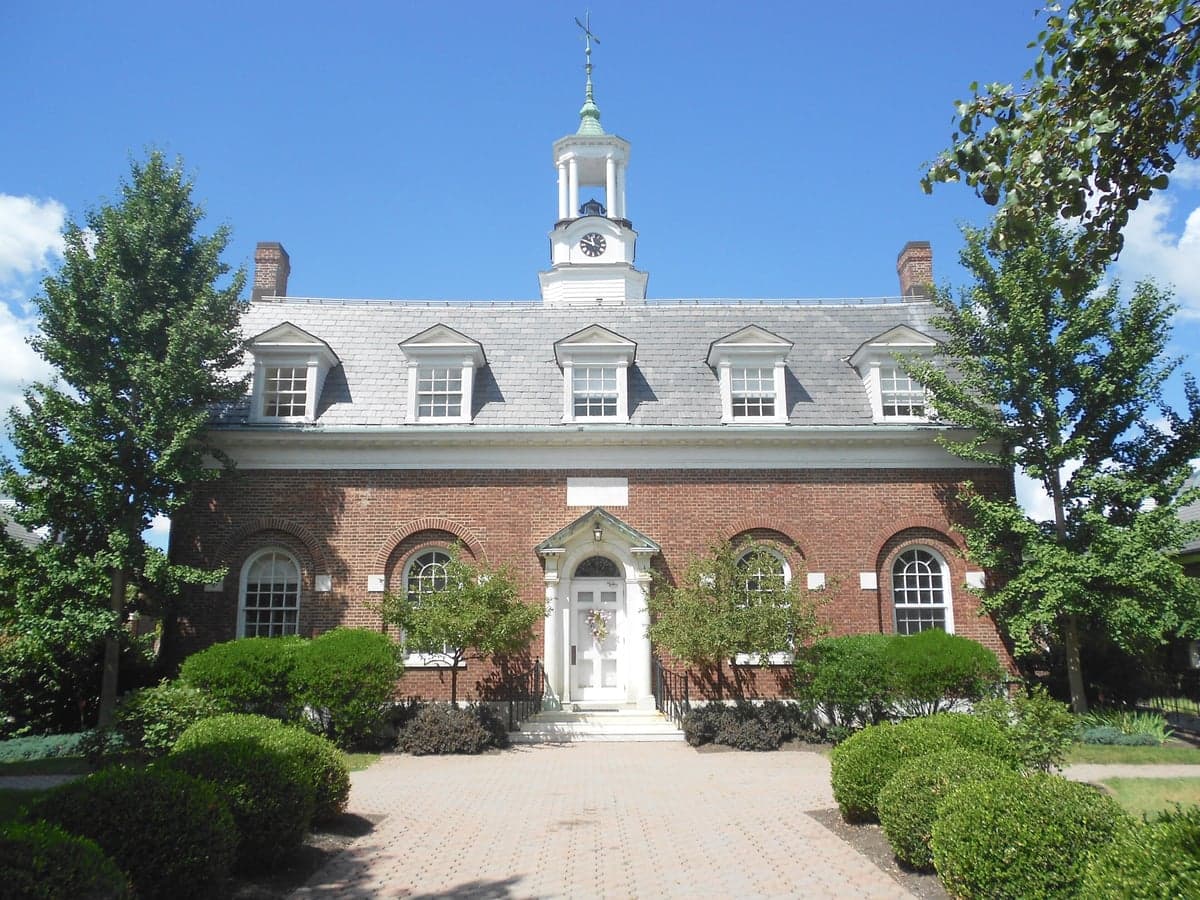
Photo: Wikipedia
Strategic Assessment of Waverly, PA
Meaningful friction. Expect exposure to either population pressure, blast zones, or natural disaster risk. Consider buying a retreat property.
What does the Strategic Assessment tell us?
Our Strategic Assessment grades tactical survivability of an area. Major population centers, military targets, fallout zones, natural disasters, and border exposure all drive risk — lower exposure means a more defensible position in a crisis.
This is heavily inspired by Joel Skousen's Strategic Relocation book. Highly recommended you checkout the book ($)What does this tell us?
Our Strategic Assessment grades tactical survivability of an area. Major population centers, military targets, fallout zones, natural disasters, and border exposure all drive risk — lower exposure means a more defensible position in a crisis.
This is heavily inspired by Joel Skousen's Strategic Relocation book. Highly recommended you checkout the book ($)Strategic Pillars

Key Distances
Regional Safe Places
Below is our recommended "safe zones" in Pennsylvania and the surrounding area based on our strategic heuristics. For most people, it's unrealistic to live in a “safe zone” full-time due to work, family or other personal reasons. They tend to be more rural. However, many of these areas are perfect for second homes and retreat properties that double as a vacation home or even a short-term rental.




Important Note: For informational purposes only. This does not mean nothing bad ever happens in the green zones. Please use common sense. This is based on public data and modeled with AI. We tried to take a conservative approach but mistakes happen. We update this regularly as new information becomes available.
Solar Generator Recommendations
Backup power matters more here than in safer locations. We've picked three solar generators across budgets and capacity tiers — start with the budget unit if you only need a few essentials, or step up if you want to run a fridge and HVAC for days at a time.

Jackery Portable Power Station Explorer 300
Budget OptionPower on the Go: Weighing only 11 lbs, it's convenient to set up and store with book-sized foldable solar panels

BLUETTI Portable Power Station AC180
Designed for both indoor and outdoor scenarios, AC180 is highly capable as it has a robost capacity and continuous output power.

EF ECOFLOW DELTA Pro Ultra Power Station
Upgraded PickEcoFlow DELTA Pro Ultra is a whole-home energy system designed to grow with your family. Integrated with the Smart Home Panel 2, it scales to meet your evolving energy needs — keeping your home powered, intelligent, and secure through every stage of life.
We earn a commission, at no additional cost to you.
Strategic Assessment Analysis
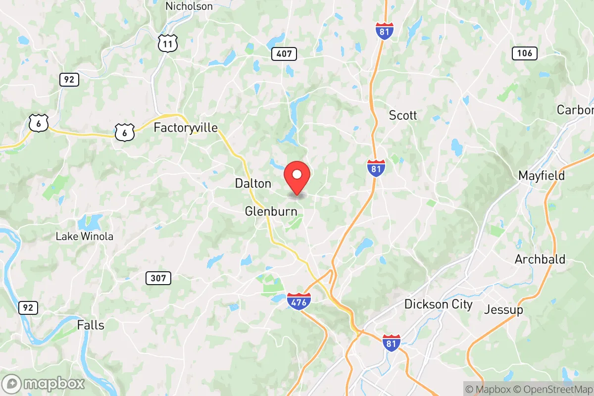
Waverly, Pennsylvania, offers a compelling strategic position for the relocation-minded reader prioritizing resilience and self-sufficiency, balancing proximity to major East Coast infrastructure with the insulating buffer of rural northeastern Pennsylvania. Located in Lackawanna County, roughly 15 miles northeast of Scranton and about 120 miles from both New York City and Philadelphia, Waverly sits in a zone that avoids the immediate blast and fallout risks of major metropolitan targets while retaining access to their supply chains and medical networks. The area's historical character as a quiet, wooded residential enclave, combined with its position in the Endless Mountains region, provides a baseline of geographic and community resilience that merits serious consideration for those planning for long-term stability rather than short-term crisis alone.
Geographic position and natural advantages for long-term stability
Waverly's primary strategic asset is its location within the Appalachian Plateau, a region characterized by rolling hills, dense forests, and a relatively low population density compared to the coastal corridor. The area sits at an elevation of roughly 1,200 to 1,400 feet, which provides a natural advantage against flooding—a key concern in many relocation zones. The nearby Lackawanna River and the larger Susquehanna River watershed are present, but Waverly itself is situated on higher ground, reducing the risk of catastrophic flood damage that plagues low-lying communities. The surrounding woodlands, part of the larger Pinchot State Forest system and state game lands, offer a substantial natural resource base for foraging, hunting, and timber. The climate is a standard four-season humid continental pattern, with cold winters averaging around 20°F in January and mild summers around 70°F in July. This means a reliable growing season of roughly 140–160 days, sufficient for staple crops like potatoes, beans, and squash, though the short season limits more heat-dependent produce. The area's water resources are generally abundant, with numerous small streams and groundwater wells common in the region, though private well yields vary by specific lot and require testing for contaminants like iron and manganese.
Risks, exposures, and proximity to fallout-relevant landmarks
The most significant risk factor for Waverly is its proximity to the New York City metropolitan area, which is a high-priority target for any nuclear or large-scale conventional attack scenario. At roughly 120 miles, Waverly falls outside the immediate blast zone for a ground burst on Manhattan, but it lies within the potential fallout plume corridor depending on prevailing winds. A detonation in New York City with a 300-kiloton yield could produce lethal fallout extending 50–100 miles downwind, with lower but still hazardous levels reaching farther. Waverly's position to the northwest of NYC means that under typical westerly wind patterns, the area would be less directly in the primary fallout path, but this is not a guarantee—wind shifts could change that calculus. The Scranton/Wilkes-Barre metro area, about 15 miles southwest, is a secondary concern, though it is not a major strategic target. Other nearby infrastructure includes the I-81 and I-84 corridors, which are critical logistics routes and could become chokepoints or targets during a conflict. The area also sits within the broader region of the Marcellus Shale natural gas fields, with numerous well pads and compressor stations within 20–30 miles. While these are not primary targets, a major industrial accident or sabotage event at a gas facility could create localized hazards. Natural disaster risks are moderate: the region experiences occasional severe thunderstorms, ice storms, and the rare tornado (EF-0 to EF-1 typically), but it is not in a hurricane zone, seismic zone, or wildfire-prone area. The primary natural risk is winter storms, which can knock out power for days to a week, a manageable but real concern.
Practical resilience for a relocator: food, water, energy, and defensibility
For the self-sufficient relocator, Waverly offers a mixed but workable picture. Water availability is the strongest asset: the region's groundwater is generally plentiful, and a properly sited well with a hand-pump or solar-powered backup can provide a reliable off-grid water source. Surface water from streams is also accessible, though treatment is necessary. Food production is feasible but requires effort: the growing season is short, so cold frames, greenhouses, or season extension techniques are nearly mandatory for year-round vegetable production. The surrounding forests support deer, turkey, and small game, and the area has a strong hunting culture, with public land access available. Local agriculture is present but not dominant—there are small farms and farmers' markets within a 15-minute drive, but the area is not a breadbasket. Energy resilience is a moderate challenge: grid power is reliable under normal conditions, but winter storms cause periodic outages. Solar potential is decent but not ideal—the region averages about 180 sunny days per year, with significant cloud cover in winter. A solar array with battery storage can work, but it will require oversizing for the darker months. Wood heating is a practical and common option, with ample firewood available from local forests. Propane is widely used for heating and cooking, and bulk delivery is available. Defensibility is a mixed factor: Waverly is a small, unincorporated village with a population under 2,000, spread out over a few square miles. The terrain is hilly and wooded, providing natural cover and chokepoints on the few main roads. However, it is not a fortress—there are multiple access points via PA-632, PA-438, and local roads. The community is tight-knit but not insular; local law enforcement is provided by the Pennsylvania State Police, with a response time of 15–30 minutes for remote homes. The nearest hospital is in Scranton (15 miles), which is a vulnerability if the grid or roads are compromised. Community resilience is a real asset: the area has a strong volunteer fire department, active churches, and a culture of neighborly assistance, which is critical for long-term stability. The local economy is not dependent on a single industry, with a mix of healthcare, education, and small manufacturing providing baseline stability.
Overall, Waverly presents a solid strategic option for the relocator who wants to be close enough to East Coast infrastructure to access it in normal times but far enough to avoid the worst of a major crisis. The area's natural advantages—elevation, water, forest resources, and a moderate climate—outweigh its risks, provided the relocator is prepared for the realities of rural living: a short growing season, winter weather, and the need for self-sufficient water and energy systems. The primary strategic weakness is the proximity to the NYC metro area's fallout risk, but this is a trade-off inherent to any location within 200 miles of a major target. For the reader who accepts that calculus and is willing to invest in on-site resilience—well water, solar or wood heat, food storage, and community integration—Waverly offers a defensible, livable base that balances access with insulation. It is not a bug-out location for the lone prepper, but a viable long-term home for a family or individual serious about building a resilient life in a region that has historically weathered change without breaking.

* Values derived from national, state, county, city and local statistics and may differ in a specific area. Last updated: 2026-08-24T20:10:25.000Z
Narrative content on this page is AI-generated and may contain mistakes. Verify any details that matter before acting on them.
ReloMaps may earn a commission from affiliate links at no extra cost to you.

