Photo: Wikipedia
Strategic Assessment of Wells River, VT
Meaningful friction. Expect exposure to either population pressure, blast zones, or natural disaster risk. Consider buying a retreat property.
What does the Strategic Assessment tell us?
Our Strategic Assessment grades tactical survivability of an area. Major population centers, military targets, fallout zones, natural disasters, and border exposure all drive risk — lower exposure means a more defensible position in a crisis.
This is heavily inspired by Joel Skousen's Strategic Relocation book. Highly recommended you checkout the book ($)What does this tell us?
Our Strategic Assessment grades tactical survivability of an area. Major population centers, military targets, fallout zones, natural disasters, and border exposure all drive risk — lower exposure means a more defensible position in a crisis.
This is heavily inspired by Joel Skousen's Strategic Relocation book. Highly recommended you checkout the book ($)Strategic Pillars

Key Distances
Regional Safe Places
Below is our recommended "safe zones" in Vermont and the surrounding area based on our strategic heuristics. For most people, it's unrealistic to live in a “safe zone” full-time due to work, family or other personal reasons. They tend to be more rural. However, many of these areas are perfect for second homes and retreat properties that double as a vacation home or even a short-term rental.


Important Note: For informational purposes only. This does not mean nothing bad ever happens in the green zones. Please use common sense. This is based on public data and modeled with AI. We tried to take a conservative approach but mistakes happen. We update this regularly as new information becomes available.
Solar Generator Recommendations
Backup power matters more here than in safer locations. We've picked three solar generators across budgets and capacity tiers — start with the budget unit if you only need a few essentials, or step up if you want to run a fridge and HVAC for days at a time.

Jackery Portable Power Station Explorer 300
Budget OptionPower on the Go: Weighing only 11 lbs, it's convenient to set up and store with book-sized foldable solar panels

BLUETTI Portable Power Station AC180
Designed for both indoor and outdoor scenarios, AC180 is highly capable as it has a robost capacity and continuous output power.

EF ECOFLOW DELTA Pro Ultra Power Station
Upgraded PickEcoFlow DELTA Pro Ultra is a whole-home energy system designed to grow with your family. Integrated with the Smart Home Panel 2, it scales to meet your evolving energy needs — keeping your home powered, intelligent, and secure through every stage of life.
We earn a commission, at no additional cost to you.
Strategic Assessment Analysis
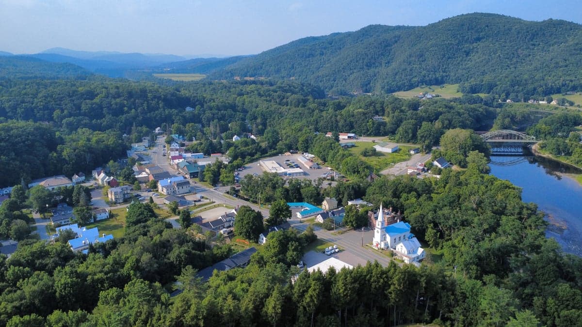
Wells River, Vermont, sits in a narrow valley where the Connecticut and Wells Rivers meet, offering a strategic position that balances isolation with access to critical supply routes. For a relocator with a prepper mindset, this small town—population roughly 400—provides a buffer from the chaos of major metropolitan areas while still being within a day's drive of resources in New Hampshire and northern Massachusetts. The area's resilience stems from its low population density, abundant natural water sources, and a geography that naturally funnels movement, making it a defensible location for those prioritizing self-sufficiency and community cohesion in an uncertain future.
Geographic position and natural advantages for long-term security
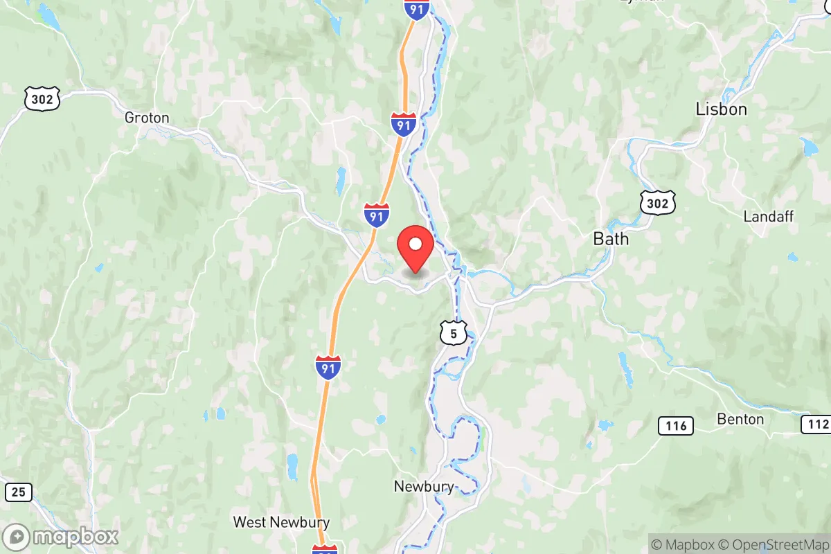
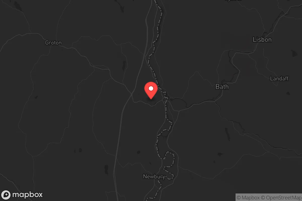
Wells River's location at the intersection of the Connecticut River and U.S. Route 302 gives it a dual advantage: it's a natural chokepoint for anyone moving through the region, but also a corridor for trade and escape if needed. The surrounding landscape is dominated by the Green Mountains to the west and the White Mountains to the east, creating a bowl-like terrain that limits easy access from multiple directions. This makes the area inherently defensible—any approach is visible from elevated positions, and the river itself acts as a natural barrier. The Connecticut River provides a reliable water source for drinking, irrigation, and sanitation, while the Wells River offers a secondary supply. The region's dense forests offer ample timber for construction, fuel, and concealment, and the soil in the valley is fertile enough for small-scale agriculture. For a relocator, this means you're not dependent on fragile municipal systems; you can tap into the land's resources directly. The town's elevation—around 400 feet—keeps it above most flood risks, though the river valleys can see seasonal flooding, which is manageable with proper planning. The climate is cold, with winters averaging 15-20°F, but this also discourages casual visitors and provides natural preservation for stored food. The nearest city of any size is St. Johnsbury, about 15 miles north, but it's small enough (population ~7,000) to be a resource hub rather than a threat. Boston is roughly 160 miles south, and Montreal is about 150 miles north—both far enough to avoid immediate fallout from urban collapse but close enough to monitor for intelligence.
Risks, exposures, and proximity to fallout-relevant landmarks
No location is perfect, and Wells River has its share of vulnerabilities. The most significant risk is its proximity to Interstate 91, which runs just west of town. This highway is a major north-south artery connecting Canada to the U.S. Northeast, and in a crisis, it could become a funnel for refugees, looters, or military movements. The town itself is not on the interstate, but the exit at Wells River (Exit 17) is a natural gathering point. If you're planning to hunker down, you'll need to secure that approach or have a plan to block it. The Connecticut River also poses a risk: it's a major waterway that could be used for transport by hostile groups or government forces. The Vermont Yankee nuclear power plant, located about 30 miles south in Vernon, is decommissioned but still holds spent fuel on-site. While the risk of a catastrophic release is low, any incident there would put Wells River downwind in a prevailing north-south wind pattern. The plant's proximity is a concern for fallout, though the distance provides some buffer. The area is also within 50 miles of the New Hampshire State Prison in Concord and the Vermont State Prison in St. Johnsbury—both potential targets for unrest or escapees. On the natural disaster front, the region is seismically stable, but ice storms and blizzards are common, capable of knocking out power for weeks. The 1998 ice storm that hit northern New England left parts of Vermont without power for over a month, and Wells River's rural infrastructure is similarly fragile. Flooding from the Connecticut River is a periodic risk, with major events in 1927, 1936, and 2011 (Tropical Storm Irene) causing significant damage. For a prepper, these are manageable with proper planning—elevated structures, backup power, and stored supplies—but they're real factors to consider.
Practical resilience for a relocator: food, water, energy, and defensibility
Wells River offers strong fundamentals for a self-sufficient lifestyle. Water is abundant: the Connecticut River is year-round, and the Wells River provides a secondary source. Both are clean enough for treatment with basic filtration or boiling, but you'll want to test for agricultural runoff and industrial contaminants from upstream. The town's municipal water system serves the core area, but most rural properties rely on wells, which are reliable if properly maintained. For food, the growing season is short—about 120 days—but the soil in the valley is rich, and you can supplement with hunting (deer, turkey, small game) and fishing (trout, bass, and salmon in the rivers). The nearby White Mountains offer foraging for berries, mushrooms, and medicinal plants. Energy is a challenge: the grid is vulnerable to winter storms, so solar panels with battery storage are a smart investment, especially given the region's 160+ cloudy days per year. Wood stoves are standard here, and the forests provide ample fuel—plan for 4-5 cords per winter. Propane tanks for backup heating and cooking are common. Defensibility is solid: the town's layout is compact, with most homes clustered along the river and Route 302. The surrounding hills provide natural observation points, and the narrow valley limits approach routes. You can secure the town's perimeter with minimal manpower if you coordinate with neighbors. The local population is small and largely self-reliant—many are farmers, loggers, or tradespeople—which means a community of like-minded individuals is possible. The nearest hospital is in St. Johnsbury (15 miles), but for serious trauma, you're looking at Dartmouth-Hitchcock in Lebanon, NH (40 miles). That's a vulnerability, so medical training and supplies are non-negotiable. The town has a volunteer fire department and a small police presence, but in a major crisis, you're on your own. The closest National Guard armory is in St. Johnsbury, which could be a source of support or a target, depending on the situation.
The overall strategic picture for Wells River is one of calculated risk. It's not a fortress, but it's a solid base for a relocator who values isolation, natural resources, and a community that hasn't been hollowed out by urban decay. The proximity to I-91 and the Connecticut River is a double-edged sword—it offers access but also exposure. The key is to treat this as a starting point, not a final destination. Build relationships with locals, secure your property, and have a bug-out plan for the worst-case scenarios. The area's history of self-reliance—Vermont was the last state to get a Walmart, and that was in 2012—suggests a culture that values independence over convenience. For a conservative-leaning prepper, that's a foundation worth building on. Just don't expect the government to save you; in Wells River, you're the first line of defense.
* Values derived from national, state, county, city and local statistics and may differ in a specific area. Last updated: 2026-04-21T22:54:52.000Z
Narrative content on this page is AI-generated and may contain mistakes. Verify any details that matter before acting on them.
ReloMaps may earn a commission from affiliate links at no extra cost to you.