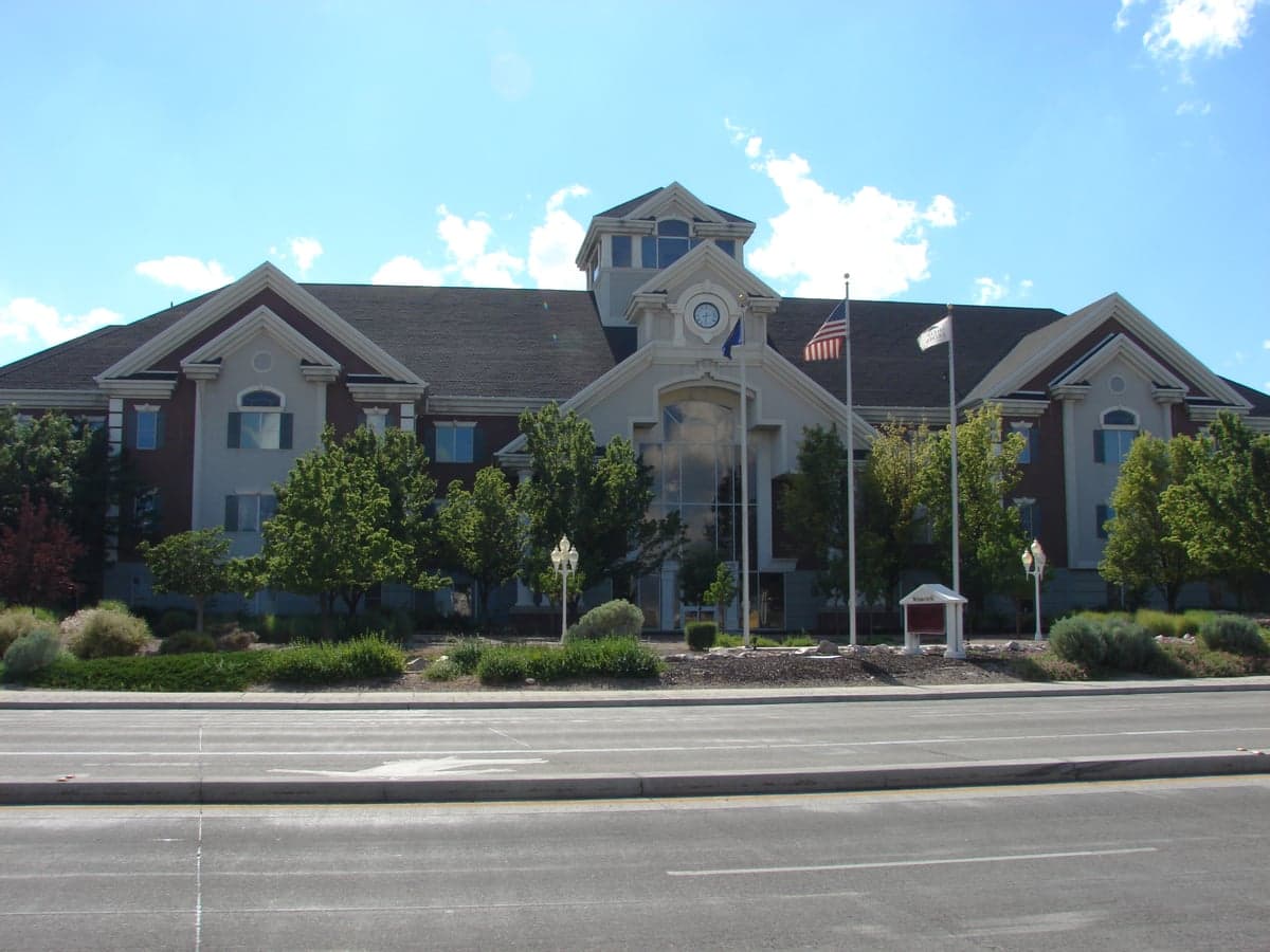
Photo: Wikipedia
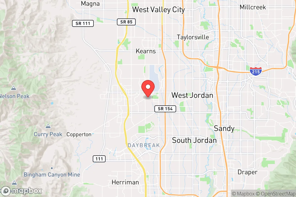
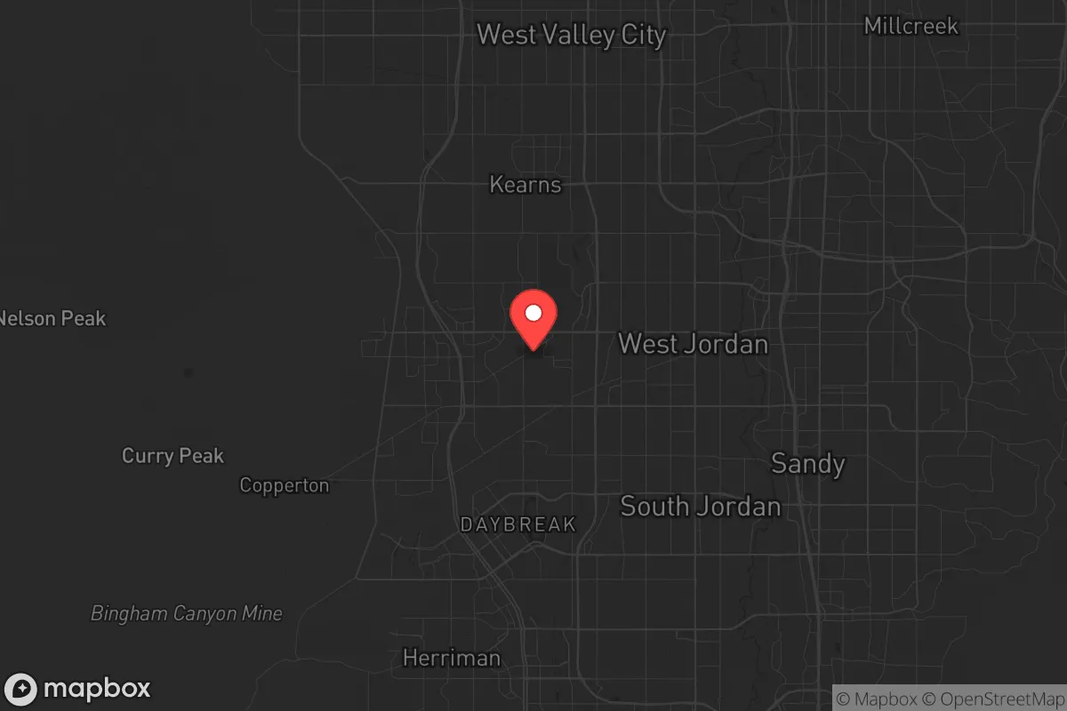
Strategic Assessment of West Jordan, UT
Workable tactical position. Some exposure to population density or targets, but generally defensible in a crisis.
What does the Strategic Assessment tell us?
Our Strategic Assessment grades tactical survivability of an area. Major population centers, military targets, fallout zones, natural disasters, and border exposure all drive risk — lower exposure means a more defensible position in a crisis.
This is heavily inspired by Joel Skousen's Strategic Relocation book. Highly recommended you checkout the book ($)What does this tell us?
Our Strategic Assessment grades tactical survivability of an area. Major population centers, military targets, fallout zones, natural disasters, and border exposure all drive risk — lower exposure means a more defensible position in a crisis.
This is heavily inspired by Joel Skousen's Strategic Relocation book. Highly recommended you checkout the book ($)Strategic Pillars

Key Distances
Regional Safe Places
Below is our recommended "safe zones" in Utah and the surrounding area based on our strategic heuristics. For most people, it's unrealistic to live in a “safe zone” full-time due to work, family or other personal reasons. They tend to be more rural. However, many of these areas are perfect for second homes and retreat properties that double as a vacation home or even a short-term rental.


Important Note: For informational purposes only. This does not mean nothing bad ever happens in the green zones. Please use common sense. This is based on public data and modeled with AI. We tried to take a conservative approach but mistakes happen. We update this regularly as new information becomes available.
Solar Generator Recommendations
Backup power matters more here than in safer locations. We've picked three solar generators across budgets and capacity tiers — start with the budget unit if you only need a few essentials, or step up if you want to run a fridge and HVAC for days at a time.

Jackery Portable Power Station Explorer 300
Budget OptionPower on the Go: Weighing only 11 lbs, it's convenient to set up and store with book-sized foldable solar panels

BLUETTI Portable Power Station AC180
Designed for both indoor and outdoor scenarios, AC180 is highly capable as it has a robost capacity and continuous output power.

EF ECOFLOW DELTA Pro Ultra Power Station
Upgraded PickEcoFlow DELTA Pro Ultra is a whole-home energy system designed to grow with your family. Integrated with the Smart Home Panel 2, it scales to meet your evolving energy needs — keeping your home powered, intelligent, and secure through every stage of life.
We earn a commission, at no additional cost to you.
Strategic Assessment Analysis
West Jordan, Utah, sits in a precarious but potentially advantageous position for those serious about long-term preparedness. As the state’s fourth-largest city, with a population pushing 140,000, it offers a blend of suburban infrastructure and direct access to the Wasatch Front’s natural resources, but its proximity to Salt Lake City—just 12 miles north—introduces significant strategic liabilities. For a relocator operating from a survivalist mindset, the city’s resilience hinges on its ability to buffer against both natural disasters and man-made disruptions, though the trade-offs are sharp. The area’s strong conservative culture, with Salt Lake County voting +12 Republican in 2024, aligns with a self-reliant ethos, but the urban sprawl and concentration of critical infrastructure demand a clear-eyed assessment of what West Jordan offers and what it risks.
Geographic position and natural advantages for a self-reliant household
West Jordan’s location at the base of the Oquirrh Mountains, with the Jordan River running through its eastern edge, provides a rare mix of flat valley land and immediate high-country escape routes. The city sits at roughly 4,300 feet elevation, giving it a four-season climate that supports both agriculture and winter survival skills—average January lows dip to 22°F, while July highs hit 93°F, making temperature extremes manageable with proper shelter. The nearby Wasatch Front offers dozens of canyons (e.g., Butterfield Canyon, Yellow Fork Canyon) that can serve as bug-out routes or secondary cache sites, all within a 20-minute drive from most West Jordan neighborhoods. Water access is a standout: the Jordan River flows through the city, and the underground aquifers of the Salt Lake Valley are tapped by municipal wells, but for a prepper, the real prize is the proximity to the Great Salt Lake (30 miles northwest) and the Uinta-Wasatch-Cache National Forest (15 miles east), which provide redundant water sources and timber for fuel or construction. The valley’s soil is fertile enough for small-scale gardening—many residents already run backyard plots—and the growing season of roughly 150 days allows for staple crops like potatoes, beans, and squash. However, the city’s flat terrain offers little natural defensibility; there are no hills or ridges within the urban core to use as observation points or fallback positions, meaning a relocator would need to rely on structural hardening and neighborhood cooperation rather than topography.
Risks, exposures, and proximity to fallout-relevant landmarks
The most glaring vulnerability for West Jordan is its position within the Salt Lake City metropolitan area, a population center of over 1.2 million people. In a scenario of civil unrest, mass casualty events, or a major disaster, the city would be directly in the path of any cascading failures from the urban core. The I-15 corridor, which runs just east of West Jordan, is a primary evacuation route and a likely chokepoint during a crisis—a single accident or roadblock could trap thousands. More critically, West Jordan lies within 20 miles of several high-value targets: the Salt Lake City International Airport (a major logistics hub), the Kennecott Copper Mine (one of the largest open-pit mines in the world, located in the Oquirrh Mountains just west of the city), and the Tooele Army Depot (a chemical weapons storage and disposal facility, roughly 30 miles southwest). A detonation or accident at any of these sites could produce fallout zones that extend into the valley, depending on wind patterns—prevailing winds blow from the south and southwest, which would push contamination toward the city from the depot and mine. The Wasatch Fault, which runs along the base of the mountains, poses a seismic risk: a magnitude 7.0 earthquake on the Salt Lake City segment would cause liquefaction in the Jordan River floodplain, where much of West Jordan’s housing is built. The city’s emergency services are robust for day-to-day operations—West Jordan Fire Department has six stations—but a regional event would overwhelm them quickly, as mutual aid agreements with Salt Lake City and other suburbs would be strained. For a relocator, the key takeaway is that West Jordan is not a remote redoubt; it’s a suburban buffer zone that requires active preparation for both natural and man-made threats originating from the surrounding region.
Practical resilience for a relocator: food, water, energy, and defensibility
For a single individual or family looking to establish a resilient household, West Jordan offers a mixed bag of practical resources. Water is the strongest asset: the city’s municipal supply comes from the Jordan River and deep wells, but a prepper should plan for redundancy. The average household can install a 1,500-gallon rainwater catchment system (annual precipitation is 16 inches, mostly as snow) for under $2,000, and the nearby mountain streams (e.g., Big Cottonwood Creek, 10 miles east) provide year-round flow for filtration. Food production is feasible but space-limited: typical residential lots are 0.15 to 0.25 acres, enough for a 1,000-square-foot garden that can yield 300-500 pounds of vegetables per season, plus a small chicken coop (allowed in most zones with a permit). The city’s farmers’ market (June-October) and local co-ops (e.g., the West Jordan Community Garden) offer seed-sharing and knowledge networks, but reliance on grocery stores—there are 12 major supermarkets within city limits—is a vulnerability in a supply-chain disruption. Energy independence is achievable but requires investment: the valley averages 220 sunny days per year, making solar panels viable—a 5kW system costs $12,000-$15,000 after federal credits and can cover 80% of a typical home’s usage. Natural gas is the primary heating fuel, but a backup wood stove (with a permit) can burn local timber from the national forest. Defensibility is the weak link: West Jordan’s suburban layout—grid streets, cul-de-sacs, and minimal natural cover—makes it hard to secure a perimeter. A relocator should prioritize a home on a corner lot or near a dead-end street, with reinforced doors and windows, and consider forming a neighborhood watch or mutual-aid group. The city’s crime rate is moderate (property crime at 2,500 incidents per 100,000 residents in 2023, below the national average), but in a crisis, looting and home invasions would likely spike, especially near major roads like 7800 South or Redwood Road.
The overall strategic picture for West Jordan is one of calculated trade-offs. It’s not a survivalist’s paradise—the urban proximity, fault-line risk, and lack of natural defensibility are real liabilities. But for someone who values community infrastructure, water access, and a conservative cultural base that supports self-reliance, it can work as a staging ground. The key is to treat West Jordan as a base camp, not a fortress: invest in water storage, solar backup, and a garden, but also have a secondary bug-out location in the mountains (e.g., a cabin in Tooele County or a plot near the Uinta Basin) for when the valley becomes untenable. The city’s resilience will depend on how well its residents organize locally—church groups, HOA networks, and prepper meetups are active here, and tapping into those can turn a vulnerable suburb into a resilient node. If you’re willing to put in the work and accept the risks, West Jordan offers a solid foundation; if you’re looking for a remote, off-grid escape, keep driving east or west.
* Values derived from national, state, county, city and local statistics and may differ in a specific area. Last updated: 2026-05-03T04:50:43.000Z
Narrative content on this page is AI-generated and may contain mistakes. Verify any details that matter before acting on them.
ReloMaps may earn a commission from affiliate links at no extra cost to you.