
Photo: Wikipedia
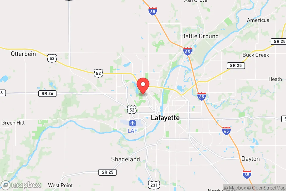
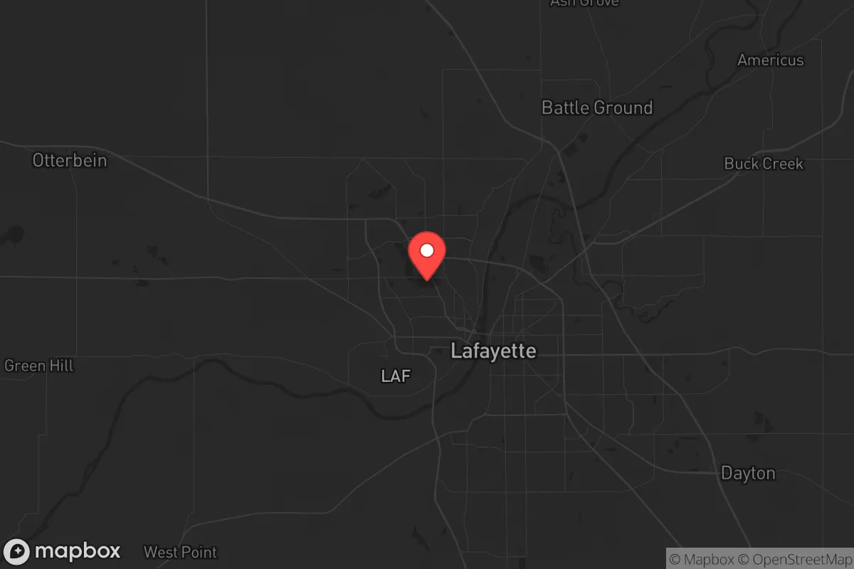
Strategic Assessment of West Lafayette, IN
Meaningful friction. Expect exposure to either population pressure, blast zones, or natural disaster risk. Consider buying a retreat property.
What does the Strategic Assessment tell us?
Our Strategic Assessment grades tactical survivability of an area. Major population centers, military targets, fallout zones, natural disasters, and border exposure all drive risk — lower exposure means a more defensible position in a crisis.
This is heavily inspired by Joel Skousen's Strategic Relocation book. Highly recommended you checkout the book ($)What does this tell us?
Our Strategic Assessment grades tactical survivability of an area. Major population centers, military targets, fallout zones, natural disasters, and border exposure all drive risk — lower exposure means a more defensible position in a crisis.
This is heavily inspired by Joel Skousen's Strategic Relocation book. Highly recommended you checkout the book ($)Strategic Pillars

Key Distances
Regional Safe Places
Below is our recommended "safe zones" in Indiana and the surrounding area based on our strategic heuristics. For most people, it's unrealistic to live in a “safe zone” full-time due to work, family or other personal reasons. They tend to be more rural. However, many of these areas are perfect for second homes and retreat properties that double as a vacation home or even a short-term rental.

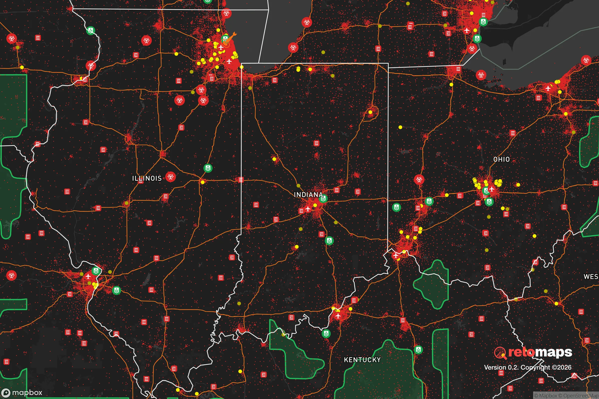
Important Note: For informational purposes only. This does not mean nothing bad ever happens in the green zones. Please use common sense. This is based on public data and modeled with AI. We tried to take a conservative approach but mistakes happen. We update this regularly as new information becomes available.
Solar Generator Recommendations
Backup power matters more here than in safer locations. We've picked three solar generators across budgets and capacity tiers — start with the budget unit if you only need a few essentials, or step up if you want to run a fridge and HVAC for days at a time.

Jackery Portable Power Station Explorer 300
Budget OptionPower on the Go: Weighing only 11 lbs, it's convenient to set up and store with book-sized foldable solar panels

BLUETTI Portable Power Station AC180
Designed for both indoor and outdoor scenarios, AC180 is highly capable as it has a robost capacity and continuous output power.

EF ECOFLOW DELTA Pro Ultra Power Station
Upgraded PickEcoFlow DELTA Pro Ultra is a whole-home energy system designed to grow with your family. Integrated with the Smart Home Panel 2, it scales to meet your evolving energy needs — keeping your home powered, intelligent, and secure through every stage of life.
We earn a commission, at no additional cost to you.
Strategic Assessment Analysis
West Lafayette, Indiana, presents a mixed strategic picture for the conservative prepper or survivalist. While its location offers some genuine resilience advantages—namely a robust local food system and a diversified energy grid—its proximity to a major research university and a large metropolitan area introduces significant vulnerabilities. For a relocator prioritizing long-term stability and self-sufficiency, this is not a bunker location but a calculated trade-off: you gain logistical depth and community resources, but you accept a higher risk profile tied to civil unrest and infrastructure dependency.
Geographic position and natural advantages for long-term stability
West Lafayette sits on the Wabash River, a major water artery that provides both a reliable surface water source and a natural barrier to the south. The surrounding Tippecanoe County is part of the Indiana Corn Belt, meaning local food production is not just possible but dominant. Within a 30-mile radius, you have some of the most productive agricultural land in the United States, which translates to a lower risk of food supply chain collapse compared to arid or urban-centric regions. The area is also flat, which is a double-edged sword: it makes farming and construction easy, but it offers almost no natural defensive terrain. There are no mountains, no dense forests, and few choke points. The climate is continental, with cold winters and hot, humid summers, which means you need to plan for both heating fuel and cooling power. The region is not prone to earthquakes, hurricanes, or wildfires, but tornadoes are a real seasonal threat, and the flat landscape offers little shelter from straight-line winds. The soil is rich, and groundwater is generally accessible via shallow wells, which is a major plus for off-grid water independence.
Risks, exposures, and proximity to fallout-relevant landmarks
The most significant risk for a West Lafayette relocator is its proximity to Purdue University. While the university is an economic engine, it is also a high-probability target for civil unrest, mass casualty events, and ideological conflict. A large, transient student population, combined with a politically active faculty, creates a volatile social environment that can erupt with little warning. In a national crisis—whether economic collapse, political breakdown, or a pandemic—the university campus would likely become a flashpoint for protests, resource hoarding, and potential violence. The city's population of roughly 50,000 swells to over 70,000 during the academic year, straining local infrastructure. Furthermore, West Lafayette is only 65 miles from Indianapolis, a major metropolitan area and logistical hub. In a grid-down scenario, Indianapolis would be a primary source of refugees, looters, and disease vectors. The I-65 corridor connecting the two cities is a natural funnel for displaced populations. There are no major military bases or nuclear power plants within immediate fallout range (the closest nuclear plant is about 90 miles away in Michigan), but the Purdue research reactor is a minor radiological concern. The Tippecanoe County landfill and the city's wastewater treatment plant are also potential contamination points if they fail during a disaster.
Practical resilience for a relocator: food, water, energy, and defensibility
On the practical side, West Lafayette offers some genuine prepper-friendly features. Food security is the strongest asset. You can buy directly from local farmers at the West Lafayette Farmers Market, and the surrounding county has dozens of u-pick operations, CSAs, and small-scale livestock producers. The Wabash River provides a reliable water source, but it requires filtration and treatment due to agricultural runoff and industrial discharge upstream. Municipal water comes from the river and is treated, but in a long-term outage, a well with a hand pump or a solar-powered pump is the better bet. The energy grid is served by Duke Energy, which has a mix of coal, natural gas, and renewables. The area is not a priority for grid hardening, so expect rolling blackouts during extreme weather events. Solar is viable but less efficient than in the Southwest; you'll need a larger panel array and battery storage. Natural gas is widely available, which is a plus for heating and cooking if the grid stays up. Defensibility is poor. The flat, open terrain means you cannot rely on natural cover. A rural property with a long driveway, a good fence, and a clear line of sight is your best bet. The local law enforcement presence is adequate for normal times, but in a widespread crisis, the Tippecanoe County Sheriff's Office will be overwhelmed. The nearest Level 1 trauma center is at IU Health Arnett in Lafayette, about 10 minutes away, which is good for acute care but not for long-term collapse scenarios.
The overall strategic picture for West Lafayette is one of moderate resilience with significant urban exposure. It is not a remote retreat, but it is not a high-risk coastal or border city either. The area's agricultural base and water access make it a viable location for a family or individual willing to invest in off-grid infrastructure and maintain a low profile. The biggest threat is the university and its associated population, which could turn the area into a conflict zone during a national breakdown. If you can secure a property outside the immediate city limits—ideally north or west of the Wabash, away from the I-65 corridor—you can leverage the local food system while minimizing the fallout from Purdue and Indianapolis. This is a location for the prepper who wants to be near resources but not in the crosshairs. It is not a fortress, but it is a defensible position if you plan ahead and keep your head down.
* Values derived from national, state, county, city and local statistics and may differ in a specific area. Last updated: 2026-04-22T07:27:17.000Z
Narrative content on this page is AI-generated and may contain mistakes. Verify any details that matter before acting on them.
ReloMaps may earn a commission from affiliate links at no extra cost to you.