Photo: Wikipedia
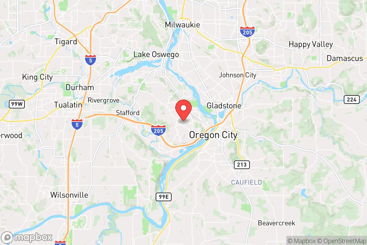
Strategic Assessment of West Linn, OR
Multiple tactical vulnerabilities. Population density, target proximity, or disaster risk are likely compounding. A retreat property and exit planning is required.
What does the Strategic Assessment tell us?
Our Strategic Assessment grades tactical survivability of an area. Major population centers, military targets, fallout zones, natural disasters, and border exposure all drive risk — lower exposure means a more defensible position in a crisis.
This is heavily inspired by Joel Skousen's Strategic Relocation book. Highly recommended you checkout the book ($)What does this tell us?
Our Strategic Assessment grades tactical survivability of an area. Major population centers, military targets, fallout zones, natural disasters, and border exposure all drive risk — lower exposure means a more defensible position in a crisis.
This is heavily inspired by Joel Skousen's Strategic Relocation book. Highly recommended you checkout the book ($)Strategic Pillars

Key Distances
Regional Safe Places
Below is our recommended "safe zones" in Oregon and the surrounding area based on our strategic heuristics. For most people, it's unrealistic to live in a “safe zone” full-time due to work, family or other personal reasons. They tend to be more rural. However, many of these areas are perfect for second homes and retreat properties that double as a vacation home or even a short-term rental.


Important Note: For informational purposes only. This does not mean nothing bad ever happens in the green zones. Please use common sense. This is based on public data and modeled with AI. We tried to take a conservative approach but mistakes happen. We update this regularly as new information becomes available.
Solar Generator Recommendations
Backup power matters more here than in safer locations. We've picked three solar generators across budgets and capacity tiers — start with the budget unit if you only need a few essentials, or step up if you want to run a fridge and HVAC for days at a time.

Jackery Portable Power Station Explorer 300
Budget OptionPower on the Go: Weighing only 11 lbs, it's convenient to set up and store with book-sized foldable solar panels

BLUETTI Portable Power Station AC180
Designed for both indoor and outdoor scenarios, AC180 is highly capable as it has a robost capacity and continuous output power.

EF ECOFLOW DELTA Pro Ultra Power Station
Upgraded PickEcoFlow DELTA Pro Ultra is a whole-home energy system designed to grow with your family. Integrated with the Smart Home Panel 2, it scales to meet your evolving energy needs — keeping your home powered, intelligent, and secure through every stage of life.
We earn a commission, at no additional cost to you.
Strategic Assessment Analysis
West Linn, Oregon, presents a mixed strategic picture for the conservative prepper or survivalist household. Its location along the Willamette River, just 12 miles south of Portland, offers a deceptive sense of pastoral retreat while placing you squarely within the blast radius of a major metropolitan collapse. The city’s resilience is not inherent; it is a function of how well you can leverage its natural choke points, water access, and community isolation while mitigating the very real risks of being a high-value target for refugees and looters from the north. For a single individual or family willing to invest in serious hardening, West Linn can be a defensible redoubt, but only if you understand the terrain and the threats.
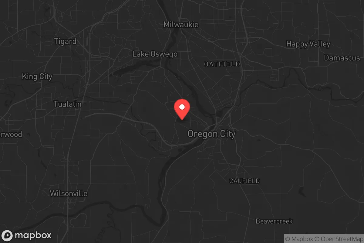
Geographic position and natural advantages for a strategic retreat
West Linn sits on a series of steep, forested bluffs overlooking the Willamette River, with the Tualatin River forming its western boundary. This topography is your first and best defensive asset. The city is accessed by only a handful of major routes—Interstate 205, Oregon Route 43, and a few local bridges—all of which can be monitored and, in a worst-case scenario, blocked with relative ease. The natural elevation provides excellent line-of-sight observation over the river valley, giving you early warning of movement from Portland or Oregon City. The area is heavily wooded with Douglas fir and maple, offering ample cover and concealment for a prepared property. The Willamette River itself is a reliable water source, though it requires filtration and treatment due to agricultural runoff and upstream industrial activity. The proximity to the Clackamas River, which feeds into the Willamette just north of the city, adds a secondary water option. For a relocator, the key advantage is that West Linn is not a through-town; it is a destination, meaning most traffic will be local or will bypass it entirely on I-205. This isolation, combined with the natural barriers of water and elevation, makes it one of the more defensible suburbs in the Portland metro area.
Risks, exposures, and proximity to fallout-relevant landmarks
The single greatest vulnerability of West Linn is its proximity to Portland. In the event of a major civic unrest event, mass casualty incident, or economic collapse, Portland’s population of roughly 650,000 will become a desperate, mobile threat. West Linn sits directly on the primary evacuation corridor south—I-205—which will become a parking lot of stranded vehicles and hostile foot traffic. The city is also within 20 miles of the Portland International Airport, a likely target for any coordinated attack or secondary disaster. The Willamette River, while a water source, is also a vector for contamination and movement; barges and boats can bring unwanted visitors from the north. Additionally, the area is in the Cascadia subduction zone, meaning a major earthquake (the "Big One") would likely destroy the I-205 bridges and the Abernethy Bridge, cutting off the city from the east and north. Landslides are common on the steep slopes after heavy rain, and the region’s aging infrastructure—particularly the water and sewer lines—is vulnerable to rupture. For the prepper, the risk is not just the initial event but the cascading failure of supply chains, law enforcement, and medical services that will follow. West Linn’s police force is small (around 30 officers), and mutual aid from Portland will be nonexistent in a crisis. You are largely on your own.
Practical resilience for a relocator: food, water, energy, and defensibility
For a single individual or family, building resilience in West Linn requires a deliberate, multi-year plan. Water is the first priority. The city’s municipal supply comes from the Clackamas River via the South Fork Water Board, but this system is vulnerable to earthquake damage and power loss. A well is rare in the urbanized parts of West Linn, but properties on the outskirts or in the more rural areas near the Tualatin River may have access to groundwater. Rainwater catchment is viable, given the region averages 40-50 inches of rain annually, but you’ll need a large storage tank and a filtration system rated for microbial contaminants. Food production is limited by the short growing season and heavy clay soil. Raised beds and greenhouses can extend the season, but you will not be self-sufficient on a standard suburban lot. The nearby Willamette Valley is prime agricultural land, but you’ll need to secure relationships with local farmers before a crisis—barter networks will be critical. Energy resilience is achievable. Solar is viable, though the frequent cloud cover reduces output by 30-40% compared to the Southwest. A backup generator running on propane or diesel is essential, as the grid is prone to ice storms and wind events. Defensibility is the strongest suit. The steep, winding roads and limited access points mean a small, determined group can hold a neighborhood. However, you must harden your specific property: reinforced doors, window film, a clear field of fire, and a plan for perimeter security. The neighbors in West Linn are generally affluent and politically moderate, which cuts both ways—they are less likely to be hostile but also less likely to be prepared. You will be a de facto leader in a crisis, so stockpiling medical supplies, ammunition, and communication gear (ham radio is a must) is non-negotiable.
The overall strategic picture for West Linn is one of high potential but high maintenance. It is not a bug-out location; it is a stand-and-hold position for those willing to invest serious time and capital into hardening. The natural advantages of elevation, water access, and limited egress are real, but they are offset by the proximity to Portland’s collapse and the region’s seismic risk. For a conservative relocator who values community stability and is willing to be a prepared outlier in a generally unprepared suburb, West Linn offers a defensible base. But do not mistake the quiet tree-lined streets for safety. The river that gives the city its name will also bring the chaos. Plan accordingly, and do not rely on the county or state for anything. Your resilience is your own responsibility.
* Values derived from national, state, county, city and local statistics and may differ in a specific area. Last updated: 2026-04-24T14:03:16.000Z
Narrative content on this page is AI-generated and may contain mistakes. Verify any details that matter before acting on them.
ReloMaps may earn a commission from affiliate links at no extra cost to you.