
Photo: Wikipedia
Strategic Assessment of Mineral County
Workable tactical position. Some exposure to population density or targets, but generally defensible in a crisis.
What does the Strategic Assessment tell us?
Our Strategic Assessment grades tactical survivability of an area. Major population centers, military targets, fallout zones, natural disasters, and border exposure all drive risk — lower exposure means a more defensible position in a crisis.
This is heavily inspired by Joel Skousen's Strategic Relocation book. Highly recommended you checkout the book ($)What does this tell us?
Our Strategic Assessment grades tactical survivability of an area. Major population centers, military targets, fallout zones, natural disasters, and border exposure all drive risk — lower exposure means a more defensible position in a crisis.
This is heavily inspired by Joel Skousen's Strategic Relocation book. Highly recommended you checkout the book ($)Strategic Pillars

Key Distances
Strategic Assessment Analysis
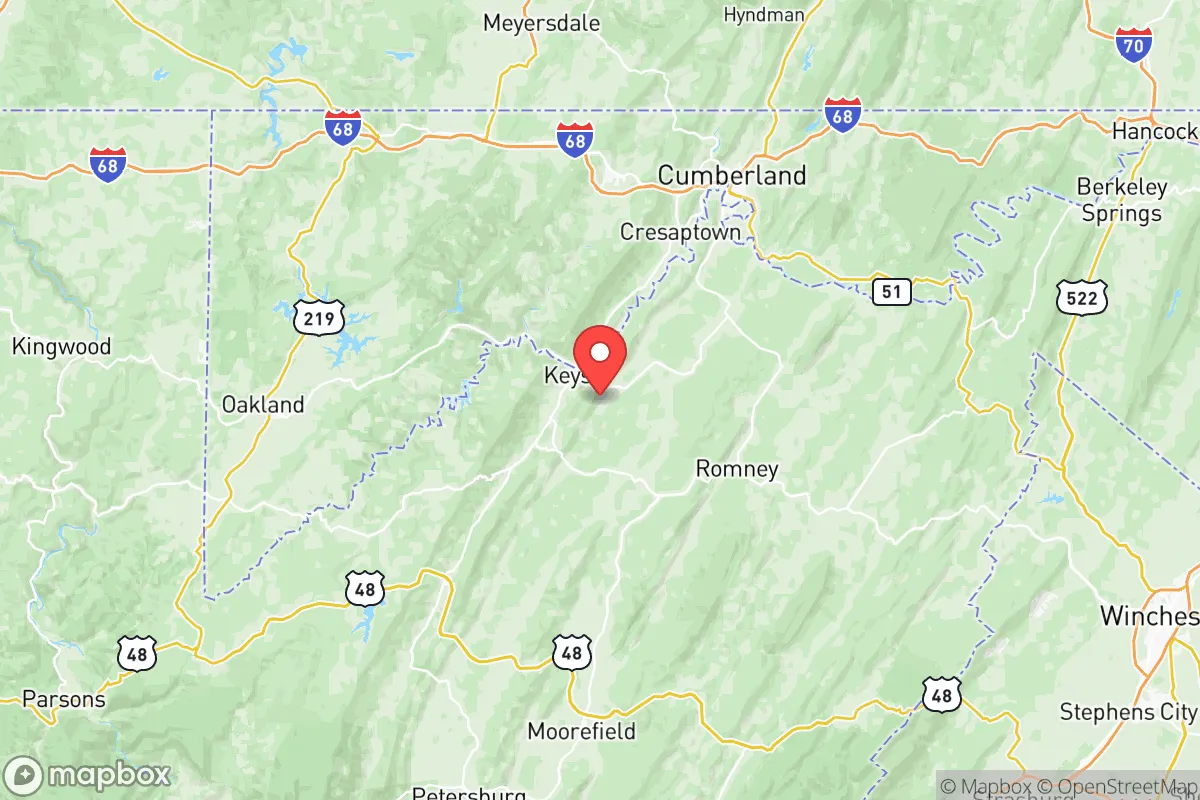
Mineral County, West Virginia sits in a sweet spot for the prepared relocator who wants to stay within striking distance of the Eastern Seaboard without being in the blast radius of its primary targets. Wrapped around the North Branch of the Potomac River and anchored by the towns of Keyser and Fort Ashby, this county offers rugged terrain, low population density, and a geography that forces any approach to be funneled through a handful of predictable routes. It is not remote enough to be logistically isolated, but it is far enough from the Washington-Baltimore corridor to avoid the initial chaos of a major incident, making it a viable intermediate staging area for those thinking through the worst-case scenarios.
Natural defensive terrain and strategic position in the Allegheny Highlands
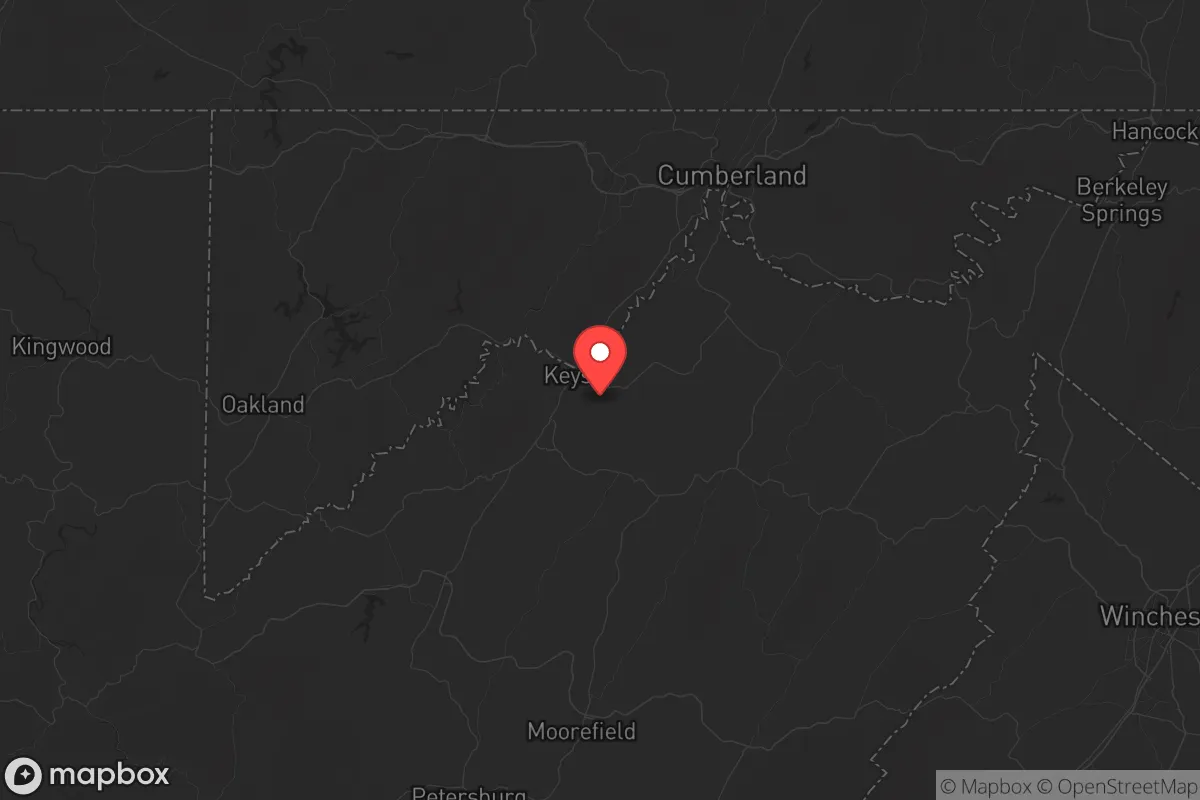
Mineral County’s geography is its single strongest asset for a survival-minded household. The county straddles the Allegheny Front, the eastern edge of the Appalachian Plateau, creating a natural barrier that separates the Potomac lowlands from the deeper West Virginia interior. The North Branch Potomac River cuts through the county from west to east, and the surrounding ridges rise 800 to 1,200 feet above the valley floor. This terrain provides natural observation points, limits lines of sight for anyone approaching from the east, and makes the area inherently defensible at a small-unit level. The population density sits at roughly 50 people per square mile, meaning rural stretches around Piedmont and Wiley Ford offer genuine buffer from neighbors without forcing you into total self-reliance. Interstate 68 runs along the county’s southern edge, connecting to Cumberland, Maryland, fifteen miles west, while US 220 cuts north-south through the heart of the county. That means you can move supplies or evacuate deeper into the West Virginia interior toward the Monongahela National Forest if needed, but anyone coming from the east has to navigate the funnel of I-68 through the mountain gaps. Green Ridge State Forest lies just across the Maryland line, adding tens of thousands of acres of public land that can serve as both a buffer and a resource cache for the prepared.
Fallout risks, target proximity, and natural hazard exposure
No honest assessment can ignore the elephant in the room: Mineral County sits roughly 130 miles west of Washington, DC, and about 140 miles west of Baltimore. That distance places it outside the thermal and blast radius of a nuclear event in those cities, but it is within the downwind fallout zone depending on prevailing weather patterns. The most concerning fallout-relevant landmarks within a two-hour drive include Fort Detrick in Frederick, Maryland, a major biodefense and research installation that would be a likely target in a conflict involving state actors, and the NSA headquarters at Fort Meade, roughly two and a half hours east. Both are high-value targets that would produce substantial fallout if struck. The county’s position west of the Eastern Continental Divide means fallout from
* Values derived from national, state, county, city and local statistics and may differ in a specific area. Last updated: 2026-05-27T20:49:02.000Z
Narrative content on this page is AI-generated and may contain mistakes. Verify any details that matter before acting on them.
ReloMaps may earn a commission from affiliate links at no extra cost to you.