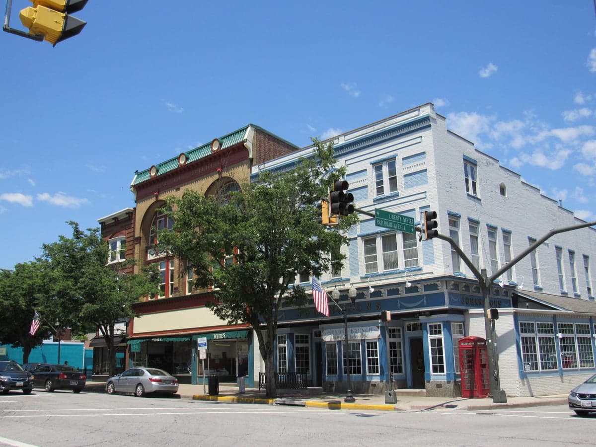
Photo: Wikipedia
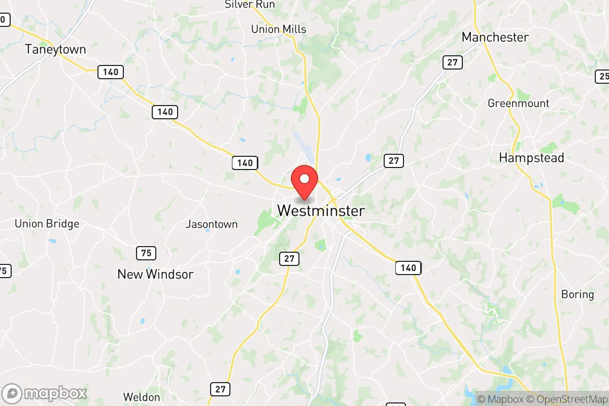
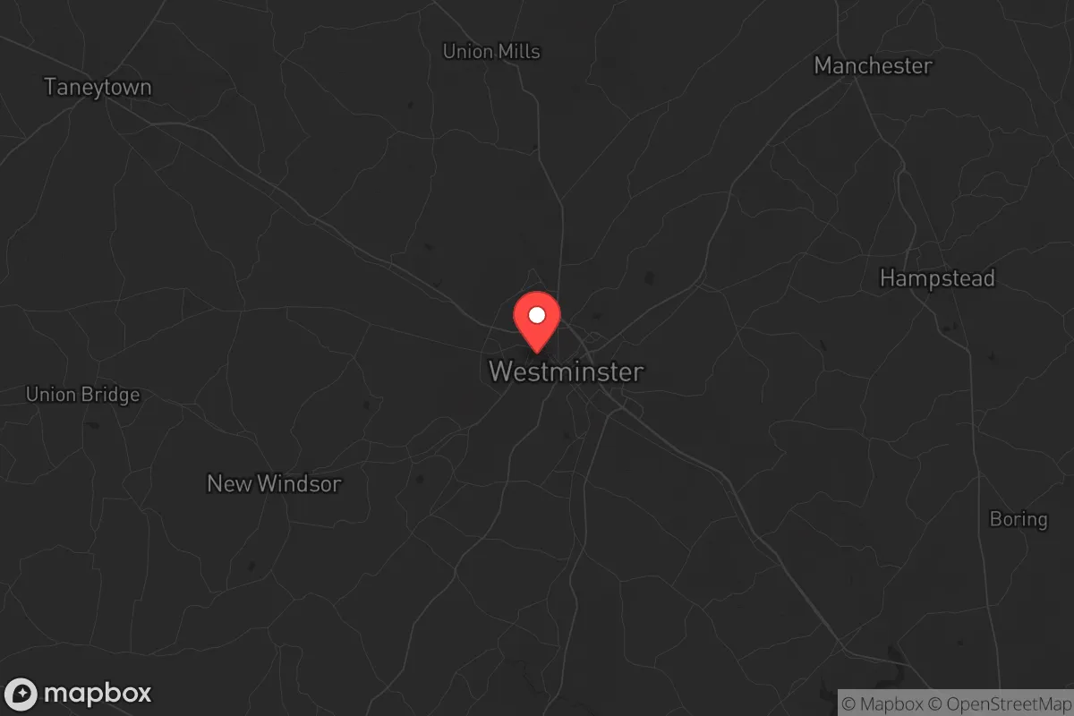
Strategic Assessment of Westminster, MD
Meaningful friction. Expect exposure to either population pressure, blast zones, or natural disaster risk. Consider buying a retreat property.
What does the Strategic Assessment tell us?
Our Strategic Assessment grades tactical survivability of an area. Major population centers, military targets, fallout zones, natural disasters, and border exposure all drive risk — lower exposure means a more defensible position in a crisis.
This is heavily inspired by Joel Skousen's Strategic Relocation book. Highly recommended you checkout the book ($)What does this tell us?
Our Strategic Assessment grades tactical survivability of an area. Major population centers, military targets, fallout zones, natural disasters, and border exposure all drive risk — lower exposure means a more defensible position in a crisis.
This is heavily inspired by Joel Skousen's Strategic Relocation book. Highly recommended you checkout the book ($)Strategic Pillars

Key Distances
Regional Safe Places
Below is our recommended "safe zones" in Maryland and the surrounding area based on our strategic heuristics. For most people, it's unrealistic to live in a “safe zone” full-time due to work, family or other personal reasons. They tend to be more rural. However, many of these areas are perfect for second homes and retreat properties that double as a vacation home or even a short-term rental.


Important Note: For informational purposes only. This does not mean nothing bad ever happens in the green zones. Please use common sense. This is based on public data and modeled with AI. We tried to take a conservative approach but mistakes happen. We update this regularly as new information becomes available.
Solar Generator Recommendations
Backup power matters more here than in safer locations. We've picked three solar generators across budgets and capacity tiers — start with the budget unit if you only need a few essentials, or step up if you want to run a fridge and HVAC for days at a time.

Jackery Portable Power Station Explorer 300
Budget OptionPower on the Go: Weighing only 11 lbs, it's convenient to set up and store with book-sized foldable solar panels

BLUETTI Portable Power Station AC180
Designed for both indoor and outdoor scenarios, AC180 is highly capable as it has a robost capacity and continuous output power.

EF ECOFLOW DELTA Pro Ultra Power Station
Upgraded PickEcoFlow DELTA Pro Ultra is a whole-home energy system designed to grow with your family. Integrated with the Smart Home Panel 2, it scales to meet your evolving energy needs — keeping your home powered, intelligent, and secure through every stage of life.
We earn a commission, at no additional cost to you.
Strategic Assessment Analysis
Westminster, Maryland, offers a strategic blend of rural buffer and logistical access that makes it a serious contender for those prioritizing resilience in an uncertain future. Positioned roughly 30 miles northwest of Baltimore and 60 miles from Washington, D.C., it sits far enough from major urban centers to avoid the worst of civil unrest or fallout, yet close enough to leverage supply chains and medical infrastructure if needed. For a conservative-minded relocator—whether a single individual or a parent—this balance of isolation and connectivity is the core of its appeal, provided you understand the specific vulnerabilities that come with being in the Mid-Atlantic corridor.
Geographic position and natural advantages for long-term stability
Westminster’s location in Carroll County places it on the Piedmont plateau, a region of rolling hills and fertile soil that historically supported agriculture and self-sufficiency. The area sits at an elevation of roughly 700 feet, which offers a modest but meaningful advantage over the flood-prone coastal plains to the east. The nearby Liberty Reservoir and the Patapsco River watershed provide reliable freshwater sources, though you’ll want to verify well depth and municipal water treatment redundancy if you’re buying property. The climate is temperate—four distinct seasons with an average annual snowfall of about 25 inches—meaning you can grow food from April through October without extreme heat or cold. The surrounding farmland, much of it still active, gives you a buffer of open space that complicates any large-scale movement of people or vehicles toward your position. That same farmland, however, is increasingly under pressure from suburban sprawl, so the window to secure a property with acreage is narrowing.
Risks, exposures, and proximity to fallout-relevant landmarks
No analysis is honest without naming the threats. Westminster’s primary risk is its proximity to the Baltimore-Washington corridor, a dense population zone that would be a primary target in any large-scale conflict or terrorist event. A nuclear detonation at Fort Meade or the National Security Agency would produce fallout that could reach Carroll County within hours, depending on wind patterns. The area is also within 50 miles of the Peach Bottom Atomic Power Station in Pennsylvania, a nuclear plant that, while well-regulated, represents a secondary risk for radiological release. On the civil unrest front, Westminster itself is a small city of roughly 19,000 people, but it serves as a regional hub for Carroll County’s 170,000 residents. During a breakdown of order, the town’s commercial corridors—especially along Route 140 and Route 27—could become chokepoints for displaced populations moving west from the cities. The Carroll County Sheriff’s Office maintains a professional and well-funded presence, but they would be stretched thin in a multi-county emergency. The local hospital, Carroll Hospital Center, is a 200-bed facility that could be overwhelmed quickly. For a relocator, the key is to live outside the town limits—ideally on a rural road with limited egress—to reduce the chance of being caught in a flow of evacuees.
Practical resilience for a relocator: food, water, energy, and defensibility
If you’re serious about preparedness, Westminster’s practical assets are mixed but workable. Food security is the strongest card: Carroll County has dozens of working farms, farmers’ markets, and a strong tradition of home gardening. The Carroll County Agricultural Center hosts regular livestock auctions and seed exchanges, and the local 4-H network is active—useful for networking with like-minded families. You can realistically raise chickens, goats, or even a small beef herd on 5-10 acres. Water is more nuanced. Municipal water in Westminster comes from the Liberty Reservoir, which is a single-point-of-failure risk if the treatment plant goes down. Well water is common in rural parts of the county, but you’ll need a hand pump or solar-powered backup because grid outages are not rare—Carroll County sees several multi-hour blackouts per year from storms. Energy is a vulnerability. The local grid is served by BGE (Baltimore Gas and Electric), which has improved its storm response but remains dependent on overhead lines that are vulnerable to ice storms and wind events. Solar panels with battery storage are a wise investment, and the county’s zoning is generally favorable for off-grid systems. Defensibility is where Westminster’s geography shines. The rolling hills and tree lines provide natural cover and observation points. Many rural properties have long driveways and limited road frontage, making them hard to approach unnoticed. The local gun culture is strong—Carroll County has a high rate of concealed carry permits and several reputable gun shops and ranges—so you won’t be an outlier if you choose to arm yourself. That said, Maryland’s state-level firearm laws are restrictive (magazine limits, a handgun roster, and a permitting process for purchase), so you’ll want to establish your inventory before moving or immediately upon arrival.
The overall strategic picture for Westminster is one of cautious optimism. It is not a hardened bunker location—it’s too close to the Eastern Seaboard’s population spine for that—but it offers a realistic middle ground for someone who wants to be prepared without moving to rural Montana. The community is predominantly conservative, with a strong church presence and a volunteer fire service that fosters local bonds. For a single individual, the trade-off is that social opportunities are limited compared to a city, but the prepper and homesteading networks are active enough to find allies. For parents, the schools are above average (Carroll County Public Schools consistently rank in Maryland’s top five), and the low violent crime rate (roughly 1.5 per 1,000 residents) means kids can play outside without constant worry. The biggest long-term risk is not a single event but the slow erosion of the buffer: as the D.C. exurbs push farther west, Westminster’s rural character is being chipped away. If you’re considering a move, the time to act is now, while 5-10 acre parcels are still available under $400,000 and before the county’s zoning laws tighten further. Prepare for the worst, but know that Westminster gives you a fighting chance to live a normal life while you do it.
* Values derived from national, state, county, city and local statistics and may differ in a specific area. Last updated: 2026-04-22T04:15:27.000Z
Narrative content on this page is AI-generated and may contain mistakes. Verify any details that matter before acting on them.
ReloMaps may earn a commission from affiliate links at no extra cost to you.