
Photo: Wikipedia
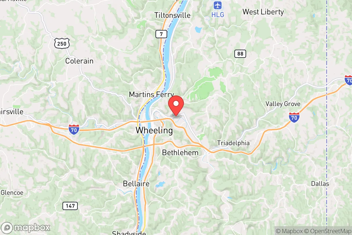
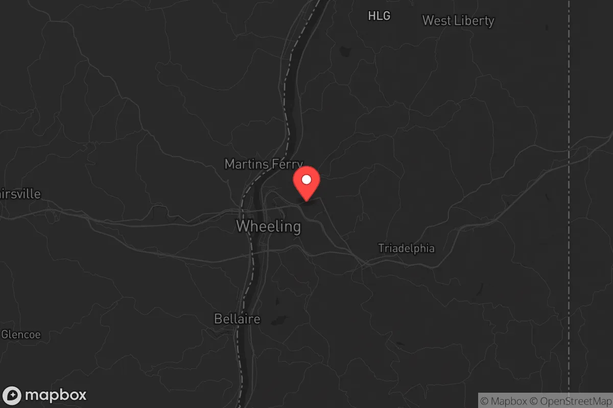
Strategic Assessment of Wheeling, WV
Meaningful friction. Expect exposure to either population pressure, blast zones, or natural disaster risk. Consider buying a retreat property.
What does the Strategic Assessment tell us?
Our Strategic Assessment grades tactical survivability of an area. Major population centers, military targets, fallout zones, natural disasters, and border exposure all drive risk — lower exposure means a more defensible position in a crisis.
This is heavily inspired by Joel Skousen's Strategic Relocation book. Highly recommended you checkout the book ($)What does this tell us?
Our Strategic Assessment grades tactical survivability of an area. Major population centers, military targets, fallout zones, natural disasters, and border exposure all drive risk — lower exposure means a more defensible position in a crisis.
This is heavily inspired by Joel Skousen's Strategic Relocation book. Highly recommended you checkout the book ($)Strategic Pillars

Key Distances
Regional Safe Places
Below is our recommended "safe zones" in West Virginia and the surrounding area based on our strategic heuristics. For most people, it's unrealistic to live in a “safe zone” full-time due to work, family or other personal reasons. They tend to be more rural. However, many of these areas are perfect for second homes and retreat properties that double as a vacation home or even a short-term rental.


Important Note: For informational purposes only. This does not mean nothing bad ever happens in the green zones. Please use common sense. This is based on public data and modeled with AI. We tried to take a conservative approach but mistakes happen. We update this regularly as new information becomes available.
Solar Generator Recommendations
Backup power matters more here than in safer locations. We've picked three solar generators across budgets and capacity tiers — start with the budget unit if you only need a few essentials, or step up if you want to run a fridge and HVAC for days at a time.

Jackery Portable Power Station Explorer 300
Budget OptionPower on the Go: Weighing only 11 lbs, it's convenient to set up and store with book-sized foldable solar panels

BLUETTI Portable Power Station AC180
Designed for both indoor and outdoor scenarios, AC180 is highly capable as it has a robost capacity and continuous output power.

EF ECOFLOW DELTA Pro Ultra Power Station
Upgraded PickEcoFlow DELTA Pro Ultra is a whole-home energy system designed to grow with your family. Integrated with the Smart Home Panel 2, it scales to meet your evolving energy needs — keeping your home powered, intelligent, and secure through every stage of life.
We earn a commission, at no additional cost to you.
Strategic Assessment Analysis
Wheeling, West Virginia, sits in a geographic sweet spot that offers genuine strategic depth for those thinking long-term about resilience, but it’s not without its own set of exposures. Nestled in the Ohio River Valley at the crossroads of Interstates 70 and 470, this old industrial city has seen its population shrink by roughly half since 1950, which paradoxically means less density, less traffic, and fewer people to compete with for resources during a crisis. The area’s economic anchor has shifted from heavy manufacturing to healthcare, logistics, and a growing remote-work base, giving it a quieter, more self-contained character than the booming metros to the east and west. For a relocator weighing stability against risk, Wheeling offers a real mix of natural buffers and man-made vulnerabilities that demand a clear-eyed look.
Geographic position and natural advantages for long-term security
Wheeling’s location is its strongest card. The city is tucked into the Appalachian foothills, with the Ohio River providing a reliable water source and the surrounding hills offering natural terrain that complicates any large-scale movement—whether that’s a protest column, a supply chain disruption, or something worse. The area sits roughly 60 miles west of Pittsburgh and 120 miles east of Columbus, putting it outside the immediate blast radius or fallout zone of any major urban target, yet close enough that you can still access specialist medical care or supply runs if roads are open. The local topography includes steep ridges and narrow valleys, which create natural chokepoints and defensible positions for those who own property on the higher ground. The climate is temperate four-season, with no hurricane risk, low tornado frequency compared to the Plains, and minimal earthquake activity. Winters bring snow and ice, but the region is accustomed to it—plows run, and life continues. For a prepper, the ability to grow food in the Ohio Valley’s fertile bottomlands, combined with ample hardwood forests for fuel and construction, makes this a place where subsistence is feasible, not just theoretical.
Risks, exposures, and proximity to fallout-relevant landmarks
No location is a fortress, and Wheeling has real liabilities. The most obvious is the Ohio River itself—while it’s a water asset, it also means the city’s low-lying areas, particularly along Main Street and the historic district, are flood-prone. The 2021 floods and the historic 1936 flood that swamped the downtown remind you that the river giveth and taketh away. Then there’s the industrial legacy: the area is dotted with old chemical plants, steel mills, and rail yards that could become secondary hazards during a disaster. The nearby Fort Martin Power Plant (a coal-fired facility) and the Willow Island Power Station are potential targets or failure points, though neither is a nuclear reactor. The closest nuclear facility is the Beaver Valley Power Station about 40 miles north in Shippingport, Pennsylvania—well within the 50-mile ingestion pathway zone that the EPA uses for emergency planning. If that plant suffers a containment breach, Wheeling would be downwind depending on weather patterns. Also worth noting: the city sits along the CSX rail mainline, which carries hazardous materials through the valley daily. A derailment like East Palestine in 2023 is not a hypothetical here—it’s a statistical probability over a long enough timeline. For the conservative prepper, the proximity to Pittsburgh (a major population and potential unrest center) is a double-edged sword: close enough to feel the ripple effects of urban collapse, far enough that you’re not in the initial wave.
Practical resilience for a relocator: food, water, energy, and defensibility
Wheeling’s practical resilience is a mixed bag that rewards preparation. Water is abundant from the Ohio River, but it’s also heavily polluted with industrial runoff, agricultural chemicals, and upstream sewage—any off-grid setup will require serious filtration (reverse osmosis or a high-quality gravity system like a Berkey with fluoride filters). Municipal water comes from the Ohio River treated at the Wheeling Water Treatment Plant, which is a single-point-of-failure vulnerability; if that plant goes down, the city has no backup source. Food security is better than in most urban areas: the surrounding Ohio and West Virginia countryside has active farms, farmers’ markets, and a strong hunting culture (deer, turkey, small game). The local grocery infrastructure is decent with a Kroger, Walmart, and Aldi, but supply chains here are thin—a regional disruption would empty shelves within 48 hours based on 2020 patterns. Energy reliability is a bright spot: West Virginia is a net energy exporter, with coal, natural gas, and some hydro from the river. Power outages happen during storms but are usually restored within hours, not days. For off-grid setups, solar is viable but winter cloud cover reduces yield; a backup generator running on propane or natural gas is the practical choice. Defensibility depends on where you buy. The flat riverfront areas are vulnerable to both flooding and easy access from the interstate. The hillside neighborhoods—Woodsdale, Elm Grove, and the higher elevations of Fulton—offer better vantage points, limited road access, and more privacy. Rural properties in Ohio County or just across the river in Belmont County, Ohio, give you even more buffer. The local population is aging and shrinking, which means fewer people to contend with but also a weaker community response network—you’ll need to build your own mutual-aid group.
The overall strategic picture for Wheeling is one of moderate-to-high resilience with specific, manageable risks. It’s not a bug-out paradise—you’re still within a day’s drive of several major cities, and the industrial infrastructure means you can’t ignore the possibility of chemical or rail incidents. But for a relocator who wants a place with real water, real timber, real farmland access, and a population that’s not going to turn into a mob overnight, it’s a solid bet. The conservative values of the region—self-reliance, firearm ownership, church networks, and a general distrust of federal overreach—align well with a prepper mindset. The key is to buy high, store your supplies above the flood line, build relationships with neighbors who share your outlook, and keep a go-bag ready for the 1-in-100-year event that the river or the railroad might throw at you. Wheeling won’t save you from everything, but it gives you a fighting chance to ride out the storm on your own terms.
* Values derived from national, state, county, city and local statistics and may differ in a specific area. Last updated: 2026-05-02T09:36:10.000Z
Narrative content on this page is AI-generated and may contain mistakes. Verify any details that matter before acting on them.
ReloMaps may earn a commission from affiliate links at no extra cost to you.